

Doctors Point – Mopanui, Sunday 11 February 2024
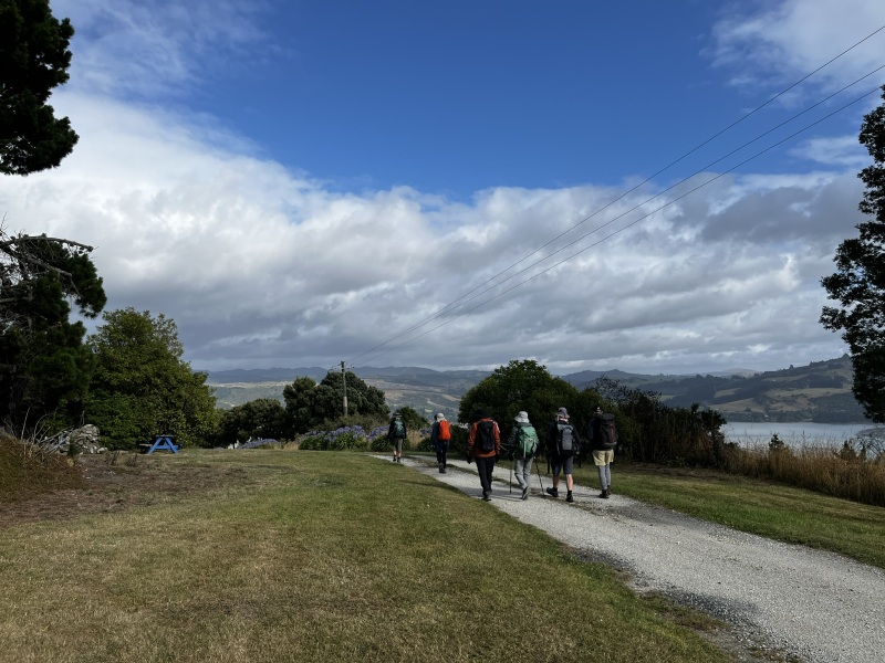
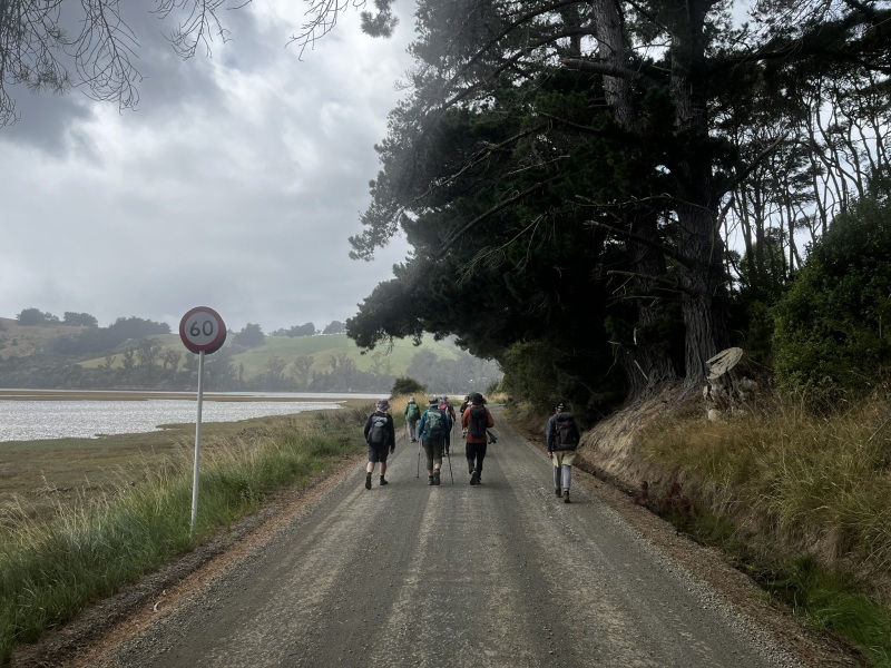


Six club members left Oamaru in two vehicles and headed south to Waitati, before continuing on along Doctors Point Road and eventually meeting up with the three Dunedin-based members, Jane, Helen & Rodney, at the top of White Road and the start/end point of the Mopanui Ridgeline Track. After preparing for the day’s walking, we set-off at 9:38 a.m., initially making our way back down the 900-metre length of White Road to reach Doctors Point Road and the further 1-kilometre walk out to Doctors Point Beach.
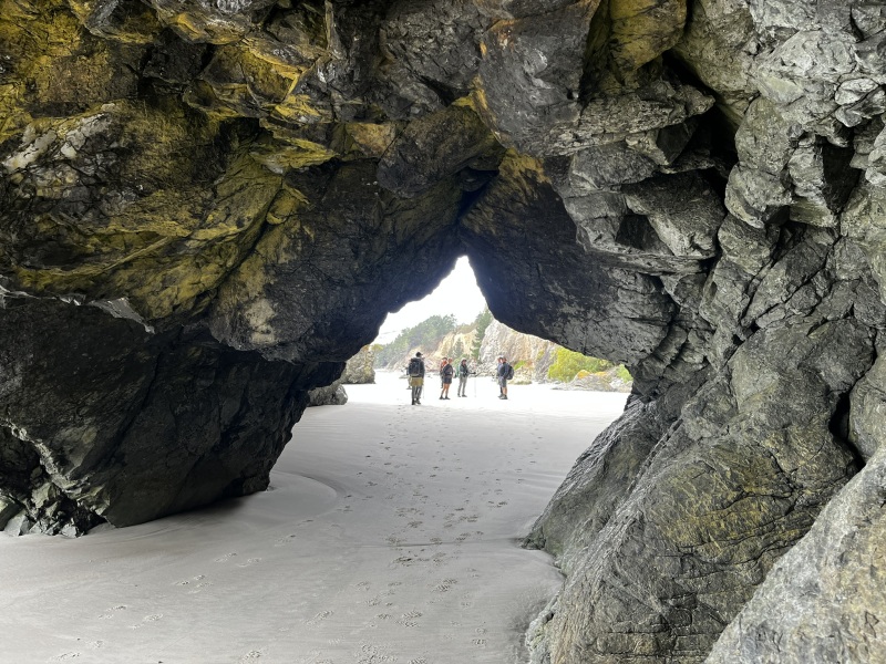
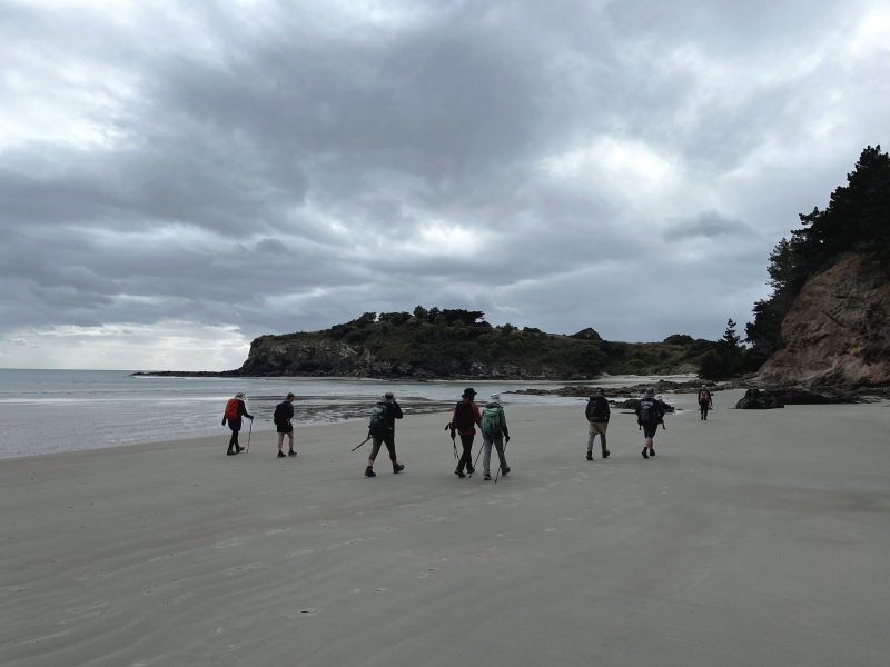
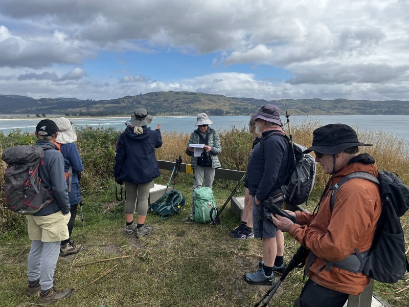
After 25 minutes, we arrived at Doctors Point Beach and began the beach section of the walk, heading southeast along the coast during the oncoming low tide. A short distance along Doctors Point Beach we passed through ‘Taoka’s Arches’, giving continued low tide access to the remainder of the beach. After 50 minutes of walking, we’d made our way to our first destination of the day, the Mapoutahi Pā site, where Jane had some prepared notes to share about the dark history of this 18th century Māori pā site, while we were able to take in the views across to Blueskin Bay, Warrington and the surrounding area.
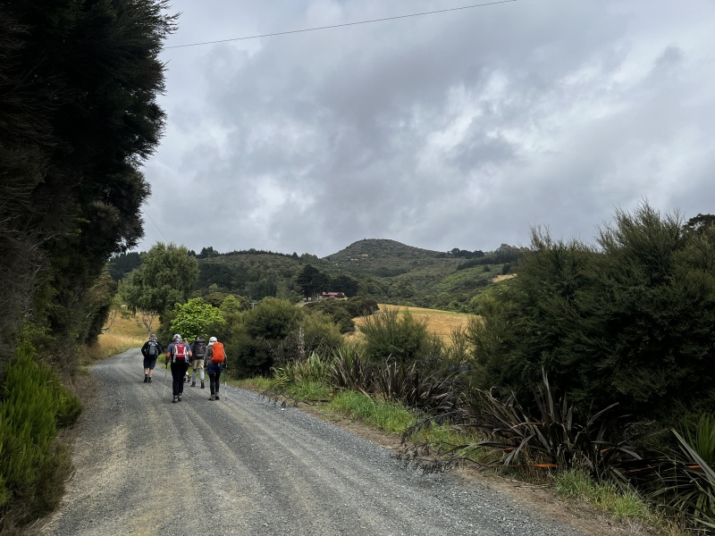
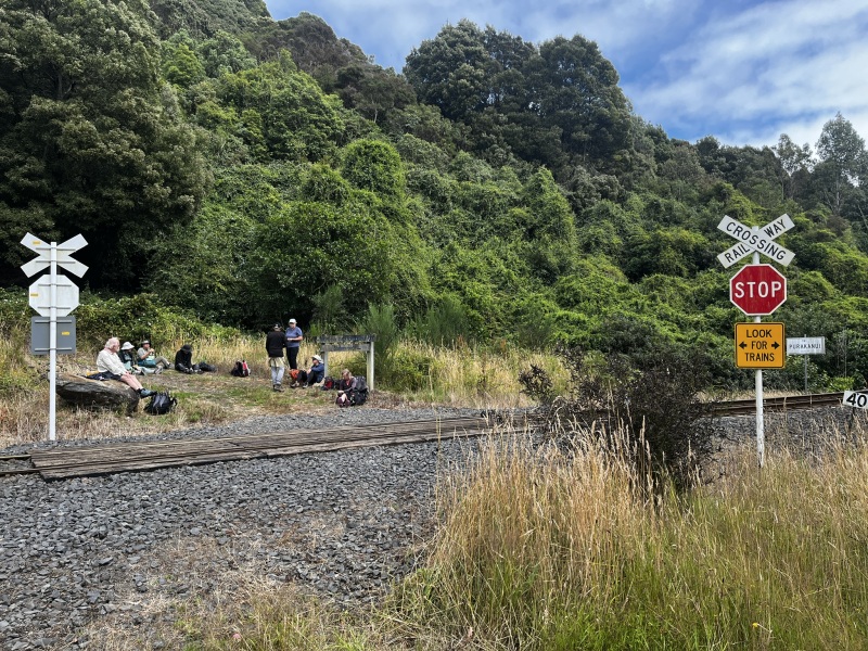
After 15 minutes, we were on our way once again, from the headland of the Mapoutahi Pā site and beach of Pūrākaunui Bay, we made our way south-southeast along the 3.7-kilometre length of Osborne Road around the edge of Pūrākaunui Inlet to the settlement of Osborne, while a light drizzle shower passed by. We turned southwest onto Pūrākaunui Station Road and commenced the 100-metre vertical ascent up to the Main South Line Railway, beneath the bush-covered peak of Mopanui (468m). At the top of Pūrākaunui Station Road, we crossed over the Main South Line Railway and regrouped for a lunch break at the entrance to the McKessar Track, a little over two hours after setting-out from the vehicles.
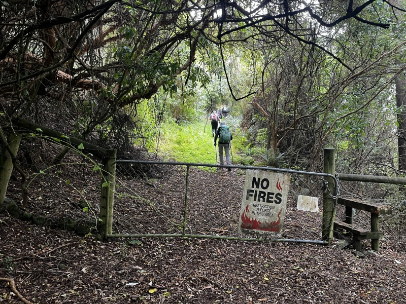
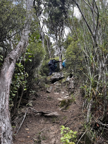
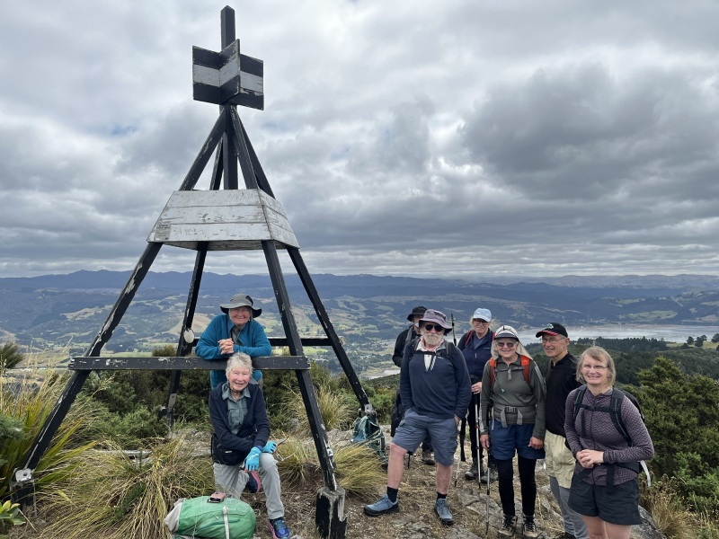
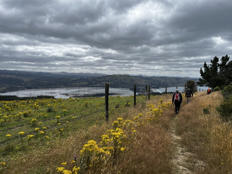
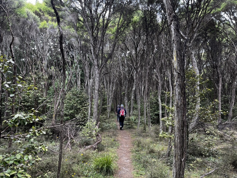
After the short lunch break, we initially started out up the McKessar Track, before branching off to the left to continue uphill onto a series of side tracks that would eventually lead us onto the peak of Mopanui. A short, but steep climb up the rocks surrounding the top of Mopanui was negotiated and all nine party members were soon enjoying the views from the top of the peak, an hour after starting up the McKessar Track. Half an hour of spectacular scenery from the top of Mopanui was enough before we all set-off once again, this time down the short track on the southern side of Mopanui, heading down to Mopanui Road in the direction of the Ōrokonui Ecosanctuary. Upon completing this relatively short bush walk, one member opted to head straight out to the Ōrokonui Ecosanctuary, while the remaining eight of us continued on along the 1.8-kilometre walk towards the northern end of the road, much of the way bordering an historic 19th century drystone wall and the modern 1.9-metre high, 47-kilometre long predator-proof fence surrounding the Ōrokonui Ecosanctuary. After 25 minutes we’d reached the end of Mopanui Road, but then continued north along the Mopanui Ridgeline Track, leading down a long flat, shallow gradient ridge with expansive views across Blueskin Bay to the Silver Peaks, eventually passing through a privately owned section of bush, which lead us out to the parked vehicles on White Road, arriving at 3:00 p.m. and completing a round trip of 5 hours and 22 minutes. Soon after, we drove back out to Waitati for a debrief and refreshments at the Blueskin Nurseries & Café, before parting company and heading for home.
Many thanks to Bess, Geoff, Maurice & Phyllis and Mike & Vicki for making the drive south to join Jane, Helen and I on an enjoyable wander along the beach, through the forest and bush, and across the volcanic tops of this peaceful location in such close proximity to the city of Dunedin.
Rodney Meiklejohn.