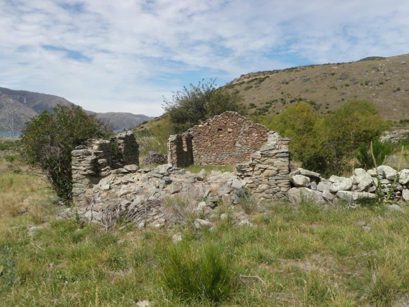
Lake Wilson, Aspiring National Park
6th-8th February 2021
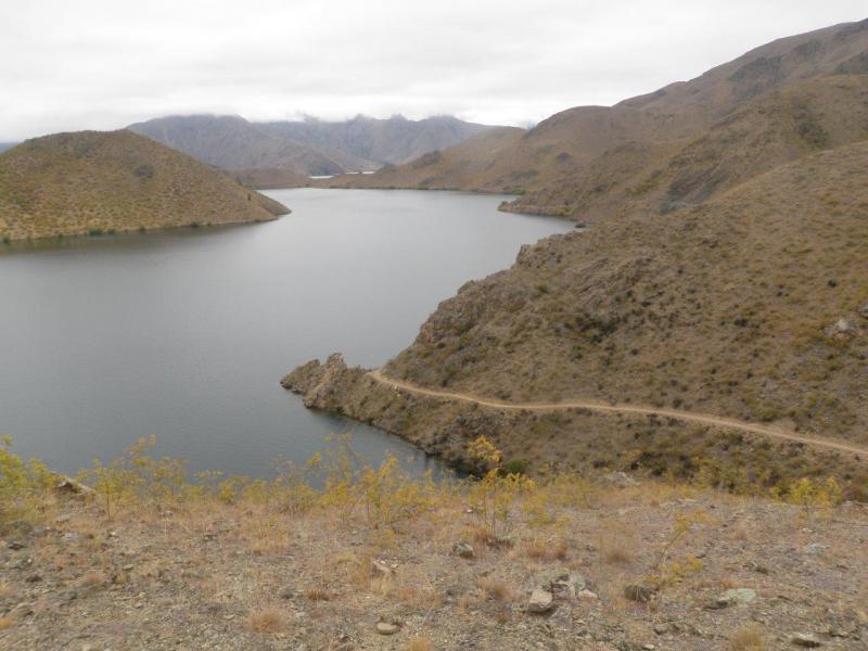
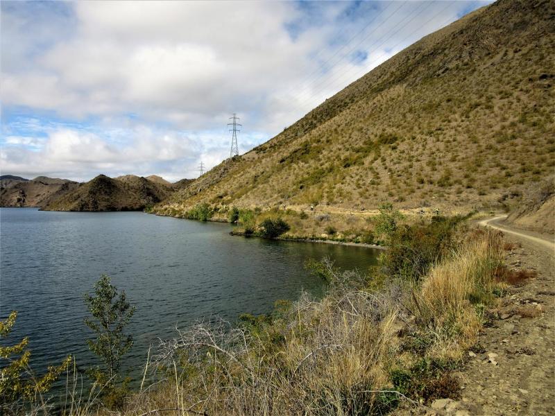
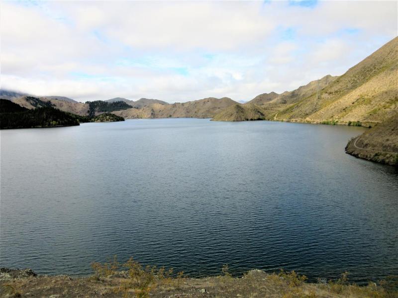
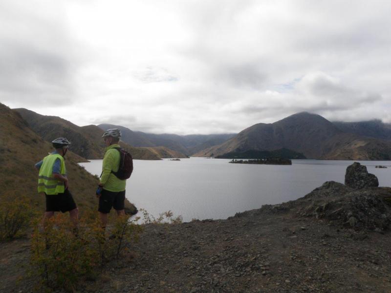
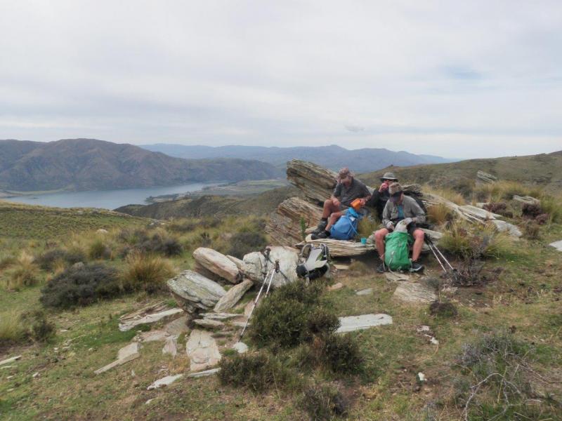
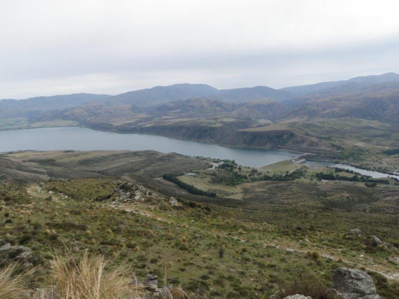
Summer finally arrived, perfect for a long weekend at Lake Wilson in Aspiring National Park.
Lake Sylvan DOC camping ground located near the Routeburn Track car park was our home for Friday night thus allowing us to have an early start on Saturday. After a warm night we were ready to go by 7am and enjoy the sunny day to follow.
Our group of ten all left together but were soon spread out as we all walked at our own pace, regrouping again at the Routeburn Falls hut, where we met the hut warden, John an ex-member of the North Otago Tramping and Mountaineering Club. John put the kettle on and made a brew accompanied with chocolate biscuits which was very much appreciated by those who took a rest break in the warden’s quarters.
Foot traffic on the Routeburn Track was very busy with runners, day walkers and through walkers coming the other way.
At the Harris Saddle, after lunch it was time to leave the highway and take the side track leading us down the face and around the edge of Lake Harris and into the Valley of the Trolls. ( But not a troll in sight)
Once again we re-grouped at the base of the climb to the outlet from Lake Wilson where we rested and re-hydrated before the final ascent.
About a third of the way up a rock step has to be negotiated, requiring a pack haul for some with shorter legs. Once above the rock step more up and then into a narrow gut which is often filled with snow before finally emerging out for our first views of Lake Wilson and its magnificent surrounds.
The next challenge was to find eight camp sites on the uneven and sometimes wet ground. Not far around the lake we each chose our tent spots somewhat spread out but within a smaller area.
The afternoon was spent relaxing in the stunning surroundings with a brew of choice in hand. As the sun dipped behind the ridgeline surrounding our camp, some of us took the short climb to once again be in the sun and enjoy the sunset along with a Broken Spectre effect.
Sunday dawned fine again and the plans were made for the day. Three groups with different objectives formed and set off for a great day whatever the result. Hand-held radios and visual sightings kept us all in touch throughout the day.
Our party of three opted for the easier route on the West ridge, checking out the many alpine flowers and plants while four others were making an attempt on summiting Mt Erebus and the third party made their way to the saddle between Mts Erebus and Xenicus for viewing into the North Routeburn and Flats Hut.
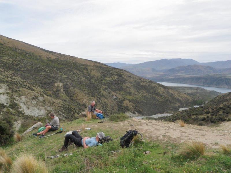
From our vantage point we were able to see the Erebus team on their high point along the skyline, not quite making it to the summit though. With so much to view all around including Lake McKerrow, the Hollyford Valley and the Tasman Sea there was no hurry to leave, but soon it was time to go back to the camp.
As the area around Lake Wilson has become so popular the hut wardens John and Jane visited to check on numbers camping around the lake which is the water source for the Falls and Flats huts.
Six of the party later completed a circumnavigation of Lake Wilson and back to the camp, where we all shared our days highlights over a beverage of choice.
A rather windy night ensued, a sleepless time for some and most were ready to leave camp at 7am on Monday.
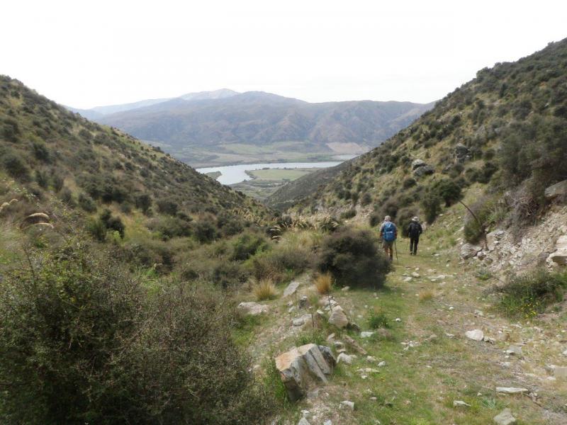
Back down the steep gut from the outlet to the valley below and once again we linked up with the Routeburn Track just below the Harris Saddle Shelter.
With a refreshment stop at the Falls Hut which recharged us up for the last leg back to the Routeburn Shelter where our last plan was made, some real food at Glenorchy.
A safe and successful weekend was enjoyed by our team of ten.
Thanks to Ross F, Robbie, Joe, Julian, Bill F, Bron, Phyl, Tim and Garth.
Maurice.
Mt Maitland Trip Report
Mt Maitland Trip, 23-24 January, Report
Well, this trip did not go, there was only interest from 2 of our members.
A day trip to Tabletop was offered on the Sunday and a mailout to members netted no further candidates either for this trip.
So it was just 3 who set off on a fine morning to check the new markers placed by DoC to identify the best route across Tabletop. It was a great day for a walk and we were very puzzled by the non attendance of other members, everyone clearly too busy to go tramping.
An attempt was made to navigate an alternative route to the Staircase Hut approach ridge, but due to a remarkable double failure of our electronic devices and a lack of analogue options available this was abandoned part way through and a return to Tabletop was the better option. A powerful lesson for us in the over reliance on devices. Luckily an ok place to make this mistake.
Lunch and a quick check of the new plastic warratah markers and then down the hill and back up the grunter to see us return to the car just after 3pm. A good day out and added to fitness levels needed for the trip to Lake Wilson in 2 weeks. Thanks Maurice and Phyllis for coming.
Robbie
Chinamans Cave
10/1/2021
Chinamans cave trip take one;
It was good to see some good keen trampers turn up and rearing to go for the 1st trip for the year. Six of us met at the car park and we picked up three more at Maheno on our way down to Trotters Gorge reserve from where we were going to start our hike to Chinamans Cave.
We set off up the track toward the university hut crossing Trotters Creek several times.
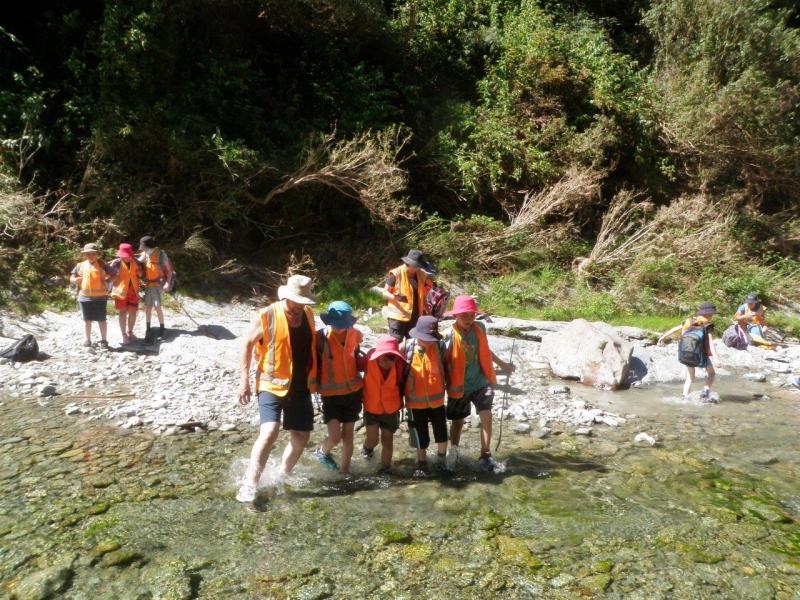
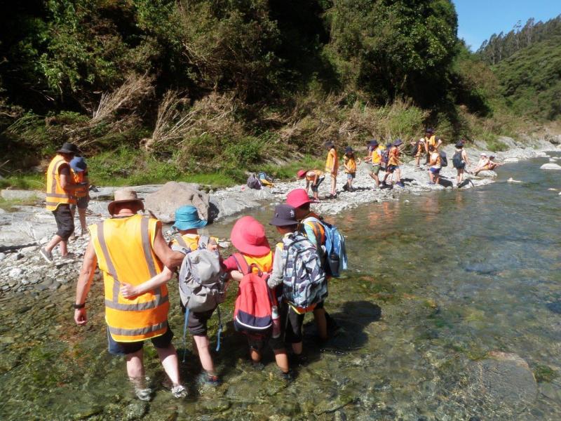
With the recent rain the week before the creek was still a bit high, so there was no way of avoiding wet boots. About half a km past the university hut we came to the clearing where you turn off to Dave’s track or South peak, but we veered to the left to carry on, following Trotters Creek.
We have hiked this track many times over the years but sadly the gorse is starting to take over. I thought this may be a wee bit of a problem, so I had brought a hand-held cutter with me to do some trimming along the way. However soon the gorse got bigger, so out came Johns saw, but this was taking up time and we were on a trip to the cave not a working bee. I decided to give the farmer whose property we were going to be on a call to see if we could come around to the Palmerston side of his farm and start there and he was all good with that. So we retreated back out of Trotters Gorge with wet feet again to the vehicles.
Chinamans cave trip take two;
We drove over Horse Range Rd to the Palmerston side, the farmer having told us to drive through his paddocks and park by some yards. It was now 11.30am, so from here we had two options. Either take a vehicle track up the hill to meet the track we would have been on if we had got through the gorse, or stay low and follow up a creek through a pine plantation that the farmer suggested would be a good option. None of as had been this way before so we decided to give it a go and it turned out to be a good option.
We followed a good stock track to start off, which led onto an old vehicle track and after about half an hour we came out into a clearing where the trees had been harvested in the past. We negotiated our way over this area and soon we were in a gorge where we came across an old caravan and hut.
At this stage we were only about half a km from the cave, but the next 300m was going to be a bit of a challenge with thick scrub and lots of ongaonga. After about half an hour we pushed our way through and finally arrived below the cave at 1pm where we had lunch. After lunch we scrambled up to the cave entrance and into the cave which, always impresses me every time I go there. With the bush in front of it you would never know it was there.
After exploring the cave, signing the visitor’s book which said it had been 3 years since we were last there, we headed back down to the track to decide our best way out since we didn’t feel like going back through that scrub again. It was decided we would climb high out of the valley and get on to the 4WD the track that we would have been on in the morning to get to the cave.
But after climbing over a wee rise we came across another valley with a good track going back down towards the pine plantation, which made it an easier way out and we missed all the scrub. We were back at the vehicles about 3.30pm and after all the problems of the morning we all agreed it had been a great trip covering some new territory.
Thanks to Julia, Mike, Bev, Roz, Bess, Chris, Jane and John for your great company; Neville
Mt Somers
Just two happy souls set off from Medway carpark at 8am, Saturday 12 December heading for Mt Somers – via Geraldine – for a weekend tramp. After charging the EV with power and at least one bod with coffee, we arrived at Woolshed Creek carpark (following an unexpected road diversion) after 11am. Given the lack of traffic on route, it was surprising to find a fairly full carpark – but this is a much-loved tramping spot for good reason. The scenery is magic, the tracks offer a range of physical effort – including a full 26km circuit, a scramble up to the 1687m Mt Somers summit, or a quiet ‘nature trail’ wander. Having not walked with full packs for a while, our intention was not too ambitious – the 5km track to an overnighter at Woolshed Creek Hut.
The weather could not have been better – sunny with a cool sou’wester breeze as we heaved packs on and started up a valley full of history. The story boards outlining the working reality of Blackburn coalmine were brought to life by remnants of old machinery, the engineering feat of the steep incline from minehead to railhead, the impressive extent of tailings – all achieved with sheer muscle power.
After following the old tramway, the track rises past the mine through regenerating beech and rocky slopes to a high point of 934m before descending to the hut tucked, streamside, in an apparently sheltered valley – the visiting ranger noted that the wind can and often does power through, however. For us, it could not have been more peaceful as we dumped packs in a fairly empty hut and wandered off to explore the swing-bridge, Emerald pool (living up to its name) and some of the rhyolitic basalt rock formations that make the Mt Somers reserve popular with climbers. The 26-bunk hut was a very comfy ‘great walks’ standard – and there is ample camping space around it. That there were a few parent/child combos staying over highlights the hut’s popularity with family groups.
That ‘rocks rule’ was even more evident as we set off at 7.30am next day to explore the “water caves” on route to the Saddle. Here, huge tumbled rocks provide a diverting maze for the creek to flow under, over, or around. The randomness of such huge forces is mind-boggling.
Cloud drifted in as we headed up to the 1170m Saddle but the views of Taylor and Old Man Ranges were still impressive and the sun emerged again as we met trampers heading up from the Pinnacles Hut. Although originally intending to head back via the Rhyolite Ridge Track, we decided to avoid what would have been a steeper descent to the carpark and returned via a one km walk up a road that accesses the hut before heading back across to the Miners Track (near the Trig) and retracing our footsteps back to the Woolshed Creek carpark by mid-afternoon. We agreed that this is an area worth exploring further.
Vicki and Mike.
Mt Kyeburn and Little Kyeburn
Mt Kyeburn & Little Kyeburn Track – Sunday, 29th November 2020
Seven of us left the Medway Street car park at 7am and travelled through Dansey’s Pass with a brief stop at the Dansey’s Pass pub for a pit stop and some had coffee.
We arrived at the end of Little Kyeburn Road around 9:00 a.m. where we met Helen & Rodney, who had driven through the Pigroot from Dunedin. With everyone now in the two 4WD vehicles, we continued on along the 4.6km of Mount Buster Road to the DOC car park at the entrance to the Oteake Conservation Park, at an elevation of 460m.
Just after 9:30 a.m., we set off along the 4WD track heading northeast from the car park, walking the two kilometres to the junction of the Little Kyeburn Track and the track we would continue to follow up the southwest spur of Mt Kyeburn. We couldn’t actually see Mt Kyeburn at all, as the cloud was down to about 1200m, although there was hardly any wind to speak of, so we were soon well and truly warmed up.
After 45 minutes walking, we reached an altitude of 850m and had passed the first of several zigzags on the 4WD track leading up the spur. After an hour and a quarter, at an altitude of 1055m, we stopped for a rest break on one of the long straights of the track. After two hours, at a corner of the continually zigzagging track, we reached an altitude of 1245m and could now look across to the northwest to the Buster Diggings disused goldmining site. To the north we could also see the top of Kohurau (2009m), the highest point of the St Marys Range, with Benmore Peak (1894m) and Totara Peak (1822m) also being visible in the distant north-northwest.
Two and a half hours after setting out, we reached the end of the 4WD track at an altitude of 1365m. From this point, we headed cross country, initially following a fence line straight up the slope, before deviating around to the north up through tussocks for quarter of an hour to reach Point 1446 metres, just over a kilometre west of Mt Kyeburn. After regrouping, we soon reached the 4WD track circling the top of Mt Kyeburn, leaving a final steep ascent of 120 vertical metres to the top. Seven of us took the steeper, direct route, with two walking northeast along the track towards the junction with the Mt Kyeburn Track, where the slope to the top was a much reduced gradient. Unfortunately, the cloud had not really cleared, although we did have some views to the northwest, but the view to the southeast out to Danseys Pass was limited at best. By 1:15 p.m., all but one of the nine party members had made the final climb to the top, where we sat beneath the old trig beacon for a late lunch and a well earned rest.
After taking some group photos at the top at 1:45 p.m., we headed north down to the junction of the Mt Kyeburn Track and continued on past Point 1558, while taking in the view northeast towards the clouded St Marys Range peaks of Mt Domett (1942m), Little Domett (1860m) and Grayson Peak (1660m), with Cone (1563m) the only peak totally free of cloud. As the tracked turned and headed southwest towards Buster Hut and the Buster Diggings, Mt Ida (1690m) and the Ida Range had cleared of cloud, offering a clear view out to the Maniototo Plain beyond. We walked the remainder of Mt Kyeburn Track, reaching Buster Hut around 3:00 p.m., where we once again regrouped and had another rest break before commencing the descent down Little Kyeburn Track.
We were soon on our way down Little Kyeburn Track and commencing the steep descent down into the gorge of Little Kye Burn. Despite some overgrowth of scrub on parts of the track, the walk out through the gorge was uneventful and we were all back at the vehicles by 5:30 p.m., completing an 8-hour round trip of 20 kilometres. Despite blue skies above us by this time, Mt Kyeburn was still totally enveloped in cloud.
We drove back out to Little Kyeburn Road, dropping off Helen & Rodney at their car, at which point we all drove back through the Pigroot to Palmerston, where we parted company getting back to Oamaru about 7.30pm.
Thanks to Jane, Julia, Pip, Bess, John, Brian, Helen & Rodney for the good company.
Also thanks to Rodney for writing up this trip report. Neville