Shag Point and Pukehiwitehi
18 September 2016
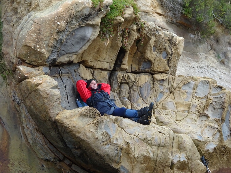
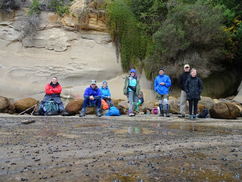
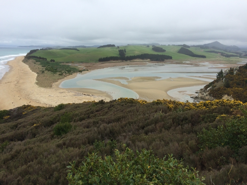
It’s good to have a local ‘ easy flat walk’ on the programme, so Shag Point with an option of a climb up Puketapo seemed a good plan. The walk out to the boat harbour along the rock shelf must be North Otago’s best kept secret. The walk did live up to seeing the amazing geological formations, but it was slippery, and took more effort than maybe expected to clamber over the rocks etc. The seal colony was much depleted in comparison to other times I have been there. We explored for signs of the coal mining as we went up a hill to view the Shag River mouth. Attempts to find a short-cut back to the cars through the forest failed, but what with the differing cribs and sussing out where the rail track may have gone, the road walk passed without too much boredom.
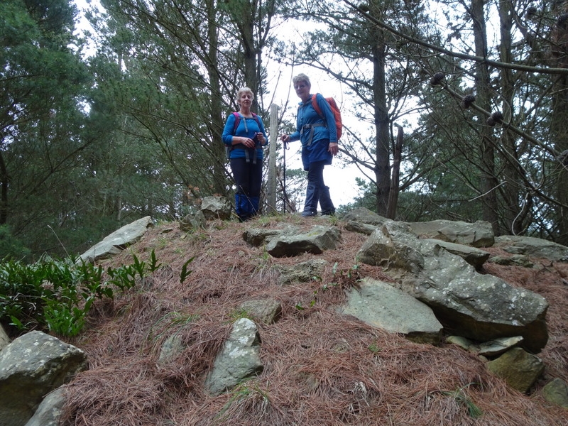
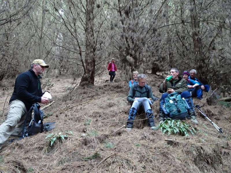
All were keen to climb Pukehiwitehi as Puketapu was closed for lambing. So following Jane M instructions we headed over the maim road. We did not actually find the driveway but we got over the railway line plus fence to scramble over cleared forestry rubble until hitting a forestry road, and eventually onto a road that leads to the top. There were excellent views Northwards until close to the top. Here we found the remnants of the majestic monument to McKenzie until it fell over and was replaced at Puketapo. Jane had given us the co-ordinates of the ‘tumbled down hill bits’ but after a short hunt, decided that it was too steep, slippery and the GPS’s were not happy with all the trees overhead. On our return journey we endeavoured to find the correct entrance, but again were unsuccessful. Thanks to Rodney for these web sites:
https://paperspast.natlib.govt.nz/newspapers/OW19021112.2.97.1
http://hockensnapshop.ac.nz/nodes/view/35392
It was an interesting more casual day, and it’s always fun to go somewhere new and conquer another peak even at if only at 227m. Thanks for the company of Helen, Rodney, Bill, Maurice Phyllis and Sharon.
Jane