

Trip Reports
Upper Wilkin River, Top Forks Hut
Saturday, January 7th, 2023
Upper Wilkin River, Top Forks Hut
18th – 21st December 2022
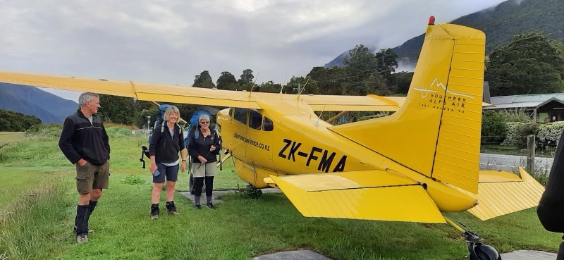
The Upper Wilkin is a beautiful valley to explore and made highly accessible by flying into Jumboland airstrip with Southern Alps Air.
After staying at Makarora Lodge for the night of 18th December, nine trampers waited for three scheduled flights at 7am, 7.30 and 8am, the plane carrying only three trampers and packs due to the short runway at Jumboland. After low cloud lifted, we enjoyed superb flights up the Wilkin, spotting the Siberia and Wonderland valleys on the way.
We waited until all nine trampers had arrived at Jumboland airstrip, a mowed strip on the true left of the Wilkin River, before following our pilot’s directions: “Walk up the slope between the beech trees, through the swamp, cross the river, and join the DOC track to the huts.” Finding a safe river crossing took some time, as the Wilkin was running high, but it was useful to practice our river crossing technique. The walk from Jumboland airstrip to Top Forks Huts took us 1 ½ hours.
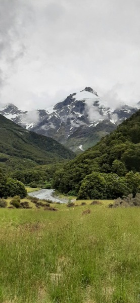

mpers at Top Forks, so we spread out comfortably between the two huts, (10 bunks, and 6 bunks), with grand views of Mts Pollux and Castor.
After settling into the huts and eating lunch, we set off to explore the South Branch of the Wilkin, up a track that leads to Waterfall Flat, where the valley ends in the cirque walls of Waterfall face. This is a rough track, high above Snow Bridge Gorge, and after 2 hours at 1100 metres we turned back, due to thick mist and rain. (Waterfall Flat is 4-5 hours from the hut, and we needed a full day for this trip.)
The next morning we headed up the North Branch in two groups, one leaving at 8am for Lake Castalia, the other group of five leaving later to lunch at Lucidus Lake. The North Branch is a wide valley, dramatic and magnificent. After the heavy rain of the previous night, the South Branch was running high, so more careful river crossings were practiced. It is a 1 hour walk through mossy beech forest, beside a raging Wilkin River tumbling over massive rocks, to Lake Diana above the bush line. From here it is an easy half hour walk through grasslands and over boardwalk to milky Lucidus Lake, surrounded by a high moraine wall on one side, and sheer bluffs with permanent ice and cascading waterfalls on the other.
After stopping for morning tea at Lucidus Lake, the lead group carried on to Lake Castalia. This took us another four hours from Lucidus, through magnificent herb fields, luxuriant in densely growing Mt Cook Lilies (in full bloom), native broom, speargrass, flowering celmisia, eyebright, native carrot, hebe, geum and tussock. Finally we scrambled high over boulders to Lake Castalia. What a stunning spot: still deep clear blue water reflecting waterfalls, ice and snow. Leaving the Lake at 3pm, passing thunderous, cracking avalanches swirling into Lucidus Lake, it took us only four hours back to the huts, moving faster downhill and finding the river levels had dropped.
It was up at 4.30am next morning to breakfast and pack, allowing for the 1 ½ hours walk back to the airfield for the first 7am flight. With the Wilkin River lower and the route familiar, we were back at the airstrip in an hour. What a welcome sight that little Cessna was as it flew round the corner!
A brilliant trip, made so accessible for everyone with the flights in and out.
Jenny Kitchin.
Mountain Road Bike Circuit 16 October.
Monday, October 17th, 2022
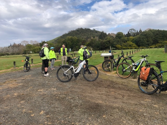
Eight members rendezvoused at Evansdale at 9 am this Sunday. The forecast was not promising a great day and small spits had appeared on the windscreen on the way down.
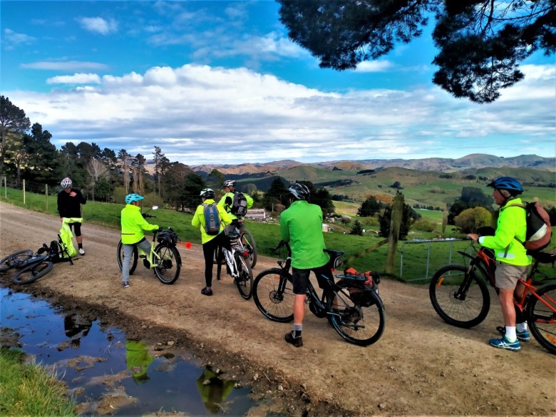
All ebikes on this trip, we set off towards Seacliff and deviated to Truby King Memorial Reserve for a quick look and a coffee stop for some. Then back to Church Rd and up over the big hill to cross over SH1 and towards Mountain Tracks Rd, called Steep Hill Rd on some maps. Only light traffic, a couple of horses and a bunch of motorcyclists. Under the first gate and no traffic at all. An early lunch was called at a spot overlooking the Waikouaiti River, steep country with rocky escarpments. We enjoyed watching a karearea family flying amongst the rock faces. Sunny warm conditions at this point, no sign of rain.
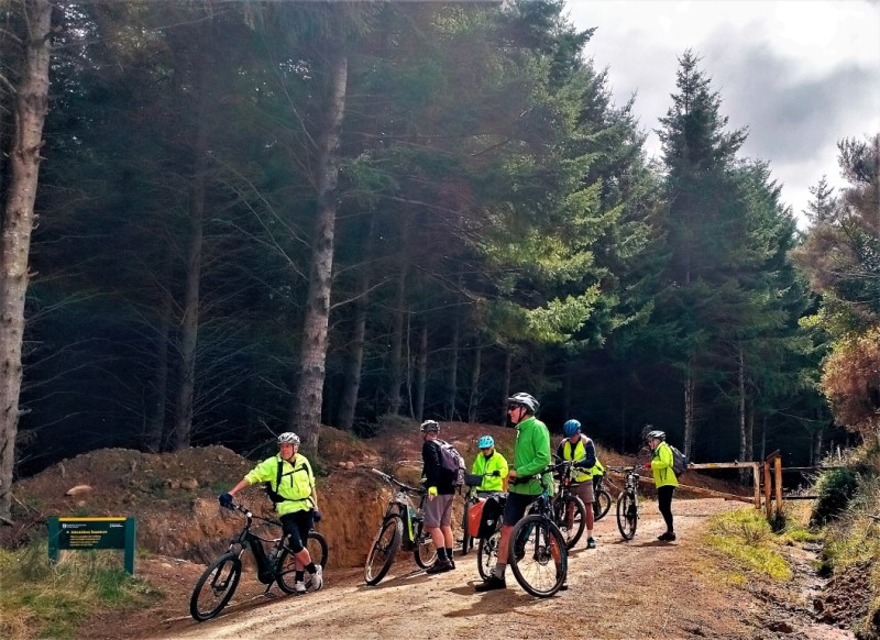
On along Mountain Tracks Rd, under the next gate, all of us have been there many times on the way back or to the Philip Cox Hut track, trudging this hour of road walking. Good to bike it on ebikes though, enjoyable.
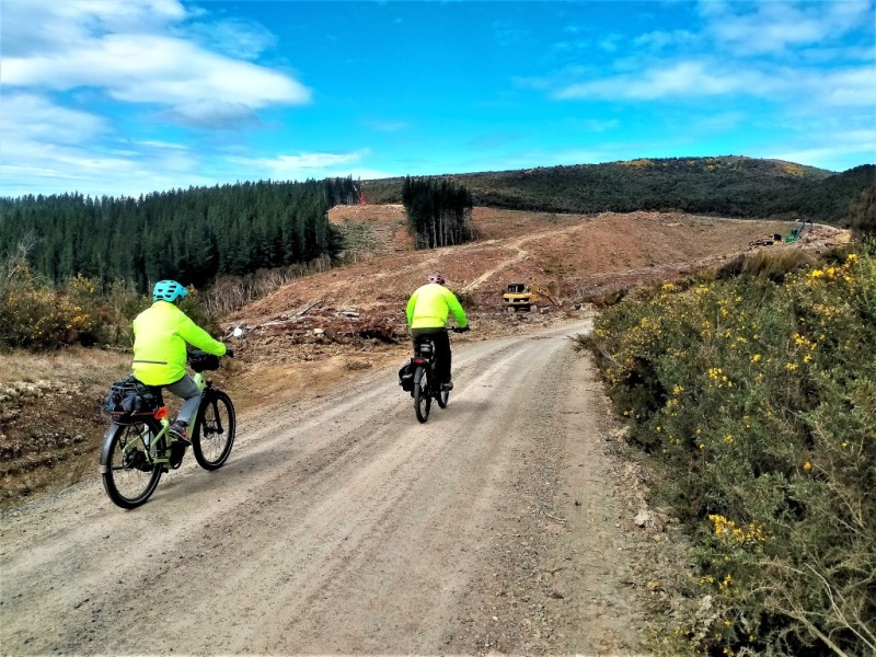
Lots of cars parked at the track entrance to Possum Hut Route, OTMC on their mission of 100 trips for 100 years. The surrounding hills were all freshly harvested, and mega million dollar gear was everywhere, good views without the pines.
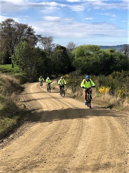
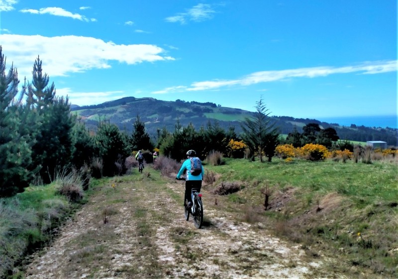
We found the right forestry road leading down the hill back towards Evansdale. It was very challenging with loose large gravel, very deep and loose, especially the uphill bits were tricky. Finally on smoother roads the last steep bit back to Evansdale and right on beer o’clock we found ourselves at Arc Brewery for a beverage and debrief.
A very pleasant day’s bike ride with great company, great weather and quite a few laughs.
Those there were, Ross, Maurice, Phyllis, Bill, Noel, Jane, Graham and Robbie (sorry you couldn’t make it Uwe)








Staircase, Tabletop Circuit, 8,9 October
Monday, October 10th, 2022
Only 3 members made it for this trip, a classic club trip close to home, where our club has spent many happy days in previous years.
After the cold snap in the previous few days, this weekend the weather gods turned on a fine show, with warm sunny conditions.
A variation to the usual circuit saw us go up to Tabletop on the first day encountering a few wind fallen obstruction on the way just before the Staircase Hut. A relaxing and enjoyable evening was had at the hut, with the fireplace now relatively well behaved and sending most of it’s smoke up the chimney instead of into the hut.
Next morning our ambitious plan was put into action and we started out on the normal Staircase part of the circuit, but instead of heading all the way down the ridge and back to the Mt Misery Rd carpark, we headed down a ridge starting at the big tussocky face about 30 minutes from the hut. The plan was to head down to the river from here and then find a ridge on the other side leading up to the new Kahikatea Hut and follow this up. Maurice had done all the homework needed and had plotted the desired route on his map program which he carried on his phone. It worked out exactly as planned and with small variations depending on the terrain and bush cover encountered was successfully followed and we found ourselves at the new hut for an early lunch. There was a work party busy at the hut with painting, building and logburner placing happening. After lunch the final fairly steep climb back out to the Red Hut and a previously placed vehicle was knocked off.
This trip was enjoyable and covered an area that we have long looked at and wondered about, it was great to have a closer look and we have established a very viable route from Staircase Hut to Kahikatea Hut that will no doubt be used again by others.
Thanks to Maurice and Julian for their company.
Robbie


Snow Skills Weekend – 10th and 11th September
Sunday, October 9th, 2022
Snow Skills Weekend
10th and 11th September


Brief introductions commenced and training began.
Within a short distance of the lodge a snowy slope allowed us to don crampons and ice axes where we then learned the rudiments of traversing slopes using various techniques.
As the day progressed, we moved further back into the Awakino Basin and found a suitable slope to practise self-arresting using ice axes.
This was a very informative, fun, and vigorous day and I think we all ended up with various bumps and bruises and in once case a bad sprain if not a possible fracture.
An enjoyable social night was held at the lodge that evening with tales aplenty.
Day two was to be a repeat but the weather curtailed to much activity, so we ended up exploring the basin and using our crampons again, with one member remaining at the lodge due to injury.
On behalf of all the participants I would like to thank the Club for subsidising part of the costs. It was a truly rewarding experience with all participants commented how the learnings will give us greater skills and confidence in the outdoors.
So thanks from Neville, Mark, Nicola, Izzy, Jonathan, Sara, Clare and myself
Julian
Rock & Pillar Range
Friday, September 30th, 2022
25 September 2022
This was a trip that I was meant to lead, but with me injuring my ankle a couple of weeks ago and now being in a moon boot, it was a bit hard for me to go.
But this was not going to stop Rondey & Helen who decided to do it anyway. They set off from the Kinvara car park at 8.35am and although there was a heavy overcast sky, it was calm and relatively warm. They zig-zag’d up a 4WD track and after 2 hours 47 min. at the 1246m mark, they came across an unmarked signpost leading to a stepped foot track. This crossed a snow-filled gully which was a mix of soft snow and a firm icy crust and they soon came across the hut.
After a short break they set off for the crest of the range, heading straight up above the hut, where they managed to find a vague track leading across the northern tributary of six-mile creek. After about half an hour they eventually walked out of the cloud and made it to the edge of the summit plateau. After 4 hours and 20 min they arrived at Summit Rock 1450m and the remains of the beacon frame surrounding trig station H, that was originally established by surveyor JP Arthurs in 1940.
With the cloud drifting back in again, they headed across the range towards Big Hut, arriving there about 1.26pm. They made a short detour up to the tors at point 1347m to visit the rock cairn trig station S, which was established by Charles Barnes Shanks in 1865. It was then back to Big Hut and down the Glencreag Track. After a slow descent they eventually made it down to the fence stile crossing the boundary fence of the Rock and Pillar Conservation Area and the other car park at 3.44pm.
From there if you have not left a car there, it is about a 5.5 km walk down SH87 back to the other car park. All up it was a big day for them with the hike taking about 7 ½ hours with a 1000m climb.
Rodney was texting me during the day, so I did the hike from the comforts of my home with my foot up.
I thank Rodney for the updates during the day and for this information and am glad they had a good day out.
Neville


