Trip Reports
Kepler Track
Saturday, June 8th, 2013

It has been 23 years since I last walked the Kepler Track so what has changed? Well the track is still in the same place with ongoing improvements and forced modifications. The huts were the most noticeable difference. It looked like they had been on steroids, being much larger now.
After departing at 2pm on Friday for the Te Anau Holiday Park we arrived as the rain began. The forecast for the weekend was awful but we are the optimists.
Saturday at 8:30am we were transported to Rainbow Reach by Tracknet where we crossed the Waiau River on a long swingbridge to begin our journey to Iris Burn hut 22kms away which would require most of the daylight hours. This was going to be a hard ask as the pathway was lined in a
“guard of honour” style with so many different coloured and shaped fungi to view and our photographers in the group were forever stopping to capture this amazing show.
The day was overcast with broken cloud, temperature mild and the bush ever so colourful after the rain: couldn’t have been better.
A snack at Moturau Hut and some more photos of the glassy lake with snow capped peaks in the background, a photographers dream.
The group had split up to do their own thing, but came together past Rocky Point for lunch.
While crossing the site of the Big Slip of 1984, it showed me how time and nature can repair the appearance of these major events, as I looked back on photos taken 23 years ago when it was quite raw.
At last Iris Burn Hut appears, no one in residence. After getting the fire going we walked 20mins to view the Iris Burn Waterfall, a short distance further on from the hut. It was turning on a great show as we were dampened by the spray.
The rain had returned as we were joined by four more people for the night in the hut. Our party retired early to ready ourselves for the uphill journey next day, but the weather gods had different plans to keep us awake. As the rain intensified the lightning show began closely followed by thunder. At the height of the front pasing over the thunder shook the hut, what an amazing force.
All to soon it was Sunday morning, rain still falling and misty on the tops. Breakfast over, hut cleaned our party moved out at their own pace heading for the many zig zags to the bush line. With the nights downpour we were treated to a spectacular show of force while crossing a bridge spanning a steep side stream of the Iris Burn. This white raging mass of water was a highlight in my many years of tramping. The bushline reached and ahead the many manmade ladders of steps await us. Once on the ridge leading to Hanging Valley Shelter the driving wind-blown rain attacked but it wasn’t long before we reached the shelter for an early lunch. The rain eased when leaving with the wind behind us now we made our way through some slushy snow across the exposed ridges to the Forest Burn Shelter. From here it was mostly downhill to the warmth of Luxmore Hut. While sharing the hut with a party of scouts who were staying for two nights it made for a very warm and noisey place. The afternoon cloud lifted revealing fine views of Lake Te Anau and its surroundings, giving cause for more photos.
A head torch start on Monday gave us a view of Te Anau township twinkling in the early light. The track was all downhill to Brod Bay passing the impressive limestone bluffs en-route. With the lake calm, air still and clear skies the last section to the Control Gates was walked reflecting on a very enjoyable tramp.After a shower at the holiday park and lunch in Te Anau we set off towards Oamaru.
The team of Bronwyn, Phyllis, Noel, Bill, Neville, Sam and Maurice.
Whats next ?


Mueller Hut, 13-14th April 2013
Tuesday, April 16th, 2013
It was all go for 14 excited trampers 8.00am Sat 13th Apr, as they sorted transport, parked cars out of the way of parking wardens, and met new companions. The weather was perfect, and it appeared that it would stay that way. We headed off eagerly anticipating what Mt Cook region had in store for us, and especially a night in the alpine surrounds at Mueller Hut.
After a good trip enjoying the autumn colours and crisp mountain views, we descended upon the DOC centre, wanting to acquire the necessary hut ticket and then head for it. I would liked to have seen our faces when we glanced at the ‘hut accommodation board’ to see that all the beads [beds] bar 3 were swooped across! Even those of us who are not too hot on maths could quickly visualise that 5 on 1 bunk simply would not be fun, even if allowed.
Team meeting time. The decision was made to make a day trip instead of 2 days, and 1 car would try out Unwin Hut even though we had been aware of a party being held there over the w/e. No luck…so back to join the others and start our ascent about 11.15. Steeply up she goes.. with the Sealy Tarns appearing 1 ¼ hours or so after stomping up 1814 relatively newly constructed steps, sometimes almost as steep as a ladder. The tarns provided a nice setting for a lunch break, plus being about ½ way.
That was to be the end of ‘the nice neat track’. Now we just scrambled and clambered up a reasonably well worn route following the poles. At least we didn’t need to concern ourselves about mud, snow, or cool biting temperatures. Personally I was somewhat pleased to reach the saddle, and then negotiate the rock on the other side of the ridge to reach the rather majestic looking Mueller Hut that was certainly much newer and larger, plus a bit further on, than when I was last there 23 years ago. All our sweaty backs appeared as we dumped our packs, found food and liquid, plus our cameras once again.
Mt Ollivier was calling those who had not conquered it in the past, and still had sufficient ‘up energy’. 5 of us negotiated up the rocky ridge, to occasionally peer down on the Hermitage that seemed to be immediately below us. Apart from the imagined ‘falling forever’ if I slipped in that direction –this scramble and the resulting views were the highlight for me, and made the tedious steps constant climb [and then down] all worthwhile.
Conscious that even in this supreme setting that ‘time does not standstill’, we had to face the reality that we were not here for the night, and had to make base before dark. Down we trotted, some faster than others. It was surprising to see quite low down, some still heading up for the night. Likewise how poorly dressed and equipped many of the day trippers were. I don’t think at any stage did we feel that we were off a popular tourist route, not that that detracted from the spectacular scenery or company.
On reaching the car/camping area, I lost the bod ahead of me, and to my embarrassment –couldn’t find the cars in the fancy landscaped car parks. So made myself useful by going knocking the Deerstalkers and Canterbury Mountaineering Clubs doors.[Some of our party were reasonably keen to travel home after cooking up a meal, as no one brought tents along. Others were keen to make it a 2 day trip still.] What a surprise to find the CMC club had a clean and comfortable empty hut, that had 16 beds, shower, carpet, lounge chairs, gas cooking, dishes as well as pots and pans etc. solar lighting, and a diesel heater had we required it. Any disappointment and tiredness seemed to be dispelled as we claimed beds, showered, and fed ourselves. The evening entertainment/games left us with sore laughing muscles to accompany the leg ones! Just as well we had the hut to ourselves!
Those who snored had a good night’s sleep. It was a pleasant change to have a relaxing wake-up, photo session of the sun rising on Cook and Sefton, breakfast and pack-up. I suspect the warden- who we hardly saw, also appreciated the nights takings .
A short trip and hike had us at the Tasman Lake. Another perfect day for absorbing and photographing the grand surrounds, as well as debating the causes of the glacier retreat, the large lake and the numerous icebergs floating in it.
A couple of hours were spent stooging around the village, with some going to the Sir Ed Centre and DOC centre, while others found the coffee and food somewhat attractive especially sitting in sun on a windless day with Mt Cook reigning supremely.
Midday saw us hitting the roads again; replenishing our tired bodies with icecreams at Kurow; arriving home in time to shower, unpack and load the washing machine before our evening meal.
Thanks Noel for organising a great adventure, and for everyone’s company.
Noel, Ross, Ross, Bronwyn, Phyllis, Maurice, Sam, Colin, Bill, Matt, Teresa, Judith, Els, Jane.


Avoca Hut 23rd-25th March 2013
Friday, April 5th, 2013
Trip Report
What do you do when a strong windy, wet NWer is predicted when your trip is to be to Mount Alexander on the West Coast? Well eight keen trampers were still keen to go somewhere. With consultation of likely spots and weather effects it was decided to go to Avoca Hut in the Torlesse Range 50km west of Arthurs Pass.
Not to be outdone by Karyl Robertson, the first stop was Geraldine for a good coffee, the second at Castlehill for cream and raspberry jam on scones. Avoca hut was only 10minutes from the car. It was first built as a homestead in 1906 and has recently been restored by DOC. It is a delight! After settling in, some in tents, the eight of us went on an exploratory trip to the ridges to the North East. Amazing views were observed of the railway to Arthurs Pass including two large high viaducts and 5 tunnels. After a good meal, many stories of the past were told with hilarity.
We were fortunate to have Bill Bews and Maurice and Phyllis Gray who had been in the area before. So our second day was planned to explore the relics and operation of the coal mine that operated, in the area from about 1915 to 1925. It was a full day with reasonable weather. Foundations of cottages and bridge remains were found as well as a steam engine and boiler at the top of a cableway. The track of the connecting railway line to the main line was visible. We followed the cableway(2 cables still intact) through thick bush, on quite a slope, down to the river. Noel Pullan our professional cameraman had plenty of features to photograph. After lunch it was up the river to a side valley to the coal mine. After exploring, we walked up to the Broken river hut(4 bunks) which is mainly used by hunters. On returning we practised our river crossing skills and walked back to the hut. A great meal was had by all. We could only marvel at the determination and hard work of the early coal miners. The stories that were not told the first night were told the second!!
The final day involved packing up and heading to Cave stream by Castlehill. With head torches on and split into two groups of four we walked through the cave system about 1km. The water was cold (the shouting was loud), in places it was deep with several small waterfalls to negotiate and an interesting ladder climb out, but all quite exciting.
Geraldine provided a warm welcome coffee, on the way home, as well as a visit to Barkers.
By the way the weather was as predicted with strong winds at high altitudes so Mounts Torlesse and Alexander beckon for another day.
Thanks to Bill, Noel, Phyllis, Maurice, Anne, Rod and Wendy for great company and making it a trip to remember.
Dave Mellish


Mt. St. Bathans
Friday, February 22nd, 2013
Sat 16th/Sun 17th February 2013
Six of us set out in two vehicles at 9am on a sunny Saturday morning. Uwe, who was supposed to co-lead with Brent opted to stay home after coming down with a cold on Thursday.
We made our way to St. Bathan’s, where we had a coffee (most important) at the historic Vulcan Hotel and Jac a play with the black lab who enjoyed a game of soccer. We then walked around the well laid out track along the “Blue Lake” or formerly known “Glory Hole”, where at its high time gold was sluiced.
We carried on towards the Manuherikia River and after about 5km of challenging (for me as I haven’t done much of it) 4 Wheel driving with several river crossings we arrived at our destination of Boundary Creek Hut near the East Branch of the Manuherikia. The DOC hut is a tidy 8 bunk hut with a fire place and a very small creek behind. We organised our sleeping arrangements, some of us put up a tent, 3 slept in the hut. Then we set off on foot to explore Mutton Creek track, a 4 wheel drive track over a saddle just across the river. We enjoyed pleasant views as we also tried to figure out a way up the ridge to Mt. St. Bathans, our object for the next day.
After dinner and with an early rise in mind we headed to bed with the chooks (not that there were any).
The alarm went off at 5.30am, all packed up and ready to go we started out just before 7 in low cloud. We followed a 4 wheel track up the ridge for about two hours, and at a height of about 1600m the cloud opened up and the views just got better and better. It was like diving into the other direction, another world up there! In bright sunshine and a bit of a breeze we carried on upwards. As it turned out a boundary fence on the ridgeline had been taken out by big machines, evidence being holes all along the upper track, fence posts and loose wire and ongoing 4 wheel drive track nearly up to the top. With rocks and some interesting rock formations this part looked like the surface of the moon! We arrived at the top after 4.5hrs of walking, just right for lunch!
The 360 deg view was amazing: the coast to the east, Mt. Aspiring to the south west, Mt. Cook to the north west. and the Kakanui Ranges to the north east. Time flew, we spent a whole hour on the summit of Mt. St. Bathan’s at 2086m, taking in the views. Also the cloud had pretty much disappeared in the valleys. The only flaw being piles of rubble including seven black car batteries and wood leftover from a triangle trig.
The way down the same track took only about 2.5hrs, a distance of about 9.5km, and descending roughly 1,300 meters, so we arrived back at the hut mid afternoon. Not long after that we drove back – more 4WD road – via Falls Dam and the settlement of small cribs. The drive took a lot longer than was thought and by the time we got to Palmerston it was 7pm and everyone was hungry. Fish’n Chips filled the gap and there was enough time for Graham to catch the bus to Dunedin for work the next morning.
The rest of us carried on back home, tired, but pleased to have had a great time.
Sylvia for Brent , Jac, Matt, Graham and Jane.


Mt. Dasher Bike Ride, 10th February 2013
Friday, February 15th, 2013
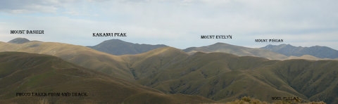
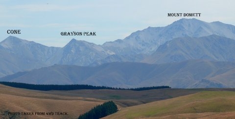
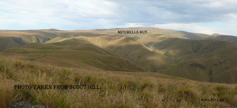
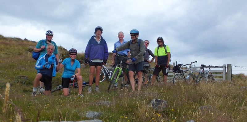
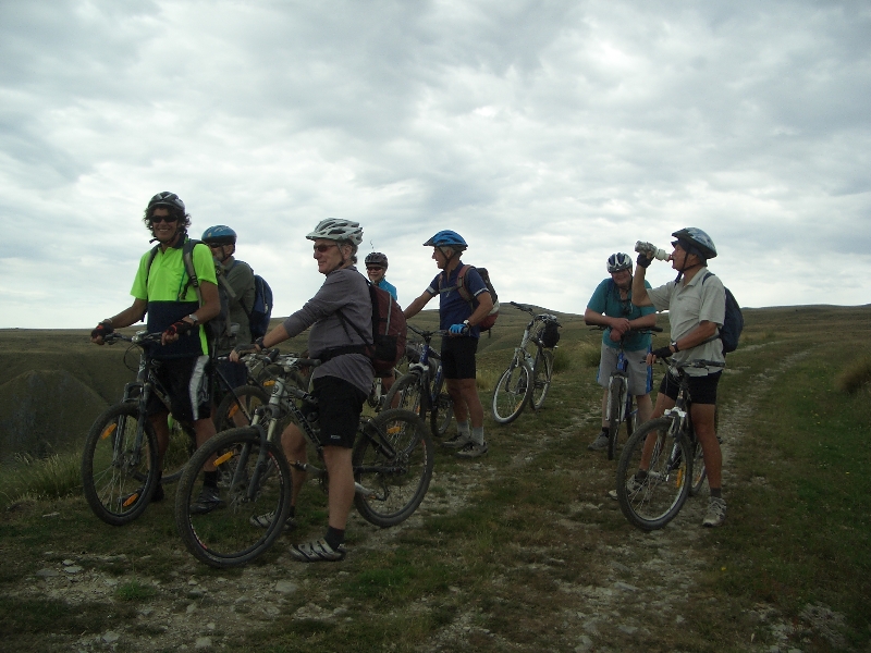
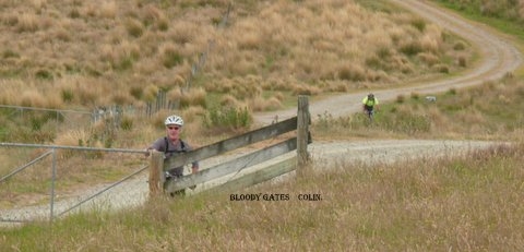
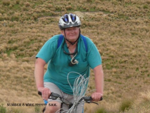
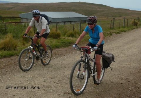
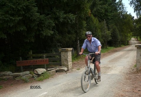
Nine keen riders loaded their bikes onto trailers and travelled to Mt Dasher Station, unloading at Scout Hut. Noel gave instructions as to the route, and the riders left on farm 4 wheel drive tracks to climb up to Mitchell’s Hut. This was a tough climb, with many steep slopes and a lot of height gained in a short distance. All riders made it safely to Mitchell’s Hut, and enjoyed a morning tea break with great views over North Otago. Then it was a faster ride back down to Scout Hut, and we realised the metres we had climbed on the way up to Mitchell’s Hut.
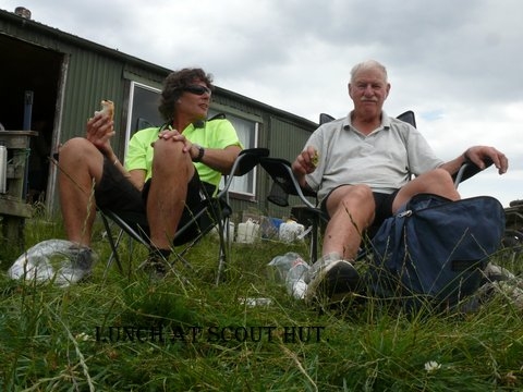
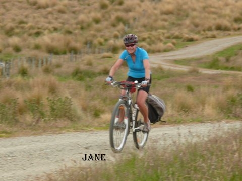
After lunch the riders began the ride down to Clifton Falls, a good downhill but with some stiff climbs to test the legs. The speeds reached required eyes be kept on the road, with stops to admire the views, and for a rest. A steep climb by Mt Dasher Station homestead was the final test before the long sealed downhill to Clifton Falls. All riders made the finish, with no mishaps or punctures.
A great day was enjoyed by the riders, and thanks to Noel and Maurice for driving the vehicles.
Colin, on behalf of Noel, Maurice, Phyllis, Bill, Ross, Graham and Jane, Robbie, Sam and John.