Trip Reports
Waianakarua Reserve to Tabletop, Sunday 4th November 2012
Monday, November 5th, 2012
Spring was certainly in the air this week with the wild swing in weather conditions from hot Norwesters to snow and frosts.
A phone call from John on Sat evening based at Ohau Village reported snow down to lake level. Any trip above the bushline would encounter soft deep snow, character building maybe but from previous experience to be avoided.
Sunday, the sun was out and a fine day was in store for nine people gathered at the town departure point. After a brief disussion a new plan for the day was agreed, to fall back to an old faithful area, the Wainak Reserve.
Leaving from Mt Misery Road we headed down to the river then down stream to the track leading to Table Top. This track is now quite overgrown in places but still negotiable. A small amount of bird life was present which is encouraging to hear and see. A smoko break was taken at the bush edge of Table Top, in the sun sheltered behind the kanuka scrub from the cool southerly.
A short walk across Table Top to the S W corner gave a good view of the location of Staircase Hut and the route to and from it along Staircase Ridge. Returning to the track we visited a hunters shelter before locating a nice spot in the sun for a long lunch break.
The return journey to the rivers Middle Branch was all down hill where the decision to try the old caravan trail back to the road and return to the cars was made. This track does not get much use and is quite steep initially and is becoming overgrown with gorse. A short walk back to the cars on the road completed a nice day out with fine company.
Thanks to: Jac, Gail, Phyllis, Linda, Evelyn, Noel Robbie, Jo, – Maurice.


South Temple to Maitland Track Marking, 27th-28th October 2012
Tuesday, October 23rd, 2012

Due to the weather prospects as well as the avalanche danger in the East Branch of Steele, the advertised trip was cancelled.
However four intrepid explorers set out with tools packed to explore and mark out a route from the South Temple Hut towards the base of Mt Maitland. This trip has been done before by the club but there was always a degree of uncertainty near the beginning of the route. So the aim of this exercise was to remove this element as well as making it much easier for other parties to start this route, which also leads on to Watson Stream and on to the Ahuriri Valley.
The forecast was not great and was offering the full range of options. As it turned out it was not as bad as predicted and the 120km/h winds didn’t eventuate. Most of the heavy rain stayed away with just occasional skiffs coming over the divide.
Saturday morning saw us driving to the Temple car park and walking into the South Temple Hut. The Intentions book indicated that there were 2 hunters in residence, so a couple of tents were carried in for extra sleeping space. An uneventful walk in saw us arrive at about 1.00pm, and after a brew up and late lunch we walked up the valley directly behind the hut.
Following the side stream we eventually came to a fallen tree that allowed a crossing of the stream, and then headed downstream until we came to the second stream which we followed for some time, climbing some steep sections where needed. After some time we came to a spectacular waterfall of some 20 or more meters just where someone had whacked a piece of water pipe into the ground.
This is the stream which drains the valley that we would be working up the next day. Many photos were taken and we then walked back to the hut. The hunters had returned from their wanders too without any spoils as yet. The 2 tents were pitched to gain some space and after the usual food and tale telling, most were in bed by 9.
After a night with a bit of occasional rain, we were up bright and early the next morning and away exploring in some very wet and cold conditions to start with. Once we crossed the very slippery side stream by the hut, the climb up the exposed hill was just right for warming up.
When we got up a bit, a kea was spotted flying then landing and disappearing near the bush edge . This was unusual as none of us recalled having seen any kea in this area. We tried to see where it had gone, but to no avail and the thought was that it could be nesting here.
We climbed a bit further up the hill to the exposed ridge, and then dropped off to a long sidle to push through a route leading into the upper bush part, which eventually gives way above the bush line to the route to Maitland.
There were a few deviations but by and large we maintained a reasonable line which saw us reach the last patch of bush in good time.
Then the work commenced with us walking back exploring the best ways. We had not marked very much yet, and by and large ended quite a bit higher from where we had started earlier that day.
Then having a fairly clear idea of the best lines, we headed back in for the second time marking and snipping with loppers, until we finished back at the top of the bush line for the second time that day.
Then it was back along our marked and snipped route with much more snipping and marking, reinforcing what we were hoping to achieve until we arrived back at our starting point.
Now a large cairn marks the start of what we hope will turn into a track.
The day had been sunny at times but as it got later it got colder, and we were pleased to turn our faces hut wards and get back for hot drinks and dinner.
Much later the hunters returned and they too had had a successful day, having shot a young bull thar.
More yarns and tales were told as the weather gradually got worse. During the night it rained much harder on and off. Morning came with not much wind but the occasional rain turned into more persistent rain which then turned into snow. This followed us all the way out to the car park where it finally came to a halt.
This was an enjoyable and worthwhile weekend where we achieved exactly what we set out to do.
Thanks to Maurice, Phyllis and Noel. Robbie




Silver Peaks, 14-10-12
Tuesday, October 16th, 2012
With the cars parked at the locked barrier, a few showed their skills at kicking a flat rugby ball around which had been dumped along with other rubbish on the side of the road. Not a pretty sight.
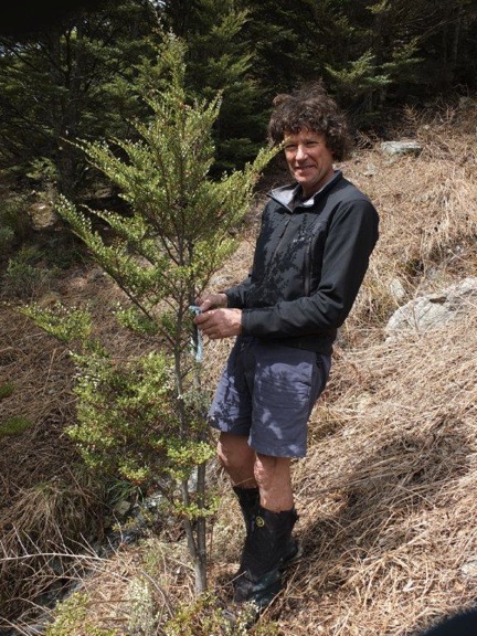
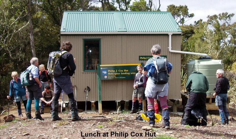
A five kilometre road walk bought us to the start of the Tunnels Track.Underfoot was wet and slippery on the steep descent to the Waikouaiti River South Branch but most were able to stay upright. After the below knee-deep crossing of the river we made our way up the ridge through the trees and bush until we came to the new 4 bunk Philip Cox Memorial Hut where we had No1 lunch at 11:45 am. It is a delightful hut and a fitting memorial to a well-liked man who was known to some of the members of the party.
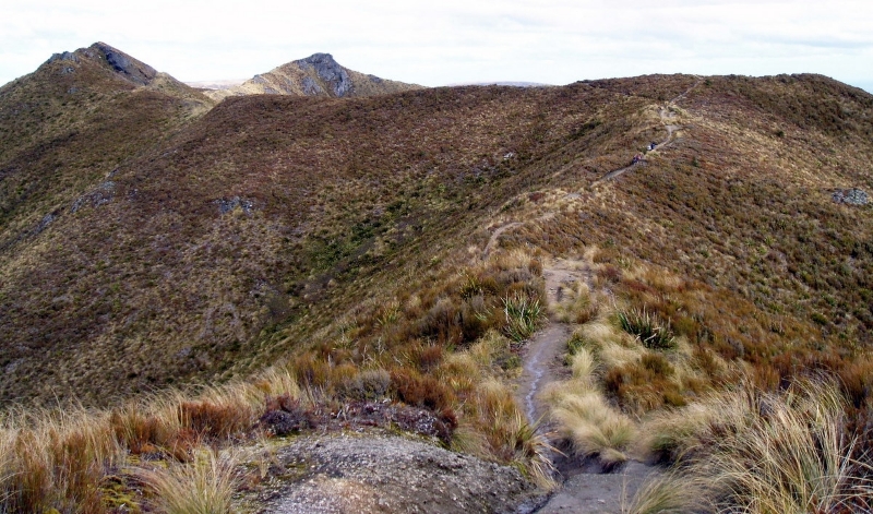
Onwards and upwards, the Yellow Hut site was bypassed as we headed up to the junction of Rocky Ridge and the Gap. Because of the time factor, all selected to walk along Rocky Ridge so didn’t venture over to The Gap. Conditions were cool and windy but clear on the ridge where at times we became separated as we followed the vague tracks over scrubby undulating ground while the keen photographers had plenty of opportunities to get some scenic shots.
The Hermit’s cave was sighted off track but time didn’t allow us to visit it. Jubilee Hut could also be seen in the valley.
Lunch No2 was taken in the tussocks out of the wind. Later after leaving the ridge, we passed by Pulpit Rock and on towards the Green Hut site for a quick rest stop and snack. The wind had calmed down considerably by now.
At about 6pm, thirteen trampers arrived back at the cars after more than an eight hour circuit in the Silver Peaks
Thanks to Browyn, Robbie, Noel, Linda, Ross, Bill, Mark, Colan, Els, Dave, Wendy and Maurice for the company on a great trip in a great place.
Phyllis


Mt Stalker
Monday, October 8th, 2012

Thanks to – Robbie, Els, Uwe, Sylvia Maurice, Phyllis, Steve, Ann, Sam, Bill, Linda, Colin
and me Neville
An Unauthorized Version
News has come through of a remarkable first ascent of Mt Stalker in a remote mountain range in the South Island of New Zealand. The expedition group included 3 New Zealanders and 2 English climbers and the successful ascent was via the south face , previously thought technically impossible . The expedition was lead by Maurice Gray and the Verhoef express and later the group joined 6 others in an equally arduous circumnavigation of the area . The day was marked by a complete absence of what has become know in elite mountaineering circles as the Leidecker view.
Notices have been placed in the Times of London , The Mail of Oamaru and the Saint- Emilion gazette. Congratulatory telegrams have been sent by the Governor General of New Zealand and the Queen ..


Orienteering With Weston School
Friday, September 21st, 2012
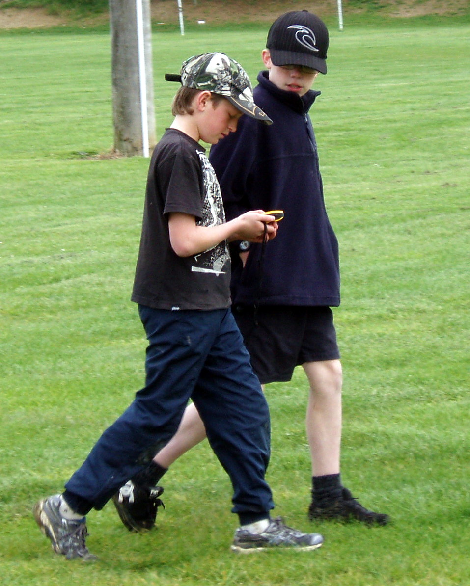
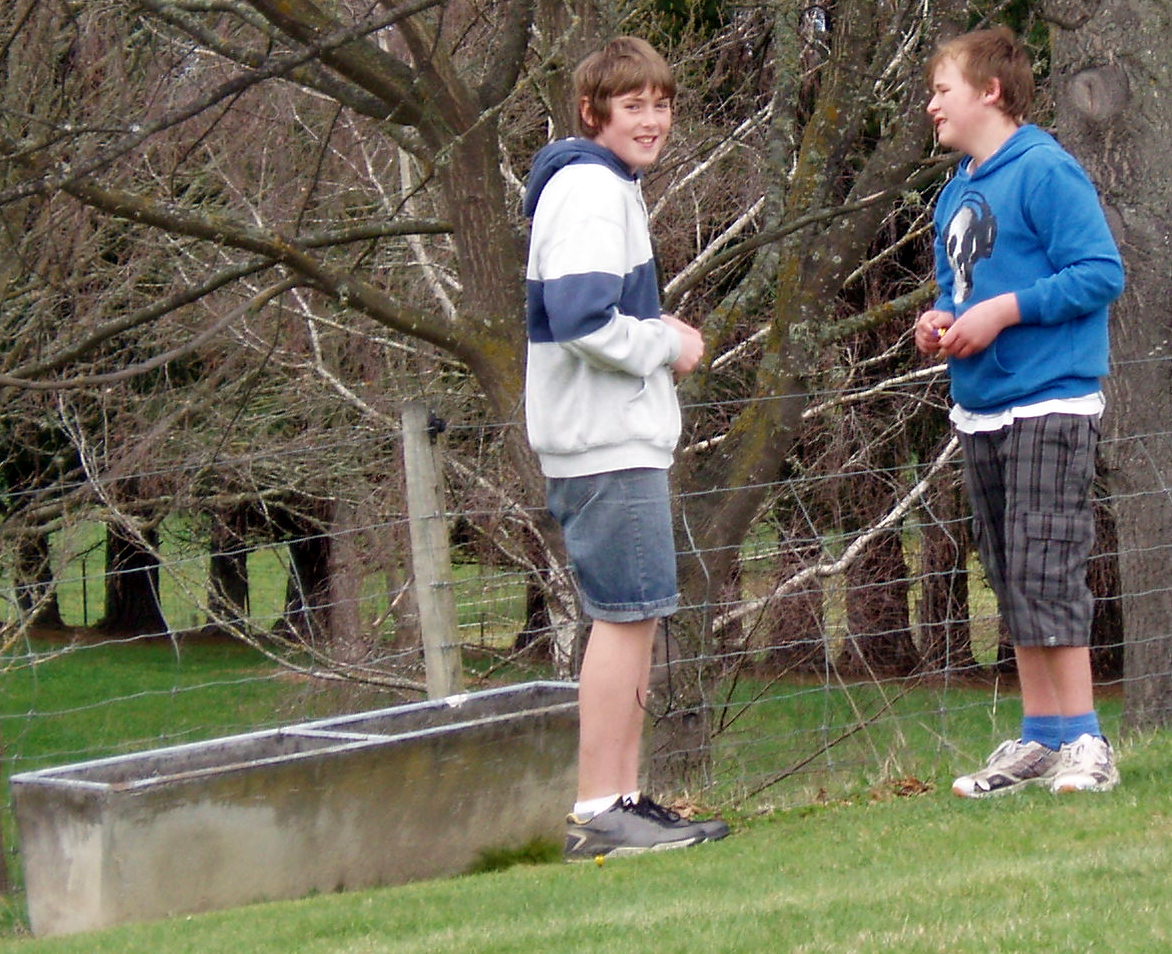
Firstly, Maurice explained how to find North with the compass and then in pairs and with a compass each they did a little exercise on Weston Park. Once the four GPS’s were distributed to each couple, they were eager to put them into use. A course of ten way points had been set around the school grounds and the Park, with some lollies and chocolate bars hidden at two of them. The ten waypoints had been loaded into the GPS’s and with some instruction, the teams took off in various directions.By 3pm all teams had arrived back to “ homebase” successfully finding the waypoints and hidden treasures. Ross then handed out some maps he had printed off for them to do a little excercise at home.
Thanks to Stacey, Nakayla, Alex, Tony, Michael W, Michael A, Dillion D, and Dillion H for taking part and showing so much enthusiasm in the exercise.
Phyllis.