

Uncategorized
SouthTemple Side Stream Route Marking May7&8 2016
Monday, May 9th, 2016
Upper South Temple, discussion previous day’s activity
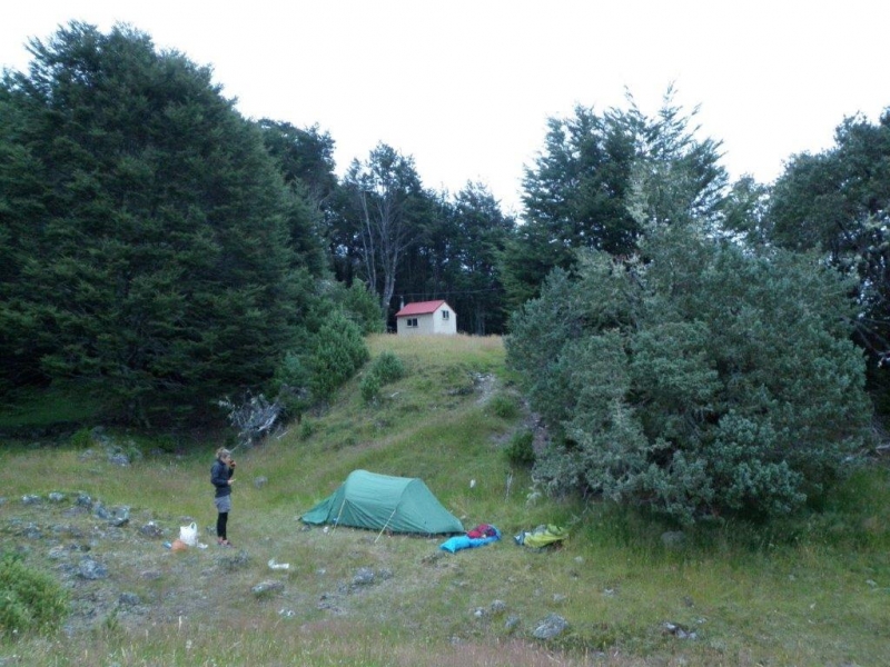
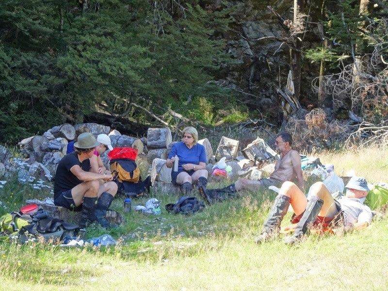
Seven arrived at the South Temple in 2 groups. Group 1 left Weston at 1pm Friday and Group 2 left town at 6pm. Group 1 walked into the South Temple Hut and arrive there just on dark and Group 2 camped the night at the Temple Shelter. Group 2 split further into Group 2A and Group 2B, Group A heading away at first light and arriving at the South Temple Hut at 9ish. Group 2B arriving there some time later. After pitching tents and refreshments, the now mostly combined party (minus 2B) set off up the unnamed branch that ends at the Hut, climbing steeply to reach the top of the tree-line and finding the large cairn put there on a previous occasion 4 years ago when we were last there marking out the same route. As it happened, the old markers were not too bad to locate even though they had faded badly to a silvery grey colour. Using the old markers we were able to tie new orange and pink plastic ribbon and reestablish this as a pretty good route to allow access into the upper basin of this stream which eventually leads around Mt Maitland and Watson Stream and the Ahuriri. Job done and we sat on our laurels in the sun on the hill opposite the Hut at about the bush line where some were so relaxed that they snored! Next day most were up and rearing to go for a walk up the South Temple. Group 2B remained for hut cleaning and other duties. We walked up the valley to where the track splits about 2 hours up and enjoyed the alpine atmosphere and the very mild weather. A return to the hut saw Group 2B departing for the carpark and the rest having lunch and packing up. The return to the carpark was well synchronised with everyone arriving within 5 minutes thereby minimising the exposure to the vicious squadrons descending upon us, some even hiding in the vehicle for a munch on the return journey. A good trip with good company and a good deed done. Thanks to John, Maurice and Phyllis, Jen, Karyl and Nev. Robbie


Grayson Trip 28-2-16
Tuesday, March 15th, 2016
Grayson Trip 28-2-16
An early start of 7am did not deter what turned out to be 13 rather than the 8 planned bods heading towards Grayson; after meeting at Kakanui, Palmerston [Tim, Rodney and Jane] and finally Ken at the beginning of the 4WD track into the Oteake Conservation Park past the Buster Diggings. It was a long drive until we finally stopped around 10.45 where Tim had sussed out this new route to Grayson.
Following a track towards Grayson, then a fence line towards a saddle, we then ascended Grayson relatively quickly and easily with Tim taking around 1 hour 40. Eventually we all followed except for Russell who chose to follow a water race rather than the ascent.
After nourishing our bodies at the top, 2 groups formed.
7 followed Tim on a long descent straight down to the stream on the NW side. From there we followed the steam for some distance in Green Gully, before Tim turned us up over a low ridge to Green Hut- the first of 2 old gold-miners huts. Another up and down ridges route continued over to Brown Hut hidden amongst diggings. Then it was a long tiring trudge back uphill to the vehicles to complete the 19.2km circuit around 6.00
The other group took a more leisurely shorter route back. Descending the same way they ascended to the saddle, then following a water race, before finding their way around the contours back to the track above the vehicles also arriving about 6.
A snack at Palmerston was appreciated, eventually home around 10.00. A very long day but all satisfied with what each had achieved.
A big thanks to Tim for his recce into the area, and to those who took their 4WD’s without which this trip could not be achieved.
Tim, Rodney, Jane M, John, Kate, Pete, Linda, Noel, Lewis, Russell, Ross, Ken,and Jane


Ewe Range
Thursday, February 25th, 2016
![001_(640x427)[1]](http://www.notmc.org.nz/wp-content/uploads/2016/02/001_640x4271.jpg) 14th February 2016
14th February 2016
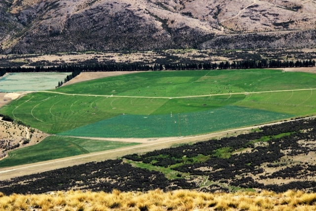
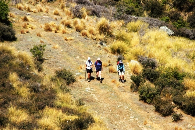
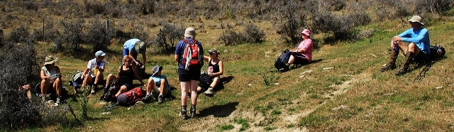
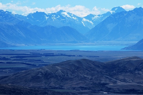
With a few car loads we headed towards Omarama, picking up Tim on the way. We arrived at the end of Broken Hut Road where we started to follow the poled route of the Ewe Range Track. Initially this is private farm land and then at the top, leads on to the Oteake Conservation Area. We anticipated a hot day and we certainly got that as we ascended up a four wheel drive track. We stopped for lunch at a rocky outcrop at 1300m with fabulous views of the Ahuriri Valley, Lake Ohau and Lake Pukaki. We continued on and shortly came to the end of the track. This track could be continued so as to join with an Omarama saddle trip. The track descended the same way and for some it was a quick descent – trying to catch Linda to no avail. With all water bottles empty, we had a quick stop at Omarama for a cold drink. Thanks for the company. Many thanks to Noel for the fantastic photos.
Linda, Anna, Kate, Peter, Jac, Chris, Karyl, Jane, Noel, Tim, Ros and Bess

Dodger Hut
Saturday, February 20th, 2016
![01_Entering_the_Hopkins_Valley[1]](http://www.notmc.org.nz/wp-content/uploads/2016/02/01_Entering_the_Hopkins_Valley1-300x225.jpg) Friday 5 – Monday 8 February 2016
Friday 5 – Monday 8 February 2016
![01_Entering_the_Hopkins_Valley[1]](http://www.notmc.org.nz/wp-content/uploads/2016/02/01_Entering_the_Hopkins_Valley1.jpg)
Ohau – it is a place that beckons from time to time. Nowadays a collection of flash houses boasting prime views up the Hopkins and Dobson Valleys guards the entrance to this beautiful area. The crown to the north from here is Aoraki-Mt Cook.
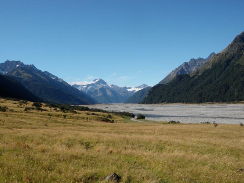
Not far past the village the road turns to shingle. We follow the lake, rippled by a light breeze. Shingle screes dive steeply from tussock-clad tops. Behind are the more imposing peaks: sharp, craggy, slabbed, mostly greywacke. Matagouri and rosehip carelessly clothe the “dry”. Merino sheep, heads bowed under the heat, gather in small groups discussing their futures. The land struggles, as it always has. (This is captured splendidly in the title of Eileen McMillan’s massive local history: “Frugal country and Hard on the Boots”.) Our track is worn and dusty. We meander ever closer to the valley proper. There are five of us – Robbie, Bess, Kate, Jane and Graham in Robbie’s 4wd, travelling together like sardines in a tin with five full weekend packs jammed in behind us. Jane knits; we banter; mostly we are just happy to be on our way. The weather is promising and so is the company. We arrive at Monument Hut just after 8pm on Friday, 196km from Oamaru. There we meet Emily and John, who have walked in from the Ram Hill car park earlier.
Our first night is spent at Monument: tents for most, the hut for some: a clear starry night, magical as ever. A lone, distant morepork greets us to the valley. The passing cavalcade of 4wds through the night reminds us of the civilisation we had hoped to leave behind us.
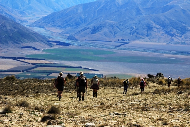
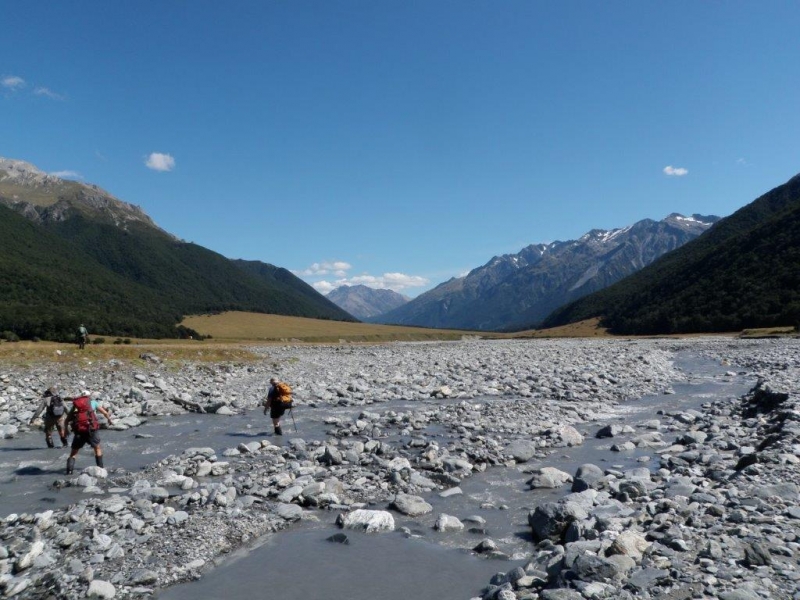
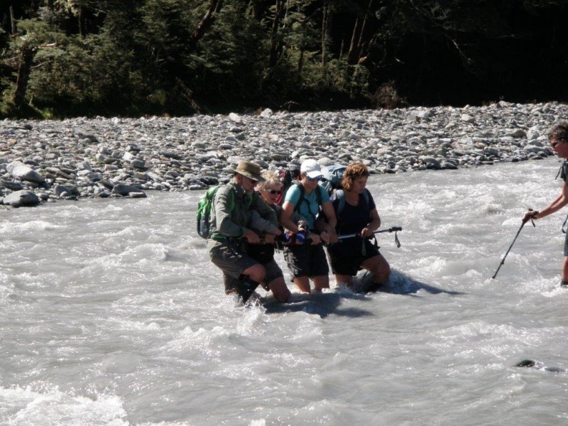
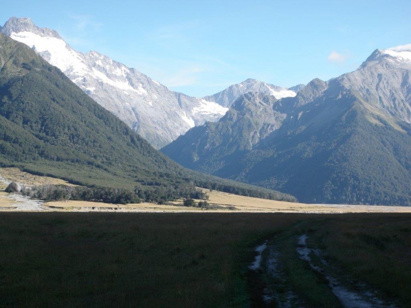
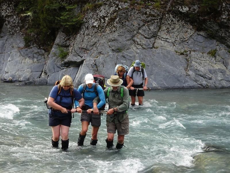
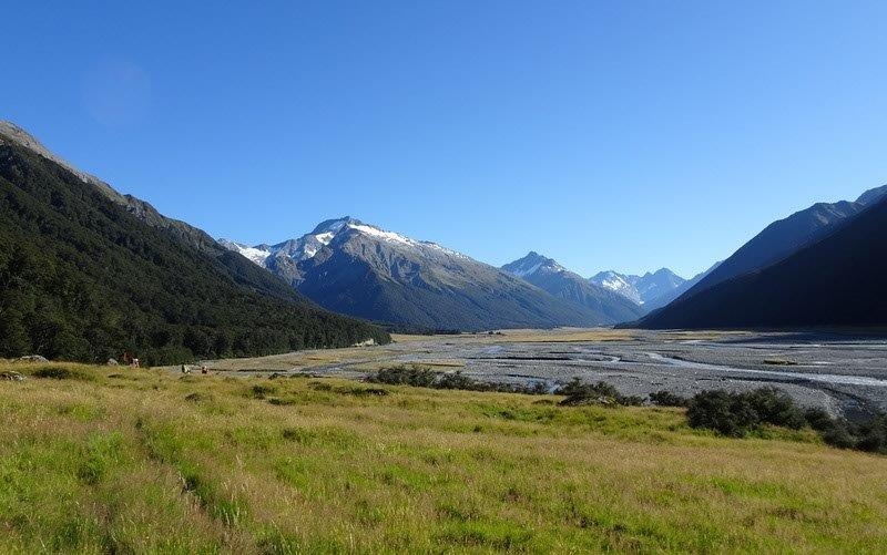
Saturday morning, up with the sun and on the way at 7.30, we travel over grassy river flats, crossing braids of the Hopkins River. Some caution is called for; we cross in twos and threes using the pole method. The valley here is wide, flanked on one side by the Dasler Pinnacles in the Neumann Range and on the other by the mountains of the main divide. There are cattle grazing. Loud bellows echo around the distant valleys as bulls call their harems to order. Canada geese graze in small flocks. They honk and talk to each other, searching out the best bits on the banks. Delicate terns flit gently by, peeking at the world through masked faces. We head up the valley on a perfect day – clear sky, bright sun and (unusually) no wind.
![18_Up_the_Elcho[1]](http://www.notmc.org.nz/wp-content/uploads/2016/02/18_Up_the_Elcho1.jpg)
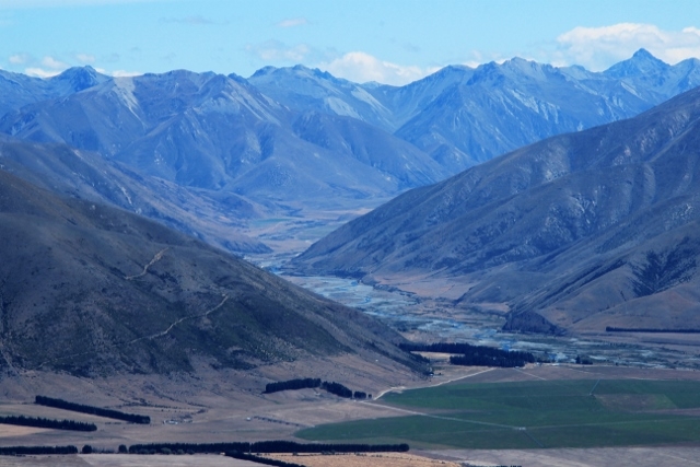
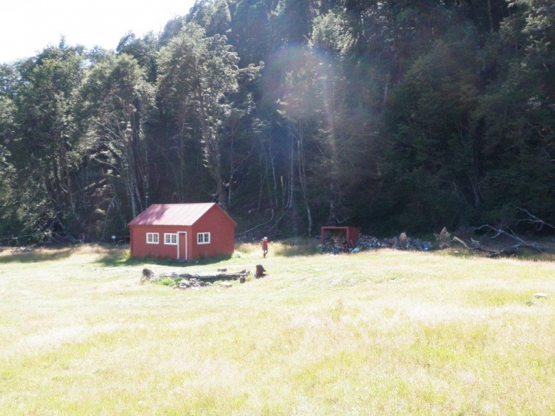
Lunch is devoured on a grassy bank under the beech trees in front of the Elcho Hut. We cross the Elcho for a look at the Apricot (Culler) Hut. The heat has arrived. Apricot Hut is perfectly parked at the bottom of a forest-ringed grassy meadow, hidden from the valley floor. Ensconced currently are hunters. How do we know? The rum bottle is a dead giveaway! Behatted and sunscreened we head onwards across wide flats and old shingle fans clothed in lush browntop and sweet vernal pasture between the bush-clad mountains. As we get close to the Dodger Hut the valley bottom is still 1 km wide and is supporting a substantial herd of Hereford cows and calves (and bulls). We avoid the swing bridge and opt to cross the river and walk the wide tussock fan. We should have kept lower on the fan, but we soon find the Dodger Hut, empty and inviting, reaching it hot and thirsty after a seven hour tramp, albeit with stops and excursions. Tents are set up, but thoughts of exploring the upper valley are replaced by cups of tea – soup – popcorn – snacks – mattresses pulled out of the hut in the shade of the beech trees –a dip in the creek – glassing with binoculars – joking a bit – telling a few lies. Behind us the pip-pip of tomtits. Down on the riverbed, bulls flail dust demonstrating their power. And then – arrival of children – skylarking, polite, chasing through the bush, swinging branches. A family holiday – two vehicles loaded with supplies: “I suppose we are your worst nightmare”. But no; they offered us light entertainment. After tea, they roast marshmallows around a small fire and retire quietly to bed. Tents pitched, bellies full, washed and refreshed, we have time to reflect as the sun goes down: it has been a wonderful day, plodding to our destination. We gather up our aches and pains and tuck ourselves in for an early night.
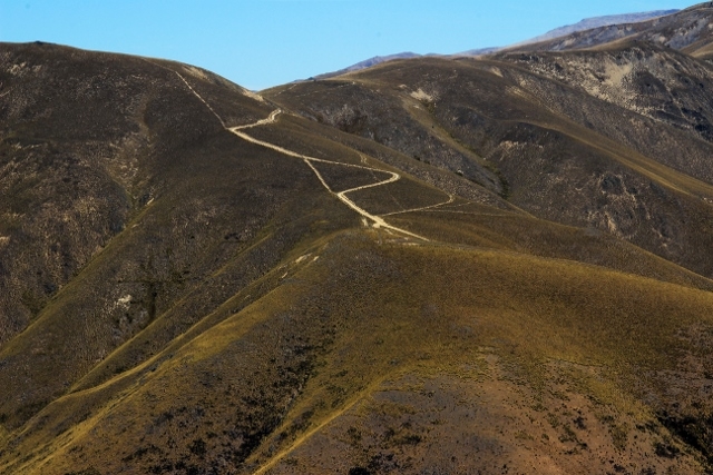
Sunday dawned fine, the sun being welcomed by the Hereford County Choir in chorus. Today is Thompson Stream – a trip of exploration for all of us. Thompson Stream lies opposite the Dodger, so an early morning river crossing through milky glacier-fed waters is inevitable. Once across the main river, we look for the way into the Thompson. We have conflicting advice: some club members had said the track went in on the stream’s true right, but other written accounts suggested the true left. Both were right! We find the signposted entrance to the track below where the stream meets the Hopkins Valley but, after a short walk through the bush we emerge on the Thompson Stream right bank to cross to the true left and start the steep 250 metre climb up a rough but clearly marked bush track. After about an hour the track levels out, crossing a couple of grassy clearings with a fern-filled gully in between. Then we drop steeply back to the creek, around two hours after starting the climb.
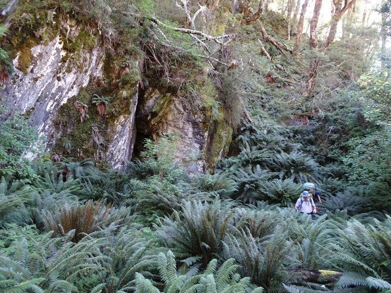
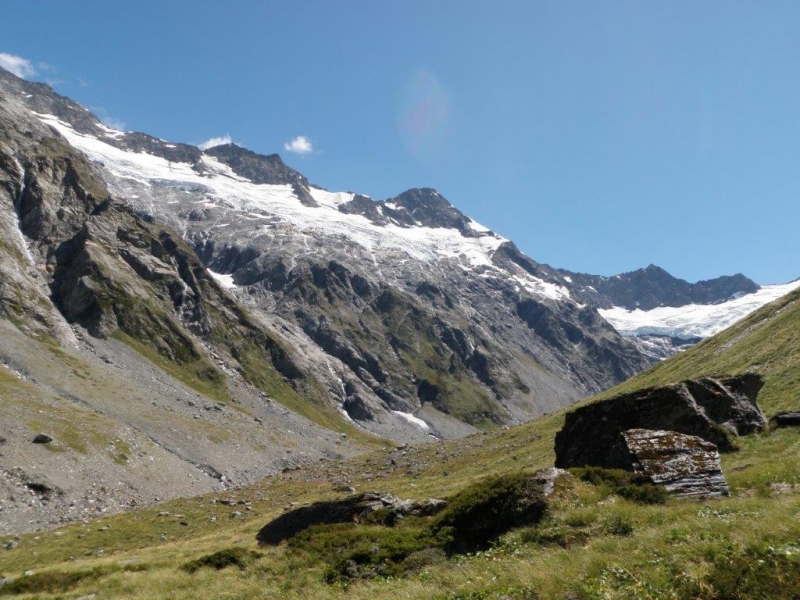
The valley is stunning. The glacial blue water of the stream dodges and swirls its way swiftly through the massive boulders which crowd the valley bottom, beneath steep scree and scrub covered ![07a_Crossing_the_Thompson[1]](http://www.notmc.org.nz/wp-content/uploads/2016/02/07a_Crossing_the_Thompson1.jpg) sides ringed at the top by the semi-circular Foster Glacier which, in turn, is crowned by a series of main-divide peaks from the 2645m Mt Ward in the south to the 2538m Mt Williams to the north. Pools beckon between the torrents – but they are freezing cold. The sub-alpine vegetation is quite different from the mountain beech-celery pine association in the main valley. Hoheria dominates with Dracophyllum; the Ranunculus and Celmisia have finished flowering, but a white-flowered NZ broom (Carmichaelia) is in full bloom and its delicate scent permeates the atmosphere. Graham spies a greenhood orchid (Pterostylis)
sides ringed at the top by the semi-circular Foster Glacier which, in turn, is crowned by a series of main-divide peaks from the 2645m Mt Ward in the south to the 2538m Mt Williams to the north. Pools beckon between the torrents – but they are freezing cold. The sub-alpine vegetation is quite different from the mountain beech-celery pine association in the main valley. Hoheria dominates with Dracophyllum; the Ranunculus and Celmisia have finished flowering, but a white-flowered NZ broom (Carmichaelia) is in full bloom and its delicate scent permeates the atmosphere. Graham spies a greenhood orchid (Pterostylis)
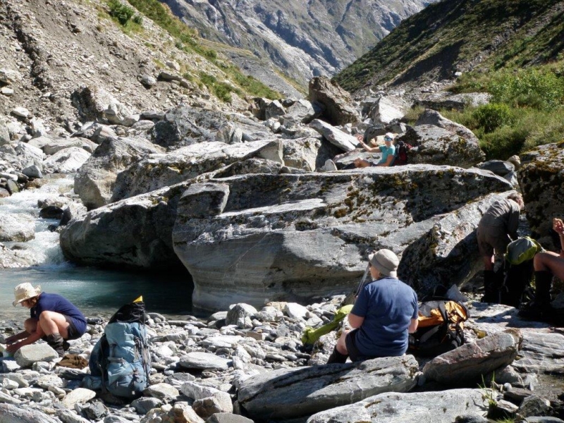
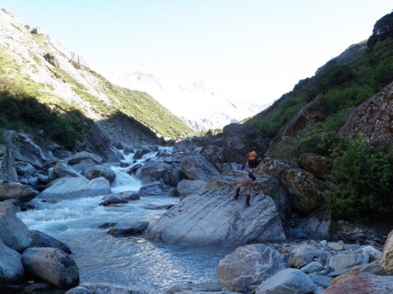
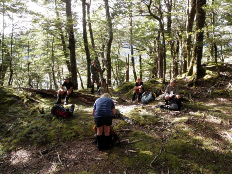
We boulder- bash up the valley, sometimes clambering along the edge, sometimes in the water or climbing up to avoid a bluff. We find a lunch spot on a rocky beach beside the stream. After lunch we leave our gear and set out to explore further up the stream, looking for the elusive last corner which would reveal all. But around every corner is … another corner. An hour of this brings us to turn-around time. We get our best view from a rock perched high on the alpine meadows; cameras snap to capture the encircling rocky peaks and the glaciers hanging in wait. The bare rock is scored and worn by ice: grey and smooth. Moraine rock fills the valley floor; surrounding scree feeds in even more rock. The meadow is carpeted with “lily” pad leaves and silver swords of Celmisia. It is one of those magical “sun on the cheeks” days. We will go home happy.
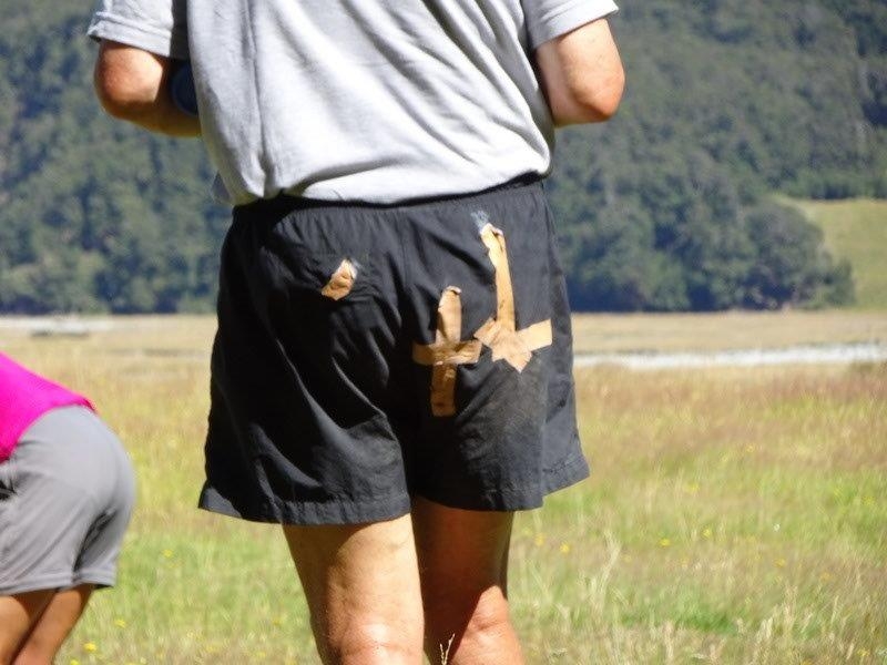
Our return journey is quieter. Tired but content, we slowly retrace our steps over the bush-clad knob to the stream mouth. This time, we keep to the true left until we emerge into the main valley, so we can cross the Hopkins where it is smaller. Someone nurses a rolled ankle, another ripped pants; sore knees are common; but none of this matters much. A swim for some and the day is complete as we wend our way back to the hut. Snacks, dinner and another warm but quiet night.
![16b_The_happy_gang[1]](http://www.notmc.org.nz/wp-content/uploads/2016/02/16b_The_happy_gang1.jpg)
Monday sunrise is greeted by the Canada goose ensemble, the Hereford chorus having headed up the valley. We arise bright and early (or at least early) to pack up and get on the trail home. We stick to the true left of the Hopkins for the return journey, partly for variation but also because it offers more shade from the blazing sun. The going alternates between grassy meadow and rocky riverbed, but is straightforward. We pause for a break at the bottom of the Dasler Pinnacles track, and give away the option of a side trip up to the Dasler Biv. So we continue downstream to stop for a long and leisurely lunch at the 100 year-old Red Hut, where we bone up on the hut’s history as part of a misguided plan to establish a tourist route to Mt Cook to rival the Milford Track. We cross several streams of the braided Hopkins and are back to Monument Hut by early afternoon.
Five then head back by 4wd to Oamaru and the other two on foot to Ohau. For three days we had left the busy world behind. We had laughed together and worked together as a team. Richer for the experience…..we think so. We will be back.
Bess, Emily, Graham, Jane, Robbie, John, and Kate.




Awakino Saddle, Black Daisies
Monday, January 25th, 2016
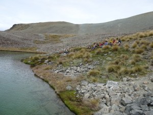
Lunch at the tarn
24th January 2016
Sunday 24th proved to be a fine interlude in an otherwise unsettled period of easterly weather. It was pleasantly mild and, although the sky darkened in the afternoon, the rain held off and a strong easterly breeze came and went. Eight trampers travelled in two 4WDs from Oamaru, including five club members (Linda, Neville, Jane, Ross and John), one prospective member (Hugh), Zuni Steer from Forest and Bird, and Hugh Wood, NZ Alpine Club member and acknowledged expert on the plants of the St Marys Range. They met another four in Kurow: Club members Helen and Rodney, OTMC member Janet and her son Russell. Three vehicles were driven in to the carpark at the bottom of the Awakino ski field road (81km from Oamaru) where the Kurow four transferred to the two 4WDs which took all twelve the 4km up to park by the ski huts.
Booted up, the twelve headed up the 4WD track to the saddle at about 1700m on the main St Marys Range ridge. There, the party split. One (Zuni) stayed to fossick around the saddle and lower part of the ridge leading to Te Kohurau. Helen and Rodney headed north-west up the main ridge to Rocky Top (1942m) whence they turned south down into the valley towards the tarn. The main party of nine followed Hugh Wood on a journey of exploration west across the upper reaches of the valley leading down to Hut Creek. On the way they were introduced to an amazing variety of plant associations uniquely adapted to the differing environments in an area which, to the uneducated eye, looked like barren scree.
The tarn (near point 1616) was reached in time for lunch and the main party was joined by Helen and Rodney. After lunch the main party, now eleven, headed back to the main ridge, but on a higher line than the outward trip. At the saddle, all twelve climbed the lower reaches of the route to Te Kohurau to stop on a shoulder and explore the vegetation in a wetland area there. Then it was time to head down, first to the saddle and then to the vehicles at the ski huts for the homeward journey via the compulsory ice-cream stop in Kurow.
This was a tramp with a difference. For most of us, who are accustomed to enjoying the big picture through which we are tramping, it was a major experience in learning that that big picture is made up of a myriad of varied and fascinating small pictures occupying the many micro-environments. Many thanks to Hugh Wood for so enthusiastically sharing his knowledge.
John.


