Uncategorized
Mt. St. Bathans
Friday, February 22nd, 2013
Sat 16th/Sun 17th February 2013
Six of us set out in two vehicles at 9am on a sunny Saturday morning. Uwe, who was supposed to co-lead with Brent opted to stay home after coming down with a cold on Thursday.
We made our way to St. Bathan’s, where we had a coffee (most important) at the historic Vulcan Hotel and Jac a play with the black lab who enjoyed a game of soccer. We then walked around the well laid out track along the “Blue Lake” or formerly known “Glory Hole”, where at its high time gold was sluiced.
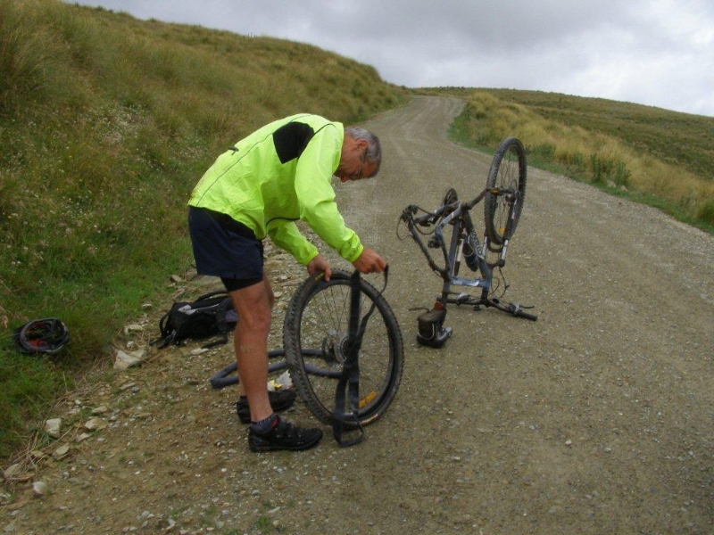
We carried on towards the Manuherikia River and after about 5km of challenging (for me as I haven’t done much of it) 4 Wheel driving with several river crossings we arrived at our destination of Boundary Creek Hut near the East Branch of the Manuherikia. The DOC hut is a tidy 8 bunk hut with a fire place and a very small creek behind. We organised our sleeping arrangements, some of us put up a tent, 3 slept in the hut. Then we set off on foot to explore Mutton Creek track, a 4 wheel drive track over a saddle just across the river. We enjoyed pleasant views as we also tried to figure out a way up the ridge to Mt. St. Bathans, our object for the next day.
After dinner and with an early rise in mind we headed to bed with the chooks (not that there were any).
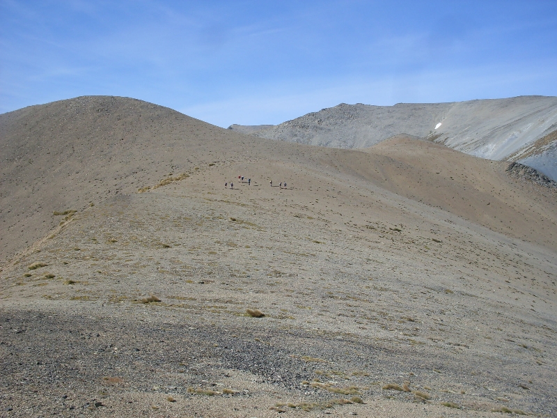
The alarm went off at 5.30am, all packed up and ready to go we started out just before 7 in low cloud. We followed a 4 wheel track up the ridge for about two hours, and at a height of about 1600m the cloud opened up and the views just got better and better. It was like diving into the other direction, another world up there! In bright sunshine and a bit of a breeze we carried on upwards. As it turned out a boundary fence on the ridgeline had been taken out by big machines, evidence being holes all along the upper track, fence posts and loose wire and ongoing 4 wheel drive track nearly up to the top. With rocks and some interesting rock formations this part looked like the surface of the moon! We arrived at the top after 4.5hrs of walking, just right for lunch!
The 360 deg view was amazing: the coast to the east, Mt. Aspiring to the south west, Mt. Cook to the north west. and the Kakanui Ranges to the north east. Time flew, we spent a whole hour on the summit of Mt. St. Bathan’s at 2086m, taking in the views. Also the cloud had pretty much disappeared in the valleys. The only flaw being piles of rubble including seven black car batteries and wood leftover from a triangle trig.
The way down the same track took only about 2.5hrs, a distance of about 9.5km, and descending roughly 1,300 meters, so we arrived back at the hut mid afternoon. Not long after that we drove back – more 4WD road – via Falls Dam and the settlement of small cribs. The drive took a lot longer than was thought and by the time we got to Palmerston it was 7pm and everyone was hungry. Fish’n Chips filled the gap and there was enough time for Graham to catch the bus to Dunedin for work the next morning.
The rest of us carried on back home, tired, but pleased to have had a great time.
Sylvia for Brent , Jac, Matt, Graham and Jane.

Mt. Dasher Bike Ride, 10th February 2013
Friday, February 15th, 2013
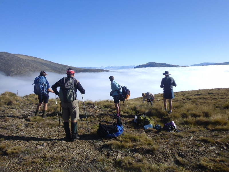
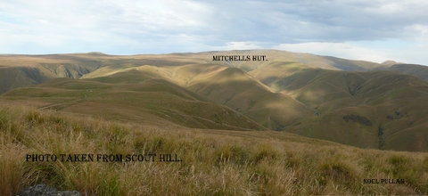
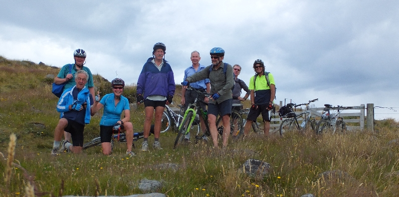
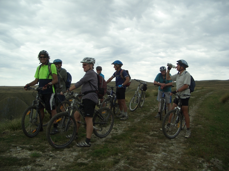
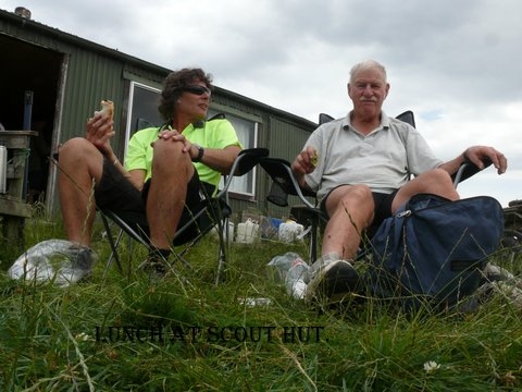
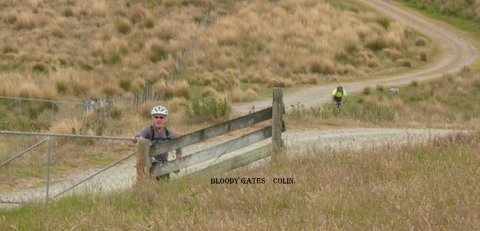
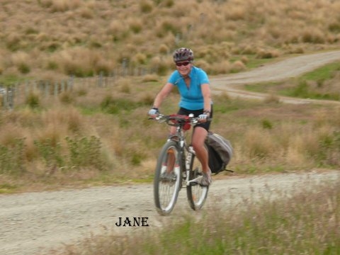
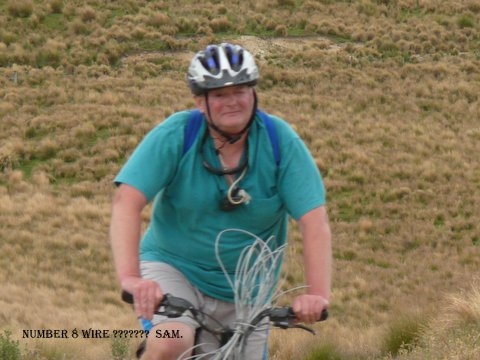
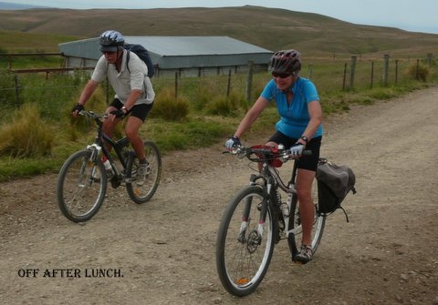
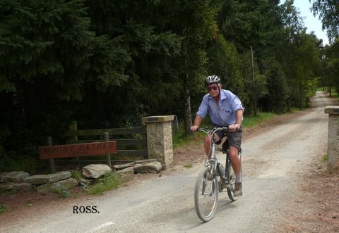
Nine keen riders loaded their bikes onto trailers and travelled to Mt Dasher Station, unloading at Scout Hut. Noel gave instructions as to the route, and the riders left on farm 4 wheel drive tracks to climb up to Mitchell’s Hut. This was a tough climb, with many steep slopes and a lot of height gained in a short distance. All riders made it safely to Mitchell’s Hut, and enjoyed a morning tea break with great views over North Otago. Then it was a faster ride back down to Scout Hut, and we realised the metres we had climbed on the way up to Mitchell’s Hut.
After lunch the riders began the ride down to Clifton Falls, a good downhill but with some stiff climbs to test the legs. The speeds reached required eyes be kept on the road, with stops to admire the views, and for a rest. A steep climb by Mt Dasher Station homestead was the final test before the long sealed downhill to Clifton Falls. All riders made the finish, with no mishaps or punctures.
A great day was enjoyed by the riders, and thanks to Noel and Maurice for driving the vehicles.
Colin, on behalf of Noel, Maurice, Phyllis, Bill, Ross, Graham and Jane, Robbie, Sam and John.








Mt. Domett, 19th – 20th January 2013
Tuesday, February 12th, 2013
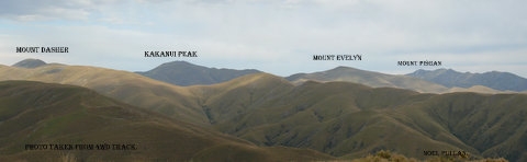
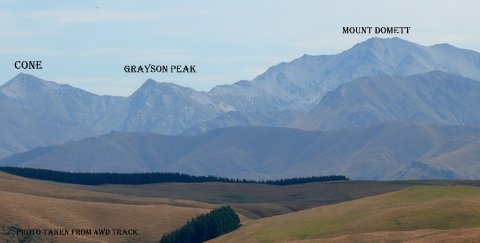
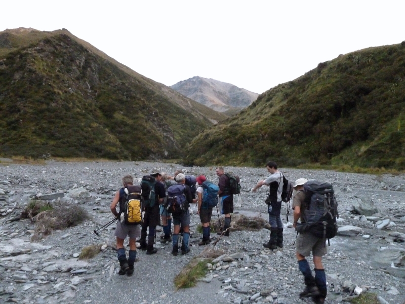
It has been many years since the club has been to Domett from Chinaman’s hut, so it wasn’t surprising to have a group numbering thirteen attempting what used to be the old favourite.
In keeping with this summer’s weather pattern, the forecast was not perfect. However, it made good sense to at least be poised at Chinaman’s hut to give ourselves a chance the next day.
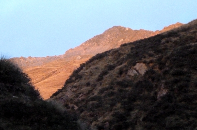
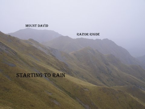
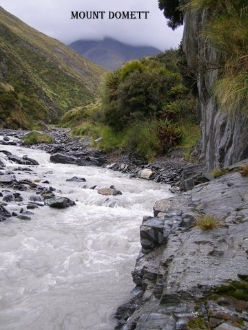
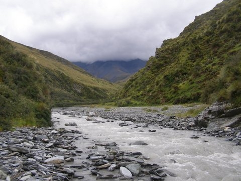
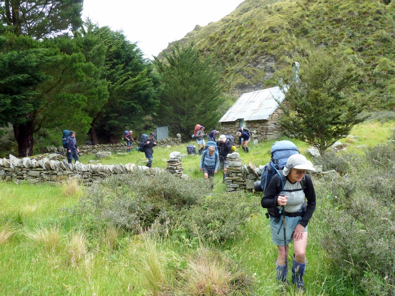
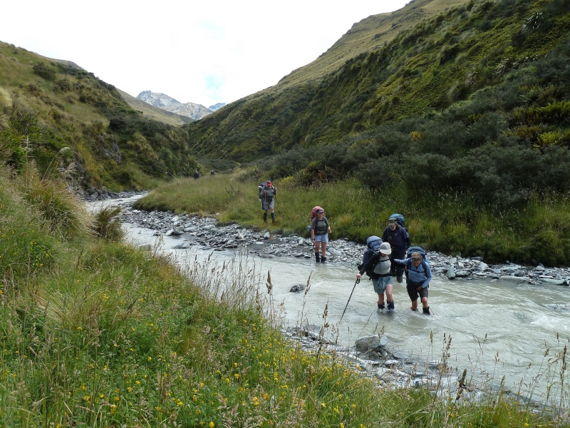
Just the casual walk up the gorge to the hut in perfect conditions, is a bonus, especially for those who had not been to this beautiful place before. One slightly unique feature of this particular trip is that in spite of being in quite a narrow gorge, we get a remarkably good view of almost the entire route that we will be following tomorrow as we approach the mountain. For some, this raises adrenalin levels. For others it may be spoiling their day somewhat as the size of the task ahead becomes more apparent as we get closer.
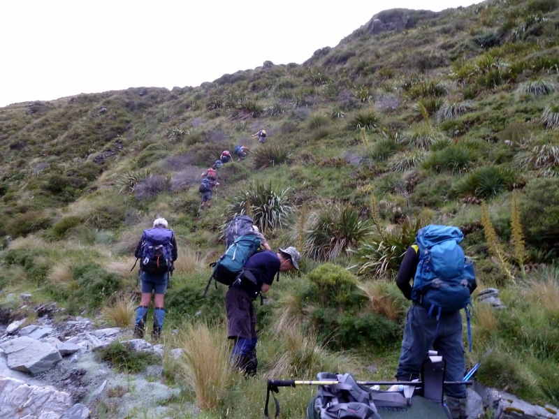
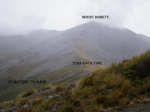
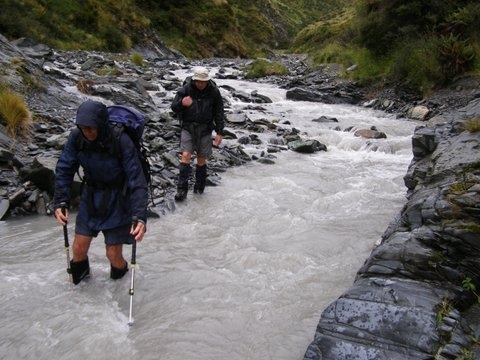
Total diligence Sunday morning with everyone on the way by 6am and the weather ‘holding’. By 7.15am the easy stuff was completed and the climbing began. Unfortunately, the ‘holding’ , mentioned above, turned out to be holding rain which gradually wasn’t being held any longer. Persevere we did for another hour or so, but with the rain becoming heavier, temperatures dropping and the cloud lowering, common sense prevailed. Back to the hut. Obvious disappointment by some, but also a feeling of relief by others who were caught out somewhat by the severity of the climb.
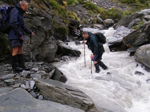
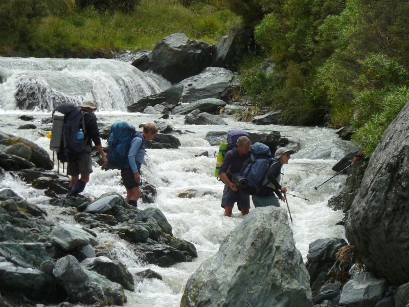
The wander back to the hut became a very strung out affair and while a brew was being enjoyed someone noted we were one person short. “Not to worry. He will have walked right past the hut as many others have done in the past”. So we pick up his sleeping bag etc and head off down valley expecting to find him returning after he had realised he’d gone too far. But no sign of him, all the way back to the cars . With the creek running a lot higher than it was yesterday there was suddenly a very different atmosphere as a small group of the most experienced trampers headed back upstream. The search was short-lived however, as the missing tramper was met just five minutes later coming towards us. He had apparently missed the hut and turned around just as we had predicted but missed the hut a second time just before we set out down the stream.
On reaching the cars, a very worthwhile debriefing was held to identify all the aspects of the entire trip that could be improved not only to do with losing a tramper for a while, but every other aspect of the trip as well. It was a valuable discussion.
Ironically, the mountain was laughing at us by this time, bathing in sunshine. However, it will be there for another day.

Mt. Kohurau, 2010m. Sunday 27th January 2013
Sunday, February 3rd, 2013
Fifteen keen trampers met at the car park on a fine and sunny morning at 7am. Sorry about the mix up with the start time, but I chose the early time so we could get going before the day got too hot as we had a steep climb.
On this trip we had five new trampers with us, two from Dunedin, one from Timaru and two from Oamaru who are looking at joining the club. We then headed up to the bottom car park of the Awakino Ski field which is inland from Kurow.
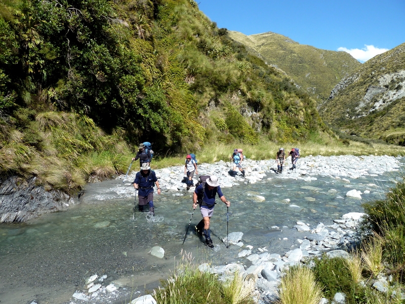
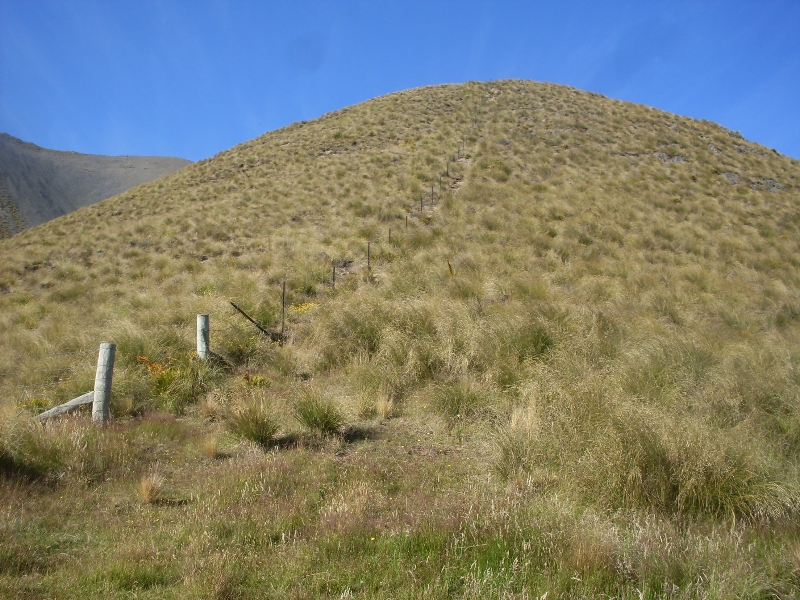
At the car park we decided to split into two groups, with one group of five going up the Ski field road. The rest of us started heading north/east along a 4WD track slightly climbing to we came to a fence. From here it was all up hill, first over tussocks, and as we climbed higher, onto the scree and rock.
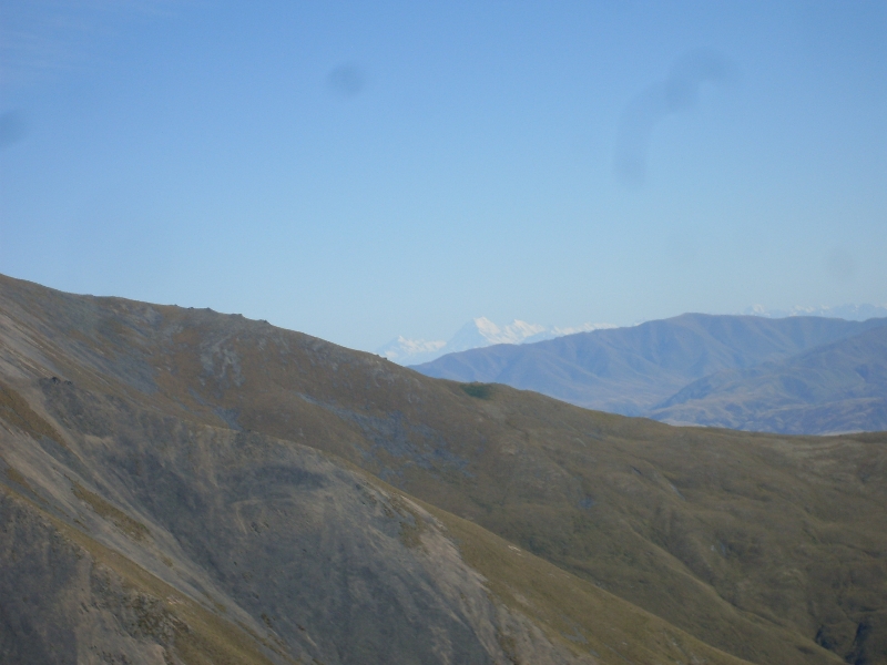
At about 10-30am we had a rest at about 1400m, from where we got our first view of Mt.Cook. Then it was all uphill again. We had a good view of the Ski field and road and could see the other group making good time.
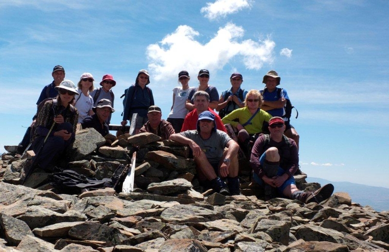
As we got higher up we started to come across some of those special alpine plants, so Bronwyn was having fun with her camera. After about 3 hours of climbing we came to the big flat tops with the last climb to the top of Kohurau in a distance. We headed off across the flat tops to the last climb up over some lose rocks to reach the top of Mt Kohurau at 12.15pm about 3-3/4 hours after leaving the cars. The other group arrived about 15 minutes after us.
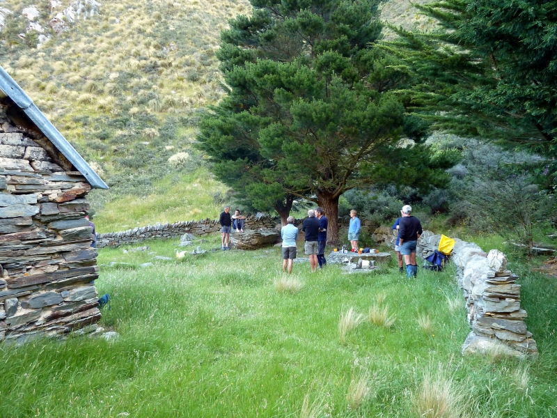
What a great place to have lunch on a glorious warm sunny day and the view was to die for. You name it we could see it. Mt Cook, Mt Tasman, Mt Aspiring and the Remarkables. We had 360deg. views everywhere.
After lunch and a few photos all good things have to come to an end, so it was back down the side and along the flat tops to the saddle that drops down to the road that goes down past the ski field.
Along the way there were more photos of some more alpine plants and then it was down to the lodge for afternoon break and a look around.
Then it was back down to the cars arriving there at 4pm, a 7-1/2 hour hike for the day, ice creams at Kurow and then home.
Thanks to Linda, Noel, Ross Familton, Sam, Ann, Phyllis, Dave, Bronwyn, Bill and the new trampers, Rodney and Helen, Matt, Theresa and Judith. You all made it enjoyable day out – Neville.


Mountain Bike Ride Rekkie for the 10th February
Tuesday, January 15th, 2013
Mountain bike ride on 4WD tracks, Mitchells Hut to Clifton Falls, Sunday 10th February 2013.
Maurice and I went out for a rekkie to Scout Hut on Tuesday 15th January for this coming trip. We rode from Scout Hut to Mitchells Hut and return . Then it was all down hill to Clifton Falls. The ride is 90 percent down hill, 41K or four hours riding time, plus lunch stop and photo stops.