Uncategorized
Swallows Track Working Bee
Monday, October 8th, 2018
7 October 2018
Spring Working Bee, Swallows Track, Herbert Forest.
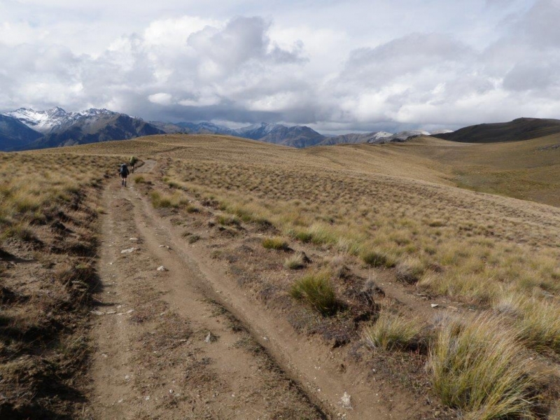
Eleven club members turned out for the latest working bee, which concentrated just on establishing more board walks in the Swallows track. This track gets the greatest use all year round and still has had muddy patches during certain parts of the year. Previously we had gravelled the beginning section and this work has been continued off and on for the last few months and was carried on with by two members on this occasion using a special 2 wheeled wheelbarrow which is now a new improved version with fully adjustable handles.
The rest of the group worked hard firstly carrying in all the materials and tools needed for approximately 28 meters of board walk in total and then building the boardwalks complete with wire mesh for better grip.
We used mainly screws for assembling the boardwalks on this occasion and members had fun trying out the latest screwing technology with impact drivers taking the hard work out of driving in the longer fasteners. Everyone worked incredibly hard and the job was all done by 3.00pm. One member lost his club hammer unfortunately, so if you happen to see one in the Swallows please grab it.
Many thanks to Maurice, Phyllis, Jane, Graeme, Mike, Vicky, Bob, Karen, Bess and John.


Nimrod Reserve
Tuesday, September 11th, 2018
9th September 2018
We arrived at Nimrod Reserve at 9.30am and 10 of us set off shortly after heading in a clockwise direction of the loop track. Up out of the bush on a view point, there was some low cloud but could still see across South Canterbury flats. We opted for a snack on the saddle before dropping down a rocky steep stage and down to Nimrod Stream. A detour 100m up the stream led us to the waterfall, unique as it has a rock arch at the top where the water rushes through. Up out of the bush again and we exited the loop track and followed the poled route up to the fence line. Being 12.30, we had lunch on a grassy knob before continuing through the gate and onto the Easement Track which leads to the Hunter Hills Conservation Area. This is a grass 4WD track with poled route which is the public access route. There were several other tracks going off the Easement Track which had “Private Track” signs. We passed through several spring gates, expensive looking, and effective in that no-one could leave them open. So with these fool proof tools in place, the owner can be rest assured that the stock and trampers will stay where they belong. As we got into the afternoon, Mt Nimrod with a dusting of snow on top, loomed closer, and there was talk of making a day trip to Mt Nimrod in the future. We returned back down the Easement Track and joined up again with the Nimrod loop track and continued clockwise back to the cars by 3.30pm. A stop at the St Andrews pub topped off the day.
Thanks for your company Sandra, Linton, John, Jane, Neville, Jac, Marian, Julie, and Dean. Bess


Mavora Lakes, Queens Birthday 2018
Wednesday, June 6th, 2018
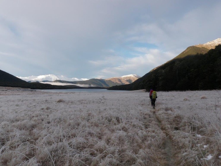
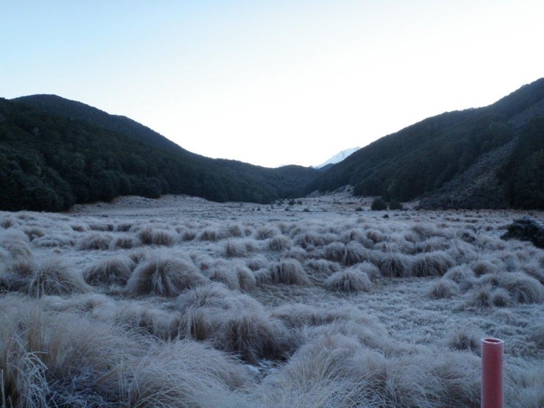
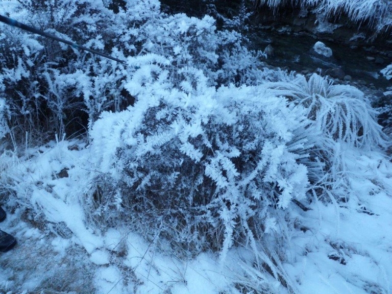
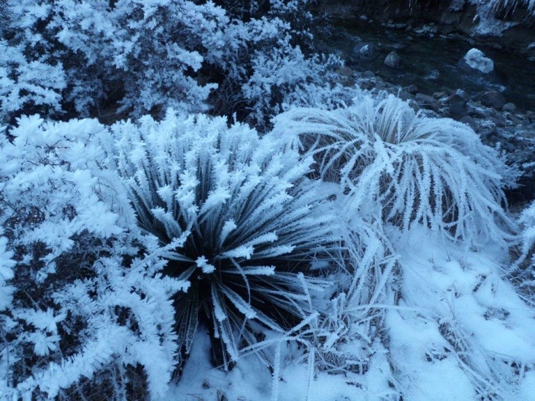
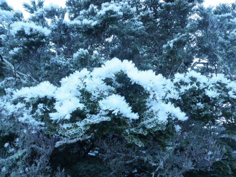
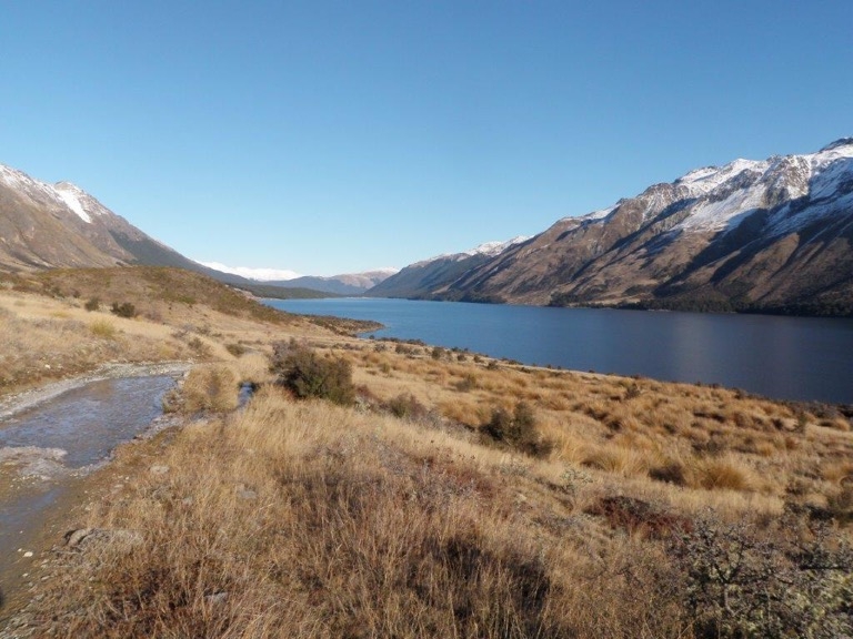
With a great forecast and outlook for the weekend four of us set off from Goblin Woods just after 3pm on Friday, Bess driving. We had fitted the pushbike in the back ready to drop off somewhere near Kiwiburn Carpark along the way in. Only stopping off briefly in Gore for some Turkish food followed by baklava. After stopping to drop off the bike and lock it onto a fence we arrived at the Mavora Lakes Camping area at the south end of Hikurangi(Upper Mavora Lake) and set up tents for the overnight camp. We quickly found a good spot under the beech trees sheltered from the severe frost settling around us in the clear, it was going to be cold. After a boil up and cuppa’s we had a yarn to some of the other campers sitting around their blazing fire, hunters possumers and fishers. A stroll around to the lake and the surrounding snowy peaks bright as in the near full moon.
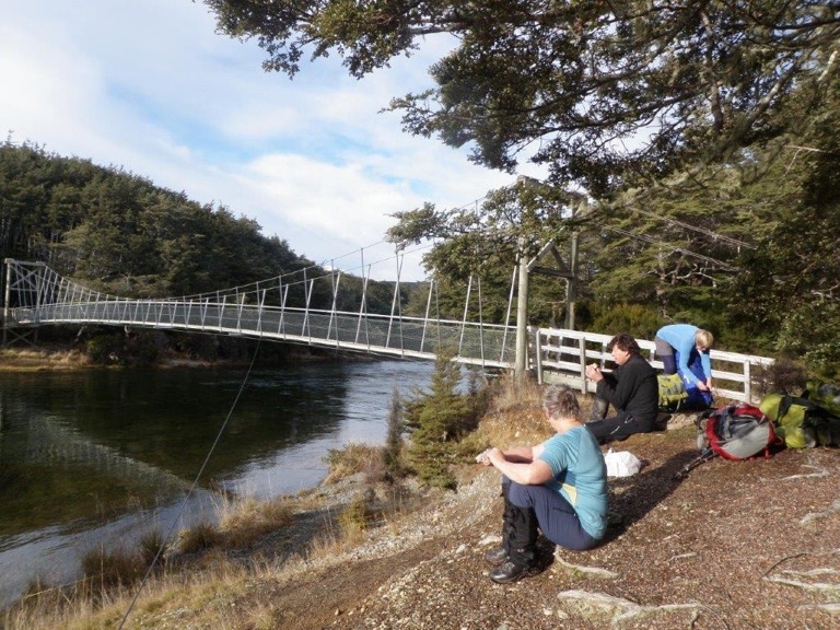
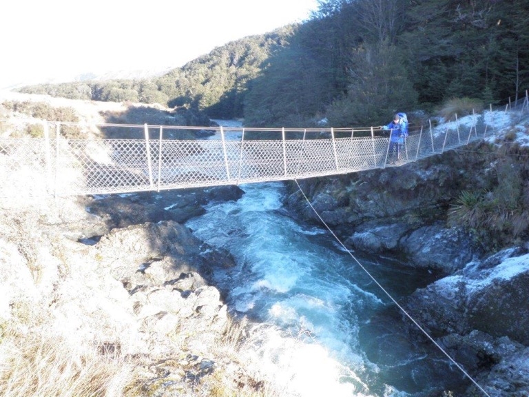
It was a chilly night in the tent but invigorated anyway, we got up at 7ish and ate packed and left by 9. No desperate rush as we should have plenty of time to get to Kiwiburn Hut for that night. Over the first swing bridge crossing the passage in between the 2 lakes, its a slow flowing river. The sign said 2.5 hrs to the next swing-bridge at the bottom of the South Mavora Lake. This is a part of Te Araroa and also the Mavora Walkway. It’s beautiful and not difficult going along beech, tussock grassy flats and more beech, a break at the next swing bridge for a snack. We carried on along a slow deep part of the Mararoa River as it flowed out of the South Mavora Lake. Heading for the last swingbridge in the vicinity of where the bike was left and the turn off to our intentioned route which was the loop track around to the Kiwiburn Hut. A minor navigational glitch when we found another junction prior to this which was named the Terrace Track but was unmarked on any map and in the end we decided not to follow this track only being able to guess where it came out.
It was 1.45 by the time we came to the junction and the turnoff for the loop was posted as 3.5 h, the direct route posted as 1.5 h and we choose the more direct track because of the shortness of the day. As it turned out we arrived at Kiwiburn Hut before 3 and it was a great location for that time of the day with full sun and relative warmth. Two others were there but away at the time, plenty of room with 10 bunks free. A potbelly klondyke on one side stacked with fresh wood all around it, a warm night was promised and delivered. Another couple arrived and the ones away returned from a hunt, a large Maori man and a tiny Norwegian woman and a young dog named Pippie. It was a busy warm night with the usual laughs and stories.
An early wake up for the hunters ensured bed by about 9. We woke up to the fire already going and the hut warmer than what we usually find. The party split here and after breakfast and packing 3 went around the loop track and 1 went back directly, crossing the last swing bridge and reunited with the push bike. Initially it was a struggle to get traction against a steady slow climb and a strong headwind as well as trying to eat a bit of early lunch. In the end the food won and the biking got easier after a brief stop and became very pleasant for the section in the forest and around the lake.
Back at the camping area and the bike was packed back into the truck and the truck then driven to pick up the 3 loop walkers. The group now reunited and ready for the next bit of the adventure. We were advised by campers to drive beyond the next carpark going north and attempt the 4WD track leading to our destination Carey’s Hut. This turned out to be bad advice and the truck had to be extradited from loose gravel only meters from the start with the help of some young noisy ones in 4WD’s and noisy quadbikes. We were grateful for their help nevertheless. The next 2 hour walk was on a very badly damaged 4WD track which has suffered much abuse and looks bad and is difficult to walk on when the ice turns to mud and the wallow holes are nearly 1 meter deep. We saw no other walkers even though this is Te Araroa, only noisy bike, quadbikes and 4WD’s and fizzboats on the lake.
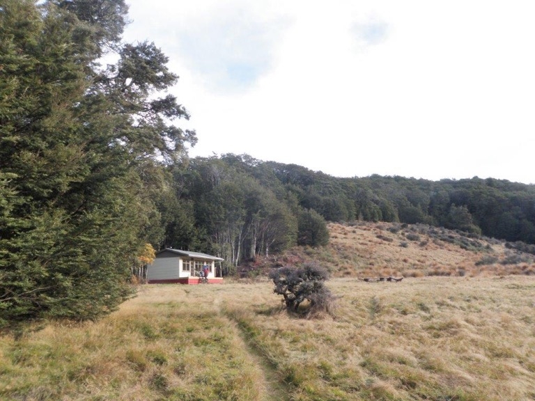
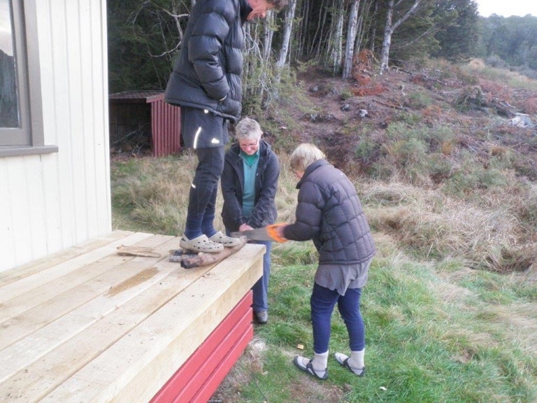
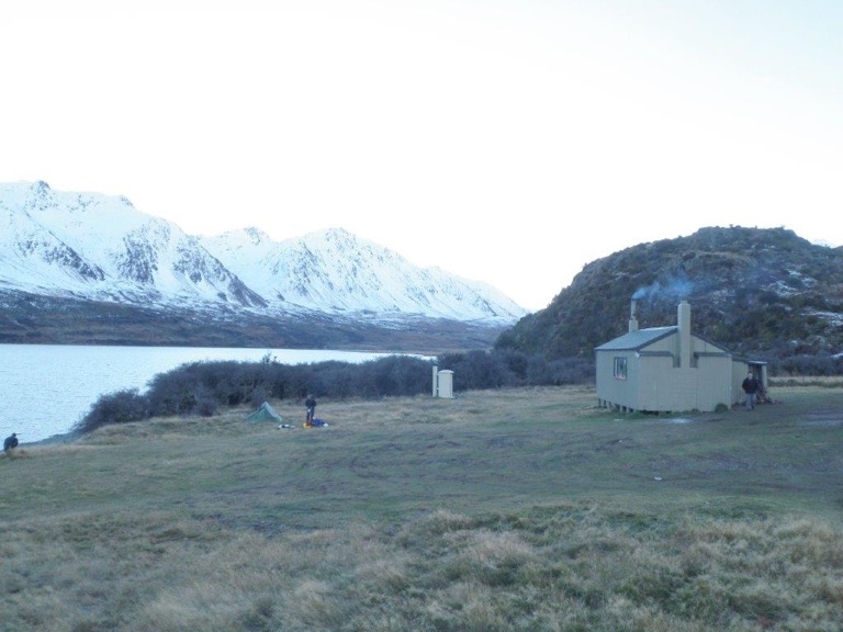
We arrived at Carey’s Hut to find it occupied by a family with a boat, there were 8 there already in a 6 bunk hut with enough gear spread around the hut to fill it. We erected the one tent we’d brought and got it ready to accommodate the inevitable over flow from the hut. More 4WDers arrived and set up camp. As the afternoon turned to an icy evening there were more arrivals looking for room in the hut, some in 4WD’s, one more walking. Eventually the hut fitted most with just 4 being turned away in their truck. One slept out in the tent and the temperature fell low enough to freeze the water bottle inside the tent. An early night, with little room in the hut for all to be comfortably sitting.
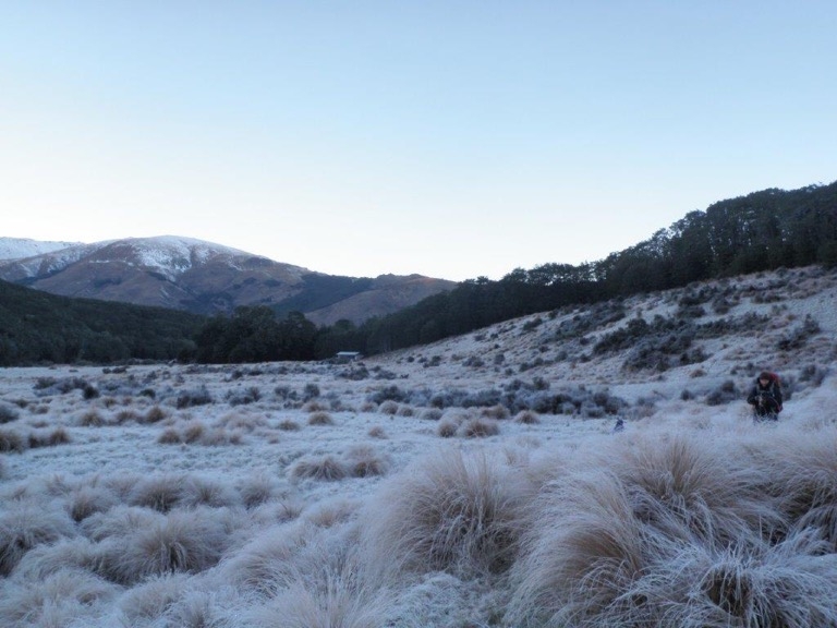
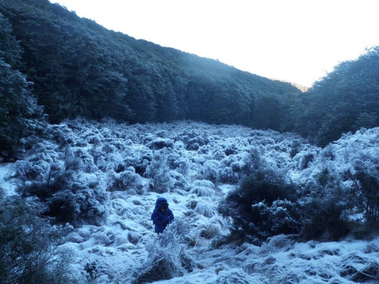
After the usual activities in the morning we were walking in crispy frozen conditions for the return 3 hours to the truck, a much more enjoyable walk in the hard icy conditions compared to the previous day. The sun eventually shone on us about halfway back and we stopped for snacks and a look, arriving back at the truck at midday for a lunch and then the long drive home. This was a great early winter walk, the first part of the walk beating the second hands down due mainly to the activities of vehicle users in this conservation area which leaves a very large footprint indeed. Thanks to Bess for driving and John and Marion for coming too. Robbie
Silverpeaks Rosella Ridge via Cedar Spur
Tuesday, May 29th, 2018
Sunday 20 May 2018
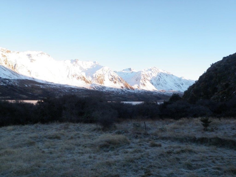
This was a trip the Otago Tramping Club did in November last year and it looked like an interesting trip. Four of us meet early at 7.30am and headed for the Silver Peaks car park, with the weather outlook looking not bad for the day with strong N/W winds changing to a cold front and rain by late afternoon.
We set off about 9am and took the Green Ridge Track to the old Green Hut site. We then took the track down the ridge, dropping steeply near the bottom to Possum Hut. After a wee break followed a good track down the South branch of the Waikouaiti River, which was more like a creek, for about a 1 km till we found the track we were looking for over the river. After crossing the river we followed a good track for about 200m until it split into two tracks. With no signs on which was the way to go we took the high track that went up. The track was well worn but in some places the ground cover was starting to take over.
After about an hour of uphill we came to another intersection with what was the other track that we had decided not to take further down. This time the tracks were marked and we found we had come up the Direct Spur track while the other track was the Cedar Spur track. From here it was a bit of a grunt up onto Rosealla Ridge arriving about 1pm. Lunch was had beside the Rosealla Ridge track in the bush to get out of the strong wind that had picked up.
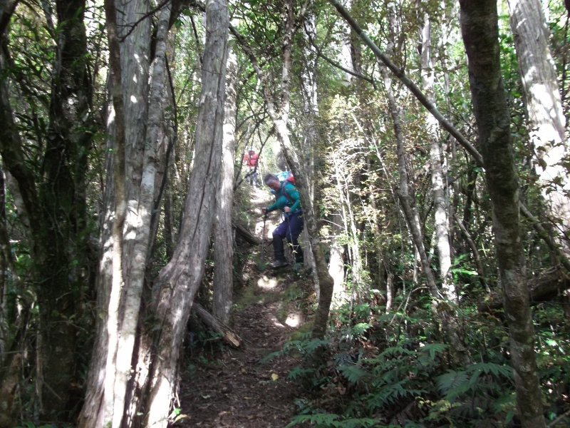
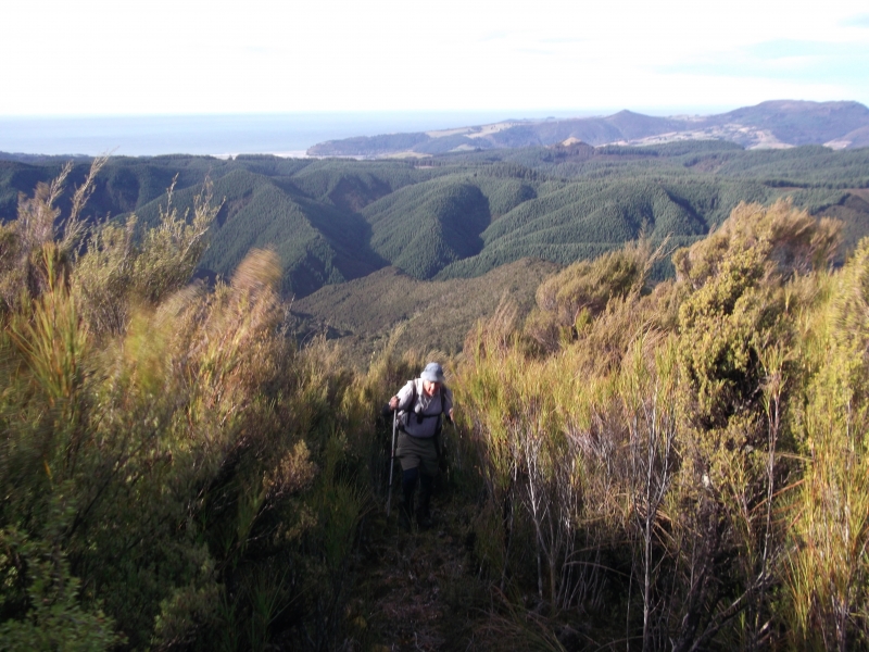
We then followed the Rosealla Ridge track N/E over Little Pulpit Rock for about an hour, with great views when we weren’t getting bowled over by the wind, until we came to the Hunters Access track which took us steeply back down into the valley below. It was then back up the river track, checking the map a couple of times as there were a few tracks going in different directions and we wanted to take the direct track back up to the road near Possum hut. We starting the last steep climb up to the road about 4.30pm and got back to the Vehicle at 5.15pm just as the rain and the cold front started to come through.
It was a big day out, but a goodie. Thanks to John, Bess and Marian for your company for the day.
Neville
Ahuriri Valley To Lake Hawea (Otago Anniversary)
Monday, April 2nd, 2018
Group 1 – Ahuriri Valley to Lake Hawea via Timaru Creek 24th March – 26th March 2018
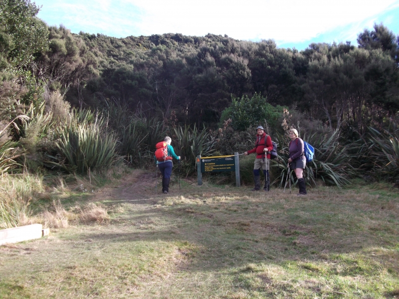
The group consisting of Uwe, Mark and Sylvia left from Oamaru at 6am in the morning and set off under cloud from the Ahuriri Valley on Birchwood Rd at about 8am.
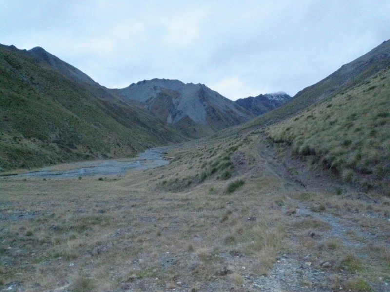
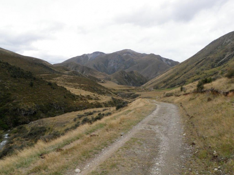
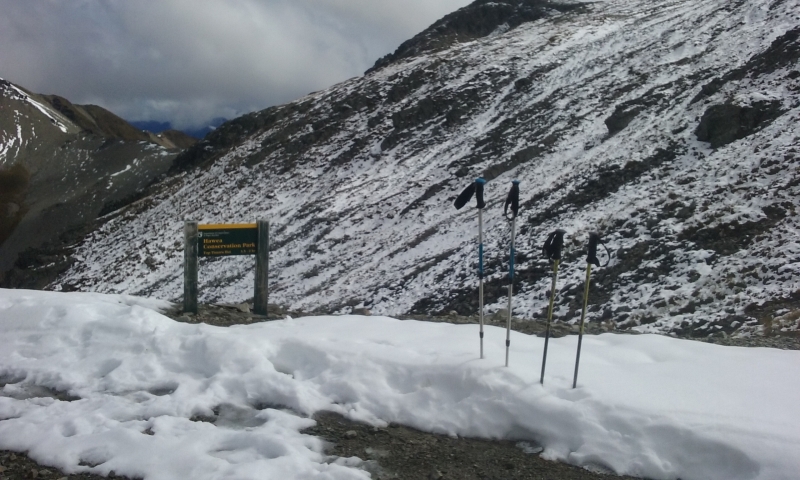
The track this end started with a very gentle incline on farmland until the privately owned Tin Hut was reached where we consumed our Morning Tea. Now the more serious tramping began as we climbed up to the Mt. Martha Saddle 1680m on a well formed farm road. The lingering clouds cleared for a fine view over both sides at the top of the pass. Among patches of snow we had our lunch, boiled the billy and enjoyed a strong hot coffee with a view! The sun was very welcome! Another couple of hours following the farm track, crossing a few creeks, took us down to the Top Timaru Hut.
A couple of hunters had occupied two bunks, these guys had been flown in by helicopter for 5 days apparently shelling out 1,500 bucks for the trip! No wonder an 18 pack of beer was part of their food supply! Two TA trampers from Canada were added to the hut occupants later in the day.
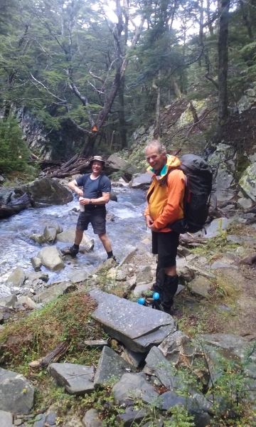
The next morning we left about 9am only to realise that the day ahead would be quite a hard one. The first km was relatively easy continuing the farm road down the valley, however once we left the road and entered the bush it was slow going. Steep sidling, bluffs and numerous creek crossings to negotiate, some slips to cross (just don’t look down) and more steep sidling up and down made the going slow. About 1km an hour!
The TA trampers were still in bed when we left, but caught us up by lunch time (O to be young again). Another couple who came towards us told us about a dangerous fresh slip between Stodys Hut and the junction, so after about 5 hours we were wondering what had happened to the other group. Did they get across? At about 2.30 we eventually met and it was reported that the slip was not that bad, but a late departure and slow progress may require torches to reach the huts in the dark, not ideal!
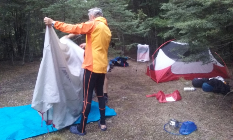
So we didn’t linger and continued down Timaru Creek track. About 5pm we reached the turn off to Stodys Hut. Unanimously we decided that we would carry on down river and find a good camp spot. It wasn’t too far away and we actually had a real good night’s sleep.
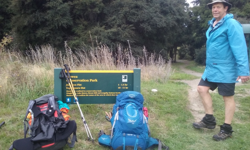
The morning dawned mild, the tents were almost dry, just before 9am we continued our journey along Timaru Creek. The track was comparatively easy, the odd sidle and slip through the gorge, but mainly along the river bed. The numerous river crossings slowed us down somewhat as the water was murky and made it hard to judge how deep the river was at that point. Walking poles are wonderful! It took us about 4 hours to reach the end of the track at Lake Hawea. Our standing joke now is : ‘This must be the last river crossing.’ The track description on the DOC sign at track end/start did not exactly match our experience, it rather understated the difficulty.
While Mark watched the packs and walked in circles for about an hour to dodge the sandflies Uwe and Sylvia fetched their car, add another 6kms brisque walking to the bottom of Breast Hill Track. Mark was relieved to see us arrive when he was able to escape the pesky sandflies.
Sylvia


Group 2 – Lake Hawea to Ahuriri Valley
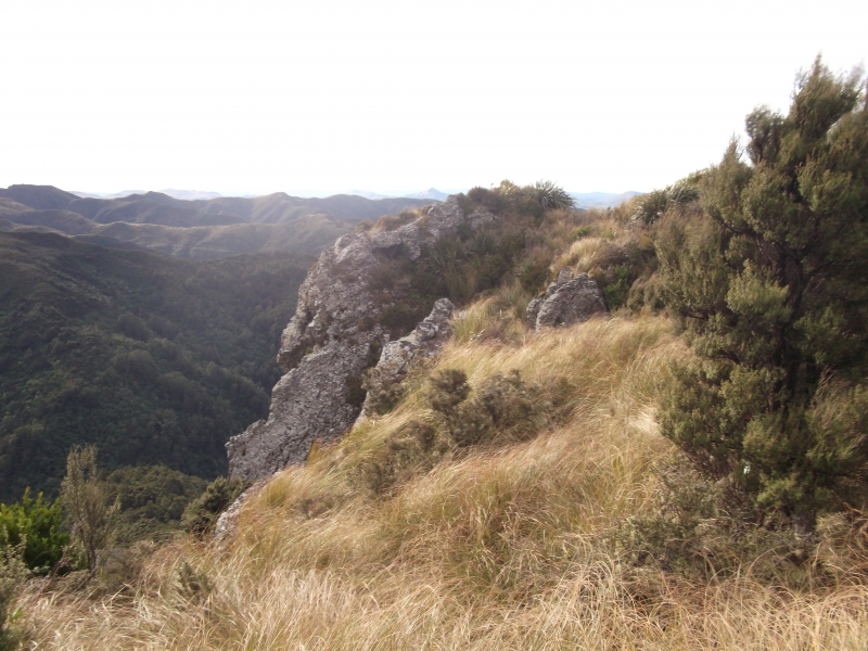
The Hawea team of Robbie, Phyllis, Steve and John arrived at the car park on Timaru River Road at 9.30, having left Oamaru at 7 o’clock. At 9.50 we set off up the impressive zig-zag, the first stage of the day’s 1050 metre climb. Above the zig-zag the track crossed a shallow saddle, then scrambled up a steep rocky ridge to sidle across a basin and pop over the top ridge (1400m) to reveal the modern Pakituhi Hut nestling in a shallow tussocky basin below. It was now 1.20pm so lunch was taken on the verandah to admire the vista and ponder the next move.
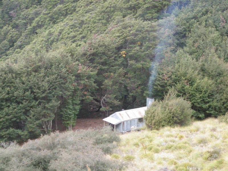
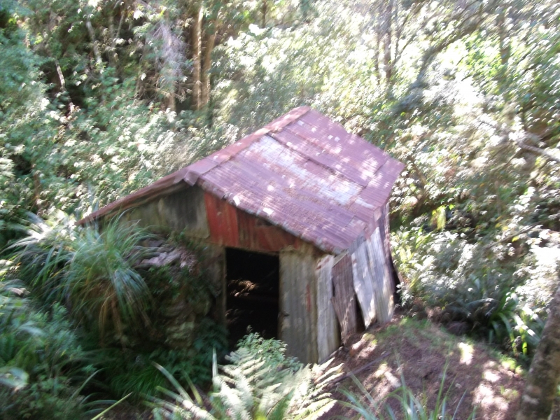
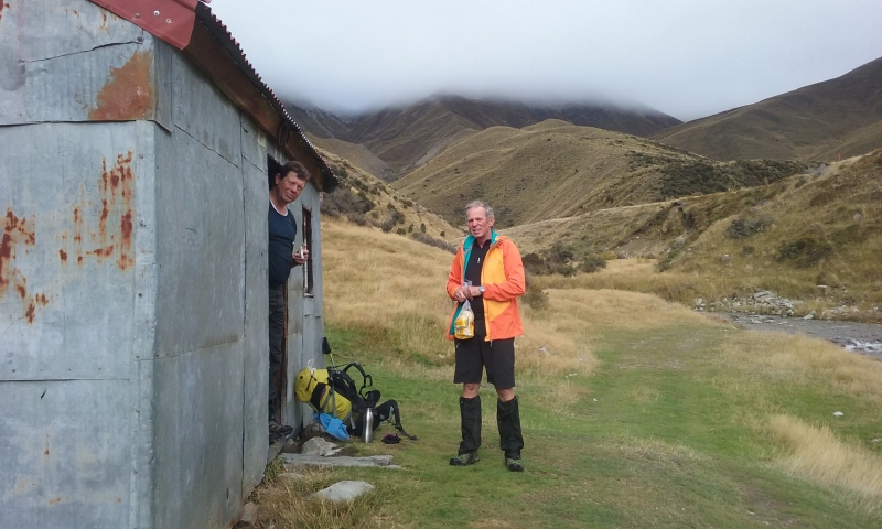
Two routes were available to the next hut; over Breast Hill (1578) or following a lower 4wd track, the two tracks meeting after about 3km. Given that Breast Hill was shrouded in cloud, obscuring any potential view, the lower track was chosen. This wound across the undulating tussock tops, offering glimpse of views towards rivers and mountains, heading north for the first two kilometres before turning east for about four kilometres to a fork. At this point we turned north again to wind downhill for a kilometre or so until a glimpse of smoke wafting above a beech grove revealed the presence of Stody’s Hut – 3 hours after leaving Pakituhi Hut. As we got closer we could see the old hut nestled at the tree line. This is a former musterers’ hut, clad in corrugated iron, with a dirt floor and two sleeping platforms designed for six. As evening came on numbers grew to ten, so Robbie and John unpacked tents to relieve pressure on the hut – though finding two reasonably level pitches was not easy.
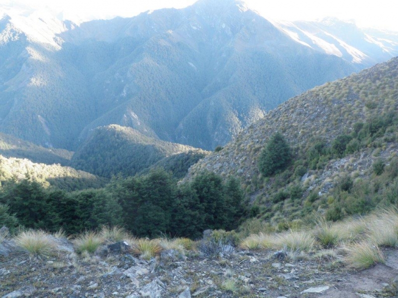
Morning dawned after a night punctuated by rain showers and screeching possums (for one camper at least). The party got under way just before 9am, heading on an eastward sidle toward the ridge with the track down. This was very steep, winding through sparse beech forest and at one point disappearing where a slip had destroyed track markings. It descended 500 metres in under 1.5 kilometres and we took 3 hours to reach the junction with the Timaru River Track. Time for lunch.
As we set off up the river, it soon became apparent why track guides suggested 5-6 hours to cover the 12 kilometres to the Top Timaru Hut. The track left the river to sidle high up the true left, sometimes up to 100 metres up the steep-sided valley, dropping down to cross side streams, then climbing up again. Progress was slow – about I kilometre an hour and we were becoming concerned about reaching the next hut before dark. Eventually the track came back to the river – thigh deep and swift – and crossed and recrossed it only to revert to sidle mode. At 2.30pm we met the other party who told us they had been on the track for 5 ½ hours (expressed with greater precision and feeling as “5 hours 20 minutes” by one of the party), which exacerbated our concern and made us determined to press on.
It was shortly after this that things went awry. John, at the back of the group, had stopped to fill his water bottle at a particularly clear side stream (as other members of the party had also done), losing touch for what should have been a few minutes. A little further on the track dropped down to the river and the main party stopped on a grassy clearing above the river bank to wait for John. They never met up; what appears to have happened is that John carried on along the river bed and only climbed up the bank past the clearing. Imbued with the exhortations to press on, he did, expecting to meet up with the others sooner or later. The track sidled again, but not as high as earlier, then came down and embarked on another eleven crossings, considerably shallower and less swift than the first few. Finally, the track crossed a major tributary and climbed up its true right for what proved to be the toughest sidle of the day – the valley side was very steep, the track very narrow, rocky knobs had to be clambered over and slips navigated. At the end, the track itself climbed very steeply to come out to the very welcome sight of a bare saddle and an old gravel 4wd track. It was now about 6.40 and the Top Timaru Hut under one kilometre away.
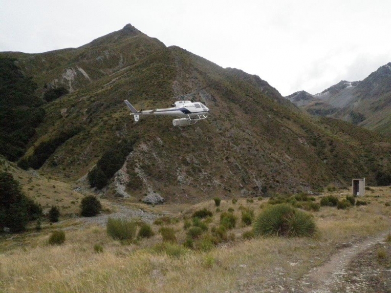
Meanwhile, back down the valley, the main group were becoming increasingly concerned about John. Searches for over an hour back to the point of last contact revealed no sign and at 5pm the decision was made to activate the PLB. In little more than an hour, the Search and Rescue helicopter arrived from Wanaka, operators briefed and search launched.
The helicopter spotted John on the open saddle, landed, confirmed his identity and explained the situation. The pilot confirmed that the hut was only 15-20 minutes down the old road, and said he was going back to fetch the main party to ensure they were not stuck out overnight. There was much waving as the chopper returned with the passengers and relief as the party were reunited at the hut, ten hours after the morning off.
After that, the night was relatively uneventful. Eventually there were seven guests in the modern six bunk hut, but all were accommodated except for the local mouse, who was shut out.
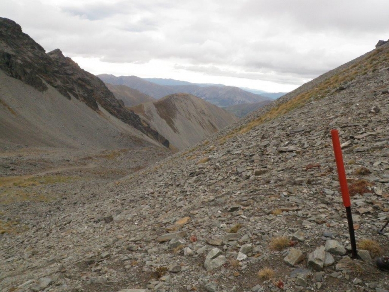
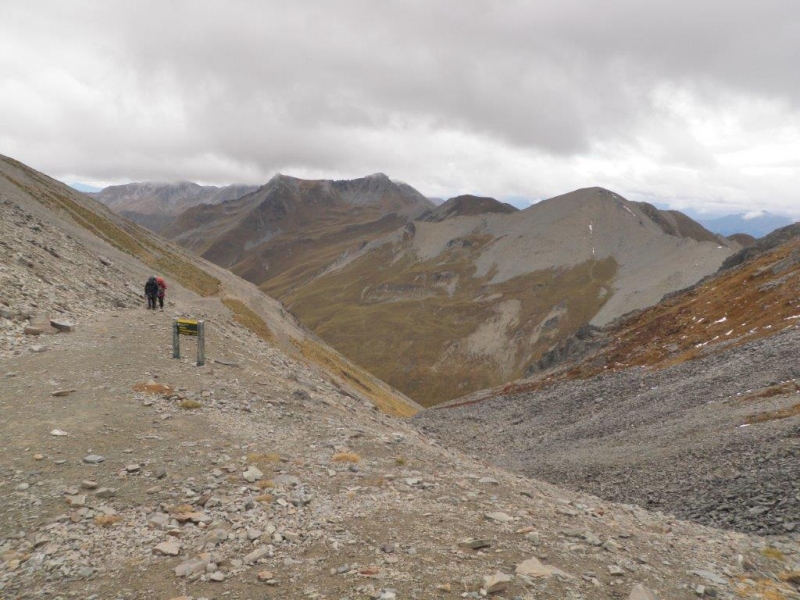
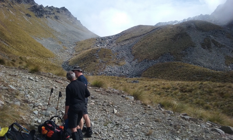
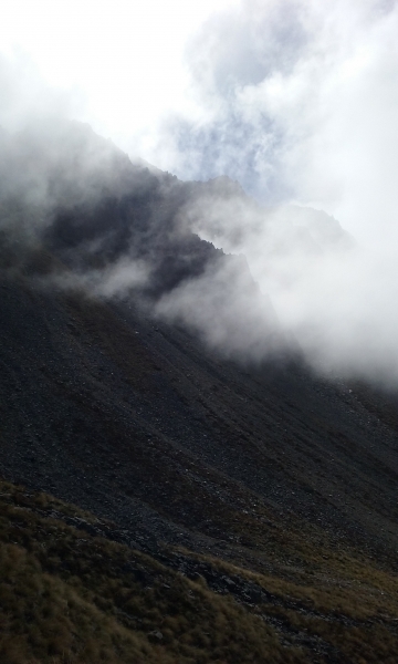
Next morning, reveille was at 6am and the party were on the track by 7, walking with aid of head torches for the first half-hour. The track- still an old 4wd one – initially rose very gently up the tussock-carpeted valley, but ahead we could see it climbing up the steep, scree covered mountain. After about four kilometres the serious climb started. The track was wide and well graded but the strong north-west wind at times threatened to blow walkers across or off it. Progress was slow with John feeling the effect of the previous day’s exertion but, after dosing with dark chocolate, dried bananas and Tim-Tams, the 1680 metre Martha Saddle was reached, some 800 metres above the starting point. From the saddle, an encouraging glimpse could be seen of the Ahuriri valley in the far distance.
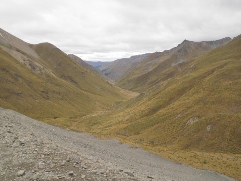
From here it was, as they say, all (or mostly all) downhill. The going on the old 4wd track was generally good, initially down scree-clad slopes then on to tussock country. We were passed by what seemed to be a constant stream of Te Araroa walkers, only one of whom was Kiwi, heading up the pass. Eventually signs of civilisation appeared, with a mob of cows and calves coming down off Pavilion Peak in the autumn muster and, at the bottom of the hill, a set of cattle yards with an old, but well-furnished tin hut. From here the route followed the Avon Burn on a farm track until, to the south of Ben Avon, it left the road and crossed the stream to the true left to follow along the bottom of the hill, past a hunting lodge and finally, with great relief, to reach the car park on the Birchwood Road, 54 kilometres from Lake Hawea, at 3.45pm on Day 3.
One commentary describes this as a particularly demanding track due to its exposed nature and physically demanding terrain. It does not lie.