Mount Kyeburn
Sunday, 20 October, 2013
The day promised to be fine, albeit with strong north-west winds, as seventeen trampers left the car park at 8.15am. The 75km drive took the four vehicles over Danseys Pass to a parking area marked with a DoC sign 5km west of the top of the pass. The track led immediately down to and across Timber Creek and through two gates on to clearly signposted DoC land. It then crossed two tributaries.
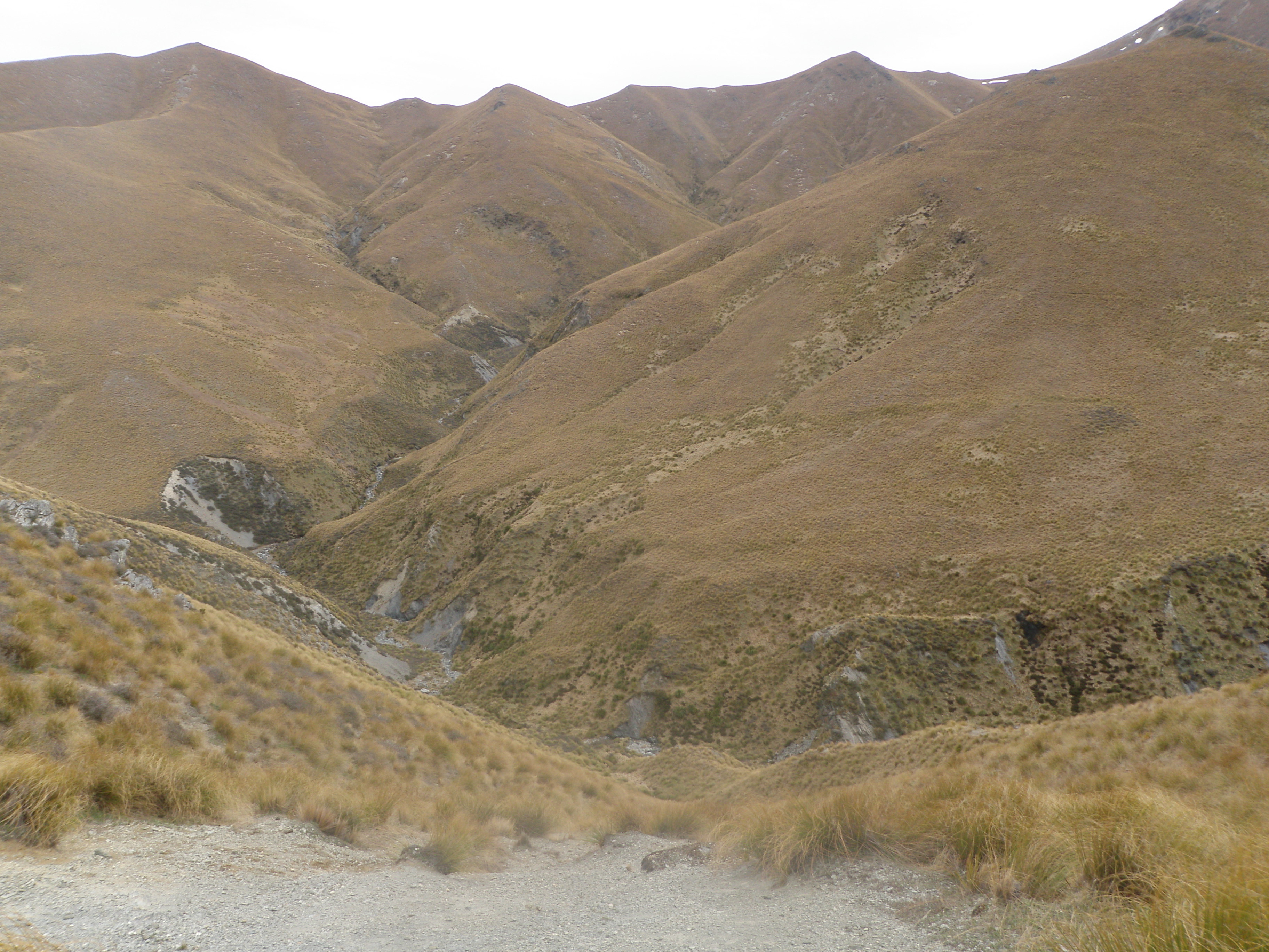
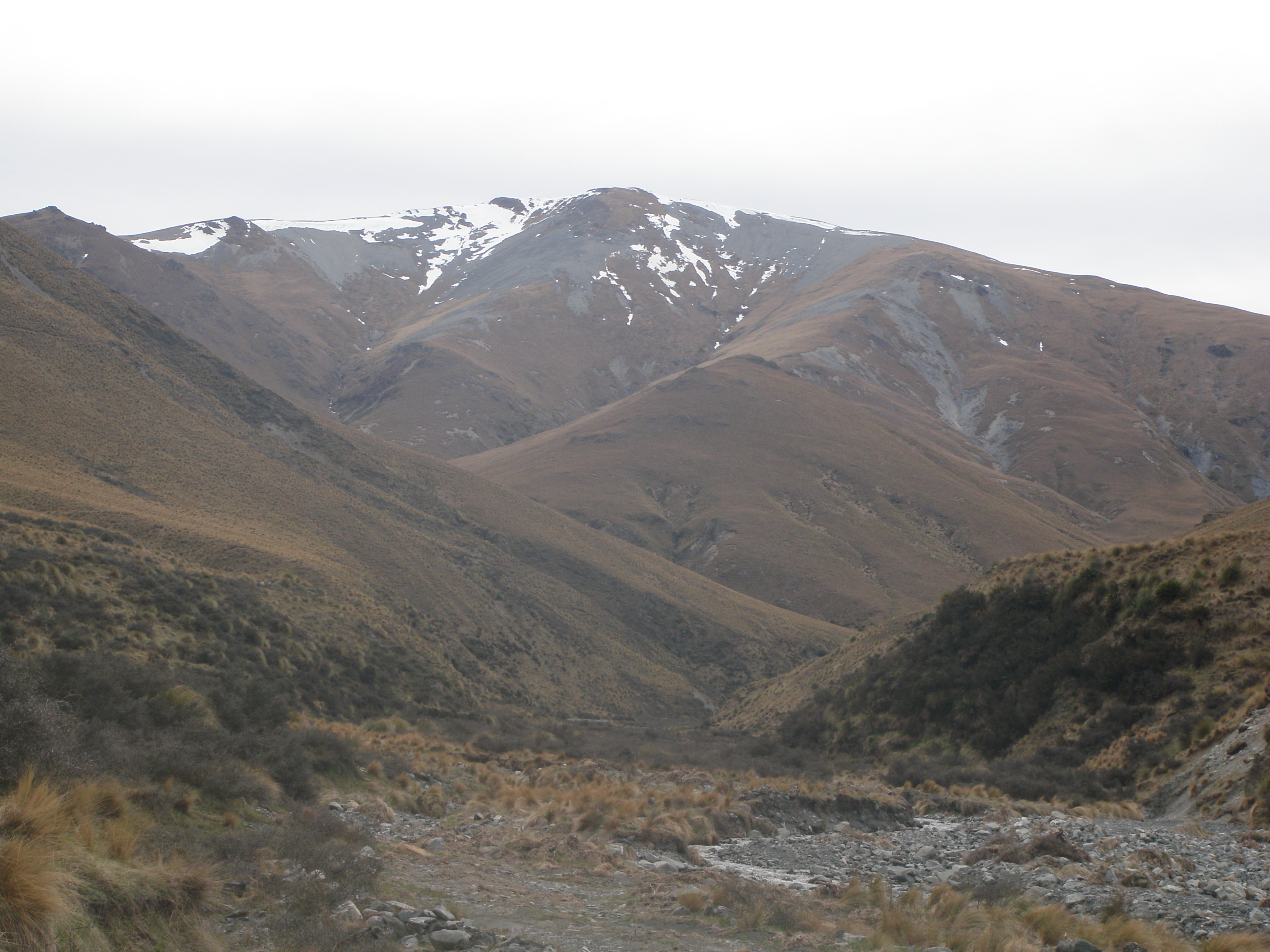
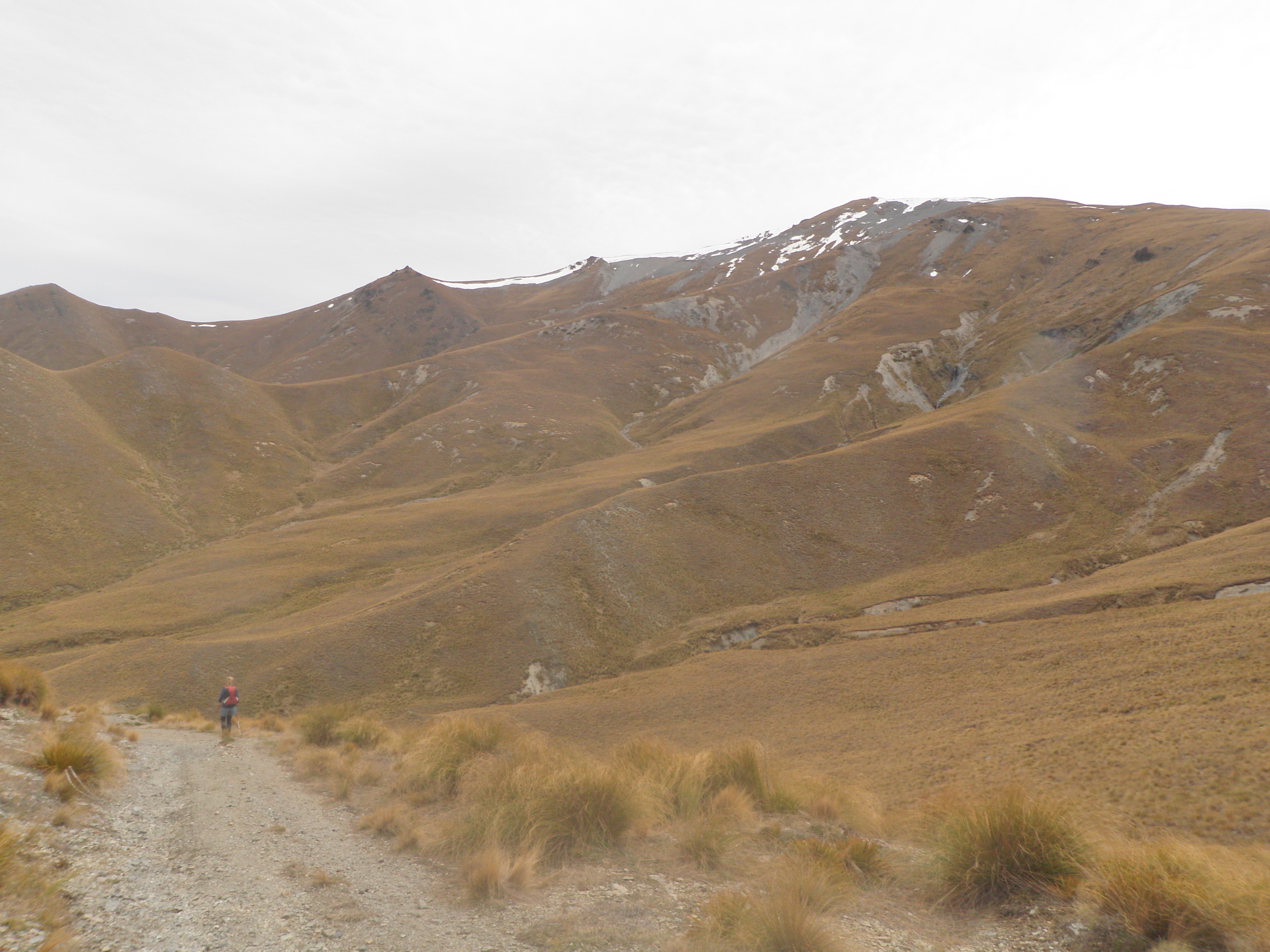
At the second, larger one, the party split, ten continuing up the 4WD track which headed north, climbing up a ridge above and to the west of Timber Creek before swinging west to approach the summit from the north-east. The remaining seven headed north-west up the second tributary to a junction where they were able to scramble up a steep tussock face on to a broad ridge. This ridge led almost directly to the summit ridge, over two humps and climbing steadily up through tussock and shingle. The top was reached in between 2¾ and 3¾ hours, with the ridge route being a little quicker on average.
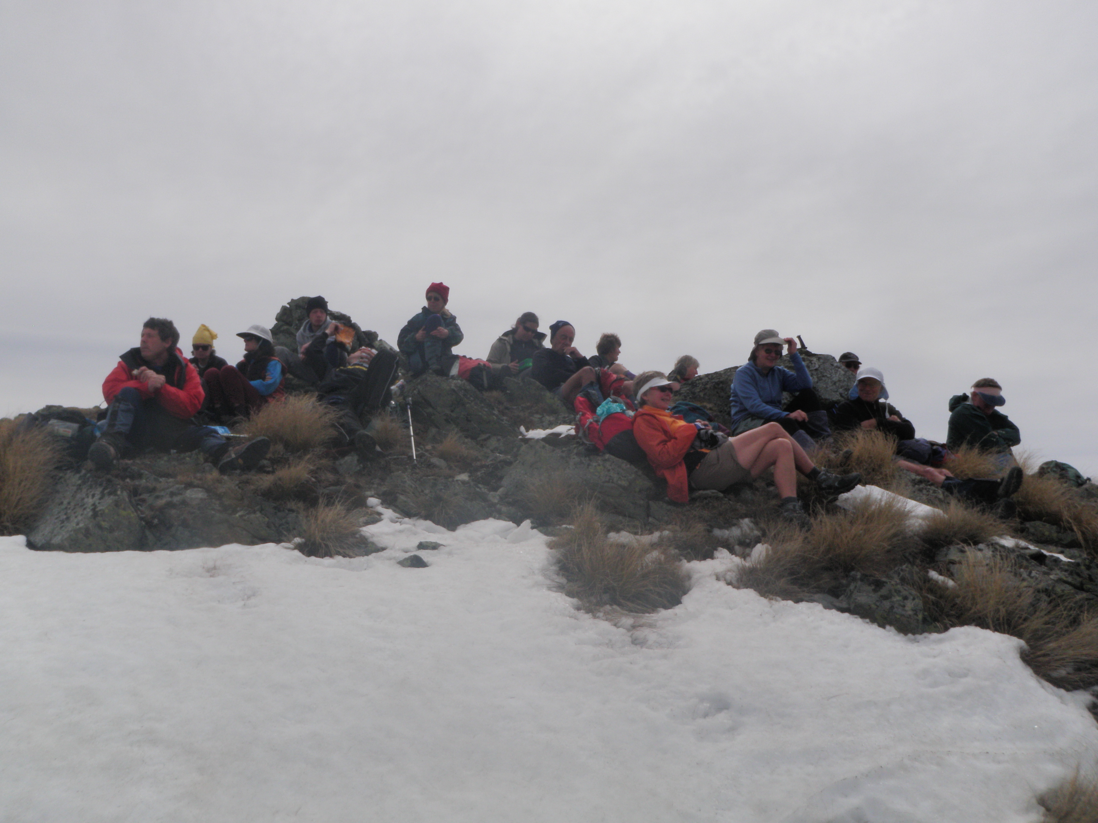
Lunch at the top was enjoyed with a stunning 360o panorama, from the back side of the St Mary’s Range to the east, around to the Waitaki Plains, Kakanui Mountains, the Maniototo, Mt Ida and the Buster gold diggings, the Hawkdun and St Bathans ranges, and Lake Ohau with a backdrop of Southern Alps. Lack of the expected gale-force winds on top added to the pleasurable sojourn.
The return trip, down the 4WD track, took an easy 2½ hours.
The day was enjoyed by Maurice, Phyllis, Ken, Jo, Els, Colin, Jonny, Judith, Teresa, Linda, Neville, Jane, Sam, Bill, Jac, Ros and John.