

Trip Reports
Mt Ida – Ida Range, Oteake Conservation Park
Thursday, May 28th, 2026
Sunday 24 May 2026
It had been almost 12 years since the previous trip to Mt Ida, led by Noel Pullan in July 2014, on a bitterly cold mid-winter day, that saw us turn around at about 1400 metres, after we all agreed that it was far too cold to continue on up into the thick layer of cloud covering the top of the range. Over the intervening years, I had made a few suggestions to various club members that perhaps it was time to have another crack it, so thanks to Jenny for including it on the autumn calendar.
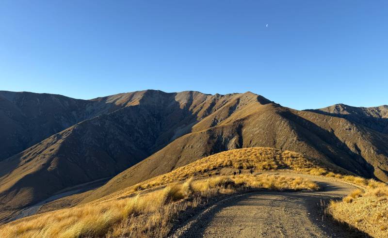
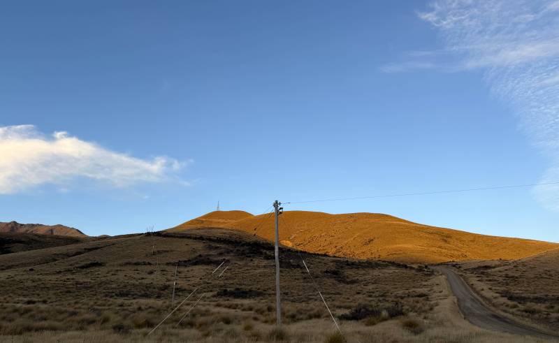
After driving up to Palmerston from home in Dunedin, I met-up with the other five trampers, who had left Oamaru at the usual 8:00 am start time, before continuing in two vehicles along State Highway 85 through the Pigroot to the Mt Ida Station homestead, just over 3 kilometres past Wedderburn, where the Little Mt Ida access road starts from a farm yard about 300 metres past the homestead on the right-hand side of the road. We’d been assured by the station owner that the access road was in a good, dry condition (unlike 12 years prior), so there were no issues driving the 7.3 kilometres to where we parked, at the prominent right-angled corner of the road where it continues on up to the television transmission tower and building on top of Little Mt Ida.
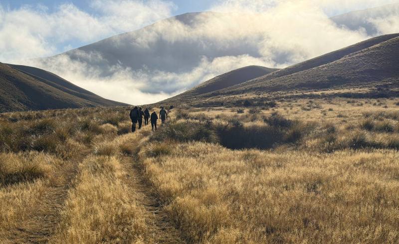
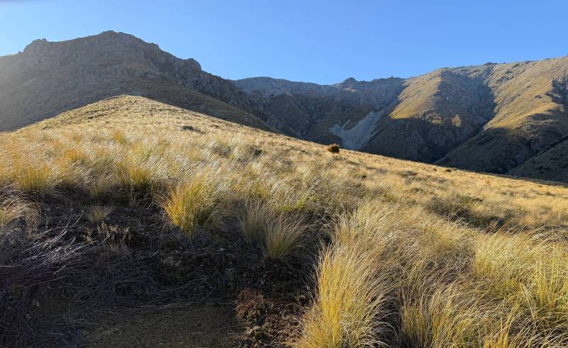
At 10:22 am we set-off along the 4WD track from the road corner at 740 metres, initially following the course of the Ida Burn north, before turning northeast and climbing briefly up to a track junction at 880 metres, at the base of Mt Ida, covering the 3-kilometre distance in around 45 minutes. We stopped here for a morning tea break, while the last of the valley fog cleared, revealing a perfectly fine and calm day. From here, we crossed a boundary fence and started up the tussock slope beneath the rocky outcrops of the southwest spur. Based upon the winter ascent in 2014, I had described this initial climb as “quite steep”, but with an additional 12 years of ageing to take into consideration, I would now upgrade this rating to “very steep”!
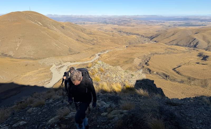
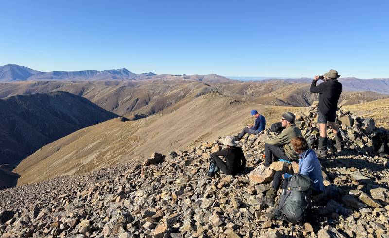
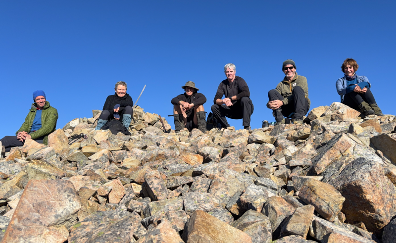
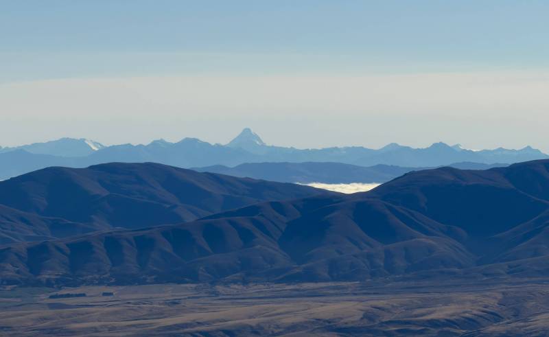
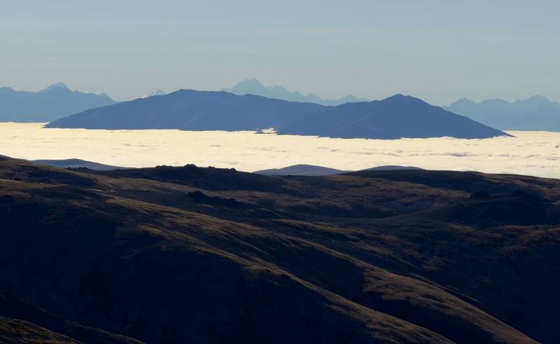
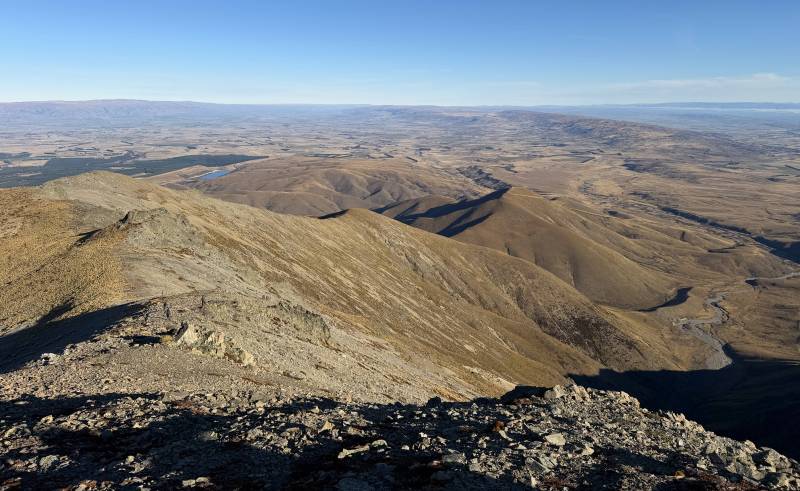
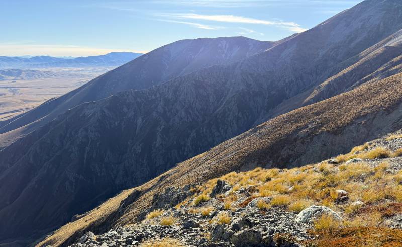
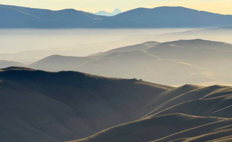
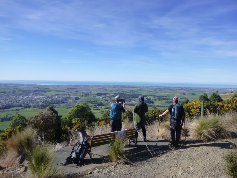
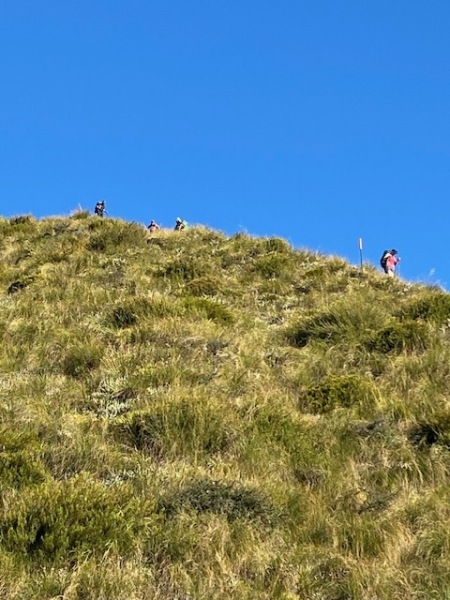
We weaved our way up through, around and over the rock outcrops and after an hour and a half of hard slog, we had completed the ascent of the spur and settled down for a lunch break at 1425 metres, on what could now be described as the southwest ridge proper. We enjoyed a relaxed lunch in the sun, enjoying the spectacular views over the Maniototo Plain to the southwest. At 1:00 pm we resumed our ascent of the southwest ridge and despite the last 90 vertical metres requiring a scramble over some “quite steep” rocks, we were all at the large summit cairn at 1690 metres around 1:30 pm, a total of about 3 hours and 10 minutes from the vehicles. We sat in the late-autumn sun with mostly calm air and tried to take in the enormity of the scenery around us, from the vast expanse of the Maniototo Plain, stretching from the southeast, right around to the south, and southwest across the Manuherikia Valley, backed by the Dunstan Mountains and, even further back, Tapuae-o-Uenuku / Hector Mountains, The Remarkables, Mt Earnslaw / Pikirakatahi, Mt Aspiring / Tititea, around to the northwest and north to the distant chain of the Southern Alps / Kā Tiritiri o te Moana, culminating in Aoraki / Mt Cook and the countless high peaks of the Aoraki / Mount Cook National Park. To the northeast and east were our local peaks of the St Marys Range and Kakanui Mountains, where you could easily trace the routes of previous trips. It was a truly magnificent viewpoint and well worth the effort to get up there, especially on such a calm day with as much visual clarity as you could hope for. After making the most of the available photo opportunities, and a top-up of food and drink, it was time to begin the descent, departing from the summit cairn (which encloses the original 1881 trig station) at 2:13 pm, giving us 3 hours until sunset.
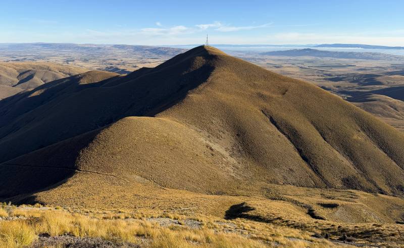
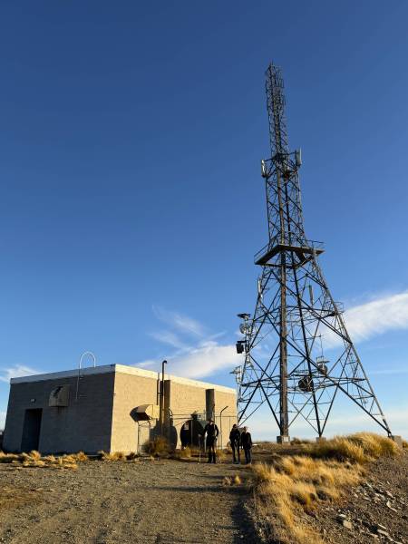
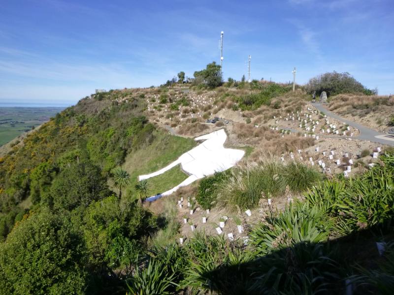
We made short work of the descent of the adjacent southern ridgeline, which lead us all the way down to the saddle in front of Little Mt Ida, before the final 20-30-minute steep climb up through the tussocks to the building and tower on the top of Little Mt Ida at 1169 metres. Although it was anticipated that we may have been there closer to 5:00 pm, and capture some sunset photos to the west, we had all departed from the top of Little Mt Ida by 4:10 pm, enjoying the easy walk down the access road to the parked vehicles at the bottom, with the last of the party arriving just after 4:40 pm, completing the 12.4-kilometre circuit in 6 hours and 20 minutes.
Soon after, we were back in the vehicles and on our way out to State Highway 85, before returning to Palmerston via the Pigroot, where we parted company at the end of what I would personally rate as one of the best days I’ve had in the hills.
Sincere thanks for the company of Jenny (and for organising and arranging the trip), Robbie, Julian, Jane Simpson and Jake (visitor).
Rodney Meiklejohn
(Dunedin-based NOTMC member)



The Ship at Anchor – Lammermoor Range
Friday, May 1st, 2026
The Ship at Anchor – Lammermoor Range, Te Papanui Conservation Park
Saturday, 25 April 2026
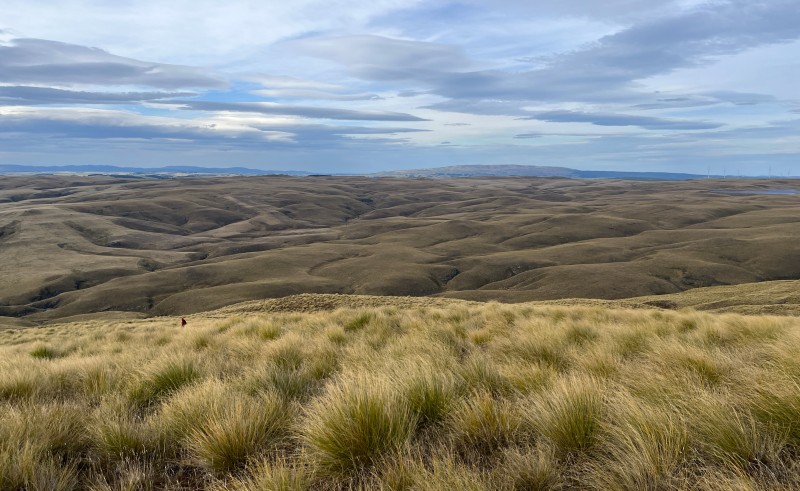
This was on the club calendar as part of a weekend visit to Dunedin, but only Jenny was able to make the trip south for the ANZAC Day long weekend. However, we continued with the intention of doing a walk within the Te Papanui Conservation Park, to the aptly named “The Ship at Anchor”, a large rock tor surrounded by a couple of small tarns on the eastern crest of the Lammermoor Range, west-northwest of Dunedin.
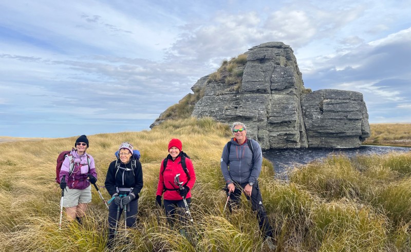
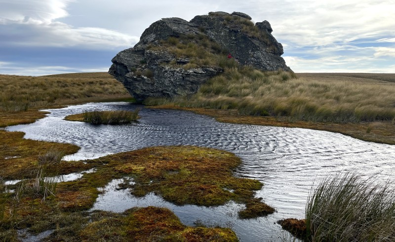
We’d arranged to meet in the Moana Pool carpark, where Jenny arrived from Oamaru shortly after 8:00 a.m., greeted by her sister Beth, a Dunedin resident, along with club members Dave Woods from Otago Peninsula, and Rodney & Helen Meiklejohn, also Dunedin residents.
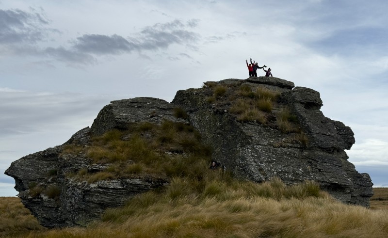
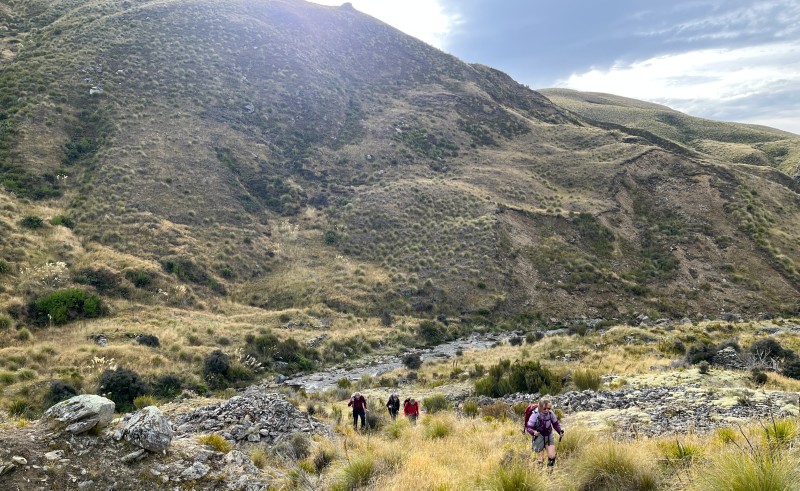
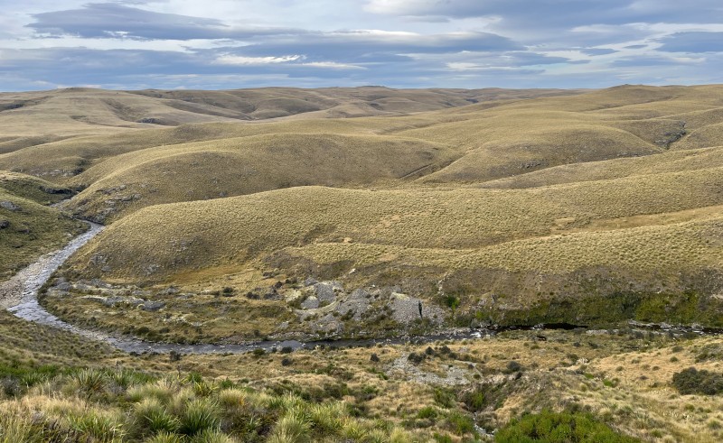
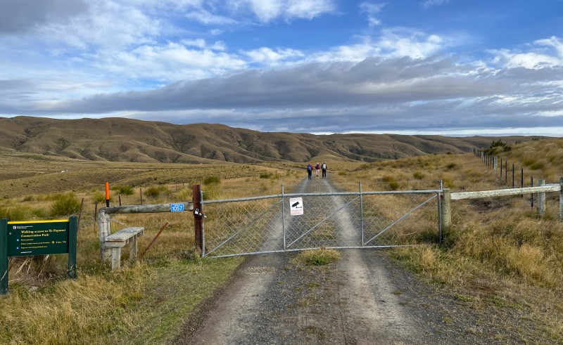
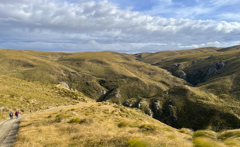
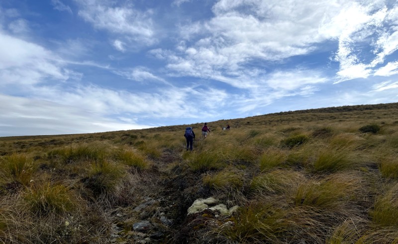
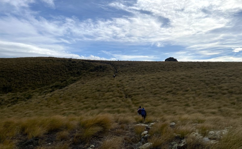
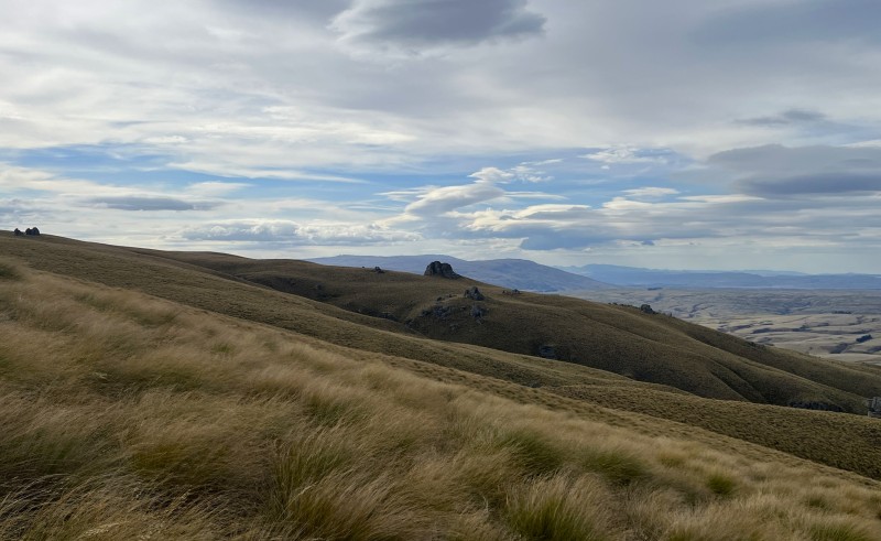
We headed out of Dunedin via Three Mile Hill and made our way out to Outram before continuing along State Highway 87 (Lee Stream – Outram Road) to Lee Stream, where we turned onto Black Rock Road, which continues onto Lee Flat Road to connect with Mahinerangi Road, a short distance from the turn-off onto Eldorado Track, leading up through the Mahinerangi Wind Farm to a locked gate at the entrance of the Department of Conservation easement to the Te Papanui Conservation Park. Here we parked our vehicles and at 9:24 a.m. headed off along the Deep Stream weir access road with a strong westerly wind already blowing. An hour later, having covered four kilometres, we’d reached the high point of the access road at 875 metres, before dropping down to the end of the road at the Deep Stream weir, Dunedin’s primary water supply. We stopped for a morning tea break before crossing the pipeline footbridge over Deep Stream to the start of the cross-country route out of the Deep Stream gorge. Initially, we followed a series of blue tapes tied to low branches marking the route out of the gorge, before sidling around to the north and dropping straight down to cross a tributary of Deep Stream. Once across and up the bank on the other side, a steady climb brought us up to the edge of the vast tussock slopes leading up to The Ship at Anchor. Rodney had been in here just two days earlier to scope out a less tussock dense route (hip-to-chest-deep in places), so we traversed across and up the slopes to the northeast to reach an old vehicle track at 915 metres, leaving a relatively easy ascent route of just 15 minutes straight up to The Ship at Anchor, ‘moored’ at 990 metres on the eastern edge of the Lammermoor Range. After a lap of The Ship at Anchor, we climbed up onto the southeastern edge of the rock to shelter from the wind, although Jenny, Dave and Helen scrambled up onto the top of the rock, struggling to remain upright to pose for a photo.
With extensive views to the Rock and Pillar Range and Kakanui Mountains to the northeast, the Silver Peaks and other coastal hills of the Dunedin area to the east, and the Mahinerangi Wind Farm and Lake Mahinerangi to the southeast, we enjoyed our scenic lunch break before setting off for the descent route shortly after 1:00 p.m. Initially sidling north around the head of another Deep Stream tributary gully, we descended east-southeast down to Deep Stream at the location of a 19th century goldmining site. The descent down reasonably shallow tussock slopes, sheltered from the westerly wind, took a little over an hour to complete, after which Deep Stream was crossed without too much difficulty. We had a quick inspection of the remaining stone walls and structures of the old goldmining site, before carrying on south along a 4WD track, leading back to a junction with the Deep Stream weir access road, which had us back at the vehicles by 4:00 p.m., completing a 14-kilometre circuit in just over 6½ hours. We drove back through the Mahinerangi Wind Farm to Outram for ice creams and refreshments before parting company.
Unfortunately, the early arrival of rain around Dunedin on Sunday morning put an end to our plan to walk a series of tracks over and around Harbour Cone on Otago Peninsula.
Many thanks to Jenny for making the drive down from Oamaru to join her sister Beth, Dave, Rodney & Helen on an enjoyable wander in a wilderness environment a bit different from the usual locations.
Rodney Meiklejohn.
Big Ben – 1370 Metres
Monday, April 13th, 2026
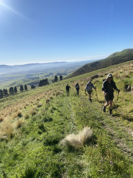
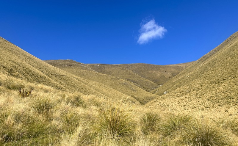
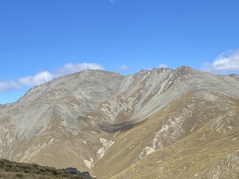
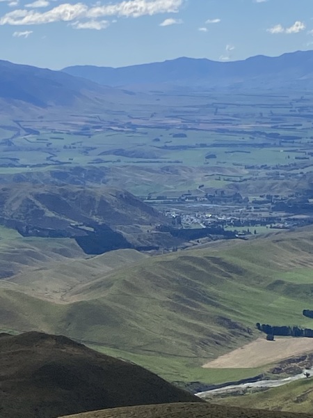
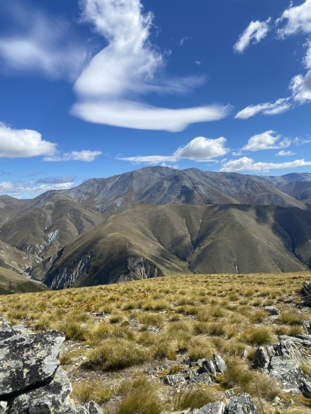
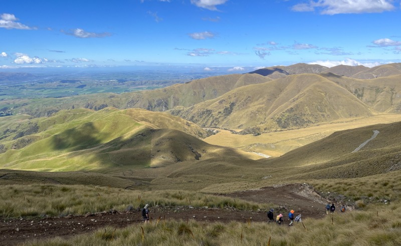
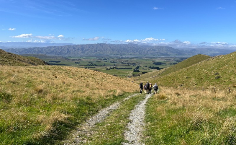
It had been 20 years since I had been up Big Ben at the foot of the St Mary Range inland from Kurow. Nine of us set off from the end of Domett Road and headed west on a farm track for about 3km over a low saddle and into the headwaters of Malcolms Creek.
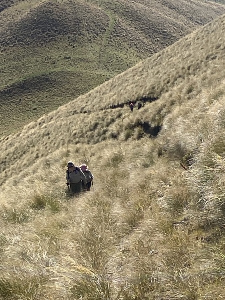
We took a small break here before starting our just under 600m climb up an old 4WD track that would take us to the top. We started up an old steep zigzag track which hadn’t been used for a while, and was well overgrown with Tussock – so it was a bit slow-going in places following animal tracks. After about 2 hrs of climbing and at 1200m the track levelled out a bit, and after another ½ an hour we reached the top at about 1pm.
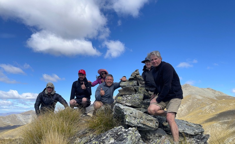
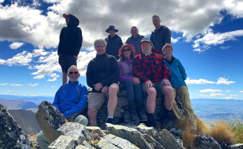
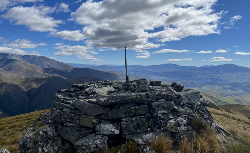
Rodney had got to the top before us, and was busy rebuilding a rock cairn he built last time he was up there about 30 yrs ago. We checked out Rodney’s cairn before having lunch at the trig station just below the summit to shelter from a cool breeze. Views were excellent, with views of Kohurau 2009m, Little Domett 1860m, the Kirkliston Range and Hakataramea Valley, St Mary Range, inland to Danseys Pass, Kurow and down the Waitaki Valley, and in the distance the high peaks of the Southern Alps including Mt Cook.
After lunch and about 2pm we headed back down the track to the 1200m point. I had permission from the neighbouring farmer to cross over to their farm and go down a much better 4WD track to a farm track that comes out from Lone Creek. From the Lone Creek track it was only a couple of km and we were back at the vehicles about 4pm, after covering 12km with an 850m climb that took us about 6hrs.
It was then back to the Duntroon hotel for light refreshments before heading home.
Thanks to the farmers for letting us on their property’s, and everyone that came and made in an enjoyable day.
Thanks to – Adam, Neil, David, Trevor, Mel, Rodney, Geoff and Mary.
–Neville
Cameron Hut
Wednesday, March 25th, 2026
Cameron River and Glacier, Otago Anniversary Weekend, 21/23 March 2026


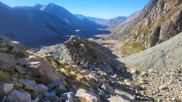






This time it was anticipated that significant glacier retreating had taken place, so we did carry crampons, axes and hard hats but did not anticipate doing the same as the last visit. It did make for heavy packs all the same with some of us also carrying tents in just in case the hut got too busy.Two exiting trampers we met warned us that kea were present at the hut, which did put us off the idea of putting them up.
The last 4 km of the walk did seem to go on longer than the previous 12 possibly because of the increase in the rate of climbing but eventually we got to a vacant hut which is not seen until you are almost upon it. It has 9 bunks, 3 high, with solar light and usb charging for devices. There was only the distant occasional kea call so one tent was erected. In the next wee while another 4 trampers turned up which meant that the hut was quite busy for cooking but the new arrivals also put up tents spreading the risk for kea attacks. One young man from Greenland complained about the weight of his pack which was over 20kg.
He had been unsure about drinking river water and had brought a weekend’s worth of bottled water.
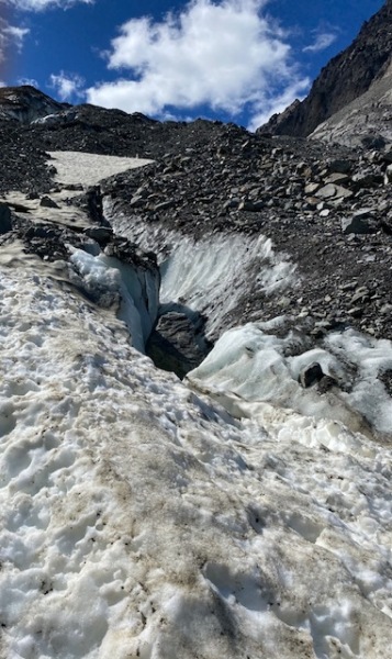
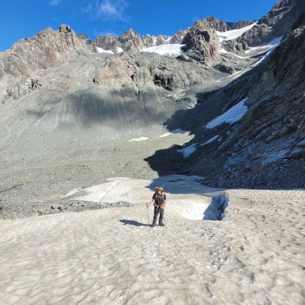
The following day we started a leisurely stroll up the ramp towards what was once the access route to the glacier, the ramp is the top edge of the moraine wall and can be seen from almost the start of the tramp the previous day. Where it runs out there had been a route onto the ice…not now, 2 of us carried on climbing to a point where it got too difficult to carry on without getting to anywhere close to the glacier. The others found a good possie to look on. After descending a bit the 2 of us then donned our helmets and went down the moraine wall to the valley floor with the aim of climbing directly up the face of the glacier which is very rocky, see photos, to eventually reach the ice and after fitting crampons having a small explore. The ice had retreated by at least 100m in height and from our new perspective we could see where in the previous visit the route for access had been, now just sheer rock plummeting to the now rocky surface of what remains of the glacier.
The spectator group had returned to the hut and the 2 of us also returned there now along the valley floor to finish the day with well deserved cups of tea and a good rest.
The extra trampers had all left at this time and we did not really expect to see anyone else there, but wait , just on dark after we were all in bed 3 others turned up and they were looking for a bed in the hut. So a full hut and all the sounds and stirrings that go with that meant a fairly sleepless night and it was with some relief that we got up at 6 and prepare for our walk out. Initially there was a thick mist around the hut so thick that it was difficult to find the loo, but by the time we left at just after 7 it had cleared and another beautiful day was here. A much faster walk because of the downward gradient meant that we were back at the cars at lunchtime feeling hungry for pies in Geraldine. Sadly they were almost all gone by the time we got there with just mutton pies in the cabinet, but we made do with other offerings and continued home feeling very please with our weekend.
Thanks to Neil, Jen, Jenny, Julian and Lynette for great company on this adventure.
Robbie