

Trip Reports
Lindis Peak
Thursday, September 28th, 2017
17 September 2017
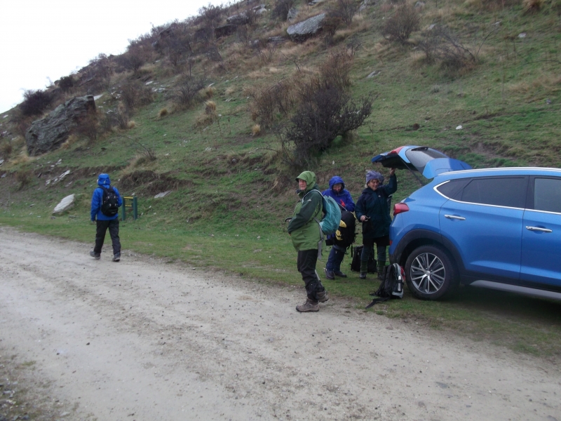
Eight of us were interested in this tramp and six of us arrived at the car park at 7.30am. The weather wasn’t great, fickle I would call it, but we all agreed that we just wanted to do it. .Omarama was our first stop the weather was cold windy wet and just YUK. A conversation took place and we decided to carry on and meet at the top of the Lindis Pass Saddle. Low cloud and fog still didn’t put us off and we continued until we turned into Old Faithful Road.
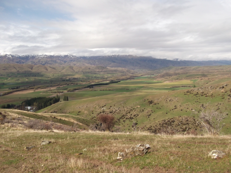
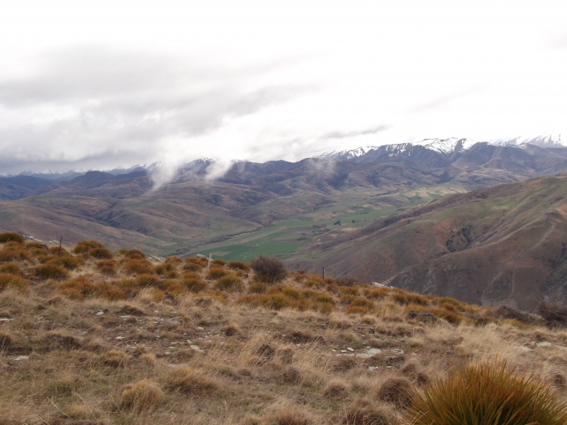
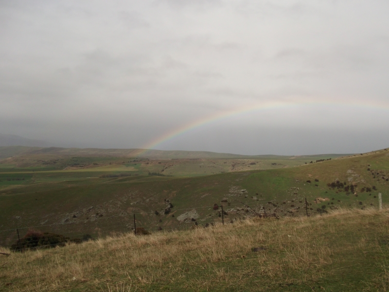
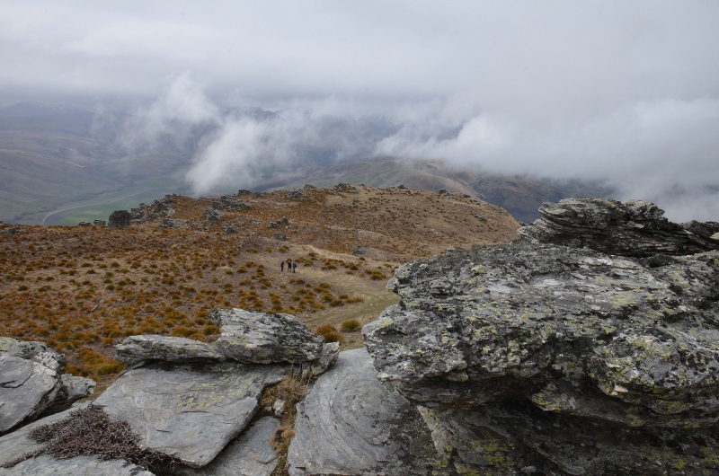
We started climbing up the 4wd track at 0950hrs with all our wet weather gear insitu. We stopped about 10 minutes up the hill when the sun shone for us and a lovely rainbow appeared. As we climbed the hats came off first, then the gloves then the mid-layer. The low cloud persisted as we climbed and the fog floated around us, as well as down in the valley far below. We had a great walk up the zig zag, then nearer the top we came across the gorgeous rock formations and the golden brown spaniards that were dotted around.
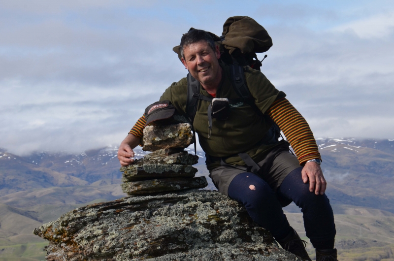
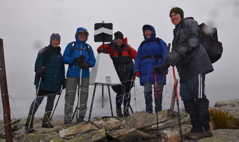
We had lunch around the schist rock area about 20 minutes from the top. It was windy cold and the view wasn’t the best. We walked across to the top to the Lindis peak took a few photos and decided we would come again in the summer. We were all back at the cars by 1430hrs and decided to meet at the Wrinkley Ram in Omarama for coffee and cake. We all had a great day and felt fit and young.
Cheers. Roz, Neville, Vicky, Michael, Jo, Jac.
Lindis Peak – 1226 metres – 17-9-2017
Six of us turned up for this day out. The weather was fine in Oamaru but there was meant to be a bit of light rain in the Lindis Pass area in the morning and clearing in the afternoon. We headed up to Omarama where the clouds were getting blacker and when we got into the Lindis Pass there was some heavy rain. We arrived at the start of the track by Old Faithful Road in light rain.
With the forecast of clearing weather we put on all our wet weather gear on and set off. After about 15 minutes the cloud cleared and the sun came out, so it was off with all the wet weather gear plus some more for the walk to the top. The track is a 4WD track that zig zags its way up a ridge to rocky out crop and then along the top to Lindis Peak. Half way up the cloud rolled back in and the wind pick up with no rain but we had to stop and put some gear back on. About 12.15pm we got to the rocky area and climbed in behind the rocks out of the wind for lunch.
After lunch it was a short walk to Lindis Peak with some great views (Not). We could see Lake Dunstan and Cromwell, but the cloud covered everything else. We didn’t stay long on top because of the cold wind but we took some photos and headed back down. On the way down the rain started again, so it was back on with the rain jackets and it stayed like this till we got back down to the car and the sun came out.
We then headed for Omarama for coffee before headed home.
Apart from the weather it was still a good day out and I thank Ros, Mike, Jo, Vicki for the company and Jac for organizing the day. Neville

A20 Bike Ride
Wednesday, September 13th, 2017
10th September 2017
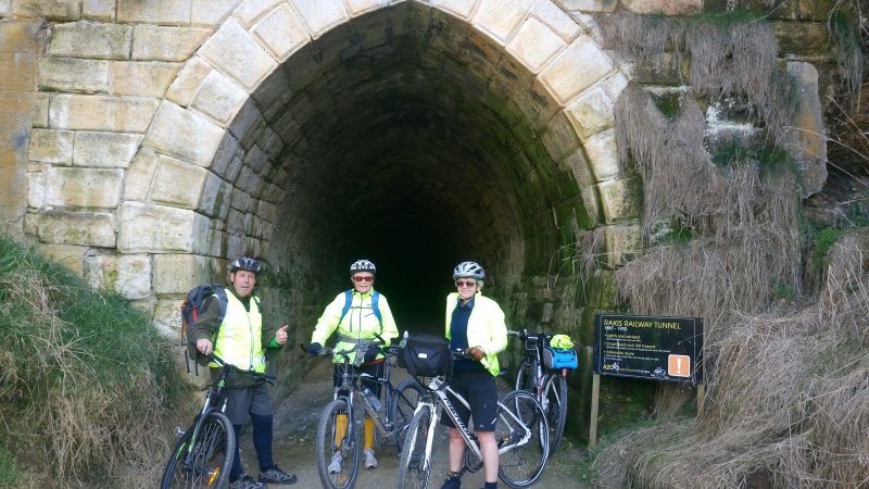
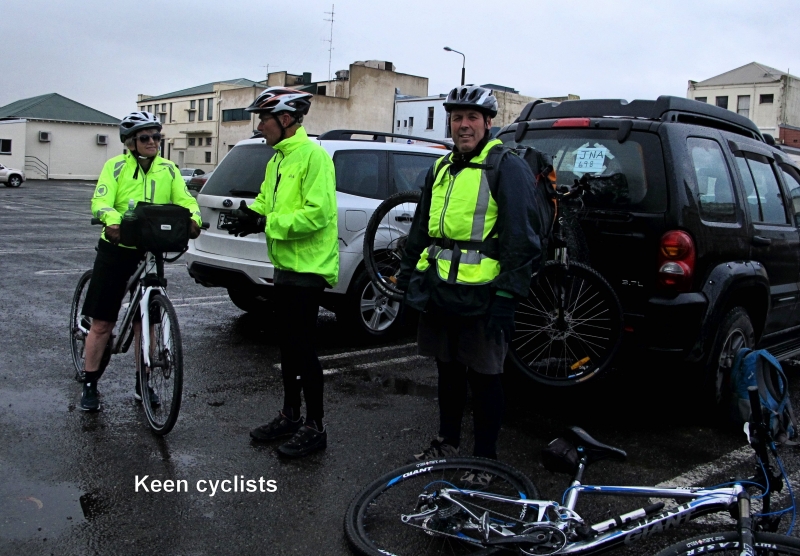
With unfavourable weather forecast, it was a surprise to have six keen cyclists out to bike from Oamaru to Raki’s Tunnel over some new sections and return on the Alps to Ocean Trail.
Suitably attired in hi-vis jackets we set off in overcast conditions carefully manoeuvring around a couple of washed out culverts on the Limeworks Straight and then onwards to Enfield where we cycled on the track where possible and then onto the road before reaching Pinehill Road.
A section of the trail is closed between Elderslie and Pinehill Roads because of damage caused by the floods in July.
At this stage the day was improving and the sun came out to warm us.
While negotiating the hill on the way to Windsor, my chain broke, but fortunately was soon repaired only to brake once again at the Windsor Hall. Meanwhile, Bron, Jane, Lyn and Neville continued cycling along a new part of the trail which eventually met up with the old railway line and onto Raki’s Tunnel. This new section eliminates riding up the gravel Peaks Road and down a slippery hill ( if wet) to join the trail in a pine forest.
After some more repairs using the last available pin for the chain we set off again to try to catch up with the other group.
A large slip has come down and formed quite a large lagoon at the other end of Raki’s Tunnel. However it is still negotiable by dismounting and pushing the bikes around a rough track on the edge.
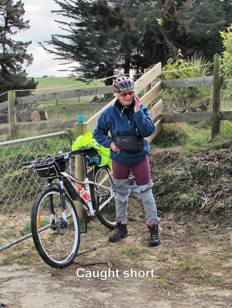
There was no sign of the advance party at this stage. They had decided to continue up Tunnel Hill Road whereas Maurice and I went on ahead to Victoria Hill Road and upon seeing no fresh bike tyre marks in the gravel we soon realised that we had become separated. This was confirmed with a phonecall.
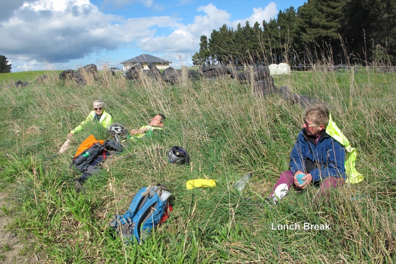
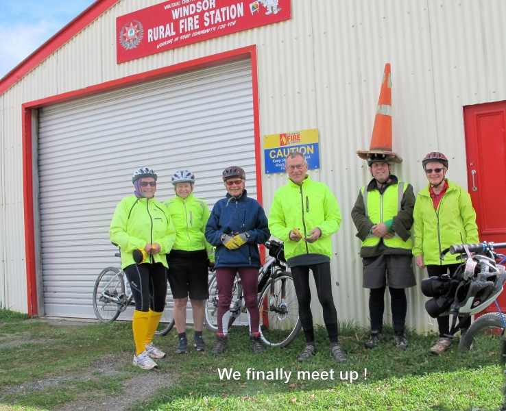
From Victoria Hill we took in the views back towards the new part of the trail that we had cycled over earlier. The other four sat in sunshine on the side of Peaks Road and ate their lunch. We then all met up again at the Windsor Fire Station after all enjoying some long downhill sections on the gravel roads.
The skies had become very black and just after crossing the Enfield Bridge we were pelted with hail which then turned into rain. It was heads down and feet pumping the pedals to get to Weston for afternoon tea, arriving at about 3pm. For four it was back on the bikes again to get to the carpark in between the showers.
On average we cycled about 55 kms for the day and apart from a broken chain (twice), separation, a hail storm and rain, thanks go to Jane, Lyn, Bron, Neville and Maurice for an enjoyable ride.
Phyllis.
Mt. Studholme Kelcey’s Bush
Saturday, August 26th, 2017
20 August 2017
This is a trip that I did about 8 years ago. On that trip we started out on the Gunn’s Bush walking track and then bush-bashed our way up a ridge into the forest and on to a forest road. From there we followed the road up on to the main ridge about 2km south of Mt Studholme and then we followed the ridge up on to Mt Studholme.
So with this trip in mind I put it on the programme again since it had been a while since we had been there.
About two weeks before this trip I went up to check the route out. I found the ridge up out of Gunn’s Bush, got into the forest but as I got up a bit I came across a new tree plantation. Over the last 8 years they had cut down the old trees and replanted and there was no quick way of getting through to get up on to the road. So I changed my plan for this trip by having a car at the locked gate on the forest road and another car at the bottom of the main track that goes up to Mt Studholme.
Anyway after all this planning the day of the trip the weather was crap with low cloud and drizzle. I headed down to the car park meeting place to see who was keen for a day out and low and behold two other members had turned up and I had a phone call to say that two other club members would meet us up there.
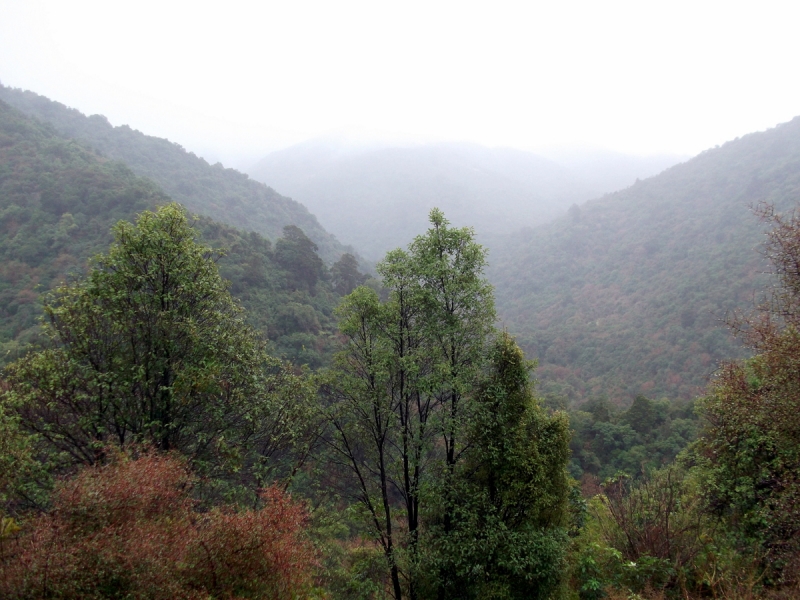
After a short discussion it was decided that Mt Studholme was out for the day and it was decided we would go to Waimate and do some of their bush walks. We met our other two members at the start of the Gunn’s Bush track. This track is about 4km long and the bush is some of the oldest bush in Waimate with some big old Totara and Miro trees. This is a loop track with some really nice bush and a good track.
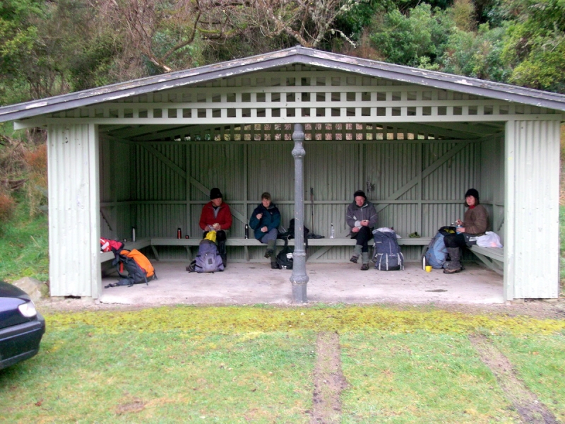
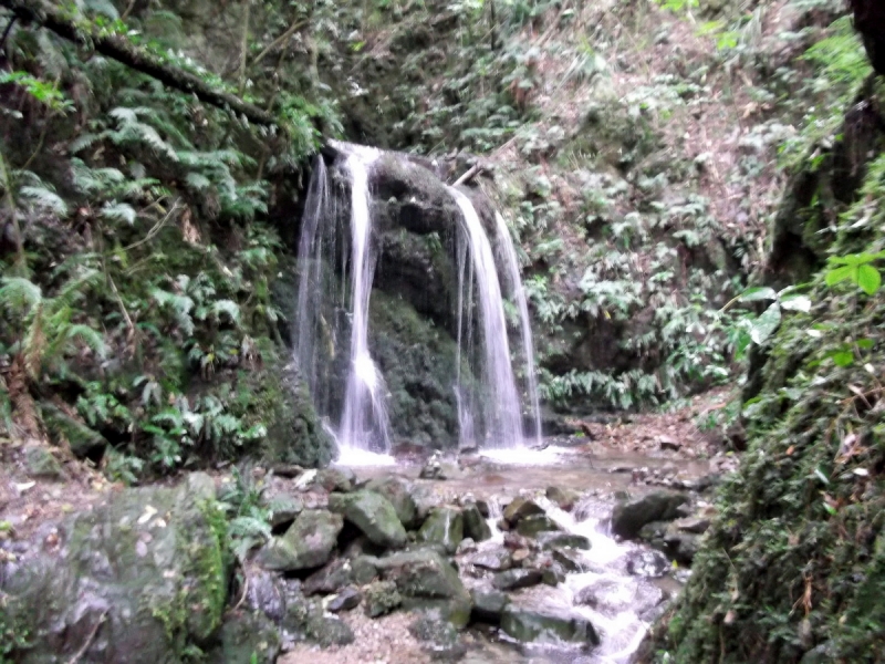
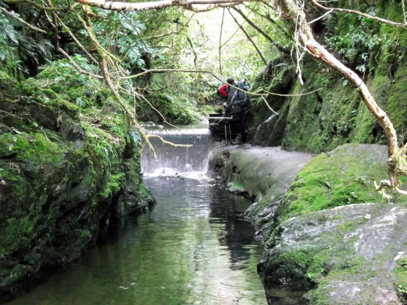
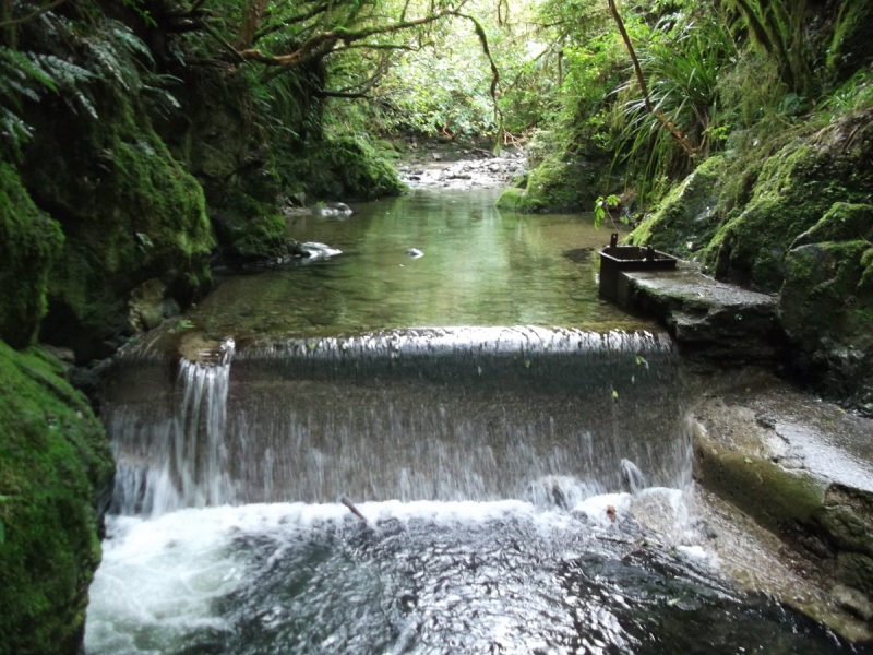
After we got back to the cars we decided we would head over to Kelcey’s Bush and go to the waterfall and the old Waimate water intake. We got over there and there was a bit of light rain so we took an early lunch break in the picnic shelter. After lunch we did the short walk up to the waterfall for a look and we also explored a bit of the area of bush above the falls.
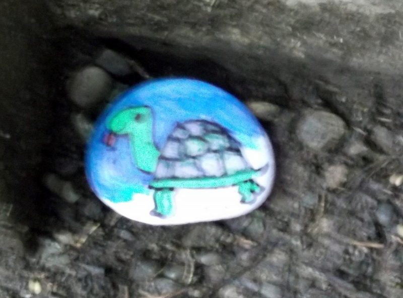
It was then back to the main track and up to the water intake. I had tried to get to the intake many years ago but the tracks were all over grown then, but now the tracks are all very well maintained and in good condition. A great place to go for a short walk with a lot of history. Also along these tracks we had seen a lot of painted stones so some people had been busy.
It was now mid afternoon so it was back to Waimate for a coffee stop before heading home, so Mt Studholme will keep for another day.
Thanks for coming out Kate, Peter, John and Jac – Neville
Twizel Mid-Winter Weekend
Monday, June 26th, 2017
17-18th June 2017
Saturday morning we started off with the obligatory coffee at the Wrinkly Ram before 7 people headed up to the North Temple for the afternoon. The weather was fine and a few weary bodies returned to Twizel late in the afternoon. We then enjoyed a delicious potluck meal at the High Country Lodge, then some played Doo Dah and some sorted out the woes of the world.
The weather on Sunday wasn’t so fine but a few keen souls headed up towards Flannagans Pass direction although this proved to be not quite so straight forward in the mist. Mid afternoon we returned to Oamaru via the Wrinkly Ram. A great social weekend.
Karyl, Bess, Chris, Maurice, Phyllis, Mark, Neville, Jane, Graham and Roz.
Swampy Summit
Tuesday, June 13th, 2017
Sunday 11th June.
With Winter temperatures on hold, it was a nice day for taking in the fantastic views and the outstanding colours and varieties of the bush. All this in a few hours easy walk from the car park at the top of the Northern Dunedin motorway. Leaving the park at 9:30am and with a short walk down Waitati Road to the beginning of the Pipeline Track, which we followed, we viewed some great examples of tree fuchsia along the way.
Rustlers Ridge Track follows on from the end of the Pipeline, climbing a steady gradient to a lookout open point, where we had a smoko break. The first of many views of the surrounding countryside was to be had including Silver Peak, Rocky Ridge and the Gap. On the move again we soon came to the fourway junction with lots of options. We decided to continue on the Rustlers Ridge Track leading up to Swampy Road, arriving to take in more expansive views including Mosgiel, Taieri Plains and further West to Central Otago. With a cool breeze at our backs an easy walk along the road followed, observing the many structures on the way, one of which was a fog/mist moisture measuring device. Lunch spot was on the sheltered side of a building beside the road. From here new views emerged of Dunedin and the coastline, while further along the road we connected with the Swampy Spur and Leith Saddle Tracks. Another viewpoint from Trig S provided yet more land marks, Mopanui, Orokanui and Blueskin Bay. Finally the last section of track is gravelled and bordered giving us time to take in this truly wonderful stand of native flora and also several New Zealand cedar trees. A pleasant surprise near the end of the track awaited as we met up with fellow club members, Rodney and Helen who had come up from Dunedin to check on us. After a debrief with them we set off homeward bound stopping for the mandatory ice cream on the way.
This was an easy 5hour walk for Bill, John, Mark, Bronwyn, Maurice and Phyllis.