Trip Reports
Shag Point and Pukehiwitehi
Wednesday, September 28th, 2016
18 September 2016
It’s good to have a local ‘ easy flat walk’ on the programme, so Shag Point with an option of a climb up Puketapo seemed a good plan. The walk out to the boat harbour along the rock shelf must be North Otago’s best kept secret. The walk did live up to seeing the amazing geological formations, but it was slippery, and took more effort than maybe expected to clamber over the rocks etc. The seal colony was much depleted in comparison to other times I have been there. We explored for signs of the coal mining as we went up a hill to view the Shag River mouth. Attempts to find a short-cut back to the cars through the forest failed, but what with the differing cribs and sussing out where the rail track may have gone, the road walk passed without too much boredom.
All were keen to climb Pukehiwitehi as Puketapu was closed for lambing. So following Jane M instructions we headed over the maim road. We did not actually find the driveway but we got over the railway line plus fence to scramble over cleared forestry rubble until hitting a forestry road, and eventually onto a road that leads to the top. There were excellent views Northwards until close to the top. Here we found the remnants of the majestic monument to McKenzie until it fell over and was replaced at Puketapo. Jane had given us the co-ordinates of the ‘tumbled down hill bits’ but after a short hunt, decided that it was too steep, slippery and the GPS’s were not happy with all the trees overhead. On our return journey we endeavoured to find the correct entrance, but again were unsuccessful. Thanks to Rodney for these web sites:
https://paperspast.natlib.govt.nz/newspapers/OW19021112.2.97.1
http://hockensnapshop.ac.nz/nodes/view/35392
It was an interesting more casual day, and it’s always fun to go somewhere new and conquer another peak even at if only at 227m. Thanks for the company of Helen, Rodney, Bill, Maurice Phyllis and Sharon.
Jane


Beyond Trotters Gorge
Wednesday, September 14th, 2016
Sunday the 4th September 2016
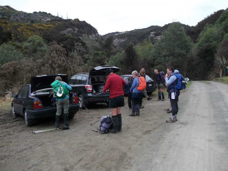
Five of us met at the car park at 8am and headed down to the Trotters Gorge Reserve. I picked up John and Jane on the way and when we got to the Reserve we were met by the Rickerby family. Karen is the daughter of one of our previous club members Dave Sinclair who passed away about 10 years ago too young. Karen had heard about the track the club had named after her dad, but had never been up it before, so it was a nice thing for them to do on father’s day.
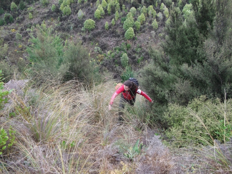
The day was cloudy and cool so it was on with the day packs and we headed off up the valley. Trotter’s creek was running a bit high so it was wet feet all round with the 6 creek crossings up to the start of Dave’s track. The club had spent a day in February cleaning up the track and it looked like it had been well used since then. Everyone enjoyed the ½ hour hike up the marked route and a snack break was taken when we climbed up out of the valley. It was then on to the forest road and up past South Peak.
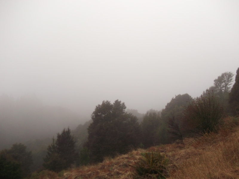
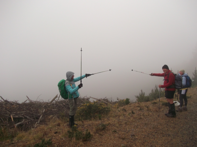
A cool wind had now picked up from the nor/east, so it was good to find the track back in the forest that goes past North Peak. By now the mist and fog and a bit of drizzle had set in so it was no use in climbing up North Peak for any views. At this point we split into two groups, with Maurice, Phyllis and Ross taking the Rickerby family back. They headed back around South Peak, down Fantail Rd and had Lunch at the University Hut before heading back to the cars.
Our group of four carried on to see if there was still a track out onto the top end of Easons Rd. Last time I was up there the track we had used was covered in gorse, but the track we were on was a good track and we had seen the old track but it looked a bit over grown.
So we stayed on the good track and soon we popped out onto Easons Rd about 3km down from the communication tower.
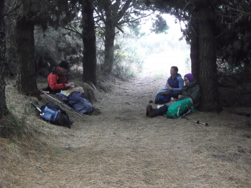
Our plan was to walk up the road to just before the tower and take another track down to Pigeon Bush. The wind, mist and fog were not going to make it a good walk up the road so we popped back into the bush to have lunch out of the wind where we decided we would go back to South Peak and drop down to Pigeon Bush from there.
On the way back we had great views not but we were soon on the track down to Pigeon Bush which was getting a bit over grown in gorse in places.
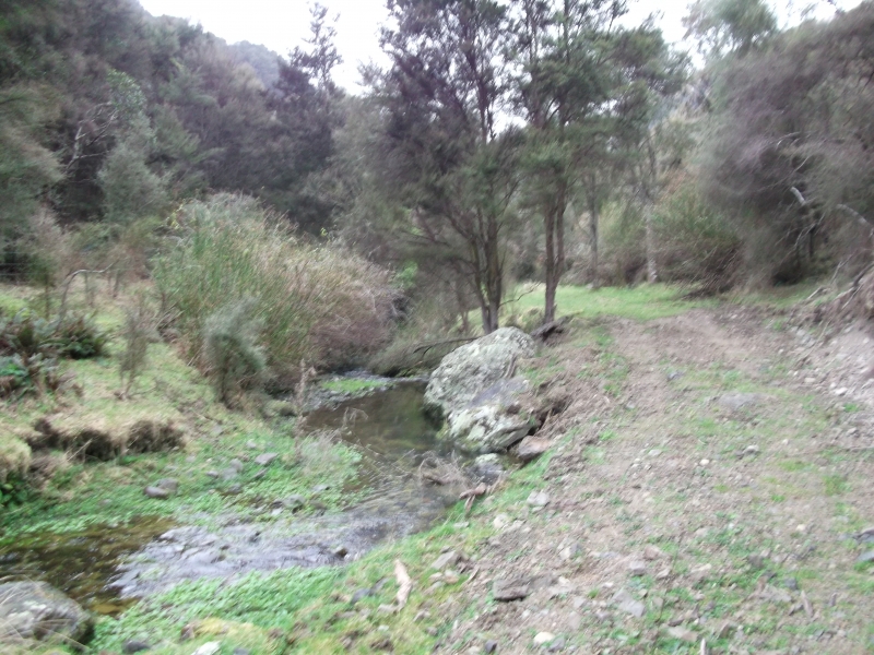
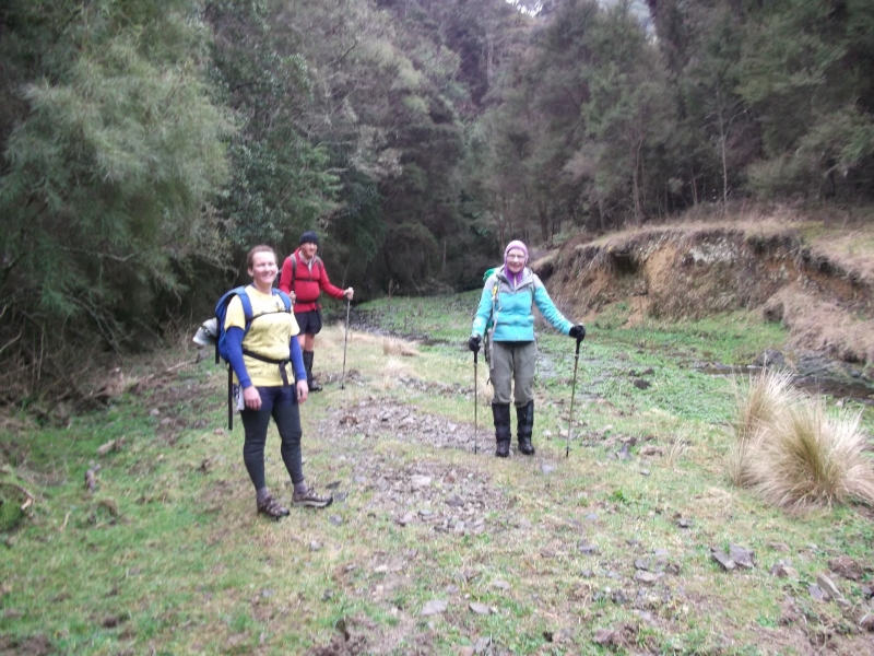
We had permission from the farmer to follow Pigeon creek down through the gorge with plenty of creek crossings and wet feet along the way. We soon met up with Trotters creek which we followed back down to the University hut, where we had a break before heading back to the car. The whole day took about 6 and half hours and about 19km.
Thanks to Maurice, Phyllis, Ross F, John, Jane, Debbie who was out on her first Club trip and Karen, Georgia, Riley, Marek and Nigel for their company for the day
Neville
Mount Difficulty
Thursday, September 1st, 2016
Sunday 28 August 2016
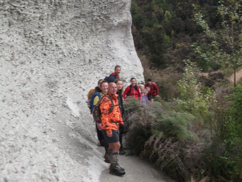
The promised fine weather window developed after some heavy rain earlier in the week. Six trampers from Oamaru drove the 35km to The Dasher , meeting up with Rodney and Helen on the way. We were met and briefed by the runholder, Grant McNaughton and set off west just on 9 o’clock. The initial stage took us across country on farm tracks, then down a steep tussock ridge to the Kauru River at its junction with Hughie Stream. On the way down we heard the barking of hunters’ dogs further up the Kauru valley. The Kauru River at this point runs through a deep, steep-sided valley – almost a gorge – heading in a straightish north-easterly line towards Kauru Hill along what is clearly a geological fault.
It was now 10.30 so the riverside seemed a good spot for smoko. The next stage was a steep climb up a zig-zag, followed by alternating flatter stretches and further climbs which, an hour later, brought us out on to the plateau surrounding Mount Difficulty on the west and north. Looking across the many-headed Hughie Stream we could see Mount Hut by a lone pine tree sitting in a shallow saddle below Mount Difficulty. The hut looked like the perfect lunch destination but, the further we went, the further away it seemed to get. Eventually, after traversing up and down around the Hughie headwaters, we reached the hut four hours after the off. It was indeed an excellent lunch venue – cosy but with seats for all and the luxury of an open-air dunny to boot.
At 1.30 we set off on the gentle, half-hour climb across tussock and rocks to the top of Mount Difficulty. Time for photos and taking in the 3600 panorama from an unfamiliar viewpoint, and we started down off the east end of the hill towards a track and fenceline we could see below. The track took us back down to the Kauru River which we crossed easily an hour after leaving the top. There we had a choice: the traditional route up Mackerras Creek or a shorter but much steeper track up a spur east of the creek which would take us more or less directly back to the cars. We opted for the creek – it promised to be easier going (we had plenty of time) and we could go past the historic slate quarry (mined by the Otago Slate Company in the late 1800s to supply roofing material for the burgeoning city of Dunedin). Another hour’s steady climb took us to the top of the valley to complete our circuit and, after another fifteen minutes, we were back at the cars by 4.30.
The total trip was just on 21km and took 7½ hours, about 6½ hours of which was on the move. We had climbed (and descended) over 1000 metres. Although most of us had been to Mount Difficulty before, the route we had taken was new to all of us. An excellent day, with fine weather, great views and a good workout for Jane, Anna, Helen, Rodney, Neville, Ross, Sam and John. Thanks to Grant and Charlotte McNaughton for their hospitality.


Mt. Somers
Wednesday, August 24th, 2016
20th-21st August 2016
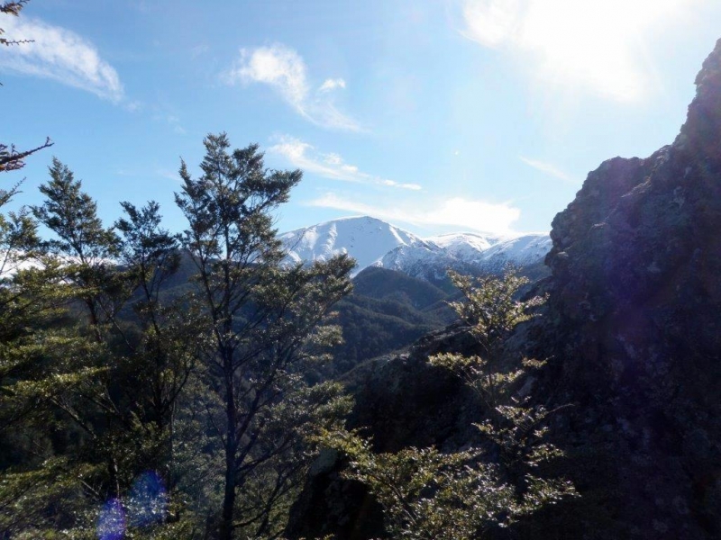
A weekend to Mt Somers/Pinnacles Hut in fine weather was a much more attractive option than the scheduled trip two weeks previously which was postponed
A party of nine with some new faces met at North Oamaru and set off at 8.15am heading for the Staveley entrance to the Mt Somers Track.
Many cars greeted us at the carpark and there was some doubt as to whether we would all get a bed at the Pinnacles Hut for the night.
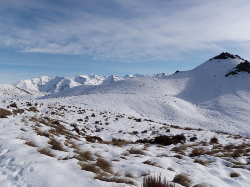
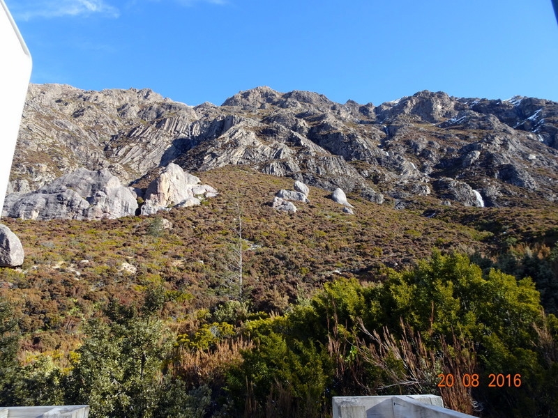
With heavy packs loaded with great desserts for our pot-luck feast the party split into two groups, the main one taking the walkway valley track while Uwe, Jane M and Maurice ventured along the South Face and up to the Mt Somers summit
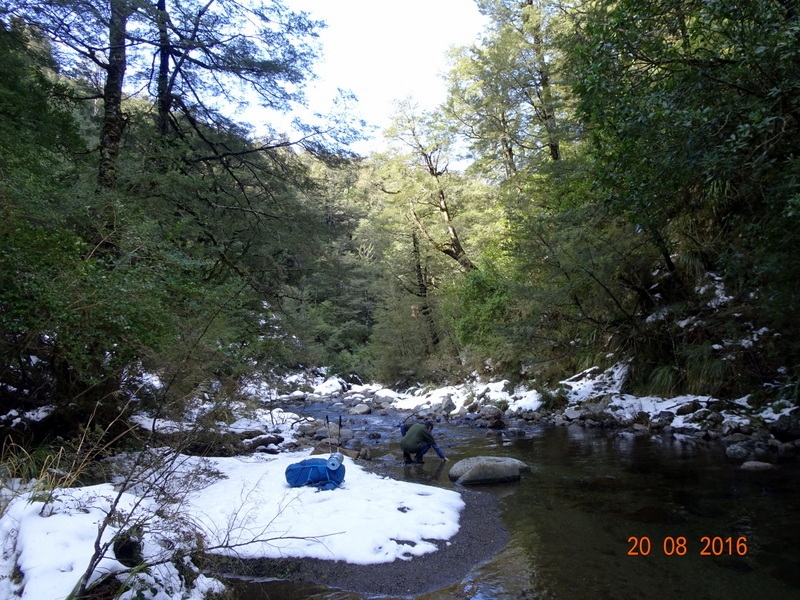
.For the main party a snack was taken on Duke Knob before descending to the Bowyers Stream where progress on the well used trail was much slower because of compacted snow which made conditions very slippery in places.
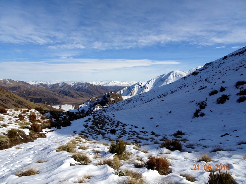
.Meanwhile, the summit party had donned crampons and reached the peak to take in the perfect views all around. Radio contact was made between each other to make sure all was well and after about 1km of plodding in deep soft snow the summit party located the cairn indicating the place to descend a steep face with bluffs and gullies to connect with the walking track on a saddle above the Pinnacles Hut.
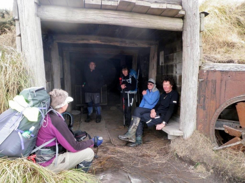
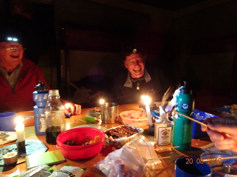
The main party were now installed in the hut and had it to themselves.With some help from Robbie and Phyllis back up on a saddle some advice was offered via radio on the best route down for the summit party who eventually arrived at the hut ready for a hot brew. John and Neville had the fire going which made for a very comfortable time as we prepared dinner and produced the special pot-luck desserts.
A great variety was forthcoming with cheesecakes,marshmallows dipped in chocolate,custard sponges dried apricots, chocolate coated ginger,a mixture of cranberries,crushed meringues and cream,chocolate coated rum treats from Germany complete with candles, a bottle of port and last but not least John’s speciality, a can of cream which seemed to get sprayed on most things edible.
With much hilarity and bulging stomachs we bedded down for the night.
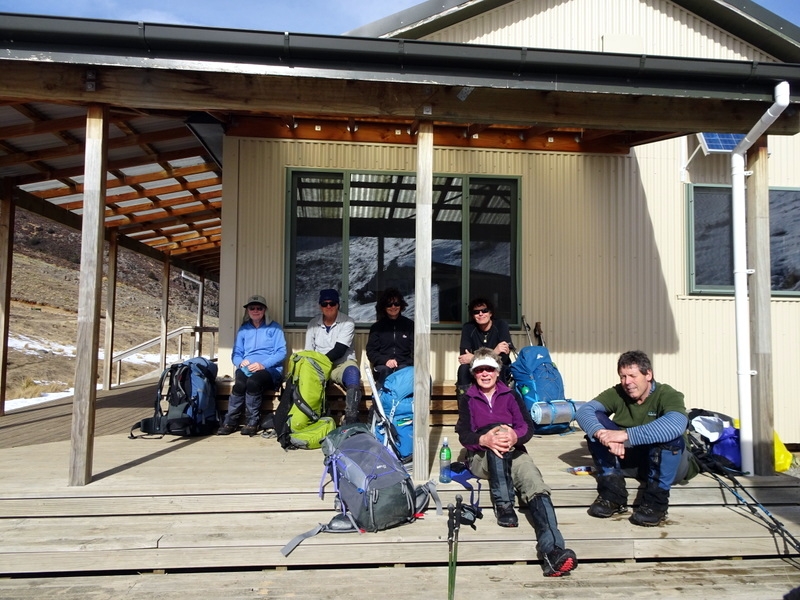
On Sunday, Uwe, Fiona and Maurice left to go back out to the Staveley carpark and drove around to the Woolshed Creek carpark to pick up the rest of the group which had walked through from the Pinnacles Hut via Woolshed Creek Hut and the Miners Track.
Snowy conditions both ways made for a cautious walk with a few slips and face-plants but all arriving safely.
With an ice-cream/coffee stop in Geraldine we arrived back in Oamaru mid afternoon after an enjoyable weekend in the company of John, Jane M, Jane G, Neville, Robbie, Fiona, Uwe, Phyllis and Maurice.
Mt Trotter and Mt McKenzie
Wednesday, July 27th, 2016
17th July 2016
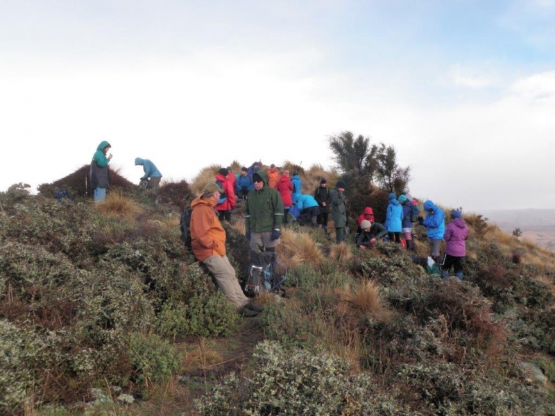
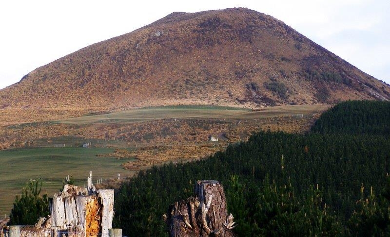
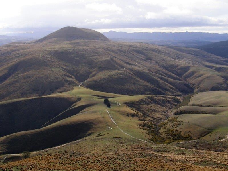
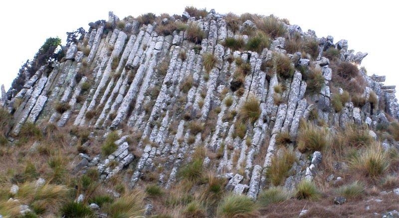
After meeting the five Otago Tramping and Mountaineering Club members plus Helen and Rodney at the turnoff south of Palmerston, we continued up Mt Trotter Rd, through the locked gate and parked at the Woolshed. Introductions were made between OTMC and NOTMC members and then off to a good start and up the east side of Mt Trotter. We grouped together at the top and at this stage, two of the OTMC members chose to return to Dunedin as they did not want to miss an astronomical talk. The remaining 22 went down the south side of Mt Trotter and then heading west along the fenceline to another fenceline which goes south east down the ridge. The party spread out and some were half way up Mt McKenzie before the others had arrived. Everyone reached the top of McKenzie by 12pm which is where we enjoyed lunch out of the cold south westerly. Brent told us the story of when he worked on the farm and on his motorbike he rode up Mt McKenzie – he came down too – not as intended. So after lunch, over the top and down the south side and around to the east where the columnar volcanic rock displays itself – it is quite unusual. At the bottom of McKenzie, we followed a 4WD track back to the pine trees and then on a lower terrace it continued back to the vehicles at the woolshed. We stopped at Hampden for an ice cream and a chance meeting with Bill and Pat, before heading home.
Many thanks to those who braved the cold wind and rain.
Peter, Leonie, Lucy, Nathan and Christine from OTMC; Helen and Rodney, Linda, Jac, Ros, Sylvia, Ewe, Els, Jane, John, Phyllis, Maurice, Robbie, Noel, Bronwyn, Brent, Maria, Dean and Bess