Trip Reports
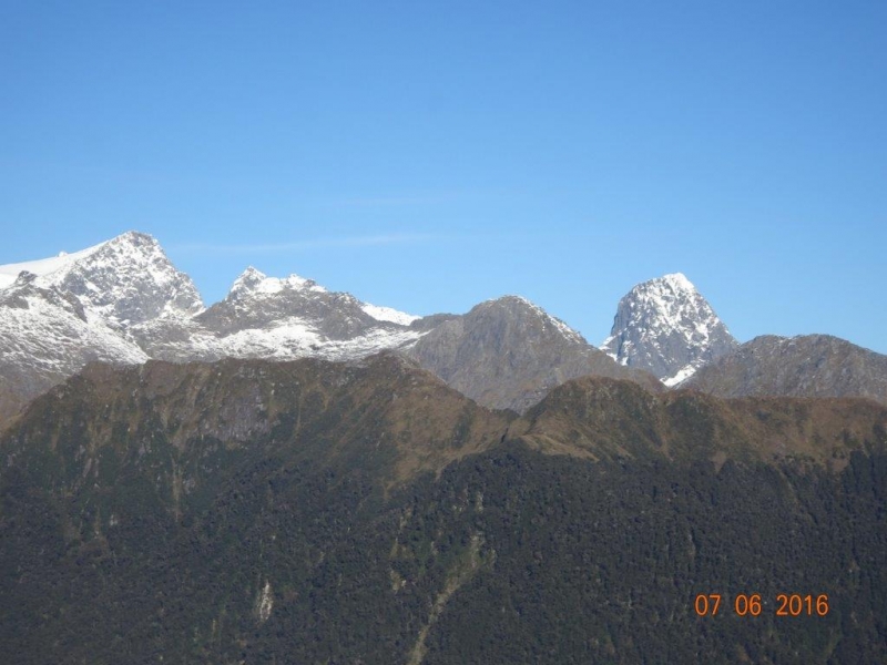
The Hollyford 2016
Thursday, June 16th, 2016
Arriving in Te Anau in anticipation of good weather and a good tramp, we descended on the Te Anau Club for takeaways. We stayed at the Lakeview Holiday Park and the accommodation was fantastic.
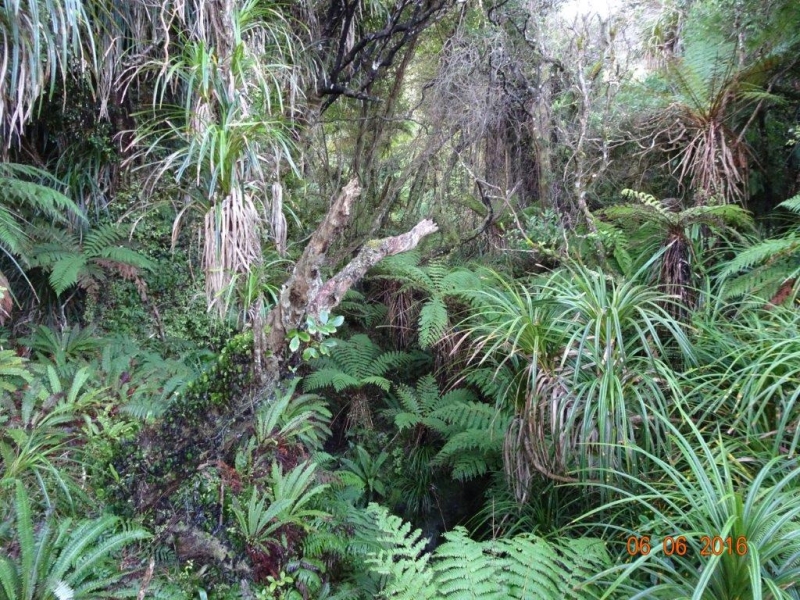
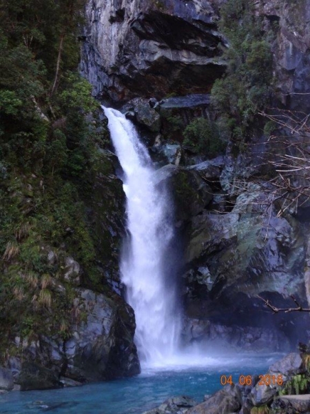
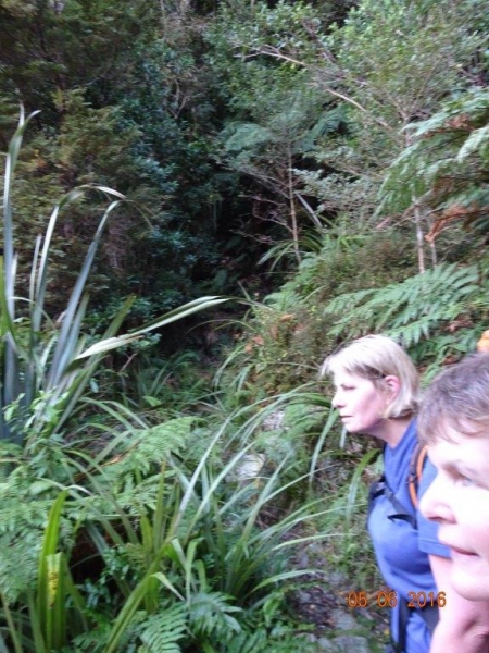
Day 1: We arrived at the Hollyford road end approximately 10am and before starting, we did a short walk to the Humbolt Falls. En route to Alabaster Hut, we met several parties coming out and we also took in the Hidden Falls. The track is mainly through bush and six hours later we were at Alabaster Hut. The fire was on and beds available.
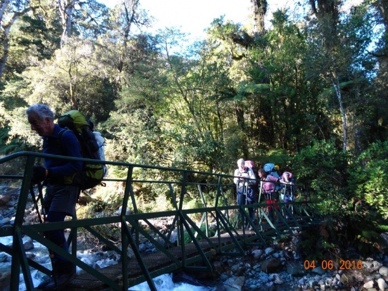
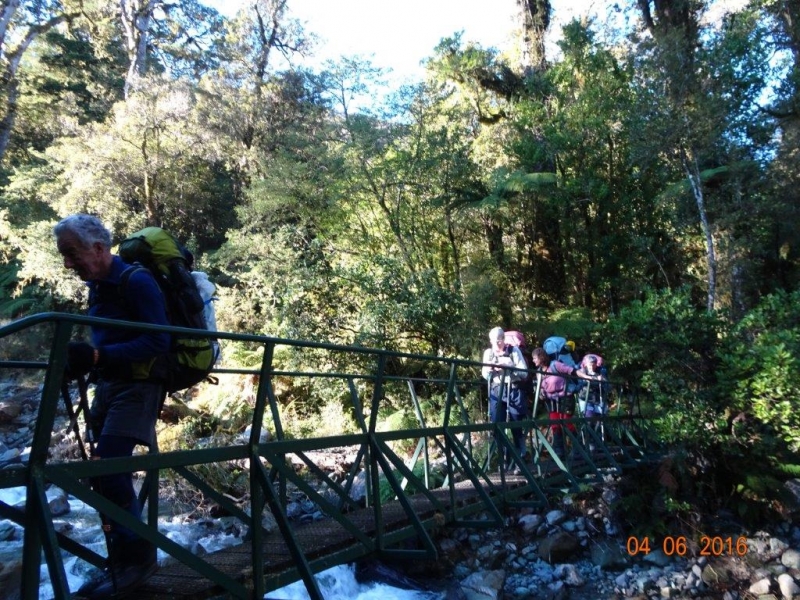
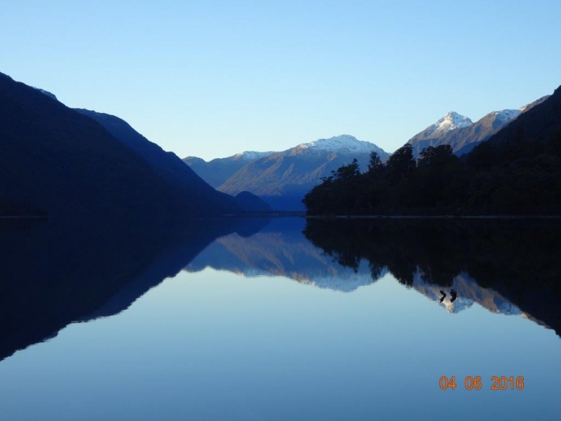
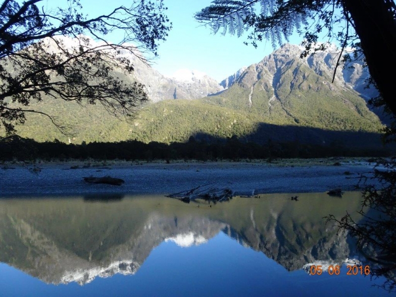
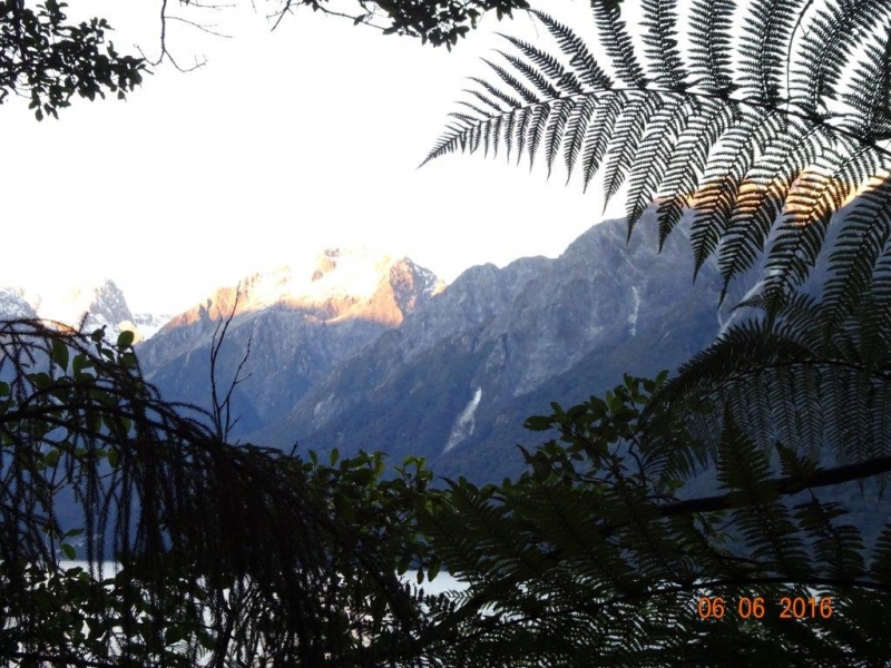
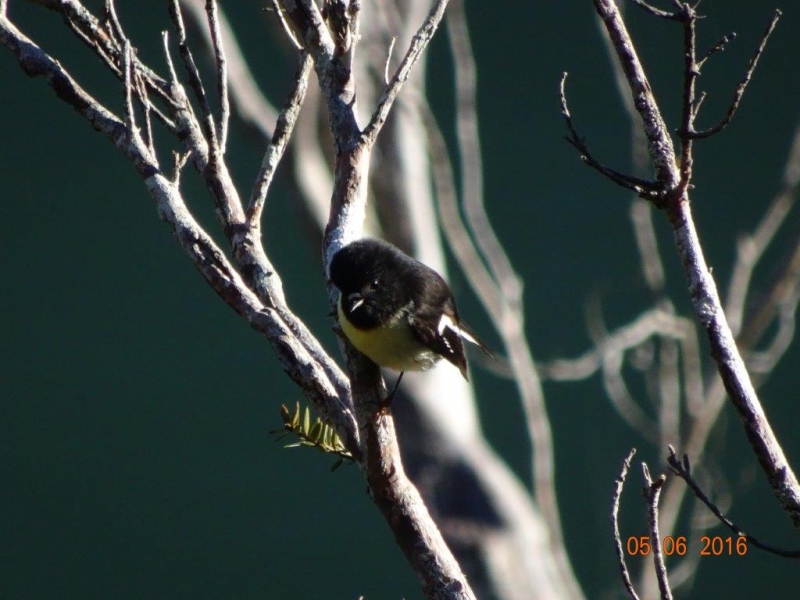
Day 2: We left the hut at 6.30am so were walking in the dark for about 1.5 hours. The track became much rougher after crossing the Pyke swingbridge. The 6 hours from Alabaster to Demon Trail Hut was an undulating rocky track with tree fall. We arrived at Demon Trail Hut at 12.30pm. As it was another 5-6 hours to Hokuri, it was decided to stay at Demon Trail Hut for the night. The sunny afternoon with Tomtits, Tuis, Fantails and an amazing view over Lake McKerrow gave everyone a well needed boost. The sandflies loved Bill. With the fire on in the hut, we all had an early night in anticipation of a big day the next day.
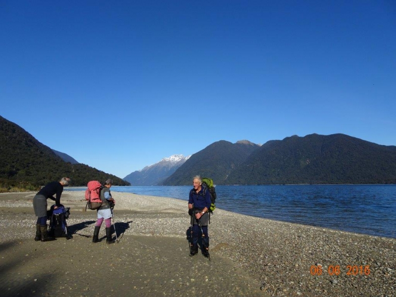
Day 3: On the track at 6.30am, we crossed several three wire bridges. The Rainbow Creek swingbridge had been damaged by tree fall, so we found an alternative route. The Demon Trail is a rocky undulating route which can get tiresome so everyone was glad to see Hokuri Hut. A brief lunch here and then the route took us down to Lake McKerrow and alongside the lake for two hours. We stopped in to see the Wilderness Homestay, Charlies Place, which is only open when they have bookings. The bath is outside and half filled with water and frozen over, however there is a copper to heat the water!
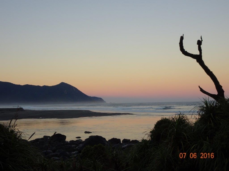
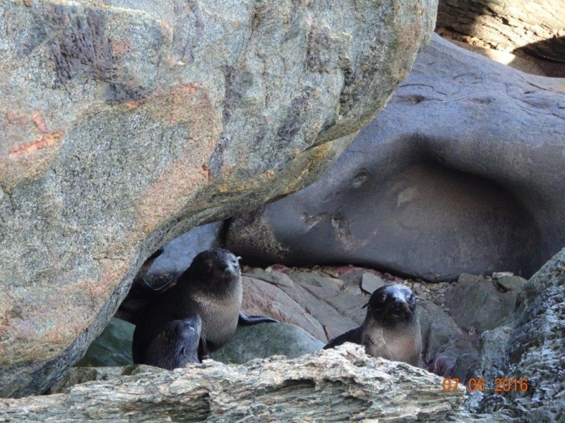
Further along Lake McKerrow, is Jamestown, a settlement where Hugh and Malcolm McKenzie grazed cattle and drove them to saleyards at Mossburn, 250km away. They sold out to Davey Gunn in 1926. We continued through bush and it opened out to grass flats, including the airstrip. Late afternoon, we arrived at Martins Bay, with Kate chopping wood. The NZ Fur Seals were lapping up the sunshine and having “playtime” together in a swimming hole. The tramp in had not been easy and so, there was a real sense of achievement for all of us. There had been blue skies, sunshine and no wind for the entire weekend – for Fiordland, this was unbelievable.
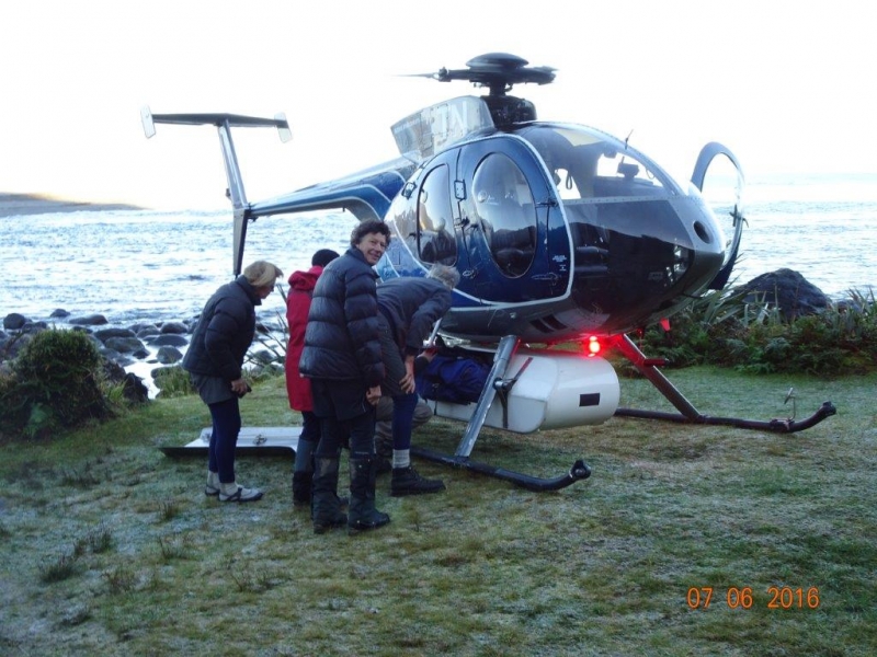
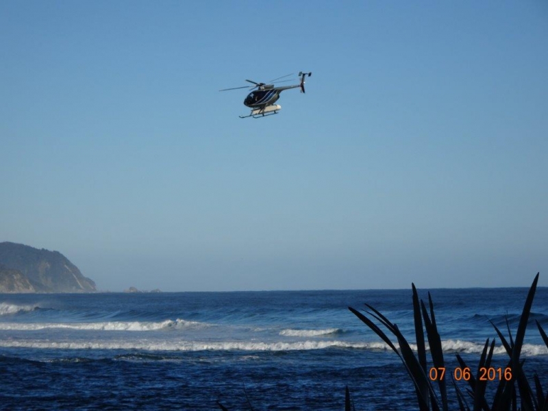
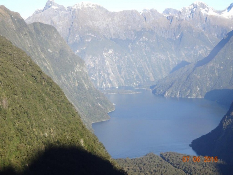
The helicopter flight to Milford Sound was brilliant. Tim’s brother, Nic gave Robbie and I a ride back to the vehicles at Hollyford road end, and after some car shuffling, we headed home.
Many Thanks for being such a resilient and fantastic group to go tramping with.
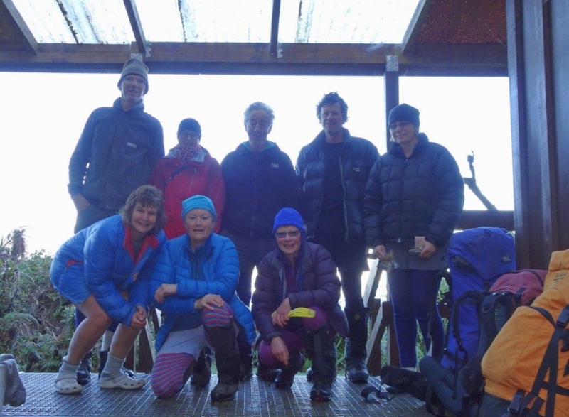
Robbie, Kate, Jen, Tim, Bronwyn, Bill, Jane and Bess
A2O Windsor to Oamaru Bike Ride
Monday, May 30th, 2016
29th May 2016.
After a good soaking of rain on the previous day, I decided to postpone the bike ride from
Duntroon to Kurow as there was a possibilty of water in the crossings of the Otekaieke, Otiake,
and Kurow riverbeds. Instead three keen riders set off from the carpark at 8am in fine but overcast
conditions to bike to Windsor and return on the Alps to Ocean Cycleway.
Bill met us at the Weston Limeworks, as we cycled on the old railway embankment and over an
impressive new bridge towards Enfield.
The track meandered through farmland and around small streams which had become swollen after
the recent rain. At Elderslie we admired a huge pile of foam that had builtup at the bottom of a
small waterfall.
Light rain began to fall as we took a break for morning tea outside the fire station at Windsor.
On the return to Oamaru we were met at the top of the Windsor hill by Bev and Dave and by this
time the rain had stopped.
We arrived back in Oamaru just after midday after cycling 42 kilometers
Thanks to John, Bill, Bev, Dave and Maurice for braving the unpredictable weather.
Phyllis.
Kakanui Peak
Saturday, May 21st, 2016
Sunday the 15th May 2016
Seven of us meet at the car park at 7am on a cool and cloudy morning. The forecasts were for cloud in the morning and a wee bit of a shower in the afternoon. We all headed off with three more getting picked up on the way so by the time we regrouped in Palmerston our group of trampers was now eleven.
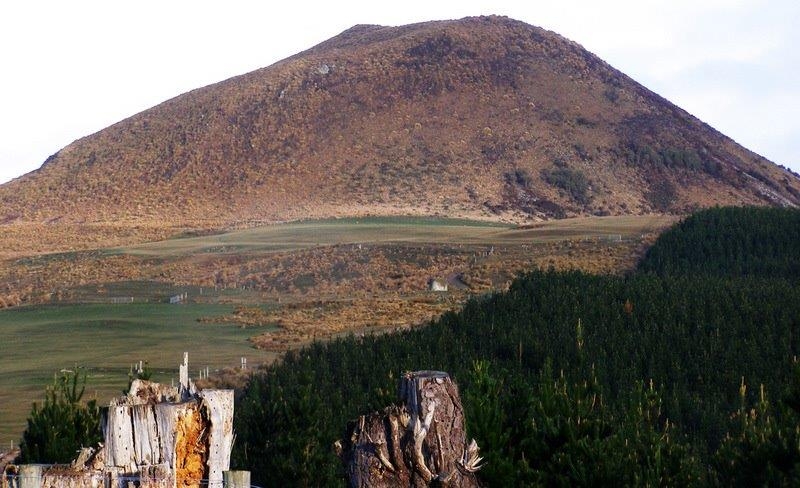
We drove through the Pigroot to the last crossing of the Shag River, just pass the Red Cutting Summit to park up in a clear area just off the road. I had decided that on this trip we would go up the ridge to the East and come down the leading ridge in the afternoon.
So at about 8.45am we headed off through the gate and followed the Shag stream to the start of a 4WD track that lead up the ridge. The track took us steadily up the ridge with the wind picking up a bit but with good views.
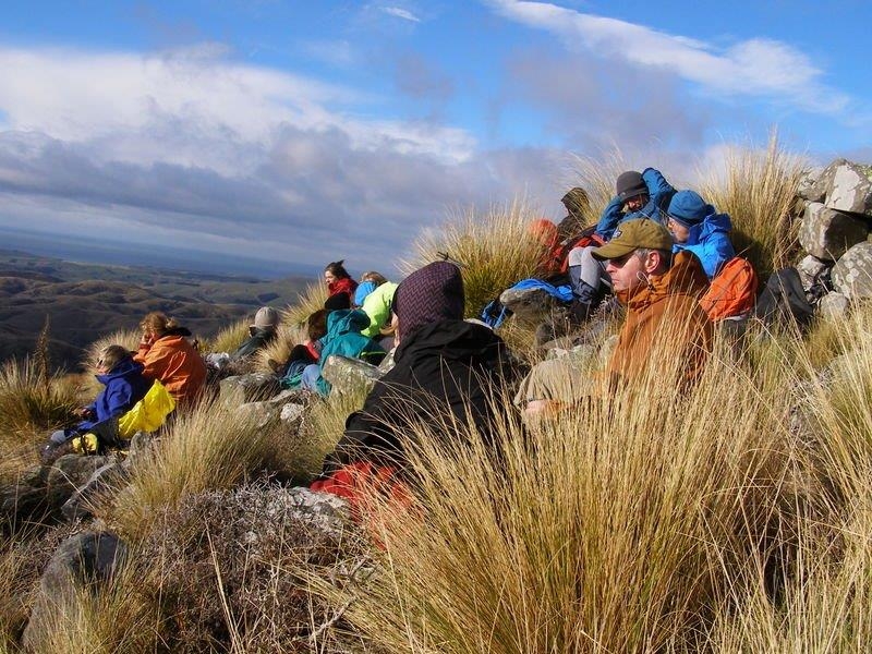
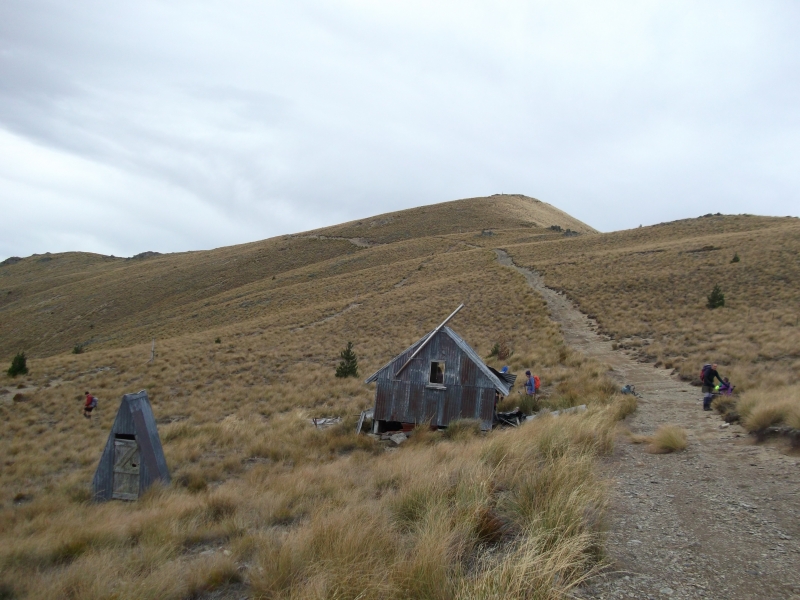
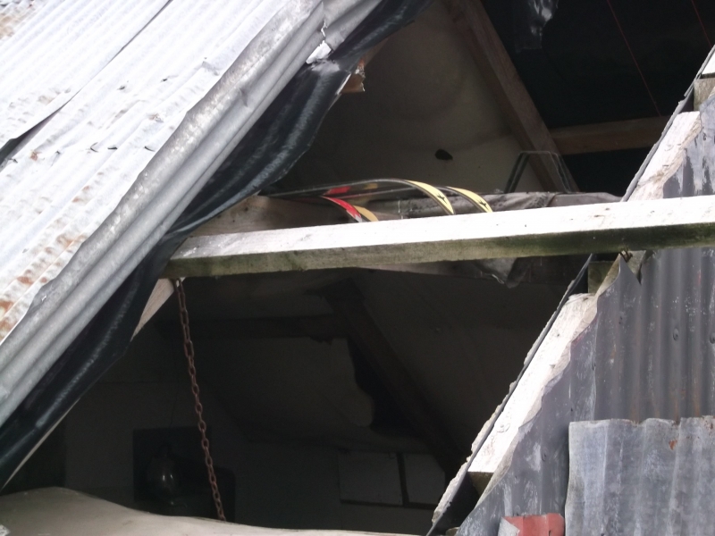
After about two hours we came across an old Skifield with an old ski hut, looking rather worse for wear and far from weatherproof, but still holding a number of old skis, old boots and a control box for the ski tow. Outside lay some old nutcracker belts and the ski rope lay along the line of the tow. We had morning tea here and had a good look around.
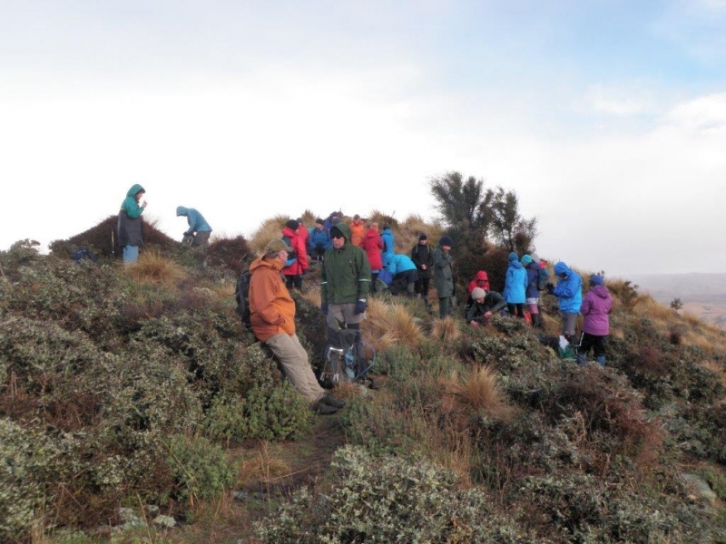
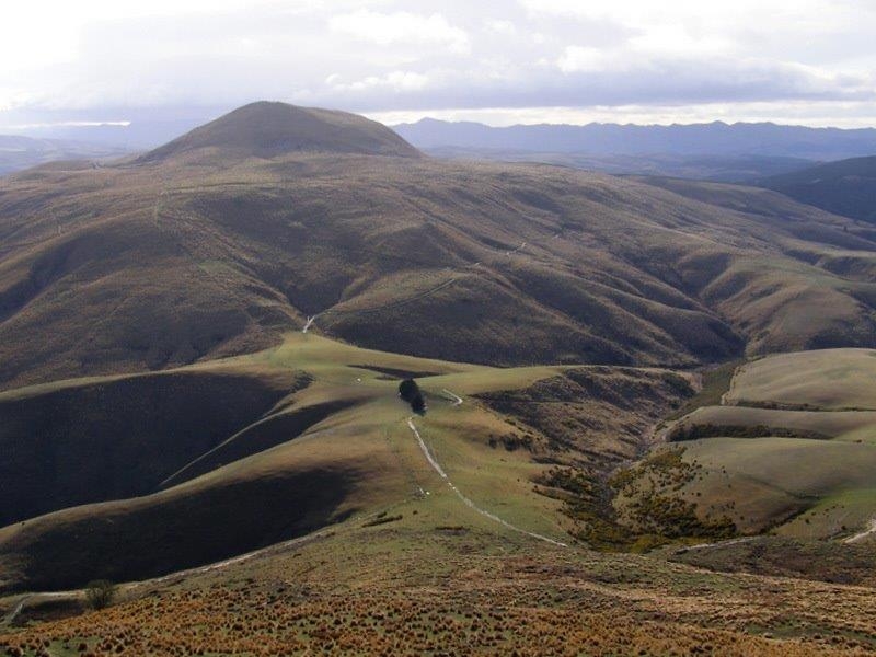
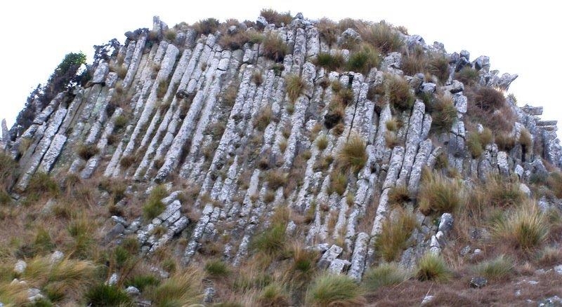
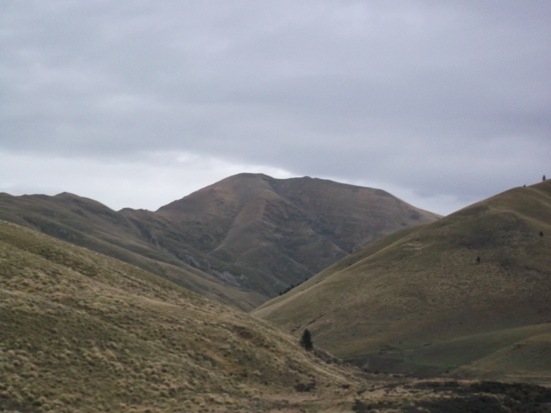
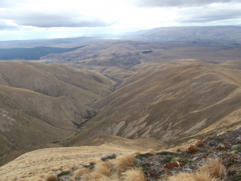
The wind was starting to get quite strong and cool, so off we headed following the old tow line to past a knob marking its top stanchion and up to a saddle which opened up some stunning views of Mt Dasher, Obi, Kattothyst and the Hectors Plateau. Just below the summit the wind dropped and it was quite pleasant till I took a look at our last 300m climb to the top.
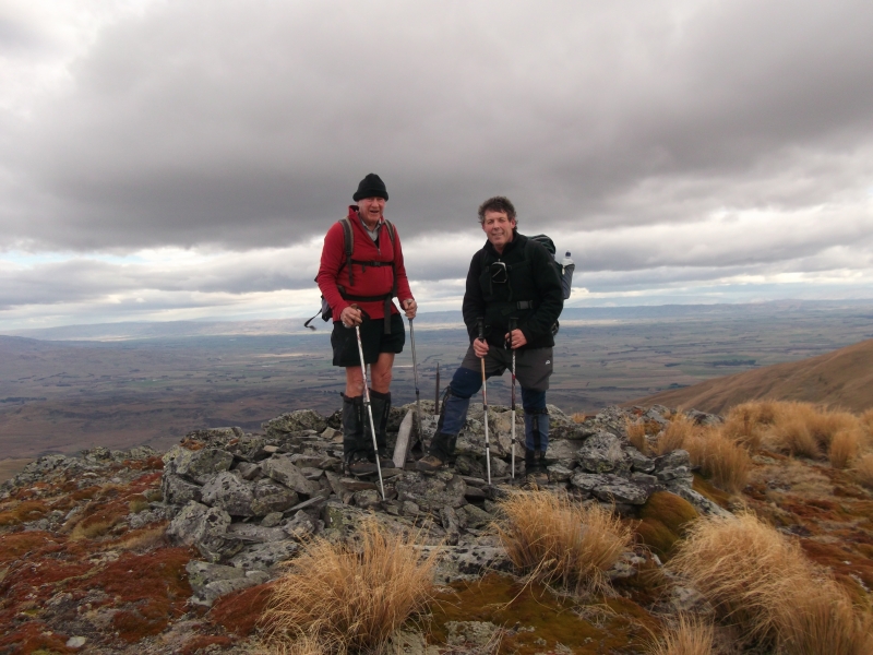
We had to slog it through some very thick snow tussock with no animal tracks to follow but about 100m out it thinned out and the ground became rockier. The lower summit was passed and at 12.15pm we were on the top summit getting blown off.
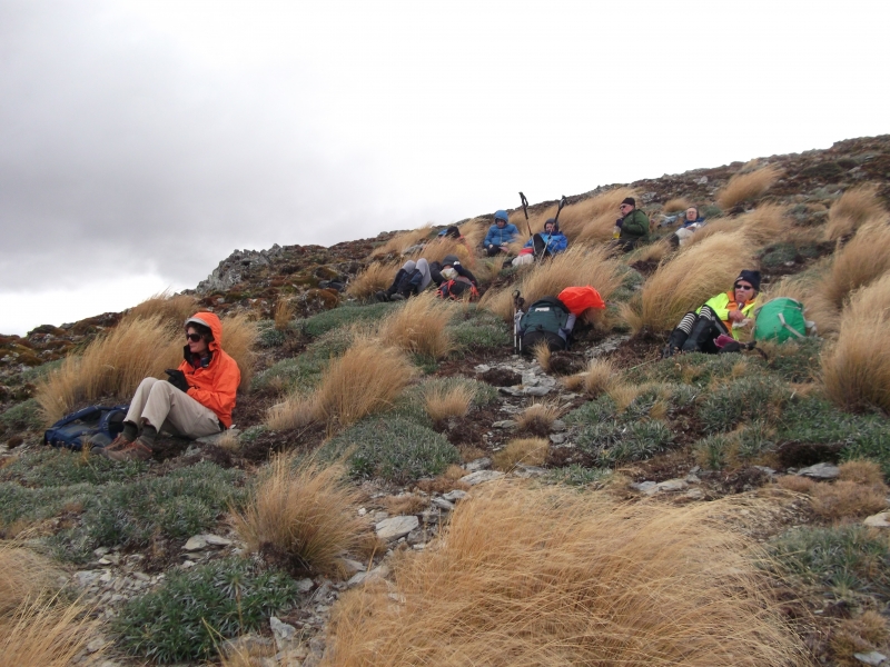
Some photo’s were quickly taken at summit rock and then it was off to the side to find a tussock to hind behind to have lunch. John bought the record jar down from summit rock to have a look that it. Apart from the Wednesday Walkers it had been along time since the Tramping Club had been there. The records did show that a couple of our group had spent alot off time up there before, Linda and John. Lunch was had and we were starting to get cold so we signed the book, put it back on the summit and started to descent down the leading ridge.
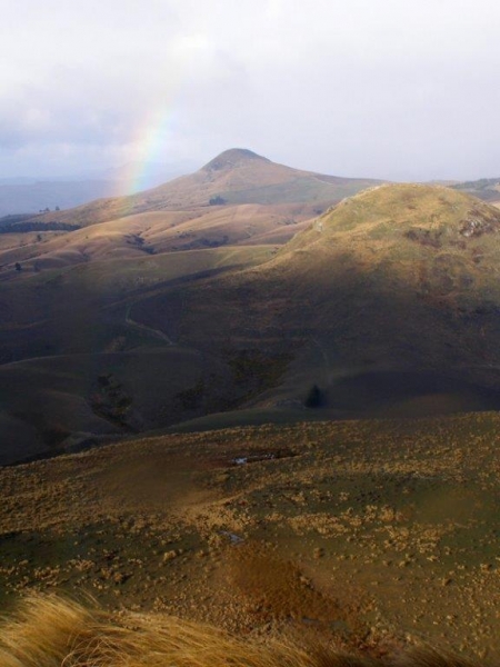
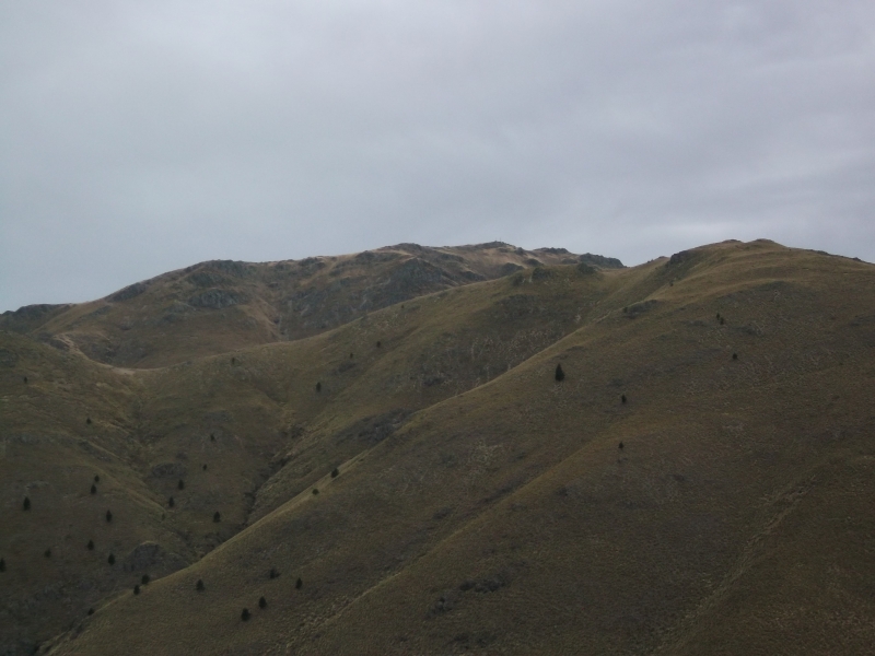
The first part down was over stable scree and rock with a fierce westerly wind. Half of the way down was over tussocky ridges and humps to finally meet up with a 4WD track that took us down the ridge and over the shag creek and back to the cars, reaching them at about 2.45pm. The weather had held off with the sun trying to come out on our way down but it was very windy on top. It was an enjoyable day, with great views and great company.
Thanks to Maurice, Phyllis, Kate, Noel, Linda, Anna, Uwe, John, Jane and George on his first trip with the club. Neville
SouthTemple Side Stream Route Marking May7&8 2016
Monday, May 9th, 2016
Upper South Temple, discussion previous day’s activity
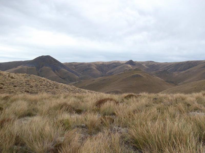
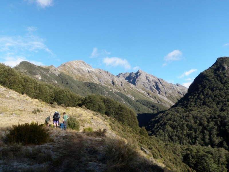
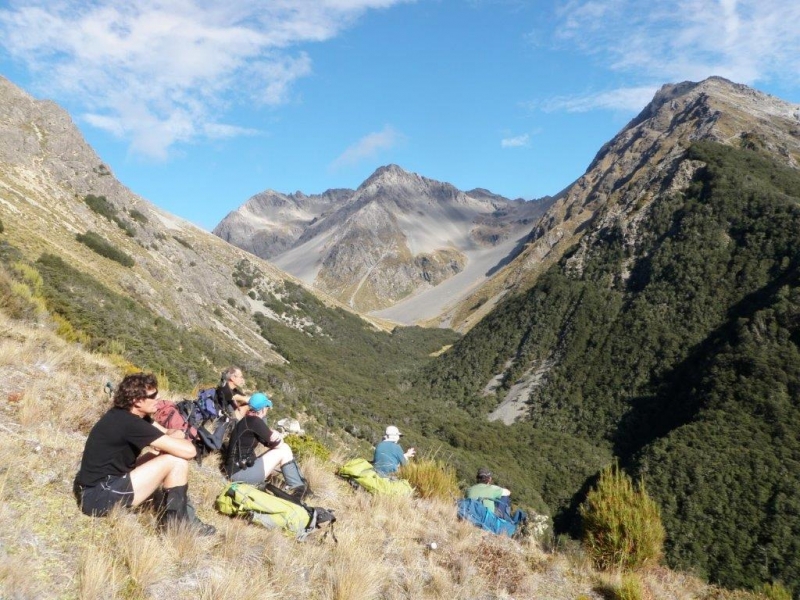
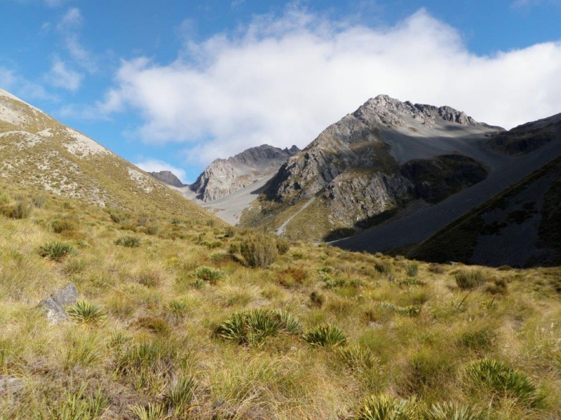
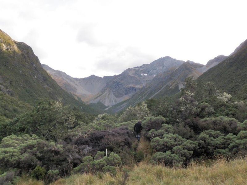
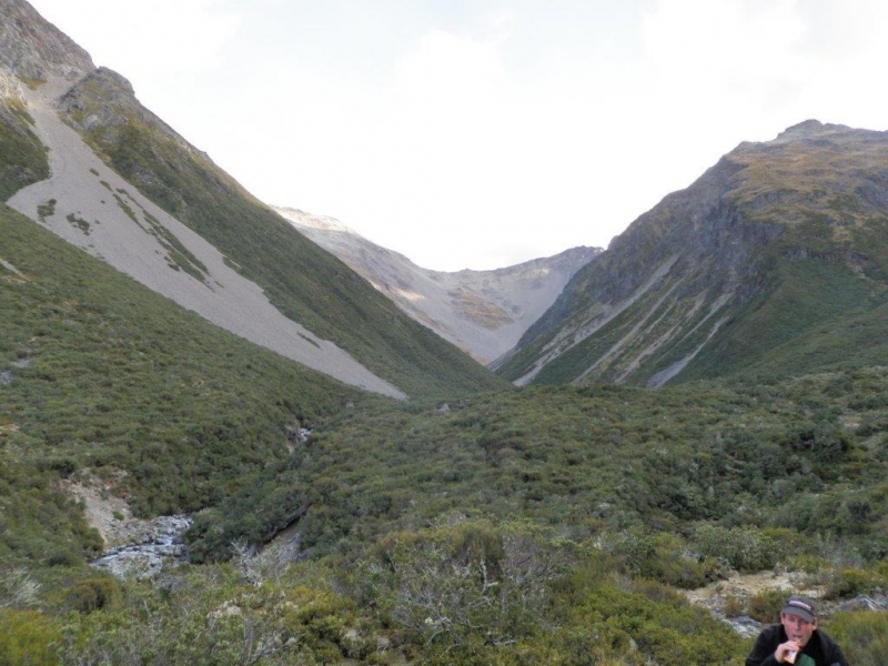
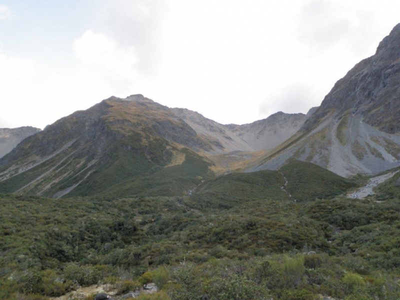
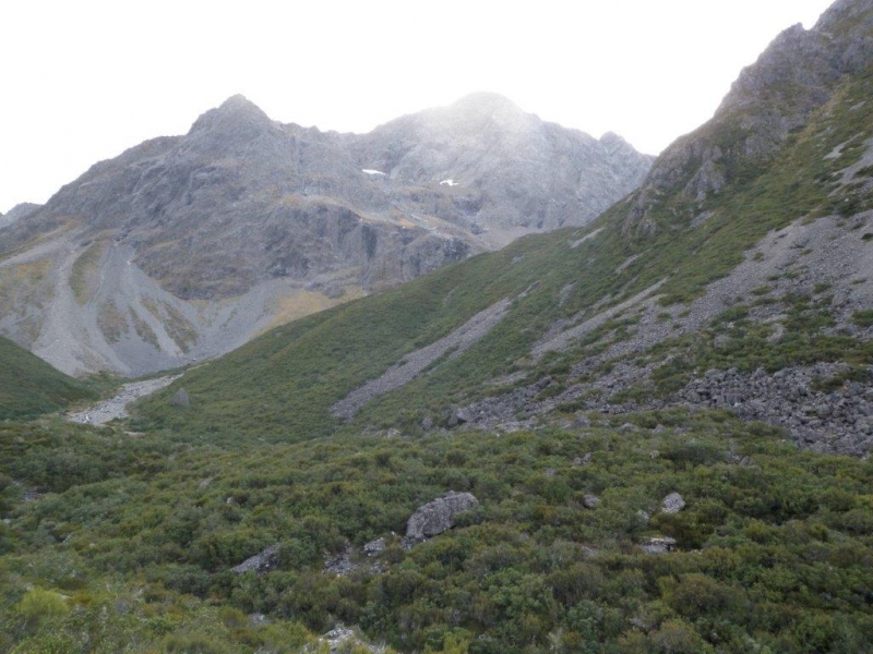
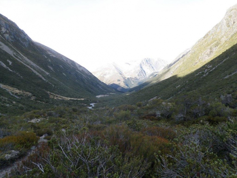
Seven arrived at the South Temple in 2 groups. Group 1 left Weston at 1pm Friday and Group 2 left town at 6pm. Group 1 walked into the South Temple Hut and arrive there just on dark and Group 2 camped the night at the Temple Shelter. Group 2 split further into Group 2A and Group 2B, Group A heading away at first light and arriving at the South Temple Hut at 9ish. Group 2B arriving there some time later. After pitching tents and refreshments, the now mostly combined party (minus 2B) set off up the unnamed branch that ends at the Hut, climbing steeply to reach the top of the tree-line and finding the large cairn put there on a previous occasion 4 years ago when we were last there marking out the same route. As it happened, the old markers were not too bad to locate even though they had faded badly to a silvery grey colour. Using the old markers we were able to tie new orange and pink plastic ribbon and reestablish this as a pretty good route to allow access into the upper basin of this stream which eventually leads around Mt Maitland and Watson Stream and the Ahuriri. Job done and we sat on our laurels in the sun on the hill opposite the Hut at about the bush line where some were so relaxed that they snored! Next day most were up and rearing to go for a walk up the South Temple. Group 2B remained for hut cleaning and other duties. We walked up the valley to where the track splits about 2 hours up and enjoyed the alpine atmosphere and the very mild weather. A return to the hut saw Group 2B departing for the carpark and the rest having lunch and packing up. The return to the carpark was well synchronised with everyone arriving within 5 minutes thereby minimising the exposure to the vicious squadrons descending upon us, some even hiding in the vehicle for a munch on the return journey. A good trip with good company and a good deed done. Thanks to John, Maurice and Phyllis, Jen, Karyl and Nev. Robbie
Grayson Trip 28-2-16
Tuesday, March 15th, 2016
Grayson Trip 28-2-16
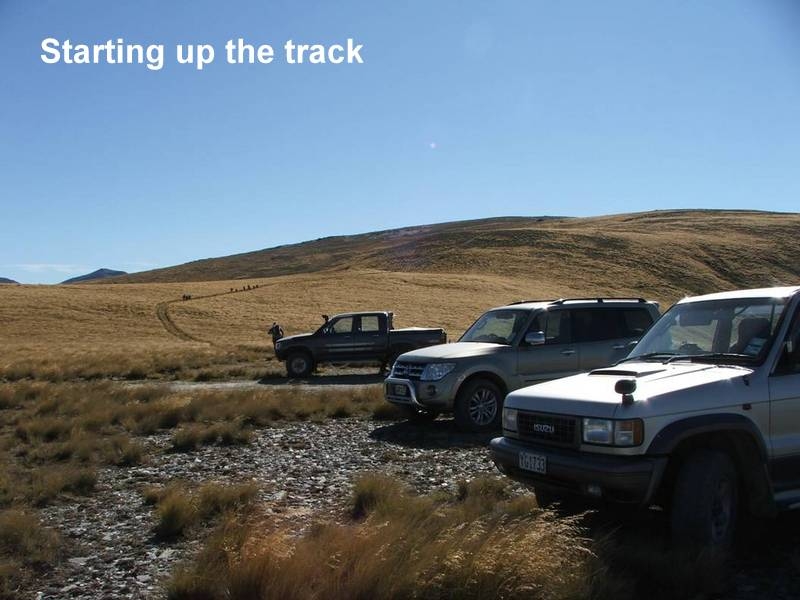
An early start of 7am did not deter what turned out to be 13 rather than the 8 planned bods heading towards Grayson; after meeting at Kakanui, Palmerston [Tim, Rodney and Jane] and finally Ken at the beginning of the 4WD track into the Oteake Conservation Park past the Buster Diggings. It was a long drive until we finally stopped around 10.45 where Tim had sussed out this new route to Grayson.
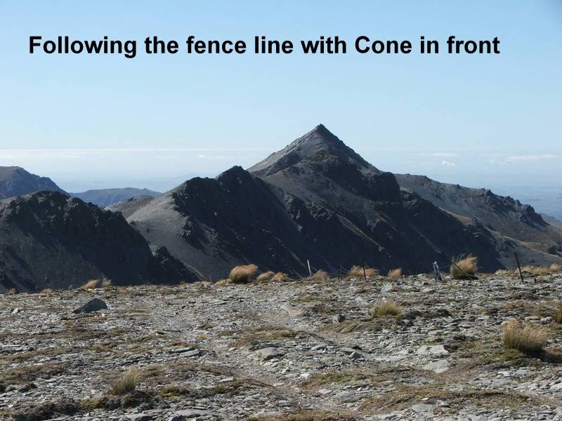
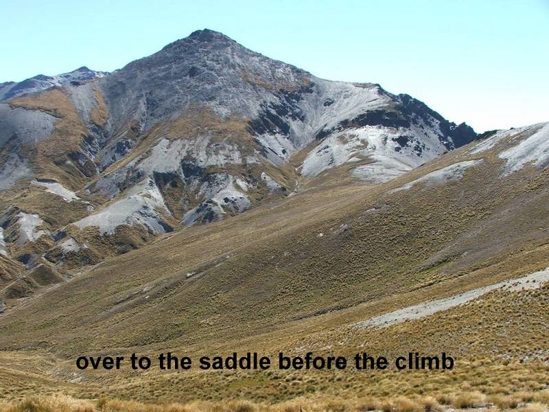
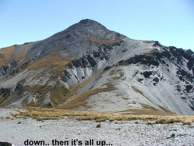
Following a track towards Grayson, then a fence line towards a saddle, we then ascended Grayson relatively quickly and easily with Tim taking around 1 hour 40. Eventually we all followed except for Russell who chose to follow a water race rather than the ascent.
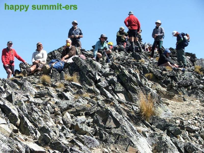
After nourishing our bodies at the top, 2 groups formed.
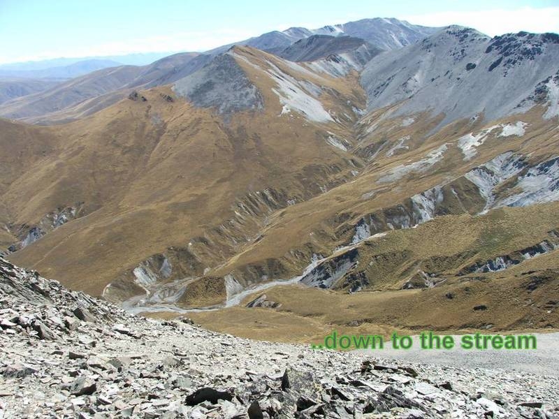
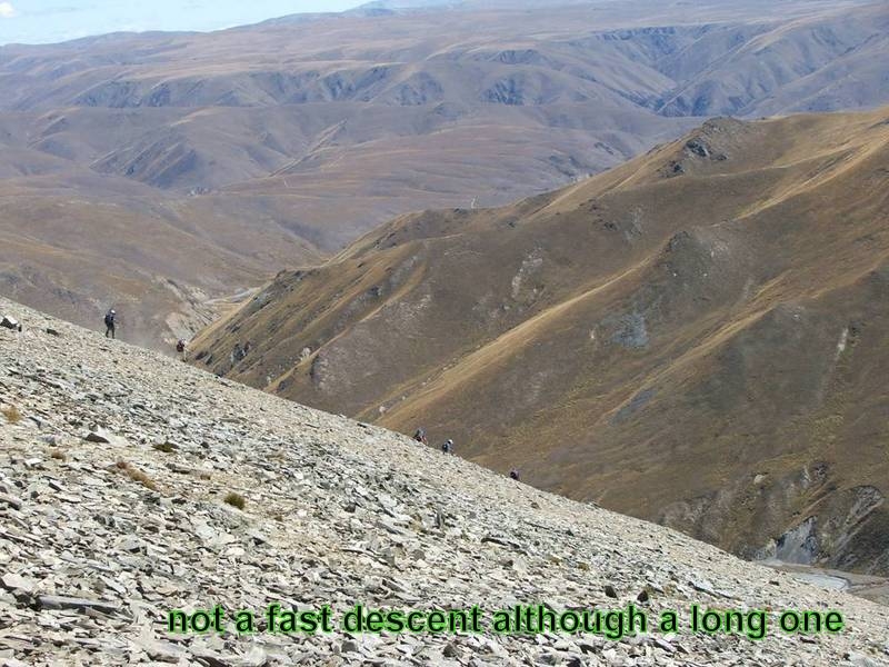
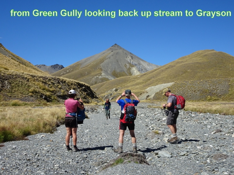
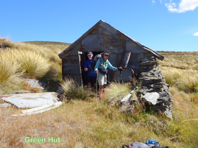
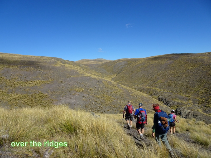
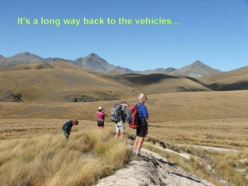
7 followed Tim on a long descent straight down to the stream on the NW side. From there we followed the steam for some distance in Green Gully, before Tim turned us up over a low ridge to Green Hut- the first of 2 old gold-miners huts. Another up and down ridges route continued over to Brown Hut hidden amongst diggings. Then it was a long tiring trudge back uphill to the vehicles to complete the 19.2km circuit around 6.00
The other group took a more leisurely shorter route back. Descending the same way they ascended to the saddle, then following a water race, before finding their way around the contours back to the track above the vehicles also arriving about 6.
A snack at Palmerston was appreciated, eventually home around 10.00. A very long day but all satisfied with what each had achieved.
A big thanks to Tim for his recce into the area, and to those who took their 4WD’s without which this trip could not be achieved.
Tim, Rodney, Jane M, John, Kate, Pete, Linda, Noel, Lewis, Russell, Ross, Ken,and Jane