Uncategorized
Ben Ohau – June 2012
Friday, June 22nd, 2012

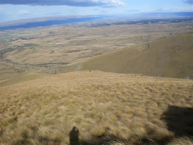
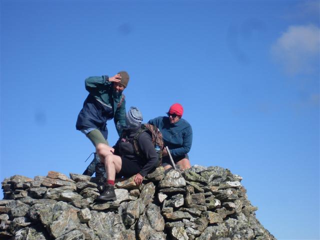
Six set off on a fine Sunday morning, cool with a light westerly breeze. The day was to provide a short window of fine weather in between storms. We left the Greta Stream carpark at 10.30 am and started on the steady climb up the old 4wd track which initially zigzags, then proceeds in a long sweep across the northern face to its highest point. From there we climbed up a fence line, over a mixture of rock and sub-alpine vegetation, to reach the summit at around 12.15.
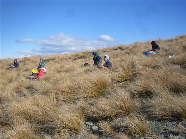
After being buzzed by a light plane which approached from the direction of Twizel, we perched on rocks protruding from drifts of old snow to lunch and enjoy one of the great vantage points – with views from Pukaki, Twizel, Lakes Benmore and Ruataniwha, the Benmore Range, Omarama, the St Cuthbert, Ewe, Diadem and Ohau Ranges around to Lake Ohau and the Neumann Range.
A chill breeze encouraged us on our way by 1.45, back down the fence line to the 4wd track where we turned east and followed it along the ridge towards Twizel. After about 3 km, at the lowest point on the ridge, we left the track and turned north down a tussock face which narrowed to a gully before coming out on to the Greta Stream at around 3.30. On the way we spooked a small black pig and dispatched a wilding pine.
From there, we headed back west, following a disused farm track down the Greta Valley, through a small gorge, impressive rock faces and colourful dracophylla and snowberries. After 5 stream crossings, the track led up the bank on the true right through some remnant beech forest and along a poled route across tussock terraces toward Lake Ohau. At one point the poles stopped and the track came to a sudden end in a patch of scrub. This required a climb over a fence on to an old farm track which continued the descent to the road, where a DOC sign confirmed we had been on the correct route. The final leg was ten minutes along the road to reach the cars dead on 5pm.
The day provided a 16km walk with 1000 metres ascent and descent, mountain and valley terrain, and tussock, forest and sub-alpine flora. Bess, Brian, Jane, Linda and Sam added to the entertainment.
John.


Otehake River Hot Spring – Queens Birthday 2012
Sunday, June 10th, 2012

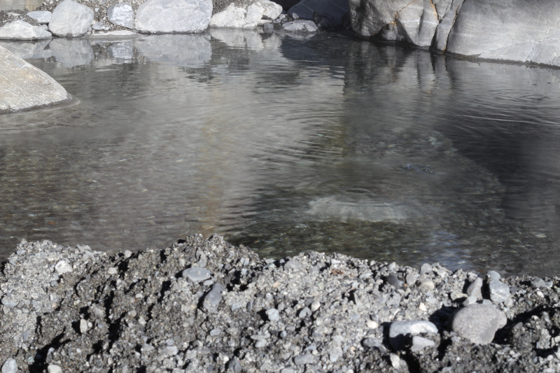
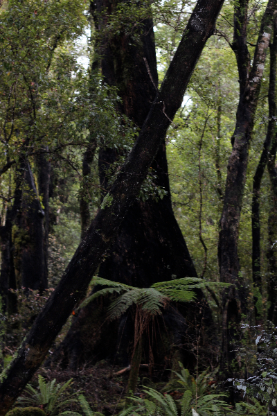
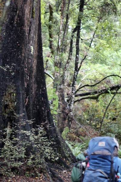
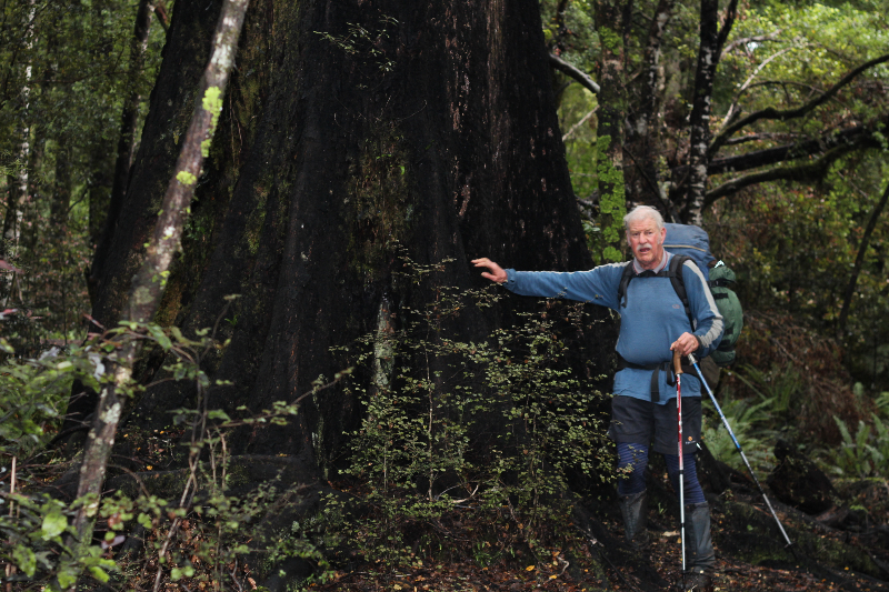
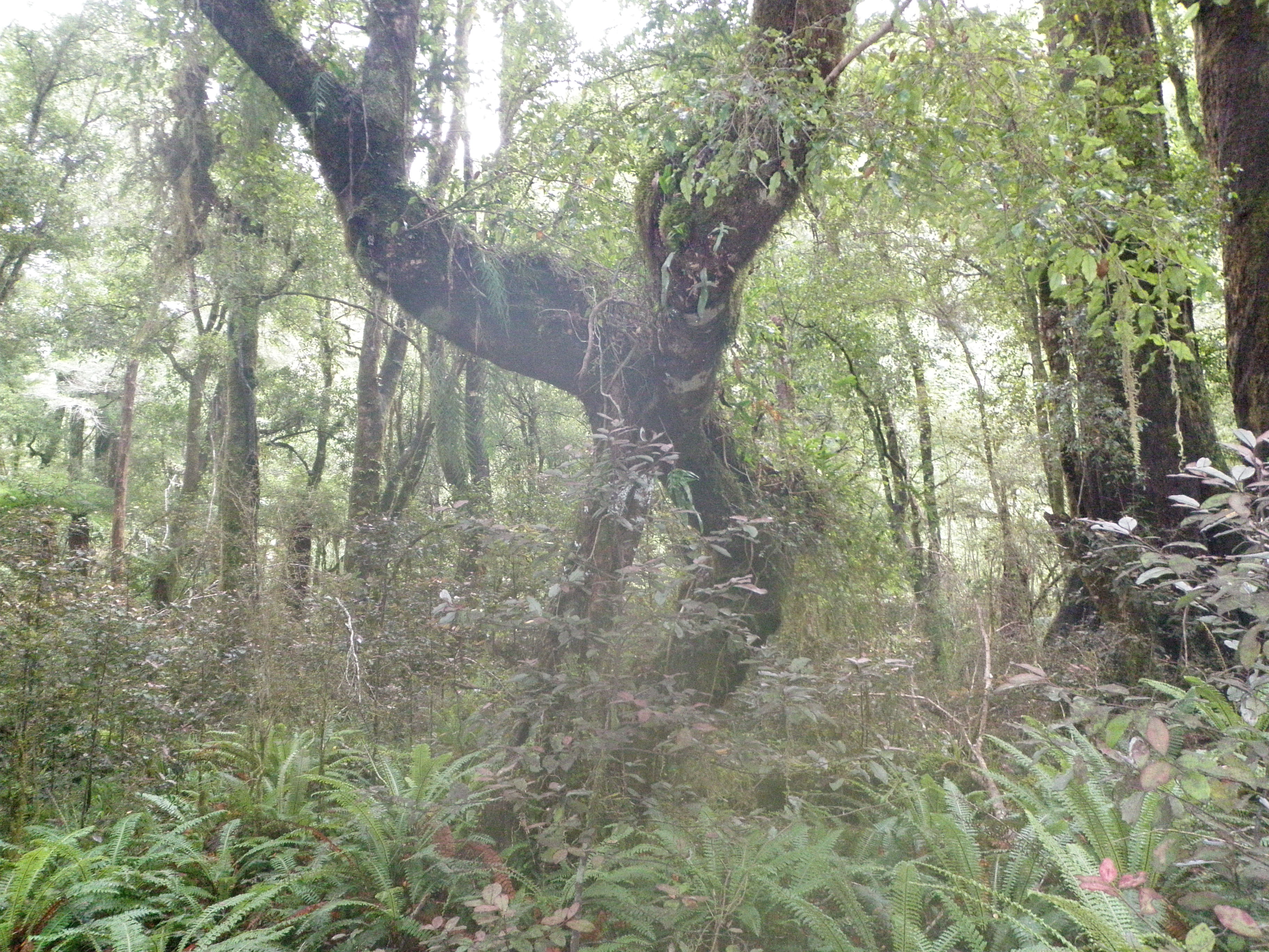
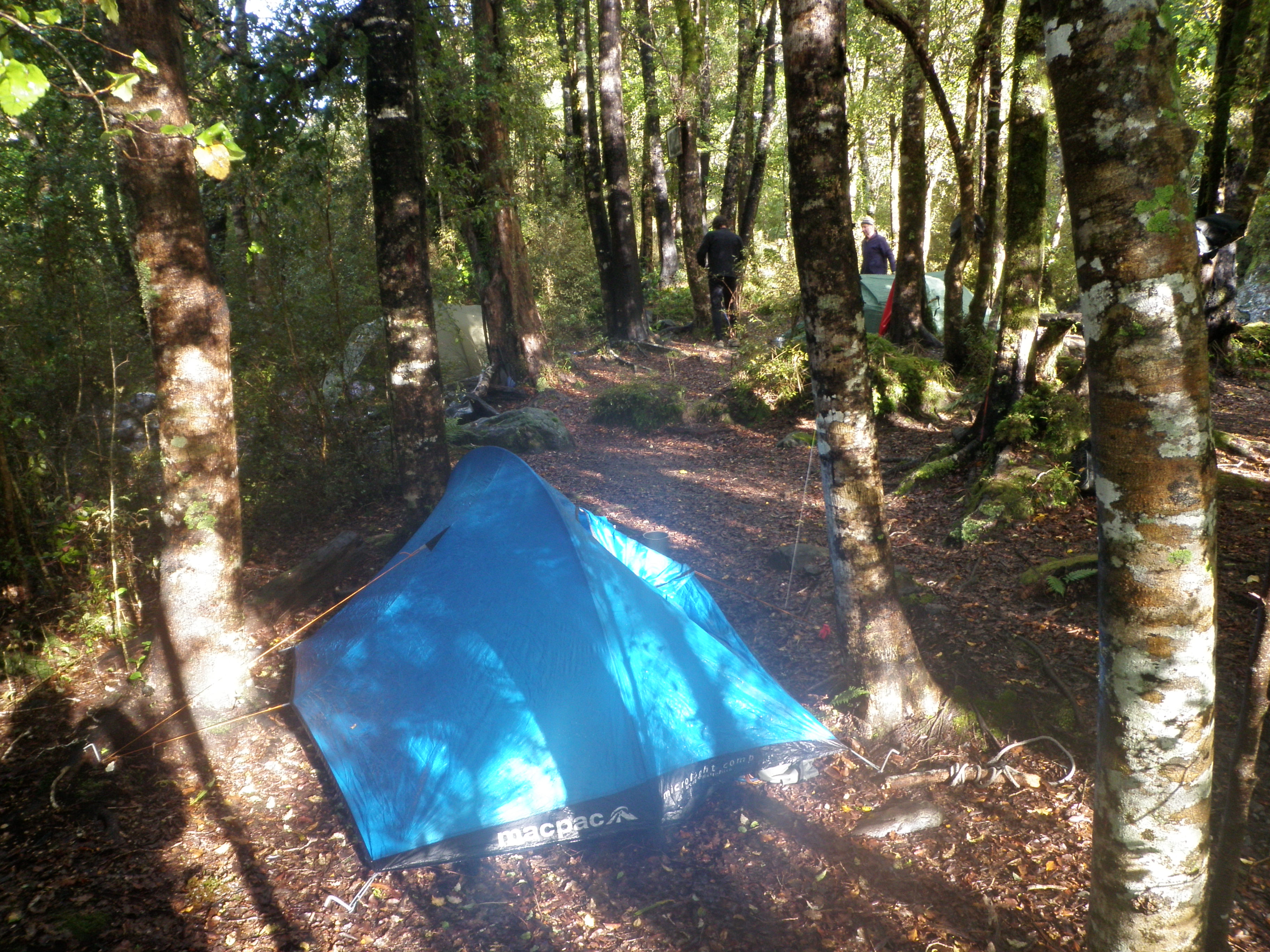
This trip turned into an all boys trip with 5 lads setting off early on the Saturday morning. A fairly uneventful trip punctuated only by the eating of some delicious muffins en route saw us arrive at the village of Arthur’s Pass just in time for coffee which was drunk as we carried on over the Pass to Aickens and the carpark where the Taramakau River valley is accessed. A rapid change into tramping gear, gobble down another muffin and we were off getting wet feet within the first 15 minutes as we crossed the Otira River and headed up the Taramakau. We carefully avoided the spot where Maurice had plunged in to a deep hole on a previous trip in this area. The walk improved dramatically after the turn off towards Lake Kaurapataka with giant trees making a spectacular appearance as we ambled up the track. A wide selection of rimu, miro and red beech, as well as many smaller species like marble leaf , horopito and broad leaf filled the forest with abundant ferns covering the forest floor. Very pleasant. Eventually the lake appeared and a second lunch spot beside the lake edge was found. Plenty of other vegetation here with abundant regeneration of rimu and lancewoods. On around the lake with even bigger red beeches, some of the largest seen yet, fantastic views over the still water of the lake and the reflections of the tree covered hills surrounding the lake. The walking now a little trickier with lots of slippery roots as we sidle around to the head of the lake. A small saddle and down a very steep gut got us down to the Otehake River. It was higher than I had seen but we head up the river and through the gorge, with many crossings to make as we weave from one bank to the other as bluffs bar the way. The day gets short now and darkness looms as we cross the last time. The smell of sulphur getting stronger as the daylight fades. Time for the GPS and we don’t have far to go now, lucky I brought the right GPS this time, this one has batteries, it tells us that it is only a few hundred meters to the hot spring and the camping spot that is the destination for this trip. Luckily the small entrance up to the camping area on the island in between the 2 branches of the river appears, it is well hidden with the cairn being very mossy and the shrubbery having covered most of it.
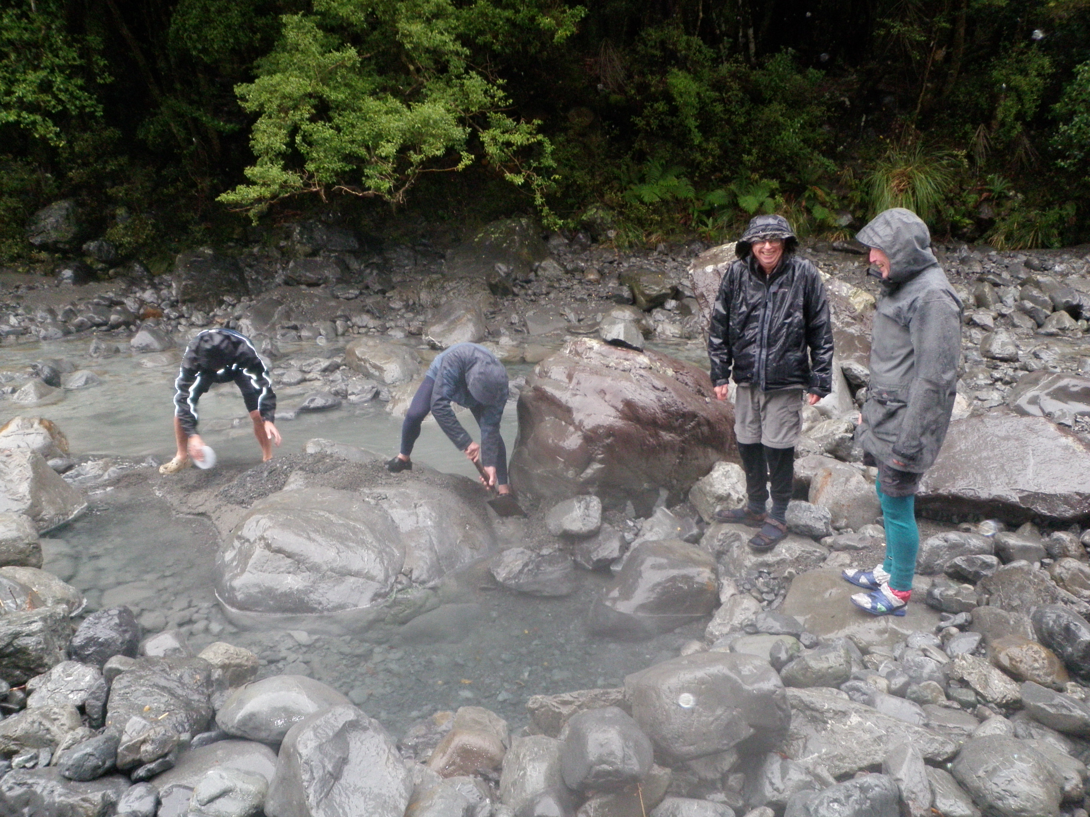
Great relief as the tents are pitched and the camp is set up, torches on as the meals are prepared. After tea, we search out the springs which are often hidden due to the fickle nature of the river, one very hot spot is found and quickly expanded to accommodate a body. It is too late to get into too many excavations but everyone has a turn with the pool big enough to hold 3 people but only for short duration as the temperature soon gets too much. Some in the party rate the experience particularly highly, higher than anything else indeed. The hot baths lead to exhaustion in the end and getting to bed is the right thing to do. During the night the weather changes as predicted and mild drizzle eventually turns to rain. The morning dawns grey and wet putting the planned walk up the hill towards Koropuku Hut right off the menu. Instead with combined effort and newly found spade the pool site is developed into a fully fledged thermal resort, all temperatures are catered for and the only thing missing is a qualified masseuse (no Swedish nurses within a bulls roar). The morning flies by and with some reluctance we return to camp for lunch and a Nana nap for all, all that exercise has been our undoing.

Still we had a lot of laughs during this weekend and that provided enough mirth to get us all the way home. Thanks to Steve, John, Ross and Bill for a fine trip. Robbie

A Walk In The Dunedin Hills – May 2012
Wednesday, May 30th, 2012
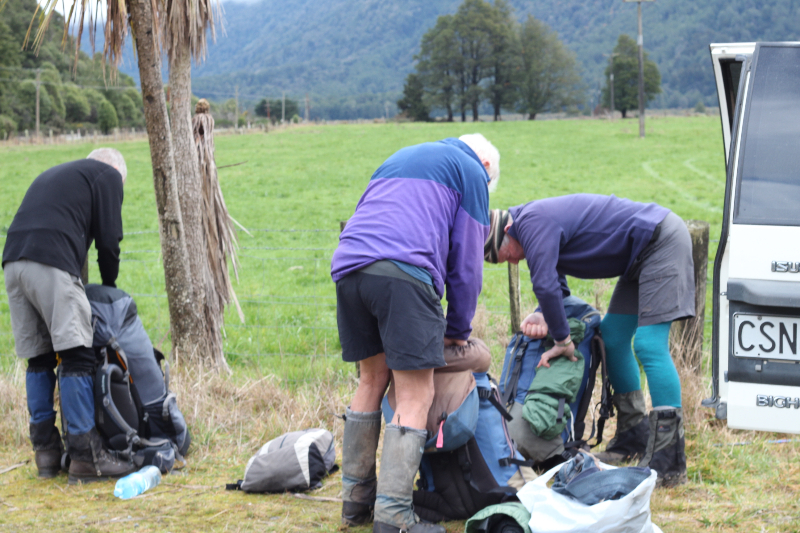
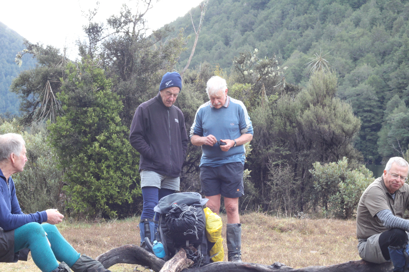
With a long weekend approaching some of our party were out to test themselves for the up and coming trip. Strong northwesters and some rain predicted didn’t stop nine members of the N.O.T.M.C. from an 8am start. The journey to Dunedin encountered heavy rain at first then sunshine as we neared our start point, the car park over Williams Creek Waitati Valley Road.
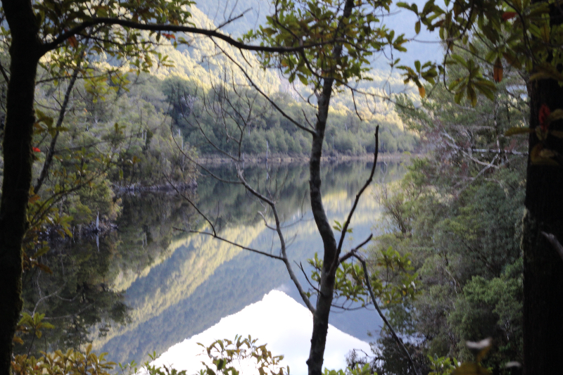
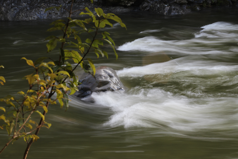
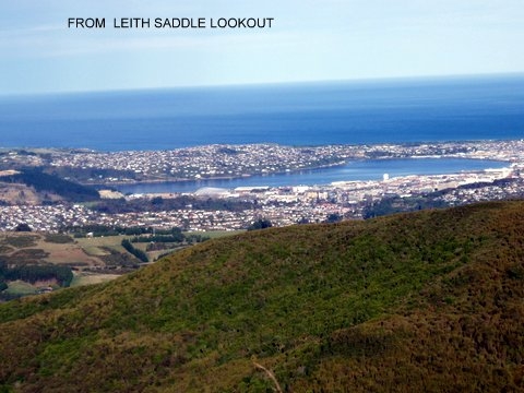
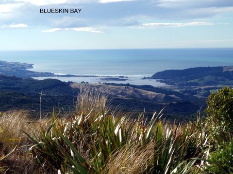
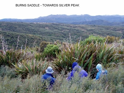
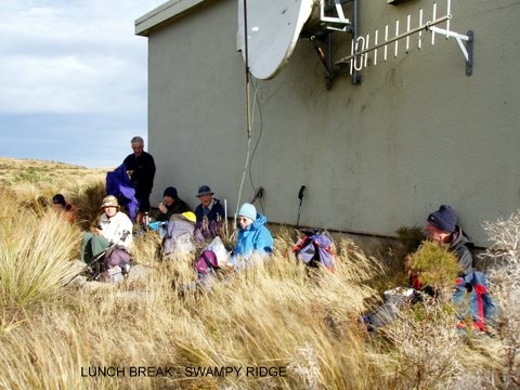
Following the Pipeline track which is mostly flat going was a good warm up for the Rustlers Ridge Track. A steady climb in the shelter of the surrounding bush with the melody of bird song along the way bought us to the lookout knoll above Burns Saddle. A snack break in the shelter of the flax bushes was enjoyed before moving on to the junction of tracks on the saddle. Burns Track having been recently cut made for easy going to the intersection of Swampy Track. As we made our way up Swampy Track the strong nor-wester made its presence felt , but the views at the top were worth it . Lunch in the shelter of a nearby building where the wind was all but forgotten then back out onto the road and wind around to the Leith Saddle Track. A stop at the look out point for some more excellent views over Dunedin then on down to the shelter of the bush and the pathway back to the road. A short road walk back to the cars concludes a nice leisurely day out.
Thanks to, Bess, Bev, Dave, John, Bill, Neville, Linda, Phyl, – Maurice
Routeburn/Caples – 10th-3th May 2012
Tuesday, May 15th, 2012
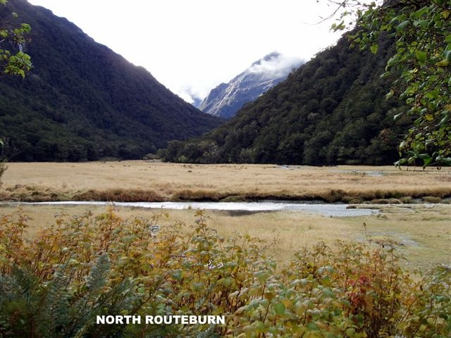
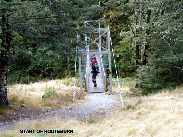
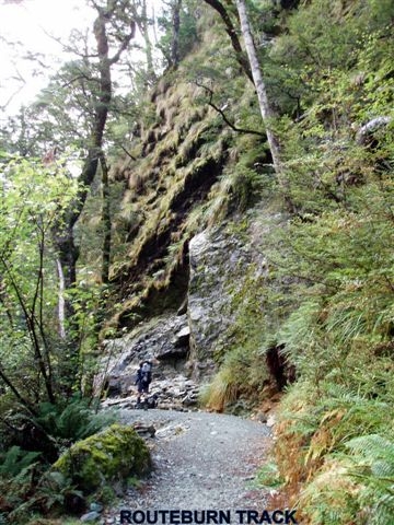
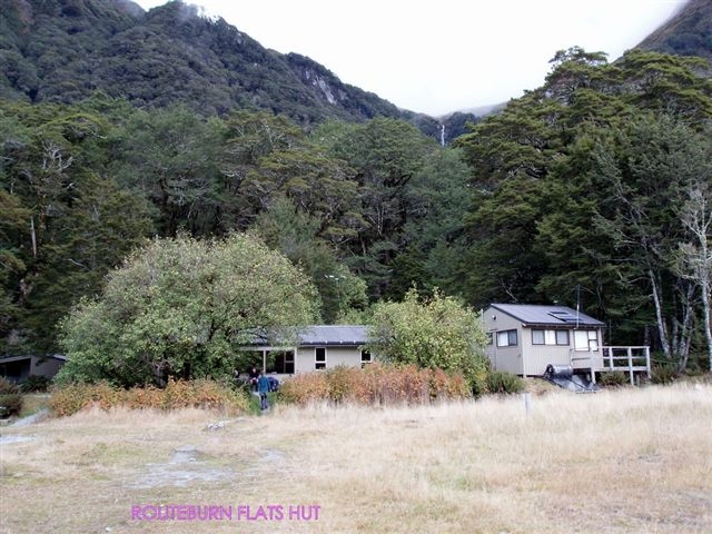
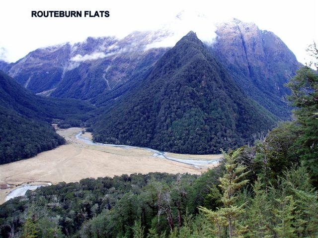
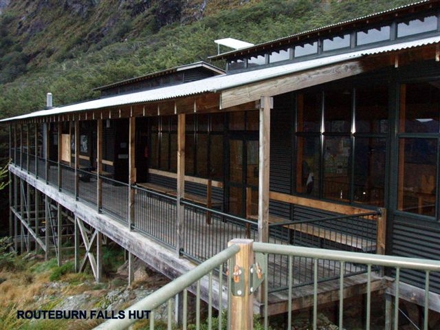
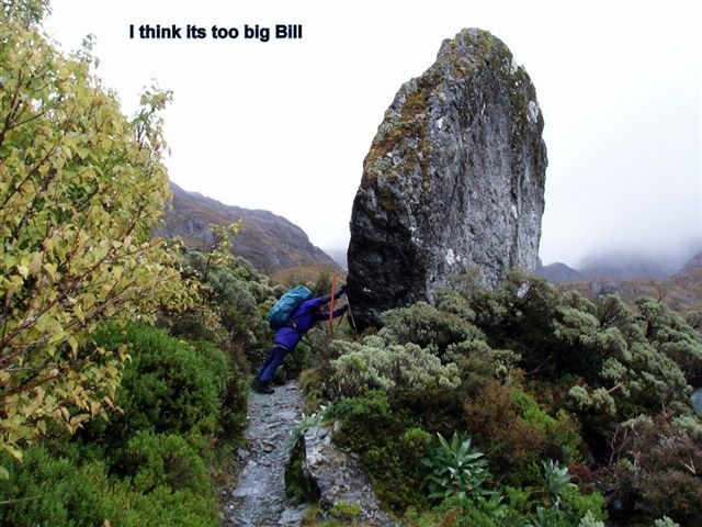
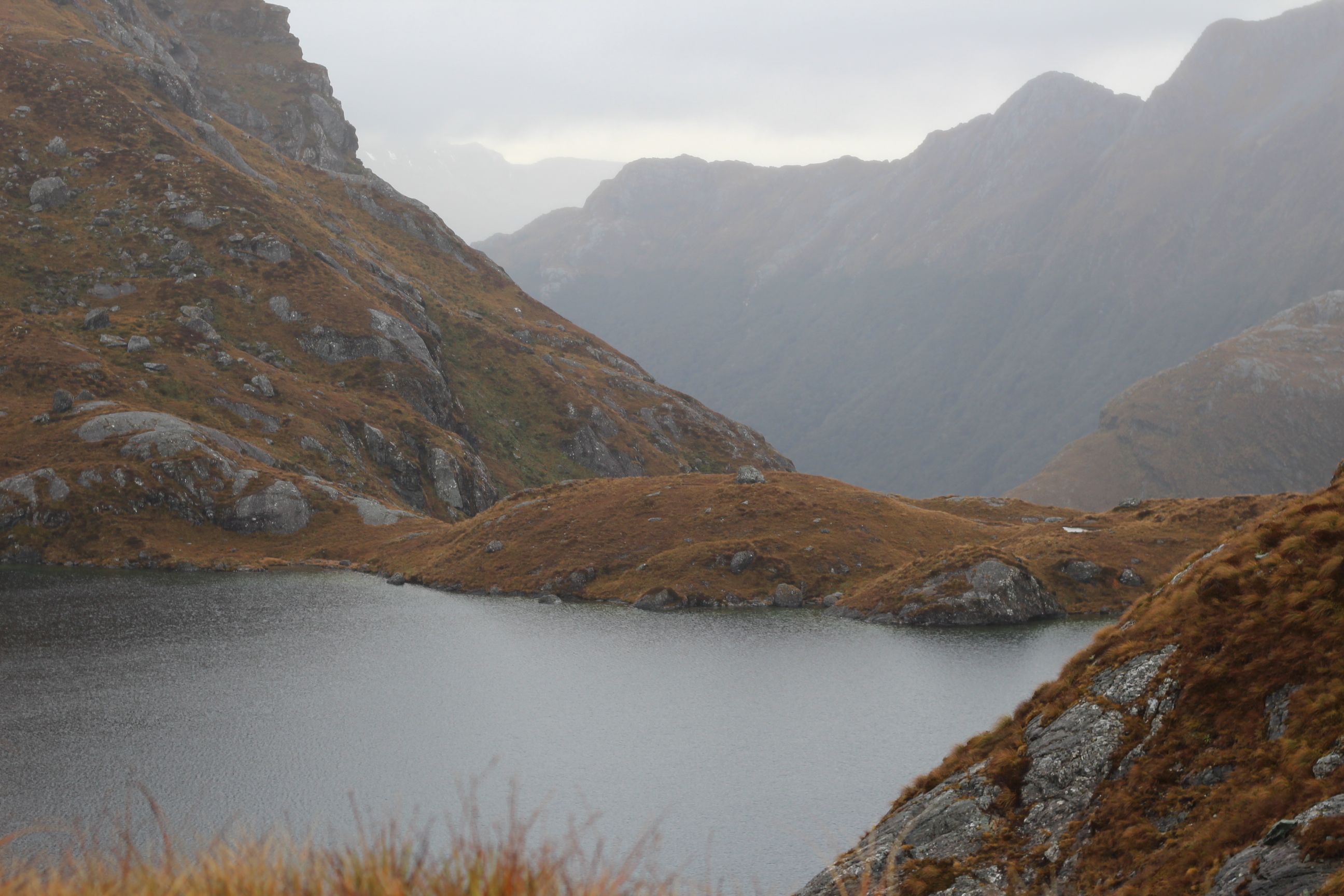
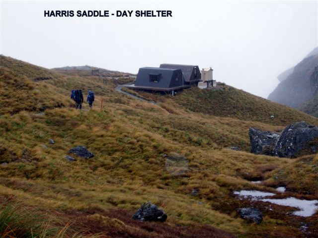
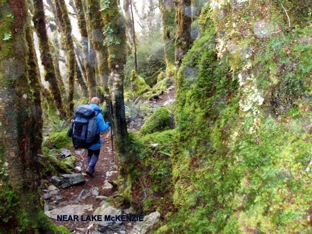
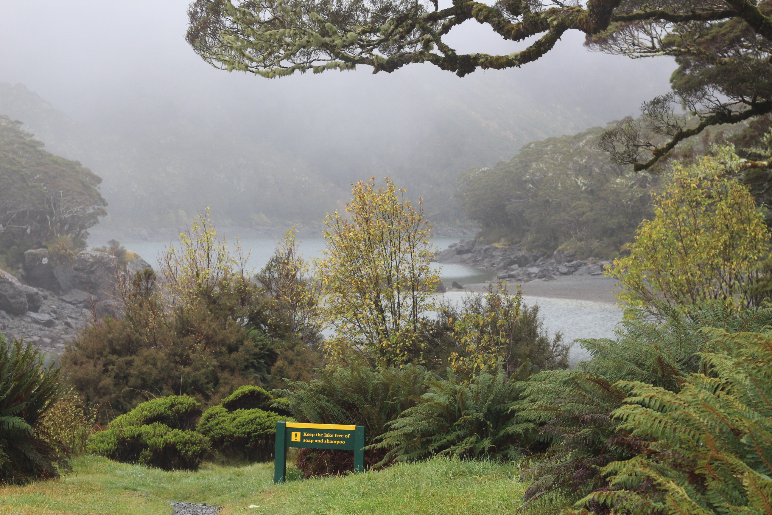
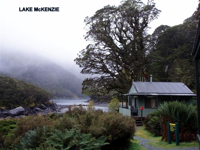
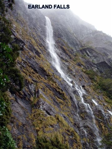
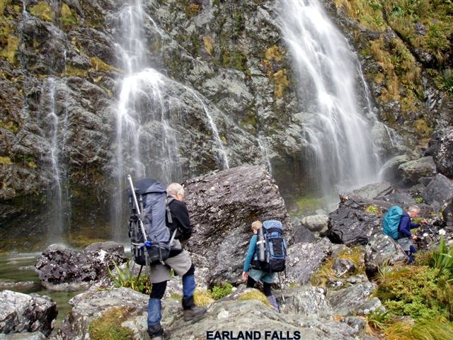
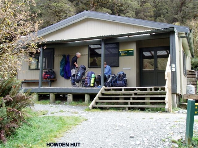
Friday morning was misty around the tops but we still had clear views of the waterfalls, Lake Harris and the stunning scenery in the upper basin. We decided not to climb Conical Hill from the Harris Saddle as the views from the top would have been poor. Instead we sat in the public shelter and had morning tea. From here the track has been re-routed, passing several tarns and then linking up with the old track to traverse the Hollyford Faces. Fog hung in the valley below so we were unable to see Gunns Camp and the secenery in the Lower Hollyford Valley. The sun appeared briefly as we arrived at McKenzie Hut in time for lunch. Alterations here were also being carried out on the guided walkers’ accommodation as we wandered on passing another toilet on the side of the track and then on to Earland Falls and Howden Hut. Five DOC staff were waiting for a helicopter to come and pick them up after having spent the last few days there replacing the warden’s quarters with a new roof and replacing the hut windows with double glazed ones. We again watched as the pilot carefully winched up the old windows and repositioned some large containers and fadges. The workers were then taken out to the Divide to drive back to Te Anau.
After settling in our bunks for the night we were woken at 11pm by a party of 6 youths and their leaders from Invercargill. Silence returned after midnight.

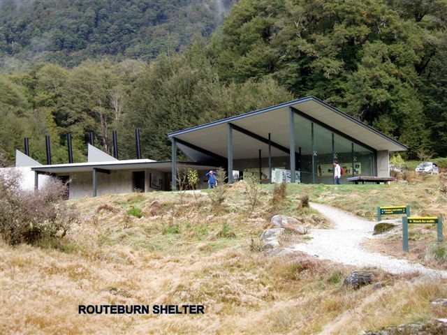
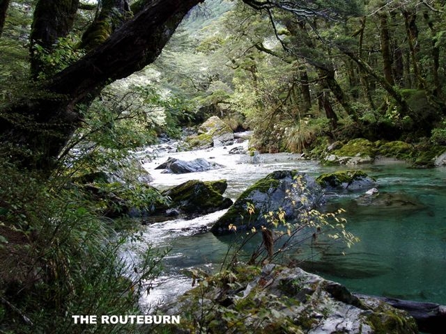
By Sunday morning the rain had stopped so we set off down the valley in fine weather to the Mid Caples Hut for morning tea. As we soaked up the sunshine on the veranda the Iroquois landed below on a terrace and airlifted the SAR personnel once again. The scenario for the SAR exercise was that they were searching for two persons reported missing while researching a route suitable for an adventure race.The sound of the helicopter was heard coming and going as we made our way down the picturesque Caples Valley to the bridge across the Greenstone River. We crossed the bridge to have lunch in the sunshine and then back again to join the track and on out to the car park where our transport was waiting to take us to the Routeburn Shelter. Next stop was the Glenorchy Camping Ground for a shower and then the Omarama Hotel for tea .
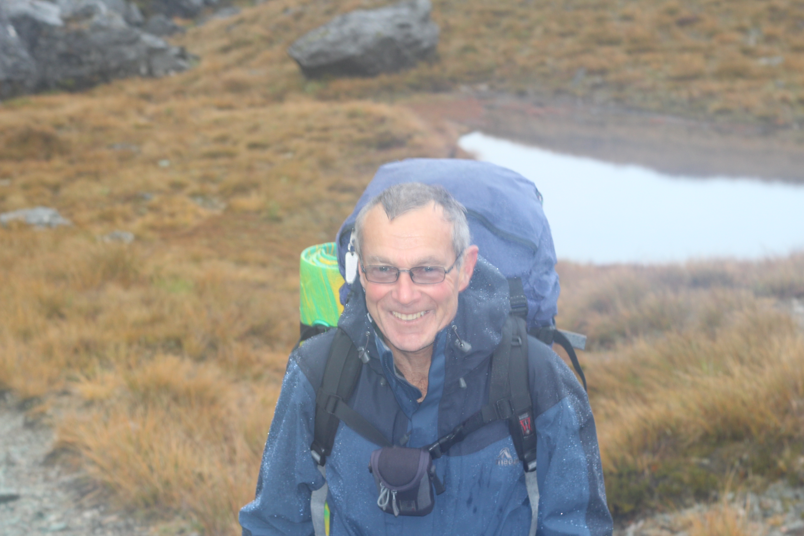
Although we encountered helicopters at every hut it was a thoroughly enjoyable trip which I would highly recommend to anyone of average fitness and my thanks go to Bill, Steve, Robbie and Maurice for the great company. Phyllis

Mt. Buster – April 2012
Monday, May 7th, 2012
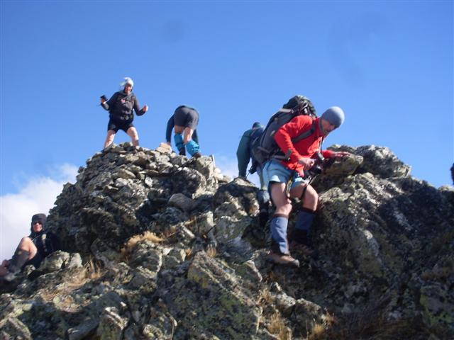
At the car park it was a wee bit windy but not too bad, so we picked the ridge we were going to go up and headed off on our climb. The climb was not too bad apart from the tussocks that we had to push though; they were quite big in places. The higher up we got the more the wind picked up and when we got to the top which took about two hours it was blowing a gale. We tried to find a place out of the wind to have lunch, but this was not easy. Robbie found a place, it was not the best but we had some shelter if we got down low.
After lunch we realised we were not quite on Mt Buster as it was about 500m to the south of us on a rocky knob, so we headed over to it and climbed up on top while trying not to get blown off. We had great views of the top of the surrounding mountains, Maniototo Plains and the Buster diggings. The summit of Mt Buster is 1334m.
At this stage the clouds were starting to build up inland so it was off down the 4wd track to meet up with the main track that goes from the car park into the Oteake Conservation Park past the Buster Diggings.
At the main track we assessed the weather and decided it was going to hold for a while so it was off to have a look at the gold diggings.
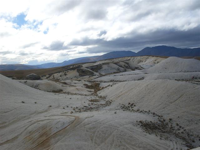
The Buster digging is a huge area that is probably 10km long and half a km wide. They stand out because the tailings quartz gravels are white and they look out of place within the tussock countryside. The diggings were mined from 1860s to the 1930s and were the highest altitude gold workings in N Z at 1200m.
To see all the diggings you would need a couple of days, but as we did not have this it was off back down the track for 6km to the cars. Along the way we saw some of the old water pipe lines they had put in to get water from the many creeks and streams in the area, and many of these had to go a long way. We stopped on our way back in a claim spot, to have a second lunch out of the wind. All in all it was a good day out with about 5 hours tramping, and apart from the wind we had good weather.
Thanks to Tim, Betty, Robbie, Els, Laszio Sam, Jac and Neville for a good day out
PS Thanks Jac for missing the turn off back onto the Danseys Rd and letting us get in front, so we didn’t have to get your dust all the way home.