Uncategorized
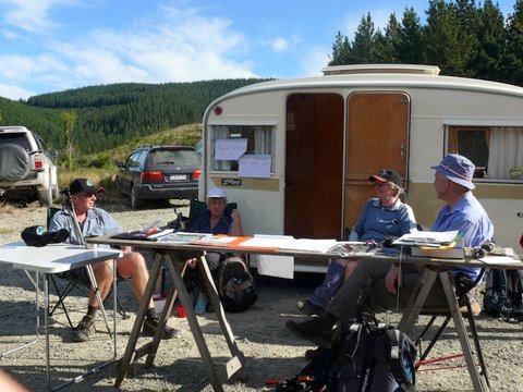
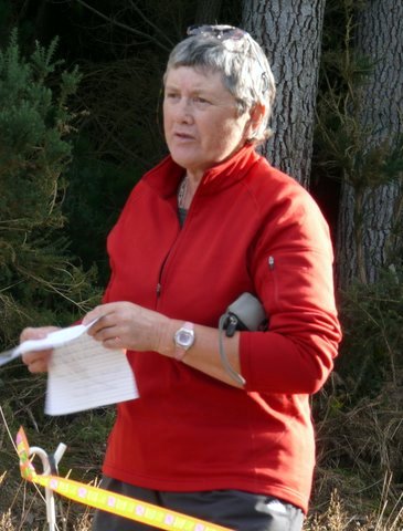
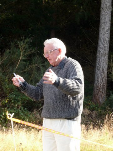
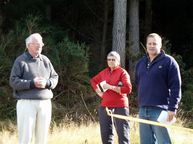
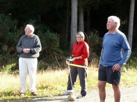
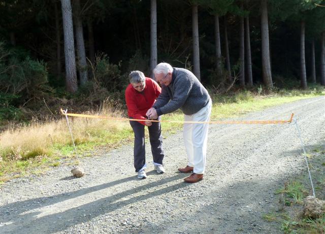
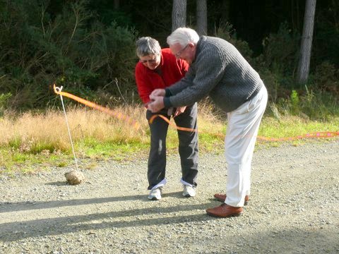
Hoods Creek Opening Day – April 2012
Tuesday, April 17th, 2012

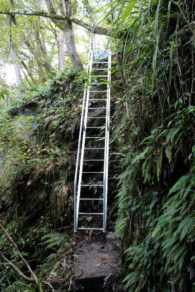
Pivotal to the reopening was the construction and installation of a steel stairway up the waterfall bank.
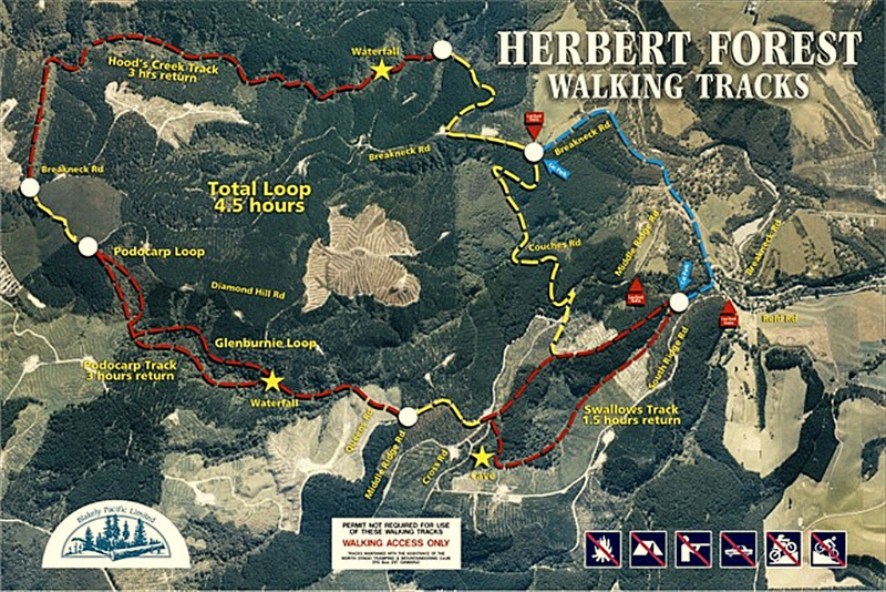
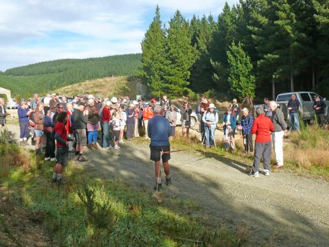
After the opening many of the those present walked the Hoods Creek Track, as well as the Podocarp and Swallows Tracks, guided by Club members.
Owners of Herbert Forest, Blakely Pacific generously funded track signage and the staircase , built by Apex Engineering, and have been very accommodating to the Clubs wishes and suggestions. North Otago Land SAR supplied radio communication for the day. North Otago Motor Group supported the guided day by donating a rental van for the use of the club to ferry members of the public to and from various starting and finishing places within the forest.
All Herbert Forest Tracks are open to the public, and maps are displayed and available for self guiding at the forest entrances at Swallows Loop track and the end of Breakneck Road. Please return the laminated map to the box when you return.


Mt Somers – February 2012
Monday, April 16th, 2012
Trip Report – 24th- 26th February 2012
Five of us left Neville’s place about 6 pm and headed for Geraldine where we stayed the night in a cabin in the campground. During the night the front moved through bringing rain but by morning we had clearing skies and the promise of settled weather. A 6am start meant that we arrived at the Sharplin Falls car park by 8 with sunny skies and no wind. Along the way we had excellent views of Mt Peel and then a snow covered Mt Hutt.
We were tramping by 8.15 am up a steep track along the south face of Mt Somers. The initial climb is about 300 metres through beech forest, muddy and awkward in places but we made reasonable time. A second section is a more gradual climb to the junction of Mt Somers summit track at 1085 metres. We were now in more open grassland with some forested catchments and rewarded with fine views of the Canterbury plains out to the east. The Mt Somers range looked impressive in the sunshine with a mixture of scree and sub-alpine tussock slopes but with a further 6 hours or so to the hut, there was no talk of deviations. We made the Acland shelter which looks more like a hut from a distance along an undulating and uneven track often very boggy by about noon for an early lunch. After filling out the book and noting that not many had done he route recently, we continued mainly downhill through forest crossing a number of creeks to then climb up to more open country with increasingly dramatic views of nearby ranges. At about 990 metres with many refreshing streams along the way we finally joined the Rhyolite ridge track, one of the 2 options for going from the Woolshed car park to the hut.
From here we were on a wide track across scrub and tussock with about 5kms left. At one point the track offered tantalising views of the Woolshed hut down a steep gorge only to turn 45 degrees and head up on a steep climb to a local feature – the bus stop overhang. Fearing that the service was probably not very regular we continued on through interesting volcanic rock formations , different wild flowers descending 500 meters on a poled route in a short distance to a stream, a swing bridge and finally the valley floor and the hut . We had covered about 13.5 kms in just over 8 hours and met just one group of air cadets around the bus stop who were doing the loop back to the Woolshed car park.
The hut is only 5 years old, cost $425, 000 to build and is very comfortable. It’s 26 beds and was full, mostly people up from CHCH. We had an enjoyable night with Bron telling some stories of previous trips including a very hairy one across the Copland pass. We were away early in some light drizzle at 7.30am across Morgan stream and up a good track to the saddle, the highest point of the tramp at 1170 metres. On the way we stopped off for a short side trip to look at the water caves. By the time we had begun the descent from the saddle, it had stopped raining and we had some sunshine to admire the dramatic rock formations on the northern face of Mt Somers formed by the cooling of the lava flows. We had our first lunch at Pinnacles hut about 10.30 followed by a second down on the banks of Bowyers stream and hour or so later. By now we were descending in beech forest negotiating some awkward slips in muddy conditions with both Ann and Steve getting wasp stings unaware of the dangers around the black honey dew coated trees. This spurred us on up the final climb of 100 metres over Dukes Knob and a sharp descent onto the actual walkway. Ann emerged first, mud splattered and a bit dishevelled to be greeted by a 6 year old saying … Hey a real tramper! Fame at last. A few minutes later we were all back at the car park about 6 hours after we left Woolshed Creek hut. After packing up we stopped in Geraldine for the traditional post –trip ice cream and were back in Oamaru about 5 pm.
A fabulous trip with varied and interesting terrain, great weather, superb views and good company. Thanks to Neville, Bron, Jim and Ann.
Steve
Rees/Dart – March 2012
Saturday, April 14th, 2012
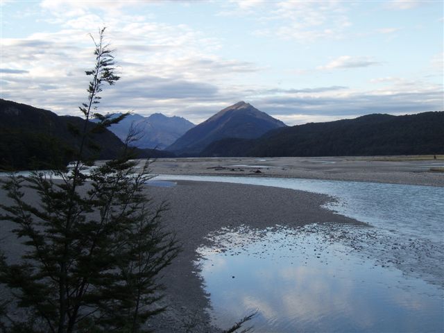
The Aspiring National Park hosts this very popular scenic 4 to 5 day tramp. The contrast between the glacial fed Dart and the clear waters of the Rees are part of this diverse countryside.
A club trip took place over 4 days with 14 members, some new and some not so new faces making up the team.
The Glenorchy Motor Camp bunk room was the place to be on our arrival night, making for an easy start the next day with four vehicles, two at each end, swapping keys at the Dart Hut.We would arrive back at our travel vehicle, without the need for a pick up.
Most tramping people who get lost do so at some stage of their tramp but finding the start point can also be a problem as it was for one carload. A bit of pre-tramp excitement I guess.
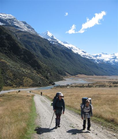
Our party of eight started at Chinamans Bluff, Dart end with windy but pleasant overhead conditions. The walk beside the Dart River was easy going, while taking in the action of the many jet boats thrilling their passengers. The constant change of scenery from forest to open tussock to mountain views soon brings us to Daleys Hut for lunch. Sandflies are aplenty but its only the females that bite. With an afternoon of socialising the time soon passes. The forecast for day 2 is for rain and more rain and so we bunk down with wet weather thoughts on our minds.
A very windy night with an earthquake (some slept through it) made the hut shake.
True to predictions the rain arrived in the morning making it easy to know what to dress in for the day.
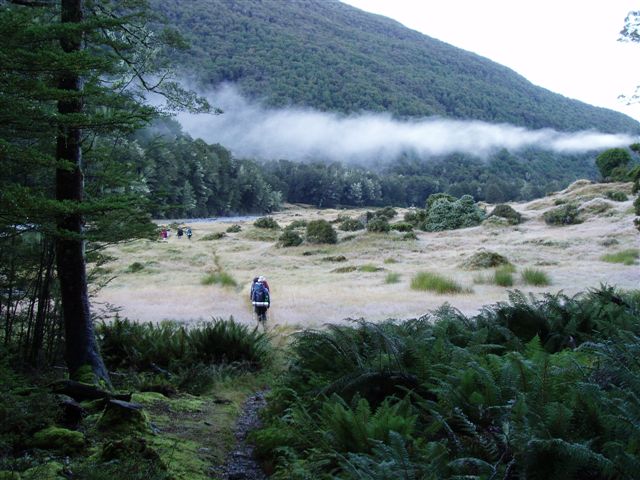
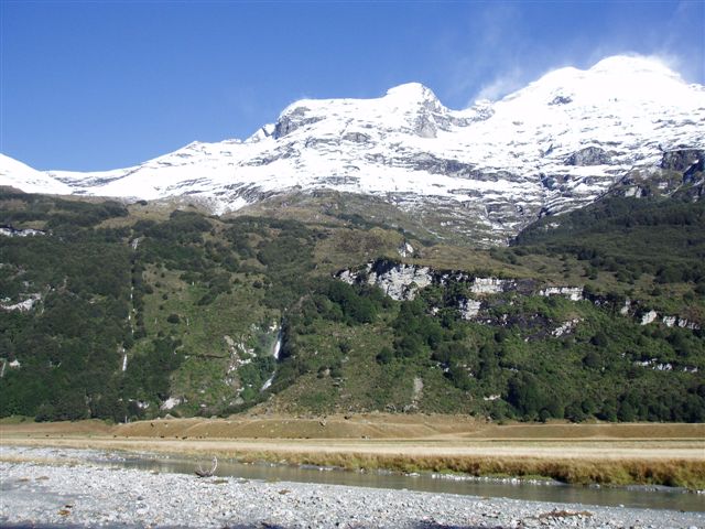
As we made our way across the tussock flats and along the water course tracks, the white waterfalls appeared, cascading down the mountainsides. The bush appears a vibrant green enjoying the drenching, sidestreams aplenty and the need for care when crossing. Its good to belong to a tramping club with experience and good judgement in the party.
Lunch break was taken out of the rain under the Biv Rock near Cattle Flat. With the rain still falling our stay was brief as more side streams were to be crossed before becoming impassable.
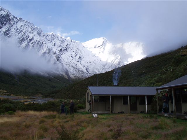
The smell of smoke from the Dart Hut gave away its near presence and soon we were in shelter once again. The busyness of people spreading their clothes to dry and the chatter of catching up with our other group in the hut take up the rest of the afternoon. As the rain stops and the rivers drop, we dream of a different looking day to come.
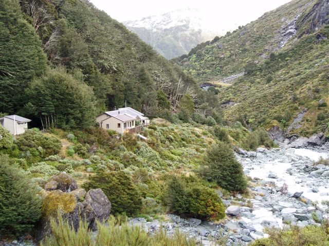
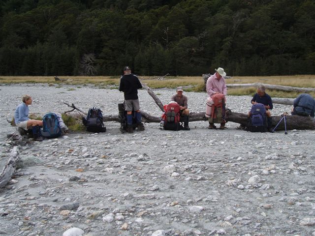
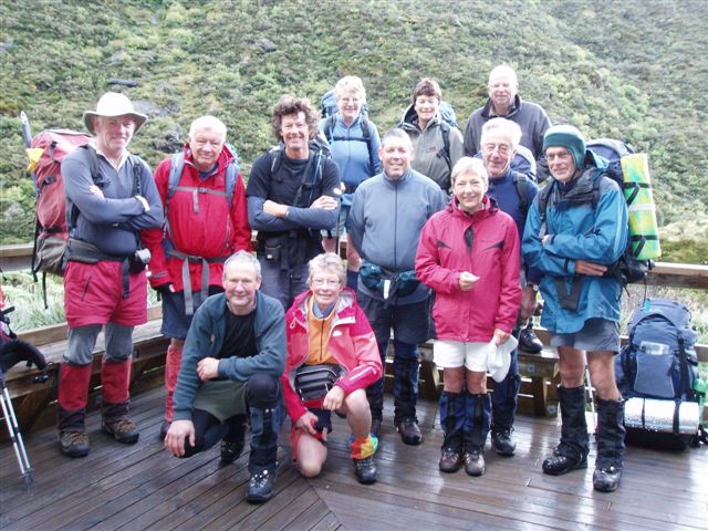
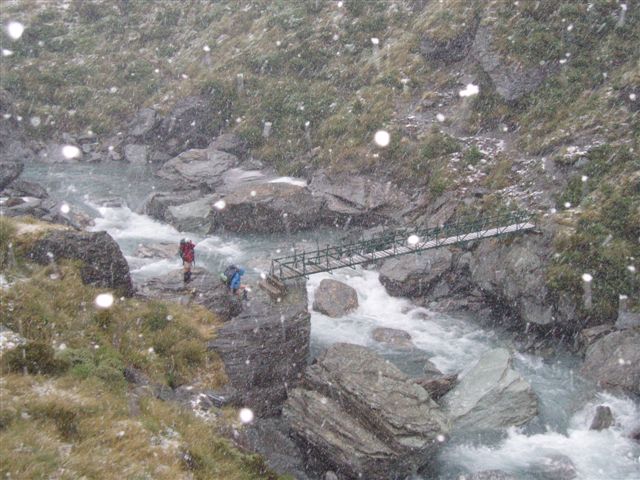
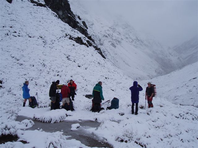
Day three reveals fresh snow on the surrounding peaks and a little sunshine. Bodies refueled and team photo (oops missed two) sorry Tim and Betty, we depart our separate ways. Our team soon encounters the fresh snow on the ground, then once across the upper Snowy bridge, it starts to fall. Who would want to be anywhere else?
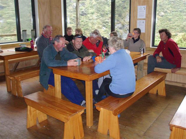
Arriving at the Rees Saddle, the sun almost makes an appearance, while we have snack time. The initial steep descent into the Rees Valley is slippery, needing care as the snowfall begins to get heavier and the temperature drops considerably. A quick pace down valley to rewarm limbs brings us to our destination for day three, Shelter Rock Hut. The fire takes much coaxing to eventually bring the hut to a comfortable temperature. The bunk rooms are separated from the main hut by decking which was also the pathway for the local mouse population. Traps were supplied by the hut warden once advised of their activity and a new past time was created, watching which mouse would survive or not the setting of the traps.(Three dead mice).
Darkness again sends us back to the horizontal position, recharging our batteries for the last day. Day four, a light frost and the promise of a fine sunny day. Breakfast over, firewood replaced and with cameras clicking at the many magic views of the snow capped mountains we were off down the track on our journey to 25 Mile Creek. Early lunch in the sun and then open valley travel to our destination, Muddy Creek.
Our other party made it out safely shortly before us making for a remarkable trip with sun, rain, snow and great company.
Thanks to team members, Ann, Steve, Bill, Stewart G, Jim, Neville, Phyl,Tim, Betty, Robbie, Jac, Dave, and Jane
Maurice.



Wednesday Walkers Stewart Island Trip – March 2012
Tuesday, April 3rd, 2012
no images were found
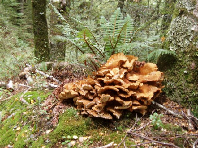
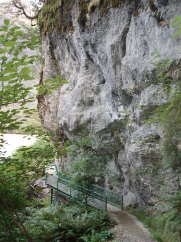
The flight from Invercargill to Masons Bay where we landed on the beach was super and the weather good. After a short walk into Masons Bay hut and laying claim to bottom bunks we decided to walk inland a Kilometre to the old homestead then climb Sand Hill, a dominant hill at the edge of extensive dunes. The track was easy to start with up through sandy tracks but petered out about two thirds of the way up so we bashed our way through scratchy Dracaphillum and flax to reach the pole marking the top. The views over the sand dunes to the sea and islands beyond were great and inland the scrub was sculptured by the wind.
In hope of an easier descent we decided to go down the sandy slopes on the seaward side of the hill. Just as we started down, a vicious hail storm hit with the wind driving it, stinging our bare legs. By the time we reached the dunes the storm had passed and we made our way along the sandy edge of the bush and tracked to the hut to warm up and have lunch.
In the afternoon we explored the dunes with their beautiful tufts of orange sedges and a few deer prints on the sands. Joans’s Skipbo game made for a fun evening.
March 25th 2012
By 9.15 a.m. We were rested, fed and watered so ready to go and explore Masons Bay beach. As we headed out to the sea the wind was fierce, picking up the sand and hurling it into the grasses of the dunes. Although punching into the gale wasn’t the easiest there was plenty to see and photograph as we walked the 10 kms to the gutter at the southern end. A pod of whales had been stranded and were almost decayed to skeletal remains. Lots of fishing debris strew the tide line. The dune grasses rippled and flattened away from the gale. Skiffs of rain had us hunching to minimise the blast. Shelter from the island at the gutter was a welcome place to rest and have lunch, then the sun came through long enough for good photos of the cliffs and wild seas beyond.
no images were found
The tide was beginning to swish water part way through the gutter and the seagulls were making the most of feed at the waters edge.
On the return trek up the beach we appreciated the tail wind. When the big gusts hit I spread my arms like sales to help me on my way.
After 20 kms of hard walking the hut and a warming fire were very welcome.
March 26th 2012
When we set out on the four hour trek to Freshwater Landing the weather hadn’t improved but we had a tail wind. I enjoyed walking through the wind sculptured scrub to the serenades of Tui and Bellbird. Mud puddles were a constant challenge to negotiate and board-walks made for easy crossings of the sedge swamps. I was lucky to see a Kiwi picking its was through a manuka patch. Around 12 noon some of us stopped in a dryish spot for lunch and were entertained by a Bell Bird preening itself.
After another 20 minutes walk the landing came into view. We crossed the swing bridge and it was great to dump packs and enjoyed the shelter of Freshwater Hut
About 4.30 the sound of a motor signalled our water taxi’s arrival. The Pilot looked like a retired fisherman dressed in his trackies and gumboots. He said there was a three metre swell out in the bay. When he called into base the lady’s voice didn’t sound too encouraging. “Rather you than me out there in the bay today!”
Freshwater Creek level was up a couple of feet and the wash from our boat swished into the flaxes and sedges as we motored towards the sea. Our skipper handled the huge waves of the bay with the skill of a lifetime at sea and we enjoyed the exhilarating ride.
From Oban wharf a driver kindly met us and delivered our packs the short distance up to the delightful Thule View Cottage.
Sunshine made the last two days of bush walks and a trip to Ulva Island a delightful top-off to our Stewart Island adventure. A big THANK YOU to Ross for organising yet another great trip.
Tricia
no images were found
Upper Kakanui River – Jan 2012
Sunday, January 22nd, 2012

However, after brief 5am rain, the blue started to appear from the west. That was enough for six of us to pack our bags, though not all had seen the unexpected white layer on the Kakanuis.
Before boots were donned at the car parking spot right above the river, the cameras were clicking and the adrenilan rising, as the views down into the gorge and surrounds were nothing but spectacular.
After a very steep 20min descent to the river down a “strictly” quad-bike track, we were quickly acclimatised to the cooler day with the first of many river crossings. In spite of an earlier recce, there remained the challenge of picking the easiest side of the river for travel and the appropriate place to cross as the nature of this gorge demands it.
This was not a trip where getting from point A to point B was relevant. Rather, take your time and enjoy the amazing surroundings, and that we did. The cameras just kept on clicking, in what I was told was perfect light. The river right through this area is frequently confined to narrow channels of highly polished solid rock, the grain and contours of which is stunning. The depth of water at these places was also mind boggling, remembering that this is after all, the higher reaches of the Kakanui
river.
It was warm and sunny in the gorge, but about midday the clouds built and the cold wind found it’s way right down to where we were.
On the recce, a few days before, there was a heavily populated sea-gull colony about two km up river from our start point. However, on this occasion, although there were a few seagulls in the air,
the entire colony was vacated. I wonder why. Had our presence in this amazingly secluded spot just five days before been too much for them, or is it simply the end of their breeding season.
What with watery sun and cool wind, the dreams of having a swim before tackling the steep climb back to the vehicles shivered out of our minds. Our timing (by chance) was perfect, as rain was clearly imminent as we arrived back at our vehicles.
This was a first time trip for the club and one to be treasured in future, always in the summer and requiring fine weather.
Enjoyed by Jane Green, Jackie Gumb, Noel Pullan, John Hore, Mark Smillie, and Bill Bews.
Thanks must go to Paul Ruddenklau for allowing access to this beautiful part of North Otago .
Kakanui River Gorge January 2012