

Trip Reports
Hideaway Hut
Tuesday, February 25th, 2020
23rd February 2020
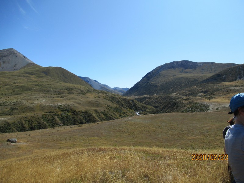
After a day of rain on the Saturday, it was a surprise to see clear skies and sunshine on Sunday morning. We left Oamaru and picked up Donna and Bill at Kurow and Julia at Omarama. From Birchwood Road, we turned left at the DOC sign and drove down the paddock, to the Ahuriri River. The river was deeper than usual so with 14 of us, there were a few groups linking up. Some of us had opted to cross in other shoes and change into our boots on the other side.
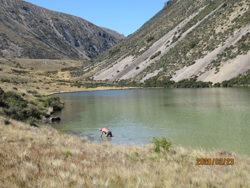
From the river, we walked over to the building under the terrace and then veered off to the left, stopping to re-group at the plateau at 11.45. From here it was only 15 minutes to the tarn so we stopped here for lunch. Bill decided a swim would be good. Usually there are Canadian Geese and other birdlife on the large tarn but there wasn’t any today. On the return trip, we did see two large trout.
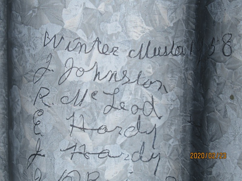
After lunch we continued on to Hideaway Hut and reached it about 1pm. The hut itself is interesting with names etched into the corrugated iron, the earliest I could see was 1958. Inside, there is a large board showing where the names can be found, for example Lord Bledisloe who visited in 1936 was on the left north corner of the roof. The roof was quite rusty but the walls had lists of mustering and shearing gangs for Benmore Station.
We left the hut at 1.30pm and six people opted to return to the vehicles via the south east side of the big hill following the creek out. The remaining eight returned on the same route which we came in. We got back to the vehicles at 3.30pm and the other five arrived soon after. After a hot day, the river crossing was quite refreshing. We debriefed at the Omarama pub and then returned to Oamaru.
Great to see five new trampers out with the club, look forward to tramping with you again – Bill B, Bill F, Donna, Pragati, Margaret, Clair, Julia, Robbie, Lynette, Julian, Neville, Roz, and Colin. Bess




Maitland Hut/Dumb Bell Lake
Tuesday, February 11th, 2020
7th – 9th February
The two trip options for this weekend were combined to form a new one, as numbers were not sufficient to complete both trips.
The new plan was to go from Lake Ohau Station up the Maitland Stream to Maitland hut, day two a day walk up to Dumb-bell Lake and return and day three return to Lake Ohau Station.
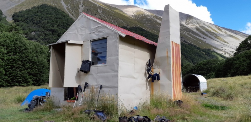
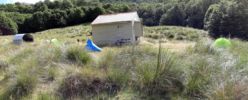
The Maitland Valley in previous visits has been a place which we would have had to ourselves, but not so this time as over the three days our party met fourteen other people, with six tents pitched around the hut plus a large family of mice living in the hut with a continuous buffet from a food stash in a polystyrene box which they had chewed through.
On day one we drove to Lake Ohau Station, checked in with the manager then drove across to the fenceline and 4WD track.
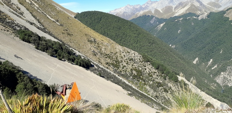
After a one hour walk up the 4WD track we came across a boot on a post indicating the start of our track across some steep sided scree slopes in the direction of a patch of beech trees named the “Beehive”
The track descended to the Maitland Stream alternating with beech forest and river flats to come to a crossing followed by a steep climb and a short pleasant walk where a couple of riflemen were sighted in the trees through to the hut.
With three tents pitched we settled in to enjoy the rest of the day relaxing in the sunshine.
The two who slept in the hut were entertained by the busy mice family, while a noise of a different kind emulated from the tents.
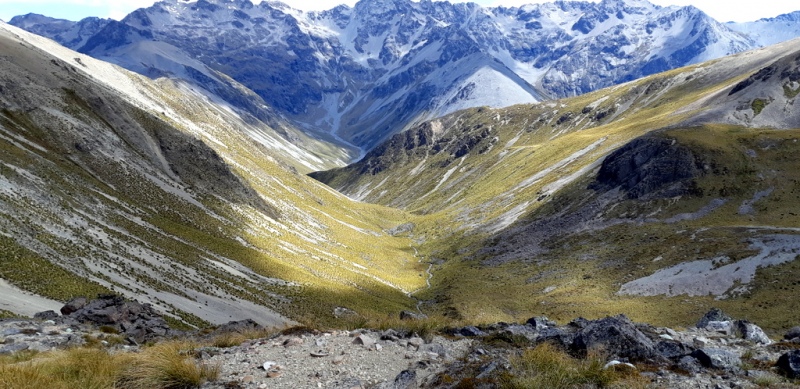
Day two dawned overcast for the trip to Dumb-bell Lake but with a much lighter pack we set off through the bush track to the open tussock valley with spear-grass waiting for their victims. After a few spots of rain the day improved to sunshine, no parkas required.
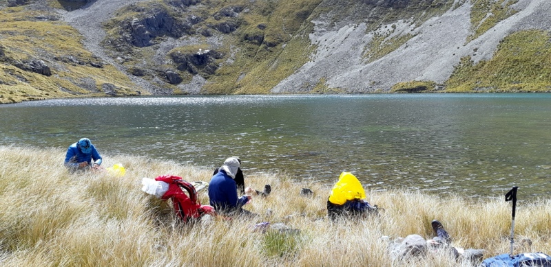
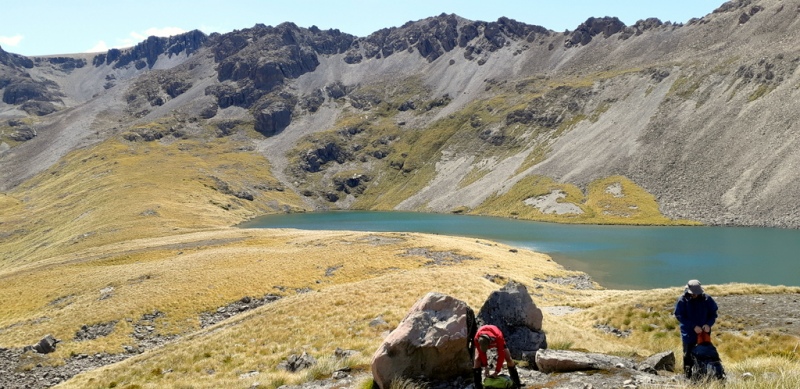
Following the outlet stream from Dumb-bell was slow going over some boulder sections, tall tussock and spear- grass but by noon we had climbed 600m to reach the lake and what a scene awaited us. It was bathed in sun with some shadows around making the difficult walk worth all the effort getting there.
Lunch was taken by the lakeside while watching some ducks enjoying their large swimming pool and then it was time to consider the return journey.
To avoid part of the valley travel we climbed another 50mtrs south and up onto a shingle ridge where we were rewarded with great views of the waterfall from the outlet of Dumb-bell Lake making the effort worthwhile.
Once back in the Maitland Valley, travel became easier as we arrived back at the hut for a well-deserved brew at about 5pm.
On day three we woke to a good frost. With breakfast over packing up frosty tents made for some cold fingers which were soon warmed on the walk out.
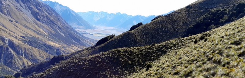
We met the sun near the track connection to the 4WD track and enjoyed the picturesque scene of the Dobson Valley and surrounds while arriving back at the vehicle at 11.30am which made for good timing for lunch at The Wrinkley Ram in Omarama.
Thanks to Bron, Phyllis, Julian and Robbie
Maurice.


Blairgowrie
Sunday, February 2nd, 2020
2nd February 2020
3 trampers looking for a walk turned up at 8-30 am and headed out through Five Forks to Turnbulls Road, stopping at the cattle yards part way along it.
We started off heading SE towards a forestry block, following along the boundry  and crossing a few steep gullies. There were good views here out over the North Otago downlands,
It was then a steady climb, heading south west towards Scout Hill. A light northerly rain started about the time we had a view of the Kakanui’s so we decided to stop for an early lunch and put our parkas on.
With all the ups and downs behind us, it was just a matter of circling round to the farm track which led to the start of Turnbulls Road and a stroll back to the car by 1-30 pm for a 11.5k enjoyable walk. Thanks to Maurice ans Phyllis for coming. Ross M.
Dalgety Range Traverse
Sunday, January 26th, 2020
Sunday 10 January 2020
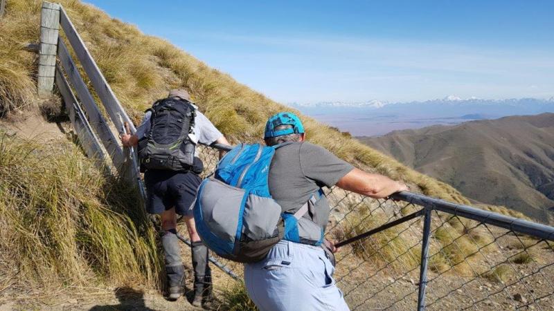
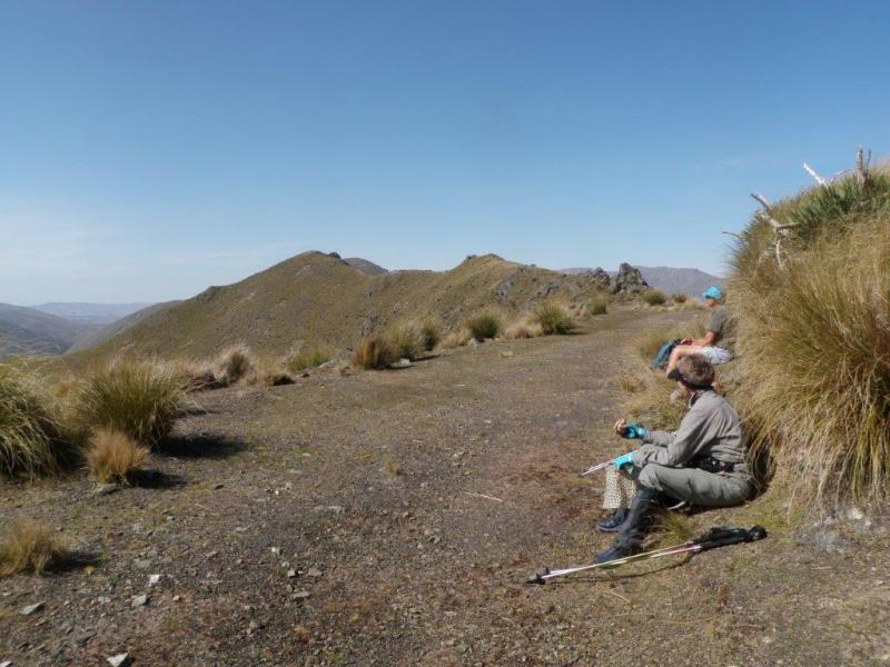
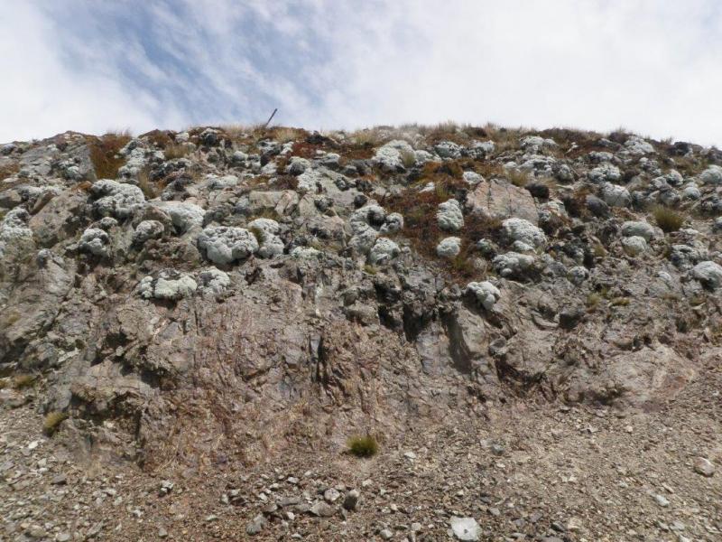
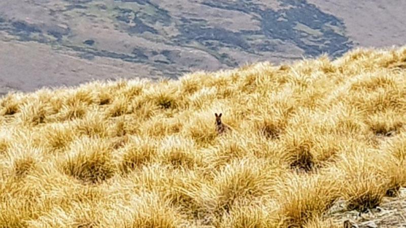
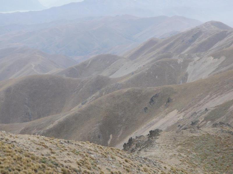
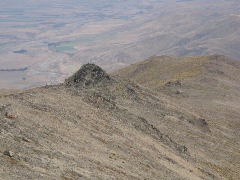
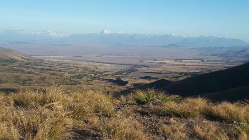
One mountain range, eight wallabies, one chamois and a pine tree accounted for. The mountain range was the Dalgety Range, which runs between the Hakataramea and Mackenzie Passes, and which was walked end to end by seven trampers. The eight wallabies were spied, some bounding through the tussock and others just sitting there erect, ears pricked, watching us. The chamois was photographed and the wilding pine despatched. And there were the views, huge and spectacular. To the north, the snow-capped peaks of the Southern Alps stretching across the horizon, Aoraki/Mt Cook dominating, Sefton and Tasman also prominent. The sharp, white peak glistening away south could only be Mt Aspiring. In between the plains of the Mackenzie Basin stretched, the predominant brown punctuated by blocks of irrigated green and glimmering lakes. To the south stretched the long and broad Hakataramea Valley, bounded on the east by the Hunters Hills and on the west by the Kirkliston and Grampians Mountains. For most of the day the sky was clear, a heat haze building up as the day went on and clouds gathering over the Alps in the afternoon. A light easterly provided some welcome cooling, but gathered strength and swung south around mid-afternoon.
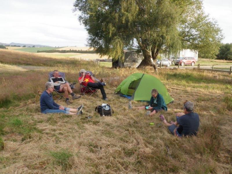
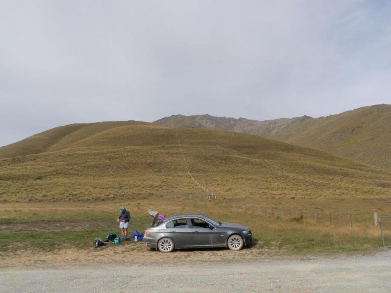
The team travelled up on Saturday evening, leaving Oamaru at 4 o’clock and getting to Kurow at five. Fish and chips ordered and consumed (mostly – for future reference half a scoop is plenty for one person), we set out up the Hakataramea Valley to Cattle Creek, across the river and up the true left to friendly farmers who allowed us to pitch our tents on their front lawn and in the adjacent paddock. In the morning we rose at first light – 5.30 – breakfasted, struck camp and were on the road by 6.40. First stop was the Hakataramea Pass where the four trampers who were tackling the south to north route booted up and set off at about 7.30 while the three who were doing the north to south option took the first party’s vehicle the 23 kms north and then east to the Mackenzie Pass, stopping briefly on the way to admire the memorial to James Mackenzie with its inscription in English, Maori and Gaelic.
North to South
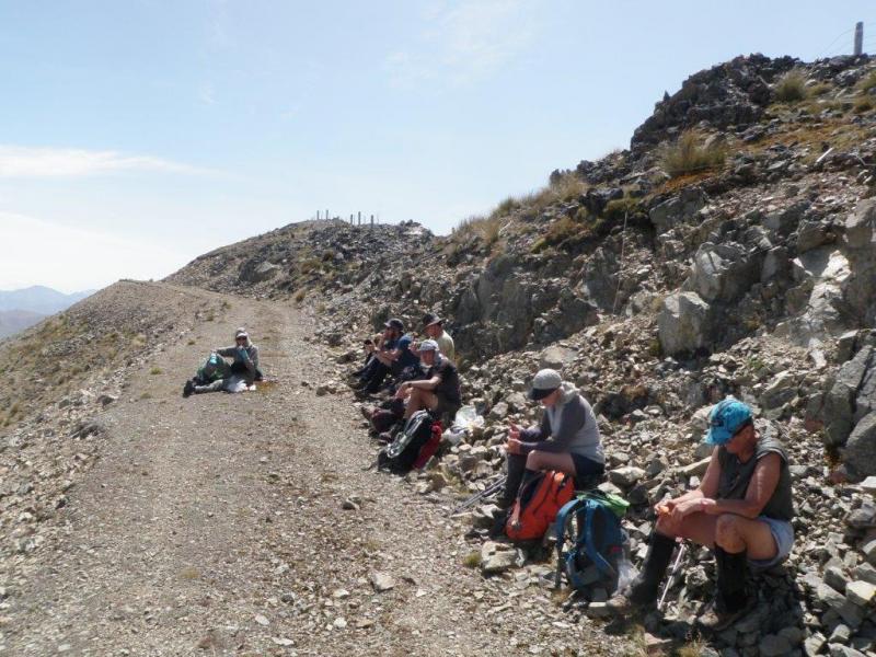
We were looking for a 4wd track which the map showed zig-zagging up the range from between the Mackenzie Memorial and the Pass. However, we spied a track leaving from the pass itself which seemed to offer a more direct alternative. Bad mistake. The grassy track started promisingly, but soon petered out, leading to a slog through waist- high matagouri and knee-high Spaniards which punctured skin through gaiters and drew blood. After a while, a clearer route seemed on offer higher up; it was up a fenceline, direct but steep and with a loose rubble surface. Eventually, 1 ¼ hours after leaving the pass and having climbed some 300 metres we came to a gate on the track we were looking for. This was a 4wd track, mostly gravel and climbing up the range in a series of ups and downs, the former always bigger and the latter consequently depressing. We would follow it for almost 2/3 of the journey on to the natural ridgeline to the high point of Mt Dalgety, rising another 600 metres over 12 kms. About 10.30am, 2 ½ hours after starting the climb, we paused on a level section of track for morning tea/first lunch. We also made first radio contact with the other group who were making good progress on the way down from Mt Dalgety. Two hours later, at 12.30, the two groups met just south of the radio masts on Point 1588. Keys were swapped and second lunch taken.
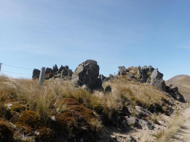
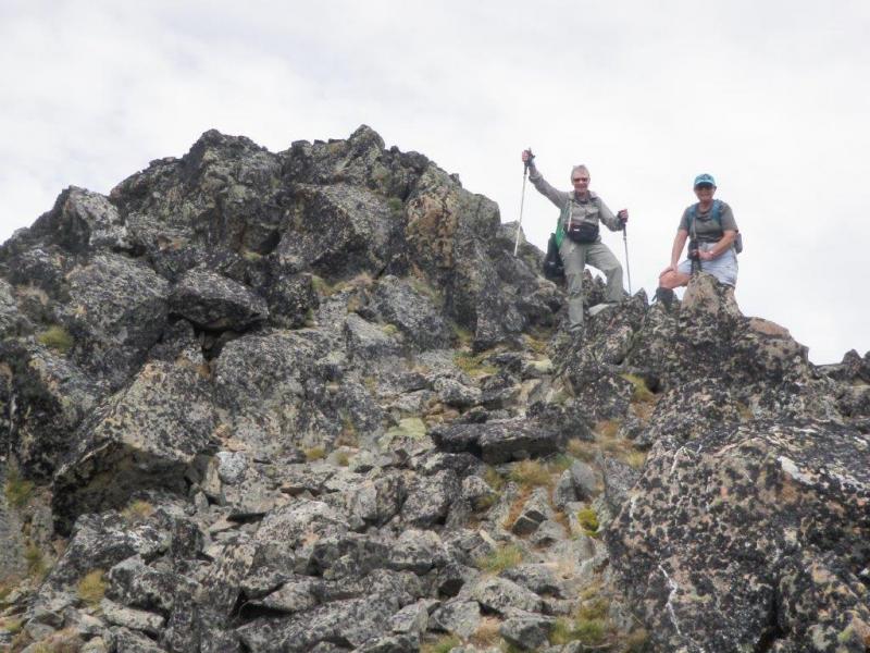
Lunch over, we carried on along the track for another hour or until it petered out. It was almost a relief to be walking on the natural ridgeline after the hard surface of the track, even though the ups and down were steeper and rocky crests had to be negotiated, in one case by taking an animal track which sidled around below the rocks. The vegetation was more varied and we came across several “flocks” of vegetable sheep. By now it was seeming like “over every hill there is another hill” with Mt Dalgety itself proving illusive until, about 3.30, we could at last see the final climb up a spur leading to the rocky 1752 metre summit. It was time for poses and pictures, taking in the now hazy 360o view, a final glimpse back along the range we had traversed, and then turning west and heading down the long spur to the Hakataramea Pass and our waiting car. The route down was pretty straightforward, with a few obstacles in the form of rocky outcrops and rocks hiding in the tussocks, but it took the best part of two hours and we reached the car just on 6 o’clock after a tramp of some 20kms and elevation gain of 1300 metres.
It had been a hard but very satisfying day for Bron, Jane and John.
South to North
Our day started with a 5.30am wake up and the billy on to boil while we packed up our overnight camp. The early start would later be appreciated as the day was going to be hot and the 20km walk included an 850m climb to the high point.
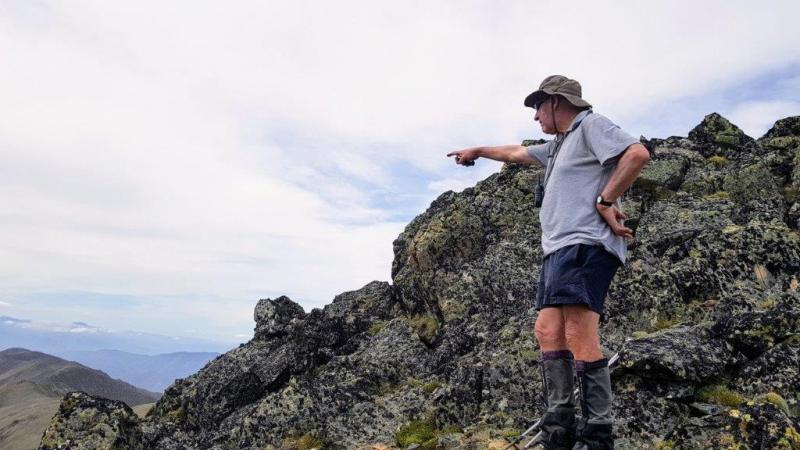
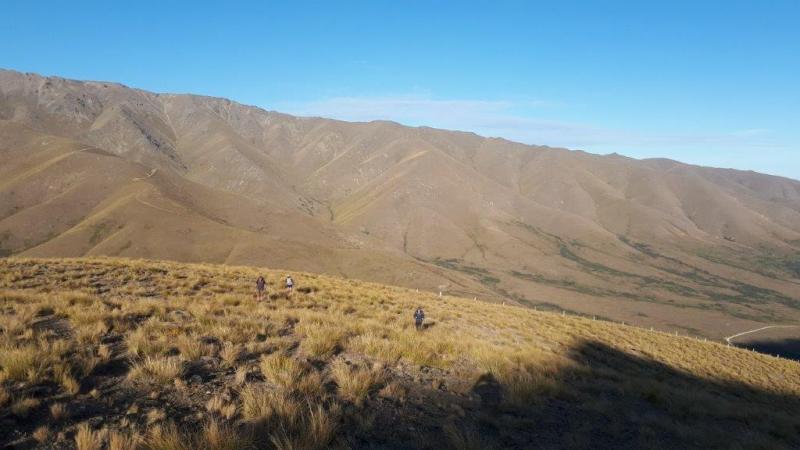
After driving to the Haka Pass, John’s party would continue on to Mackenzie Pass with the vehicle that we would walk to. The time was 7.30am when we set off up the fence line towards Mt Dalgety (1752m) which kept us in the sun’s shadow and made for a pleasant temperature. Later we left the fence line and followed the main ridge direct to Mt Dalgety. Contact with the sun was made and layers discarded as the temperature suddenly increased, thankful that most of the climb was behind us. At 9.30am Mt Dalgety was sighted and soon after we were standing on top admiring the 360 degree views including the Southern Alps, Mt Cook, Mt Aspiring and the lakes. The view of our route ahead looked rather daunting in terms of distance, but as they say every step forward is a step closer to your destination.
Some of the rocky high points on the way were sidled around following old animal tracks, making for a lot easier travel. A couple of wallabies, a Chamois and kid were sighted nearby. A first lunch break was taken before reaching a 4WD track which allowed for more time to take in the views rather than watching every foot step. We were in radio contact with John’s party arranging to meet for lunch and swap car keys, which happened at a rather warm sheltered part of the track.
With farewells we departed in opposite directions. Our journey was the easier, heading down to the Mackenzie Pass with the advice from John not to take a short cut to the vehicle which was up the road from the track end. We did consider it, but after Bron showed us the damage it had done to as much leg as she was going to show us, we decided to stick with the track and a short walk back up the road to the vehicle, which we reached at 3pm. The four tired bodies were, Julian, Mike, Phyllis and Maurice.





Whitehorse Waimate and Beyond
Tuesday, January 7th, 2020
15 December 2019
This trip was meant to be up Mt Kyeburn, but once again the weather would have been chasing us if we had gone there.
So there still were four of us that wanted to stretch our legs & get out for the day before the Christmas rush. I decided that we would go and do the walkways around the Whitehorse in the Waimate area & the weather was meant to be better near the coast. We all piled into Mike’s electric car, so no carbon used on this trip & headed for the car park on the Hakataramea highway.
On arriving at the car park we thought we were in a tourist town because the car park was full & we just had enough room for our car. There were about 20 people in the car park & we later found out they were from Forest & Bird & were doing a bird count in the area before they get a trapping programme up & running.
We started off along the railway track walkway for about 2km & then it was a short climb up with good views to meet the waterfall track. It was here we spotted our one and only Wallaby for the day. The waterfall track is a wee side track that takes you down to a bushy area and a waterfall, which was dry and I got a hard time for it being dry, so it was then back up to the main track for a morning tea break.
We then headed along the Bellbird track & then on to the Whitehorse link track & arrived at the Whitehorse monument for lunch. The skies were clear & we got some good views to the North, South & along the Coast & of course Waimate & It was very pleasant sitting in the sun having lunch.
After lunch we had a look around the monument before heading down the main track through the bush beside the bike tracks to eventually come out on to Point Bush Rd. It was then down the road to the river bridge & down the Garlands track beside the river to meet Mt John Rd. We went down Mt John Rd to Hodges Rd, back out to the Hakataramea highway where the southerly blew up and the weather changed, but we were back at the car park just in time, about 3pm. All up it was about 13km, about 4km of that was on the road.
I would like to thank John, Bron & Mike for their pleasant company for the day.
Neville


