

Trip Reports
Not the Dalgety Range
Tuesday, December 10th, 2019
Sunday 8 December 2019
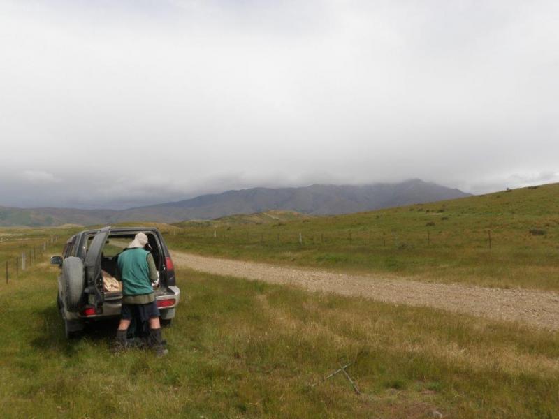
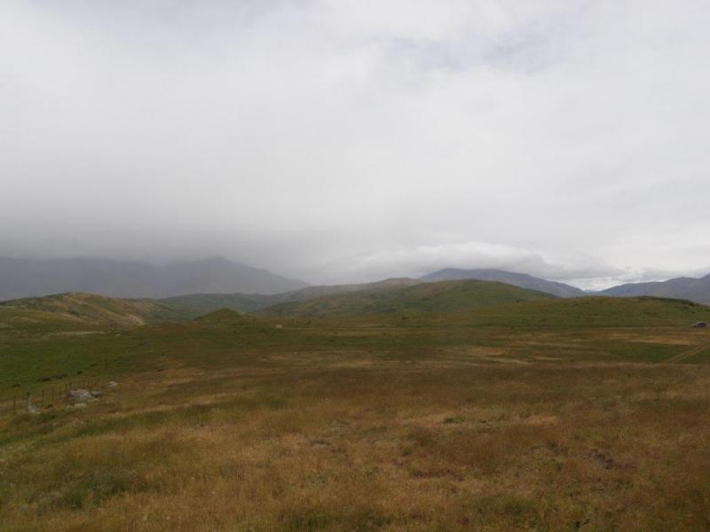
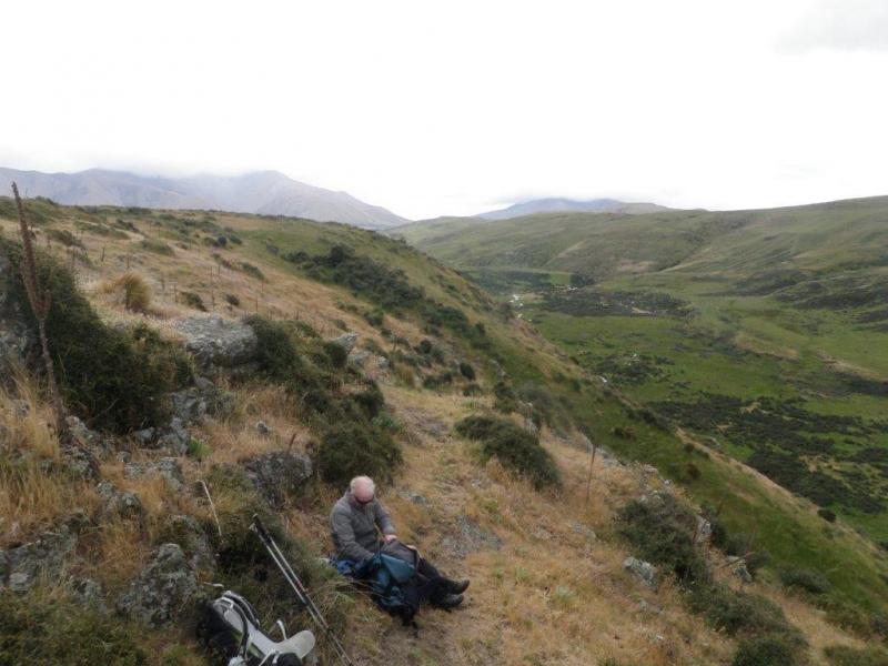
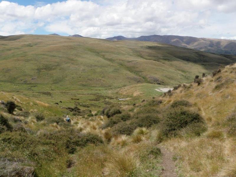
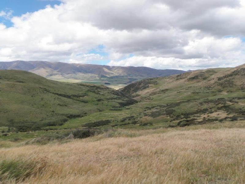
This was supposed to be tramp by eight participants along the length of the Dalgety Range, between the Hakataramea Pass and the Mackenzie Pass. Sustained bad weather forced cancellation. Instead, two did a tramp around the lower hills on a sheep and cattle run on the west side of the upper Hakataramea Valley. After a brief shower from the north, the day was dry and wind moderate at the relatively low altitude. The cloud-capped Grampian and Dalgety Ranges were in view most of the day.
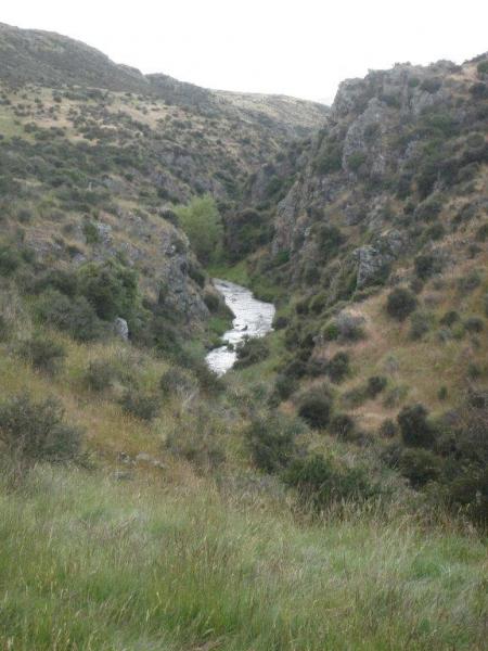
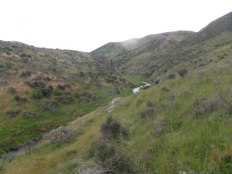
They started on a broad ridge and wound down into the valley of the Grampians Stream which comprised alternating grassy flats and steep, rocky gorges. At one point they were frustrated by dense matagouri and forced back to descend to the stream. Soon they came to an impressive gorge which brought a side stream (Morton Stream) into the main valley. The crossed the main stream and climbed up a steep spur and along a high ridge which ran 100 metres above the stream’s true right and provided extensive views of the surrounding countryside. This also provided a sheltered spot for lunch.
After lunch, the pair carried on northwards along the ridge as it gradually dropped, and finally descended off it into the valley just before the Grampian Stream entered it from the north-west. Crossing the stream and the valley floor, they climbed up a track heading north on the eastern side of the valley, then swung right to cross the broad ridge which separates the Grampian and Dunstan Streams and drop down to the latter. As the Dunstan valley floor looked boggy, they sidled along above the true right of the stream, enjoying views across to the Hunters Hills. At a marked bend in the valley, they stopped to admire the scene and do a spot of map-reading to identify the best route up the hill back to the car. This proved to be a shallow gully heading south-east past a stock dam housing a family of Paradise Ducks – 2 adults and 9 ducklings – which provided some entertainment.
The car was reached by Bill and John after a very pleasant 5 hour walk on interesting terrain.
Mt Ida Water Race Bike Ride
Monday, December 2nd, 2019
1st December 2019
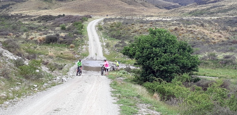
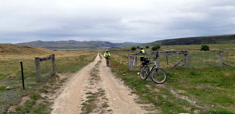
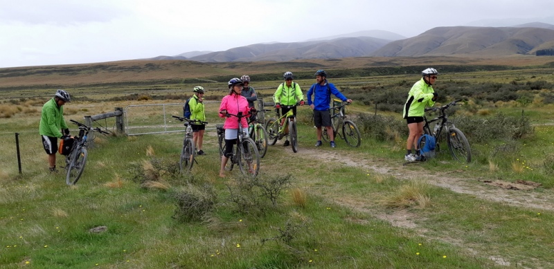
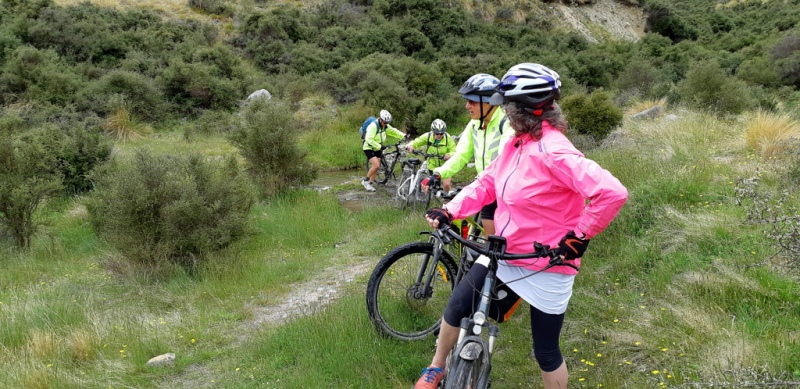
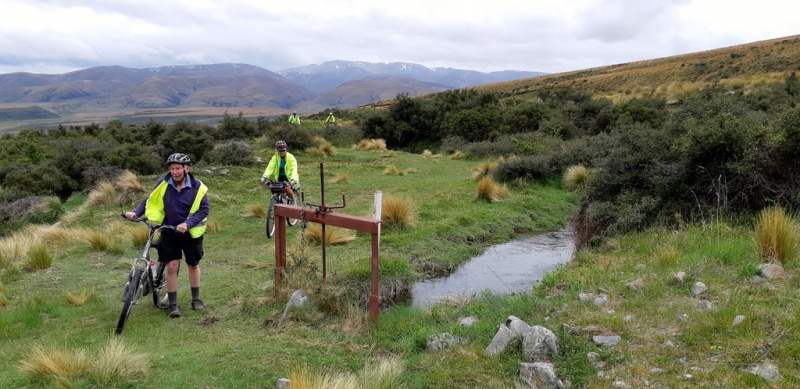
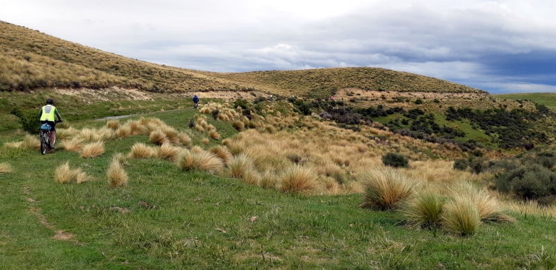
At 7.30am with a trailer loaded with bikes, six people left the car park for a day ride in Central Otago on the Mt Ida Water Race Trail. Two then travelled to Herbert where they joined another couple and two more bikes, all eventually meeting with another couple at Wedderburn. All ten drove along the gravel Hills Runs Road for about ten kms to a carpark. After a few showers south of Hampden the skies had cleared but still looked murky around the hills.
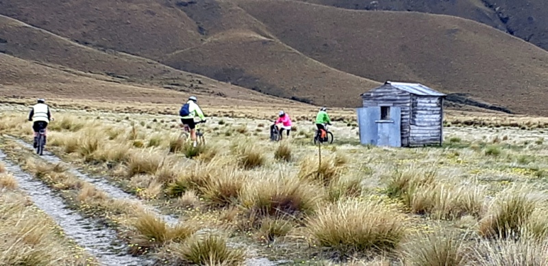
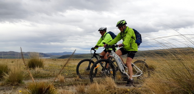
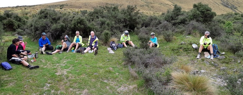
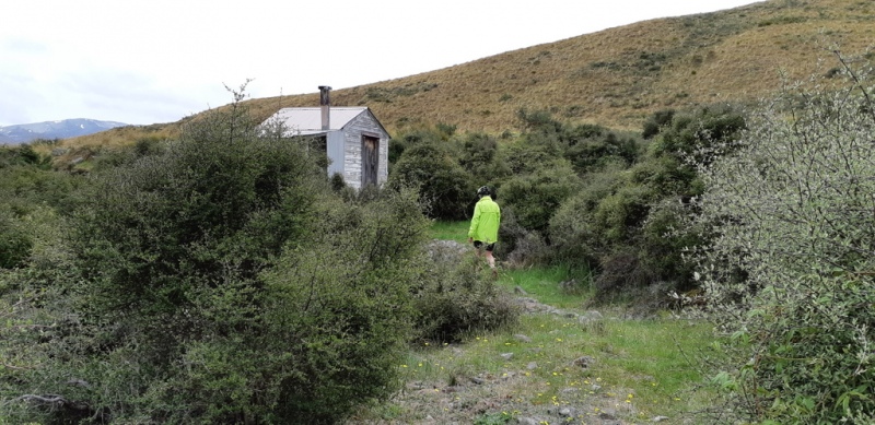
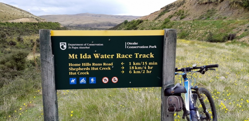
The ride commenced immediately with a stream crossing and a grind uphill on the road for two kms. Four of the riders on E bikes took a detour into view the huts at Falls Dam, coming across four little unidentified long legged chicks and their mum on the road. Finally after twelve kms on the bumpy road, several stream crossings and pedalling into the wind we came to a DOC sign indicating where we were to turn off to the track. Morning tea was taken half way along the gentle ascent at an old derelict hut before reaching the water race. One cyclist disclosed that he had forgotten his bike pants but had found a new use for his knee pad. (Unfortunately it was lost later on) The gradient became easier and with the wind at our backs, we pedalled on down a 4wd track for eighteen kms negotiating overgrown grass and tussocks at times and being careful not to fall in the fast flowing water of the Mt Ida water race. A clearing in the bush provided us with shelter for a lunch break and afterwards we took a short walk up to a hut which was complete with carpet, an outside bath with lid and a coal range to heat the water. Back on the bikes for the last few kilometers the wind gusts became stronger and we encountered a brief shower just before arriving at the cars at about 3pm, without any major mishaps for the day.
Thanks to Jane, Graham, Julian, John, Bronwyn, Ross, Barb, Robbie and Maurice for their company on an enjoyable ride in Central Otago
Phyllis.

Dave’s Track – South Peak
Tuesday, November 19th, 2019
17 November 2019
This was a combined tramp with the Geraldine Tramping Club. Five trampers from Oamaru and two from Kakanui met the five from Geraldine at the Trotters Gorge Reserve parking area at 9 o’clock. Introductions made and boots donned, we set off up the main track through the six stream crossings (mostly ankle deep) to the University of Otago hut. After a chat with inhabitants and ascertaining that the swimming hole was still well filled with gravel, we resumed the walk to the end of the “maintained track”, through some gorse and across the stream for the last time, exiting up a 2 metre clay bank. The track continued to follow the tributary creek to the point where Dave’s Track turned off. It was then up a steep bank, along a terrace and back down across the creek. Thanks to the efforts of Maurice and Phyllis, the track was clear and well marked as it wound across the valley floor. Finally it turned up, traversing under an overhanging cliff and, after a couple of steep, slippery ascents, came out on top of a rocky ridge.
This was the perfect place for a snack and to look back down the valley to work out the route we had followed. Shortly, it was time to move on so we continued up the ridge, over a rocky step, to come out on to a forestry road. This led at first downhill, then steadily up towards South Peak. Nearing the top, we chose a track veering off to the right (east) and, when it ran out, turned left between the pine trees and gorse to find a way to the peak, which we reached from the eastern side just before 12.30pm. This provided excellent views of the coastline from Cape Wanbrow to the Dunedin hills, and of the volcanic cones and other hills inland as we settled down for lunch.
Lunch over, we struggled to find a way down from the summit to the road we knew lay directly north. Any old tracks were completely overgrown and it took a bash through the gorse eventually to find the bulldozed track leading down to the road. At the road, we turned left past a locked barrier to continue down to the junction with the Piwakwaka Road which we followed down for some 300 metres before veering left on to a semi-obscure track which took us steeply downhill. Another 300 metres down, a largely overgrown “clearing” marked the entrance to the track to Ahn’s Peak, a rocky knob with sheer faces to the west, south and east but an easy approach from the north. The easy approach, however, was well overgrown so some bushbashing was required before we reached the spectacular rocky summit.
View admired and cameras triggered, it was back to the track and down it to meet up with our morning route at the entrance to Dave’s Track. From there, we retraced our steps down beside Trotters Creek, past the University hut on through the seven stream crossings to reach the cars just on 3 o’clock. Then back to Hampden, where the Geraldine group were introduced to the world’s largest ice-creams, so rounding off an excellent day for Lindsay, Claire, Jenny, Pam, Des, Neville, Julian, Colin, Jane, Phyllis, Maurice and John.


Anderson’s Lagoon-Shag River
Wednesday, November 6th, 2019
Sunday, 3rd November
A perfect day for a walk by the seaside: fine, sunny, blue skies, warm with a light north-easterly breeze. Six trampers drove to the end of Anderson Road, off the Goodwood Road east of Palmerston. At about 9.15 we set off walking along the track through a replanted area beside Andersons Lagoon. The lagoon itself was unusually high so the main track was in places under water requiring detours. After about half a km the track reached Stony Creek beach and we turned north, past the closed mouth of the lagoon to the steel ladder which climbed up the cliff. It was not long after high tide, which meant that the beach route would be impassable, so we climbed the ladder and the following zig-zag steps to reach the esplanade walking track which undulated along the clifftops for some two kms, crossing several small streams on the way.
Eventually the track turned down a bank on to the beach. However, waves were still reaching the rocky cliff bottom which marked the entry to the next stretch of beach, so we settled down for a leisurely morning tea while the tide continued to go out. After half an hour or so, we packed up again and clambered over the rocks to reach the sandy beach which would take us to our end point at the mouth of the Shag River. On the way we were entertained by wildlife: rows of shags nesting on rocky ledges like tenements in an old European city. Most nests occupied by one or two adults and a chick – some almost fully fledged and ready to leave home, others still covered in down. Further along, a couple of basking sea lions threatened to bar progress, rearing up and forcing us to walk higher up the beach to get by. A third sea lion was enjoying the surf. A number of tracks across the sand suggested that several more had been in occupation earlier.
A bit after noon, we reached the end of the beach and settled down on the Shag Estuary side of the sand dunes for lunch in the sunshine and sheltered from the light easterly. Just on one o’clock we started heading back south along the now much wider beach, the damp sand providing firm footing. We passed a sea lion heading seawards and then the two we had avoided in the morning, now much more relaxed. When we reached the cove where we had come down from the esplanade track in the morning, we decided to take advantage of the lower tide and tackle the next headland. We managed with a scramble over rocks, made more difficult than expected by a fairly fresh slip which had deposited some room-sized boulders in the way. This brought us out on to the next sandy beach which terminated in a headland which dropped directly into the sea with no rock pile to offer a way round. So it was a climb back up to the track, over the hill, and down to the next beach to the south. This provided good going and the now almost low tide meant that we could negotiate the last headland with relative ease, back to the Stony Creek beach, through the sand hills and along the lagoon-side track to reach the cars just on 3pm. The combination of seascape, cliffs, beach and wildlife had made for an interesting day which was enjoyed by Phyllis, Maurice, Bronwyn, Jane, Bill and John.


Herbert Forest Working Bee
Wednesday, October 9th, 2019
A small group of 6 gathered at Goblin Woods and after sorting the jobs to be done the group split into 3 lots of 2. Each if these set off to work in Hoods, Podocarp and Swallows. A variety of jobs were done mostly in returning signage to original order and track maintenance. Two seats were installed in the Hoods. Rebating of DoC 200 was done a few days earlier and traps are now fitted with mousetraps.
Thanks to the team!